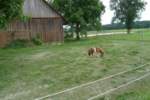
© Velontour - Dein genussvoller Radurlaub - © Oberoesterreich Tourismus GmbH_Robert Maybach
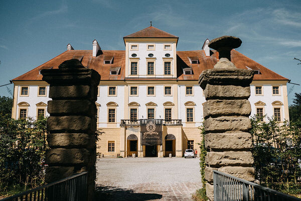
© Velontour - Dein genussvoller Radurlaub - © Oberoesterreich Tourismus GmbH_Robert Maybach
© Velontour - Dein genussvoller Radurlaub - © Oberoesterreich Tourismus GmbH_Robert Maybach
© Velontour - Dein genussvoller Radurlaub - © Oberoesterreich Tourismus GmbH_Robert Maybach

- Lyhyt kuvaus
-
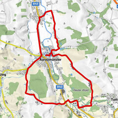
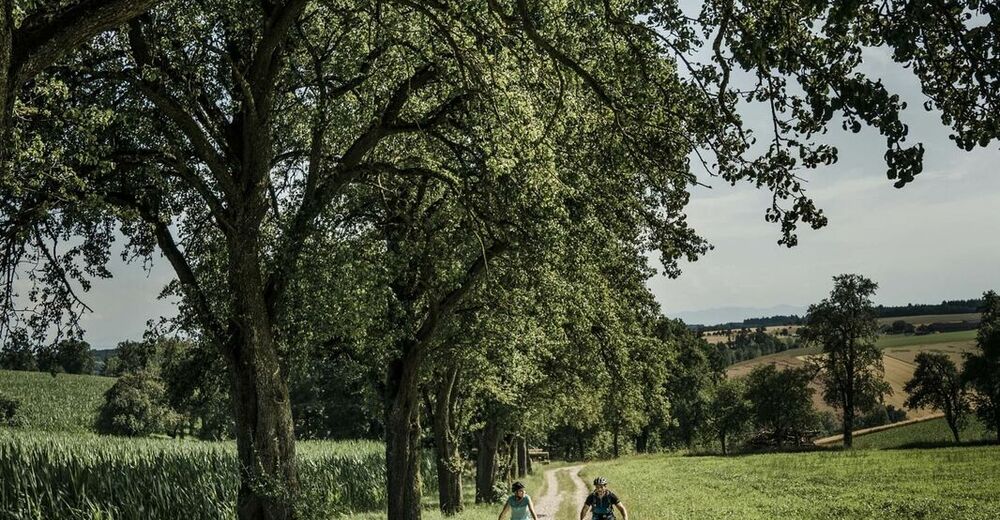
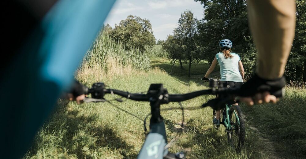
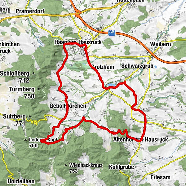
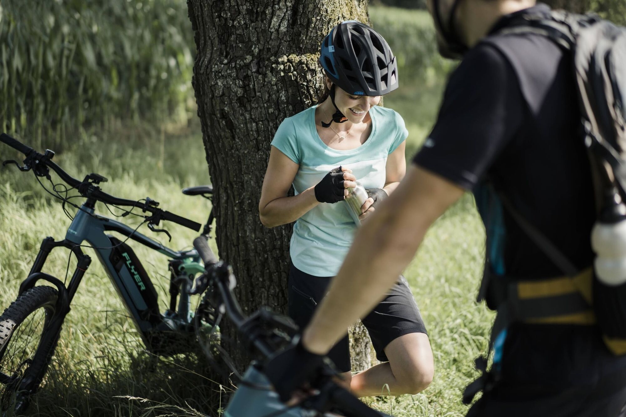
This about 24 km long round tour starts at the valley station Luisenhöhe in Haag am Hausruck and leads via Geboltskirchen back to the starting point.
- Vaikeus
-
tapa
- Arviointi
-
- Reitti
-
Brunnberg0,1 kmOberntor0,2 kmHatscheksiedlung0,6 kmPfarrkirche St. Vitus0,6 kmHaag am Hausruck0,6 kmHochfeld1,7 kmAubach2,6 kmGrolzham2,8 kmLeithen3,6 kmErlet4,0 kmMarschalling4,2 kmTrattnach5,4 kmGründling6,1 kmObergmain7,3 kmAltenhof am Hausruck8,8 kmSt. Koloman9,3 kmFarthof9,8 kmLucka11,8 kmOberentern12,3 kmBrunau14,5 kmTrattnach15,0 kmScheiben15,6 kmTrattnach Ursprung16,6 kmGschwendt18,0 kmGasthof Reiterhof Pichler19,6 kmLedererwirt19,7 kmGeboltskirchen19,8 kmAspet20,2 kmBergham21,0 kmBuchet21,1 kmMostheuriger Hausl´s21,8 kmOdelboding21,9 kmLetten22,8 kmDitting23,4 kmLuisenhöhe23,6 kmBrunnberg23,9 km
- Paras kausi
-
tammihelmimaalishuhtitoukokesäheinäelosyyslokamarrasjoulu
- Korkein kohta
- 648 m
- Kohde
-
4680 Haag am Hausruck
- Korkeusprofiili
-

-

-
KirjoittajaKiertue Sporty adventure round käyttää outdooractive.com toimitettu.
GPS Downloads


Yleistä tietoa
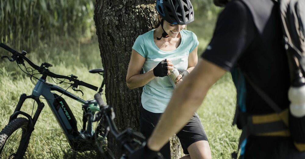
Virvokepysäkki
Lisää retkiä alueilla
-
Hausruckviertel
107
-
Hausruckwald
17
-
Geboltskirchen
9