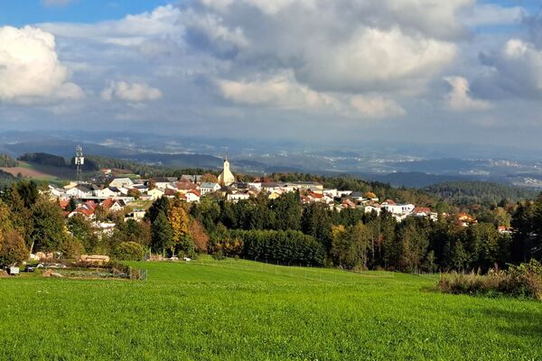
© Oberösterreich Tourismus GmbH/Moritz Ablinger - Moritz Ablinger
- Lyhyt kuvaus
-
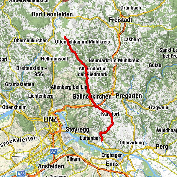
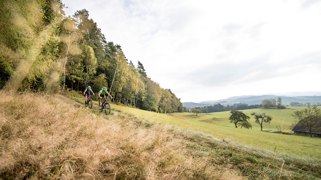
The Gusental Bike Path is a route that takes you from north to south through the Mühlviertel.
- Vaikeus
-
tapa
- Arviointi
-
- Reitti
-
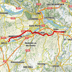
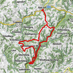
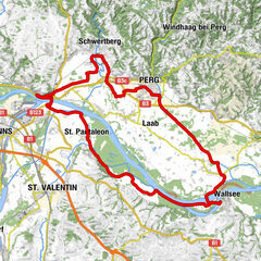
Sankt Georgen an der Gusen (262 m)0,8 kmSchörgendorf5,5 kmEdtsdorf7,0 kmKatsdorf (306 m)8,6 kmSportunion Katsdorf9,2 kmPestsäule Baßgeige9,9 kmBach10,4 kmKlendorf11,2 kmLangwiesen12,8 kmPlank13,8 kmSchweinbach14,2 kmGallneukirchen15,7 kmEvangelisches Pfarramt15,8 kmRiedegg18,9 kmKlamleiten22,8 kmLa Bella31,3 kmReichenau im Mühlkreis31,4 kmRamberg32,1 kmZeil32,8 km
- Paras kausi
-
tammihelmimaalishuhtitoukokesäheinäelosyyslokamarrasjoulu
- Korkein kohta
- 761 m
- Korkeusprofiili
-

- Kirjoittaja
-
Kiertue Gusental cycle path R28 käyttää outdooractive.com toimitettu.
GPS Downloads


Yleistä tietoa
Virvokepysäkki
Lisää retkiä alueilla
-
Mühlviertel
217
-
Mühlviertler Sterngartl
144
-
Gallneukirchen
33