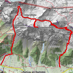
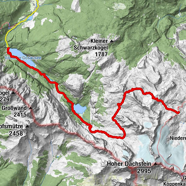
Von der Simonyhütte über Hoher Trog und Adamekhütte zum Vorderen Gosausee

© Matthias Seyfert
© Matthias Seyfert
© Matthias Seyfert
© Matthias Seyfert
Retkitiedot
19,5km
931
- 2.360m
2.252hm
2.252hm
04:14h
- Lyhyt kuvaus
-
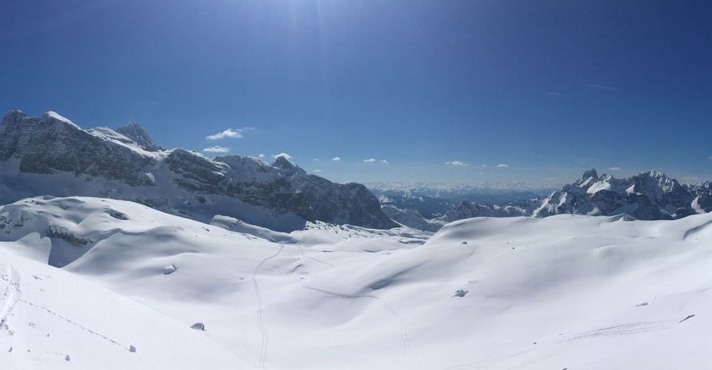
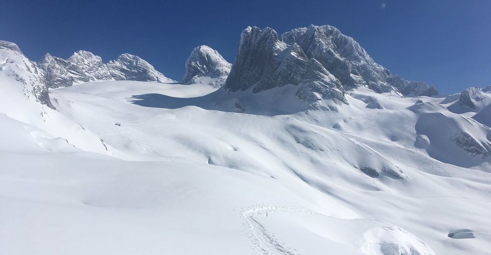
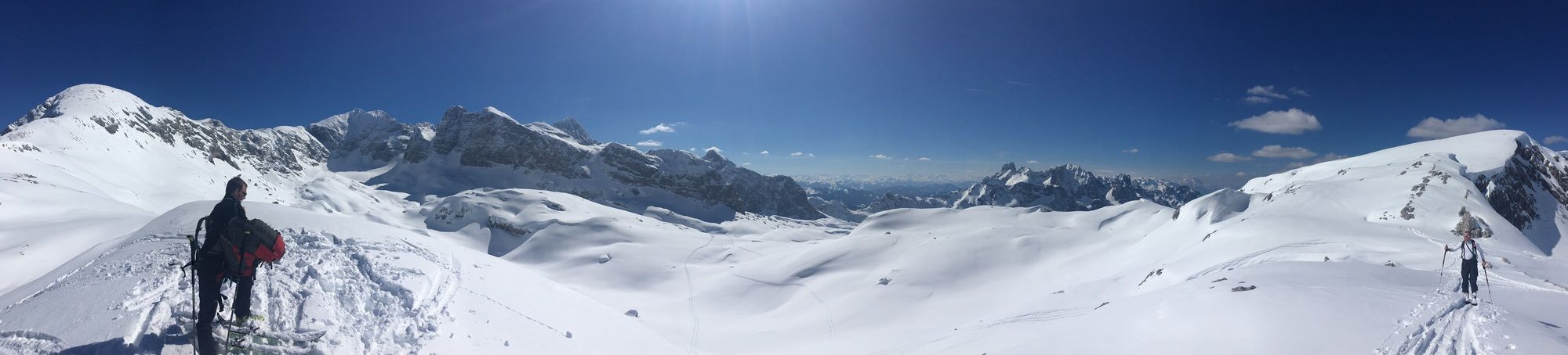
Lange hochalpine Durchquerung, bei der man das Dachsteingebiet von einer anderen Seite erfährt.
- Vaikeus
-
vaikea
- Arviointi
-
- Lähtöpiste
-
Simonyhütte oder in der Gegenrichtung von Gosau.
- Reitti
-
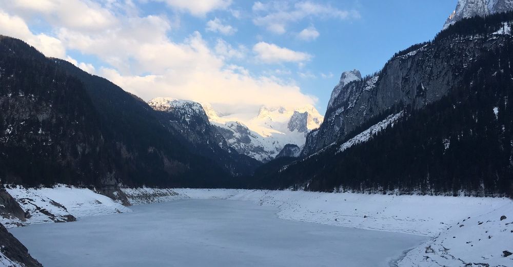
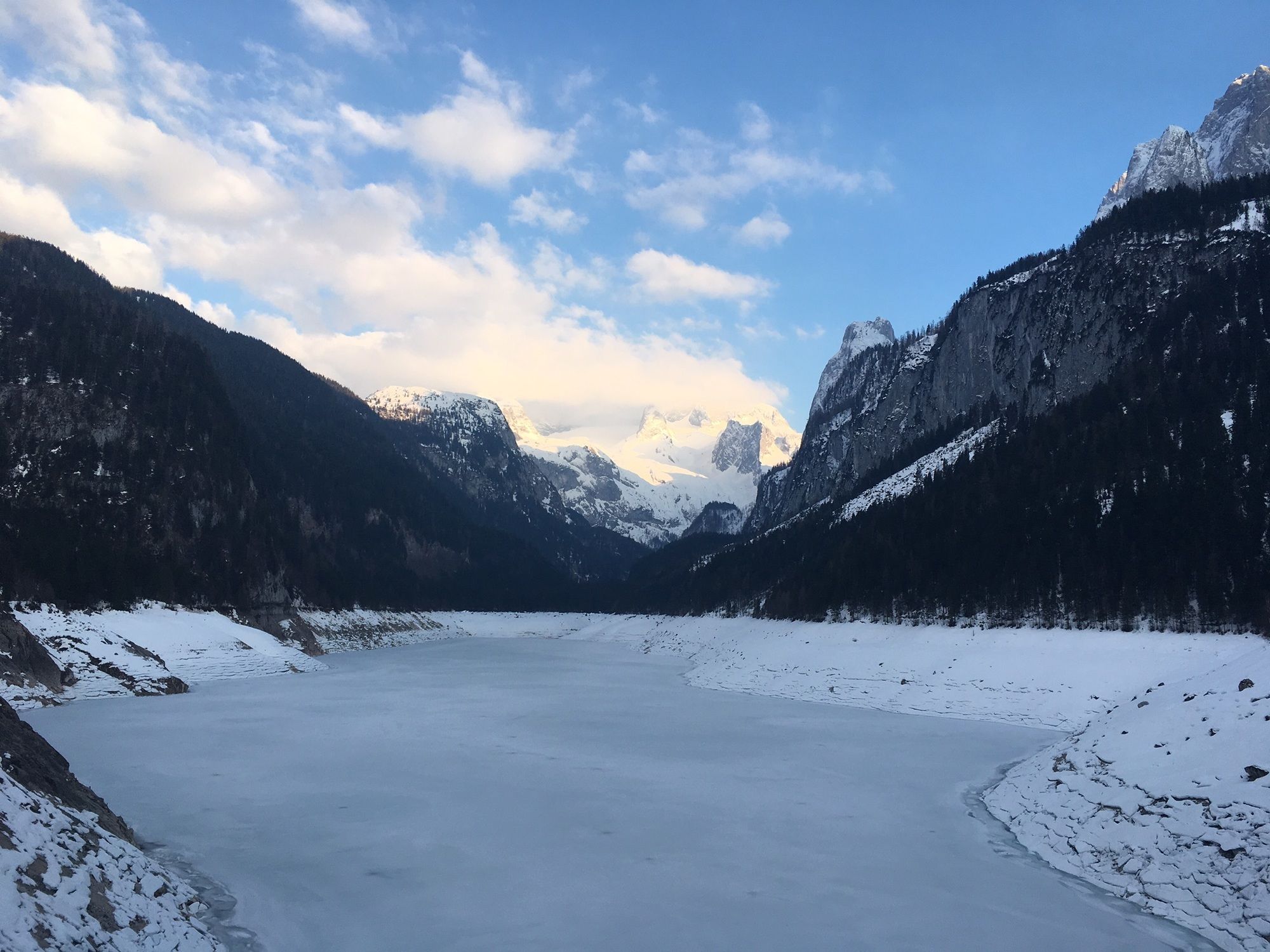
Hoher Trog (2.359 m)2,0 kmHosswandscharte (2.187 m)4,9 kmLauningfall15,3 kmGasthof Gosausee19,4 kmBlick zum Dachstein19,5 km
- Paras kausi
-
elosyyslokamarrasjoulutammihelmimaalishuhtitoukokesäheinä
- Korkein kohta
- Hoher Trog (2.360 m)
- Kohde
-
Simonyhütte oder in der Gegenrichtung von Gosau.
- Exposition
- Lepo/Retriitti
-
keine - Winterraum Adamekhütte


")