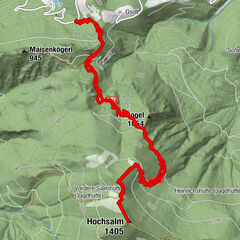
Retkitiedot
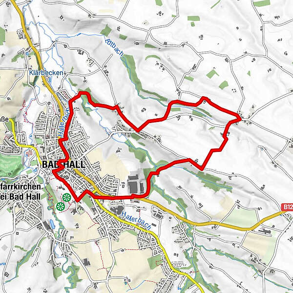
10,13km
348
- 407m
128hm
130hm
02:45h
- Lyhyt kuvaus
-
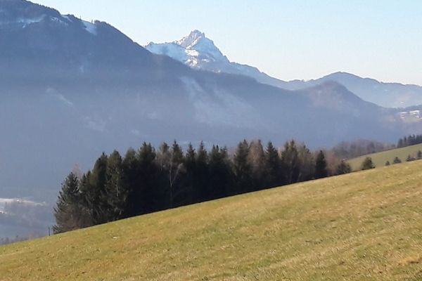
Kulinarisch interessanter Rundweg mit Unterkunfts- und Verpflegungsmöglichkeit
- Vaikeus
-
helppo
- Arviointi
-
- Lähtöpiste
-
Eduard-Bach-Str.(Forum Hall)
- Reitti
-
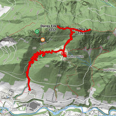
Bad HallOrtmühle2,5 kmGroßmengersdorf4,6 kmLandgasthaus Bachmayr4,7 kmMostheuriger Bayer7,2 kmKleinmengersdorf7,2 kmBad Hall9,9 km
- Paras kausi
-
tammihelmimaalishuhtitoukokesäheinäelosyyslokamarrasjoulu
- Korkein kohta
- 407 m
- Kohde
-
Eduard-Bach-Str.(Forum Hall)
GPS Downloads


Lisää retkiä alueilla
-
Traunviertel
1940
-
Tourismusregion Bad Hall
770
-
Bad Hall
141