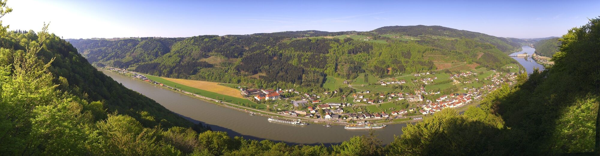
© Verein Kultur und Tourismus an der Donau in Engelhartszell - Wundsam

- Lyhyt kuvaus
-
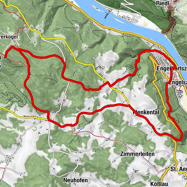
Interesting hike to the highest elevation of the Alpine foothills, Haugstein Mountain.
Along the way, a visit to the "Trout circus with mill museum" is highly recommended. Those interested in culture can visit the market church, the new Gothic church is Stadl, the artistically designed stations of the cross and the Jagabild, the hunter memorial in the district of Schärding - Vaikeus
-
tapa
- Arviointi
-
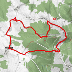
- Reitti
-
EngelhartszellPfarrkirche Maria Himmelfahrt0,1 kmEngelszell0,4 kmFlenkental3,5 kmMühlbach (587 m)3,7 kmStadl6,7 kmJagabild Kapelle8,3 kmHaugstein (895 m)9,6 kmOberweinbrunn10,0 kmGasthaus Binderwirt16,1 kmCafe-Pension Holmes16,1 kmEngelhartszell16,2 kmEngelszell16,3 km
- Paras kausi
-
tammihelmimaalishuhtitoukokesäheinäelosyyslokamarrasjoulu
- Korkein kohta
- 881 m
- Kohde
-
Market Town Hall Engelhartszell
- Korkeusprofiili
-

- Kirjoittaja
-
Kiertue Jagabild-Haugstein-Hike käyttää outdooractive.com toimitettu.
GPS Downloads


Yleistä tietoa
Virvokepysäkki
Kulttuuri/Historiallinen
Sisäpiirin vinkki
Fauna
Lupaava
Lisää retkiä alueilla