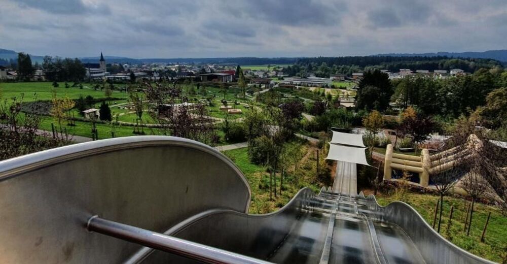
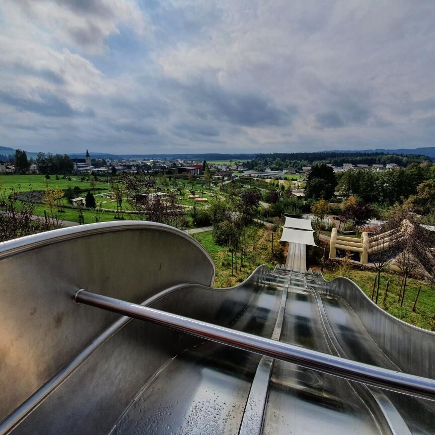
© Marktgemeinde Natternbach - IKUNA

- Lyhyt kuvaus
-
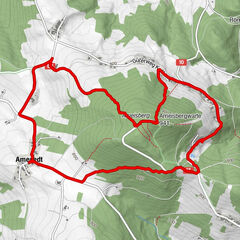
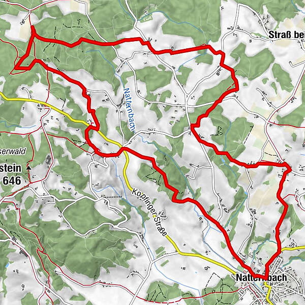
From Natternbach to the Virgin`s Rock natural landmark and Natternbach - source, then via several villages back to the starting point
- Vaikeus
-
tapa
- Arviointi
-
- Reitti
-
Natternbach (434 m)Püret2,6 kmKreuz3,3 kmPfeneberg3,7 kmZiernau4,2 kmUntereck4,3 kmEck5,2 kmHochfilz5,9 kmHochholding7,3 kmWirt in Tal9,5 kmTal9,8 kmOberhörzing11,3 kmMoos11,8 kmKapping13,1 kmReiting14,2 kmWeibing14,8 kmNatternbach (434 m)17,1 km
- Paras kausi
-
tammihelmimaalishuhtitoukokesäheinäelosyyslokamarrasjoulu
- Korkein kohta
- 628 m
- Kohde
-
At the info point in the Natternbach sports and leisure center
- Korkeusprofiili
-

- Kirjoittaja
-
Kiertue Indian path käyttää outdooractive.com toimitettu.
GPS Downloads


Yleistä tietoa
Virvokepysäkki
Kulttuuri/Historiallinen
Lupaava
Lisää retkiä alueilla
-
Hausruckviertel
1483
-
Vitalwelt Bad Schallerbach
368
-
Natternbach
127