© Tourismusverein Gsund Leben - Bruno Brandstetter
© Tourismusverein Gsund Leben - Bruno Brandstetter

- Lyhyt kuvaus
-
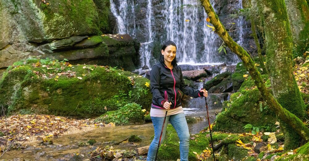
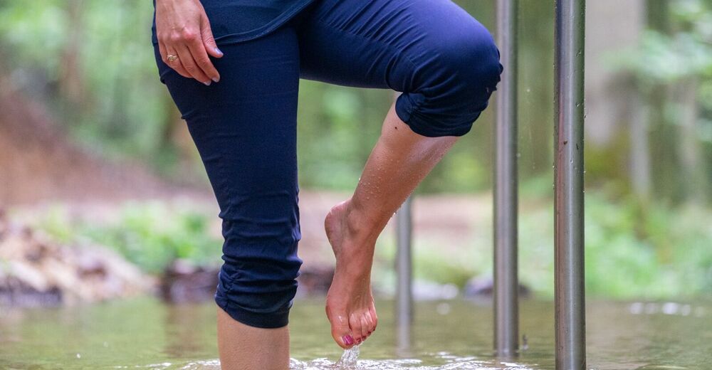
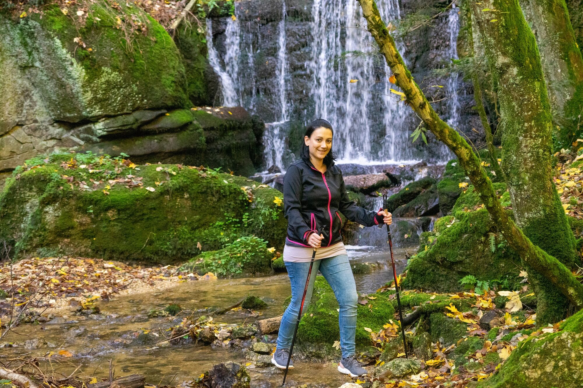
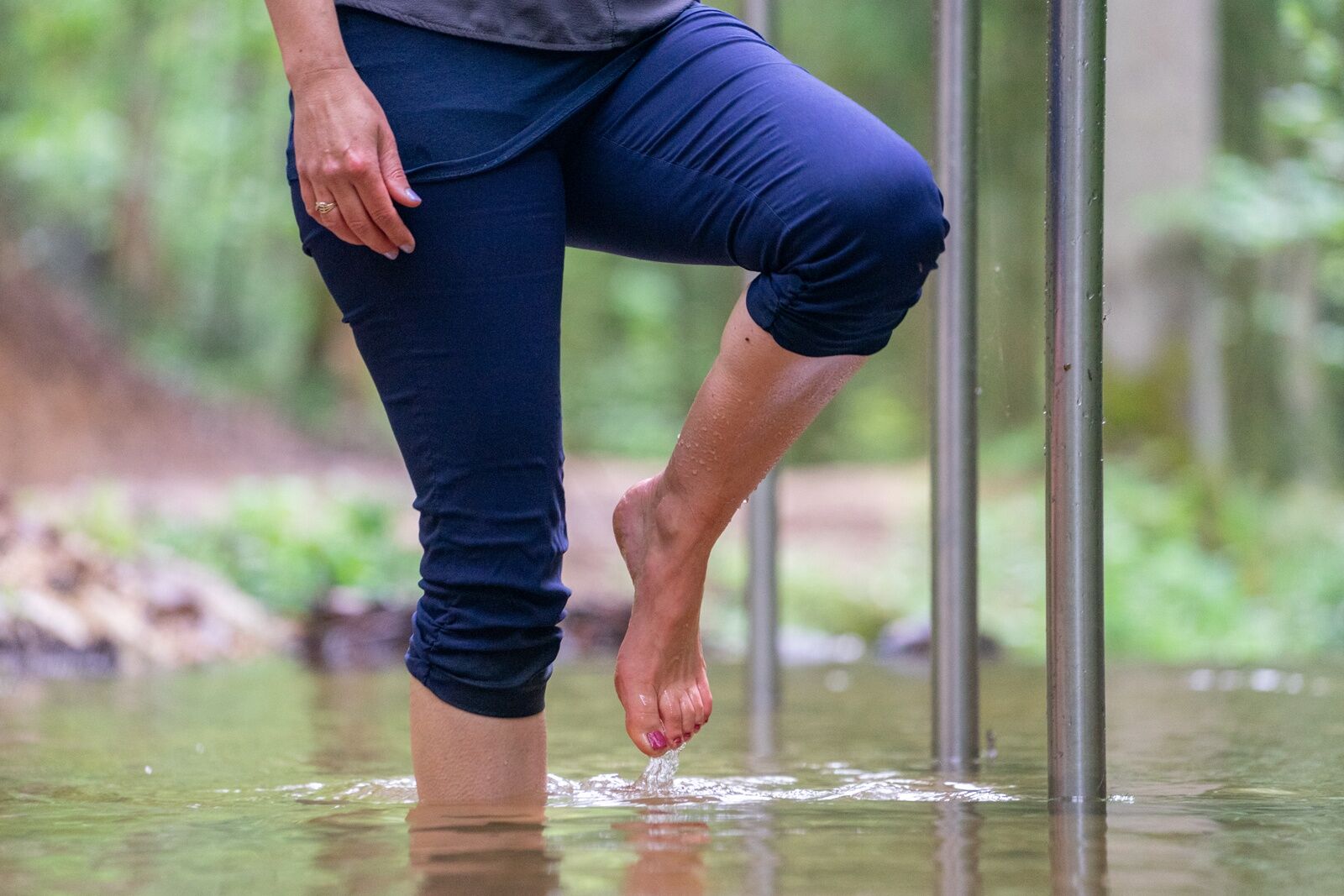
The Kneipp-Trail for a healthy body and mind. In addition to the wonderful nature at Kempbach stream, there are also several options for enjoying sports. Eight new motor skills stations feature various practice options for burning off energy
- Vaikeus
-
tapa
- Arviointi
-
- Reitti
-
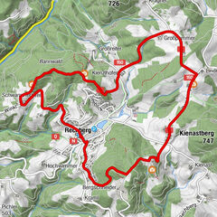
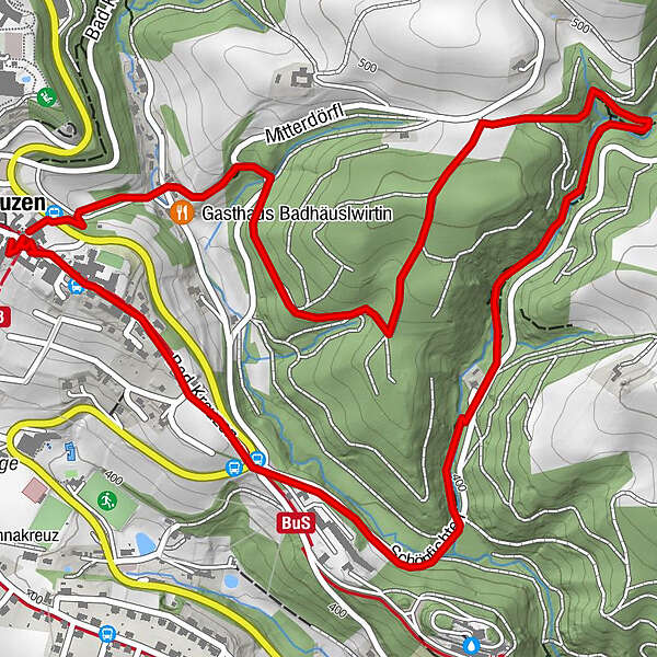
Bad KreuzenKirchenwirt0,1 kmNeuaigen1,1 kmGasthaus Badhäuslwirtin3,7 kmKirchenwirt4,2 km
- Paras kausi
-
tammihelmimaalishuhtitoukokesäheinäelosyyslokamarrasjoulu
- Korkein kohta
- 500 m
- Kohde
-
Municipal Office Bad Kreuzen
- Korkeusprofiili
-

- Kirjoittaja
-
Kiertue Kneipp-Trail Bad Kreuzen käyttää outdooractive.com toimitettu.
GPS Downloads


Yleistä tietoa
Virvokepysäkki
Parantava ilmasto
Kulttuuri/Historiallinen
Lisää retkiä alueilla
-
Mühlviertel
1781
-
Strudengau
802
-
Bad Kreuzen
213