© TV Nationalpark Region Ennstal

© TV Nationalpark Region Ennstal

- Lyhyt kuvaus
-
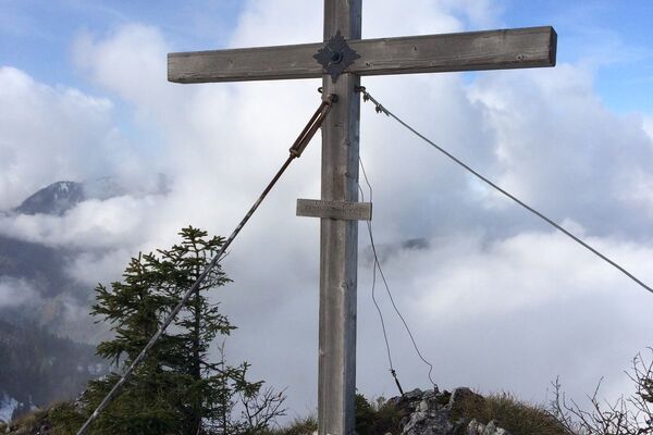
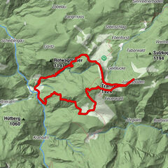
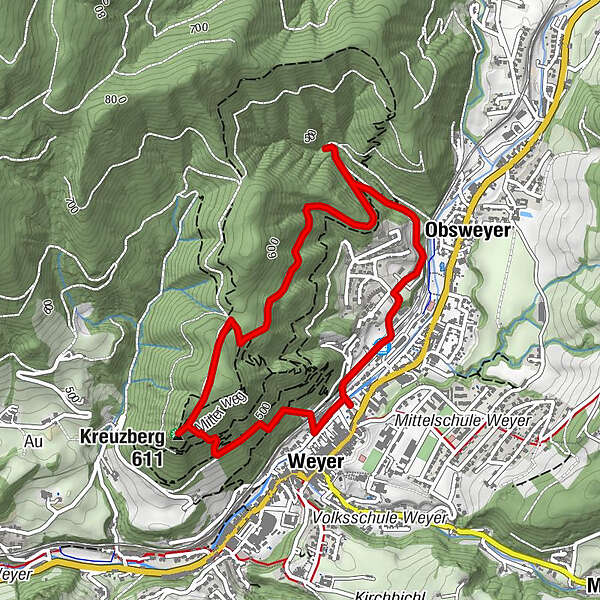
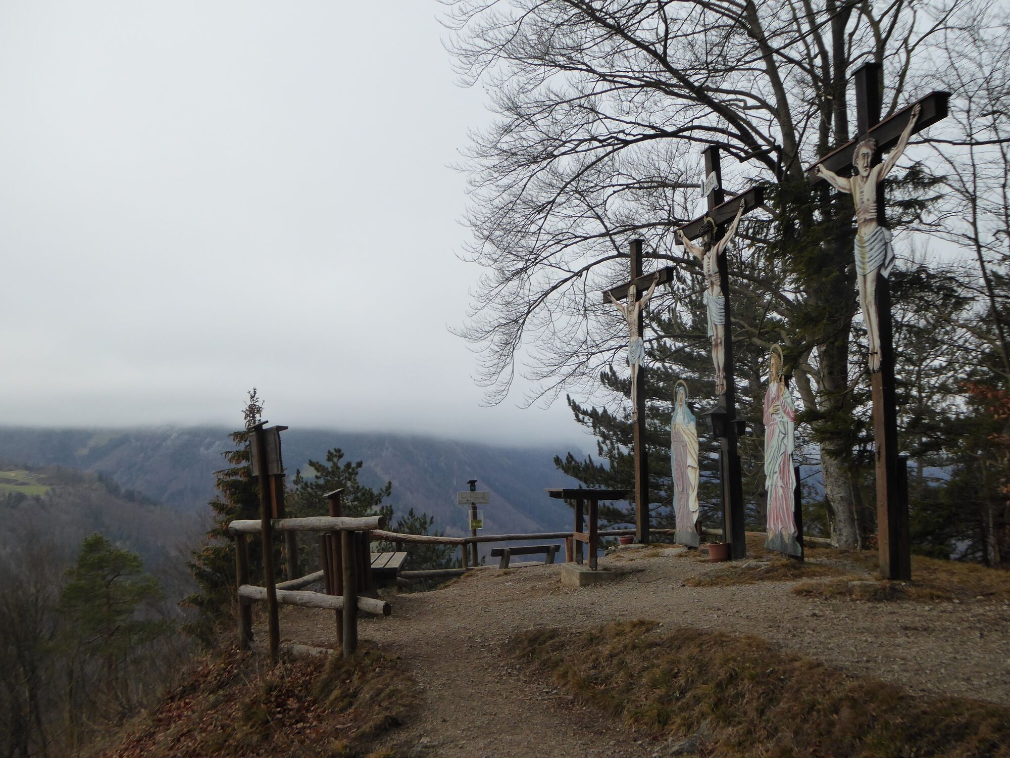
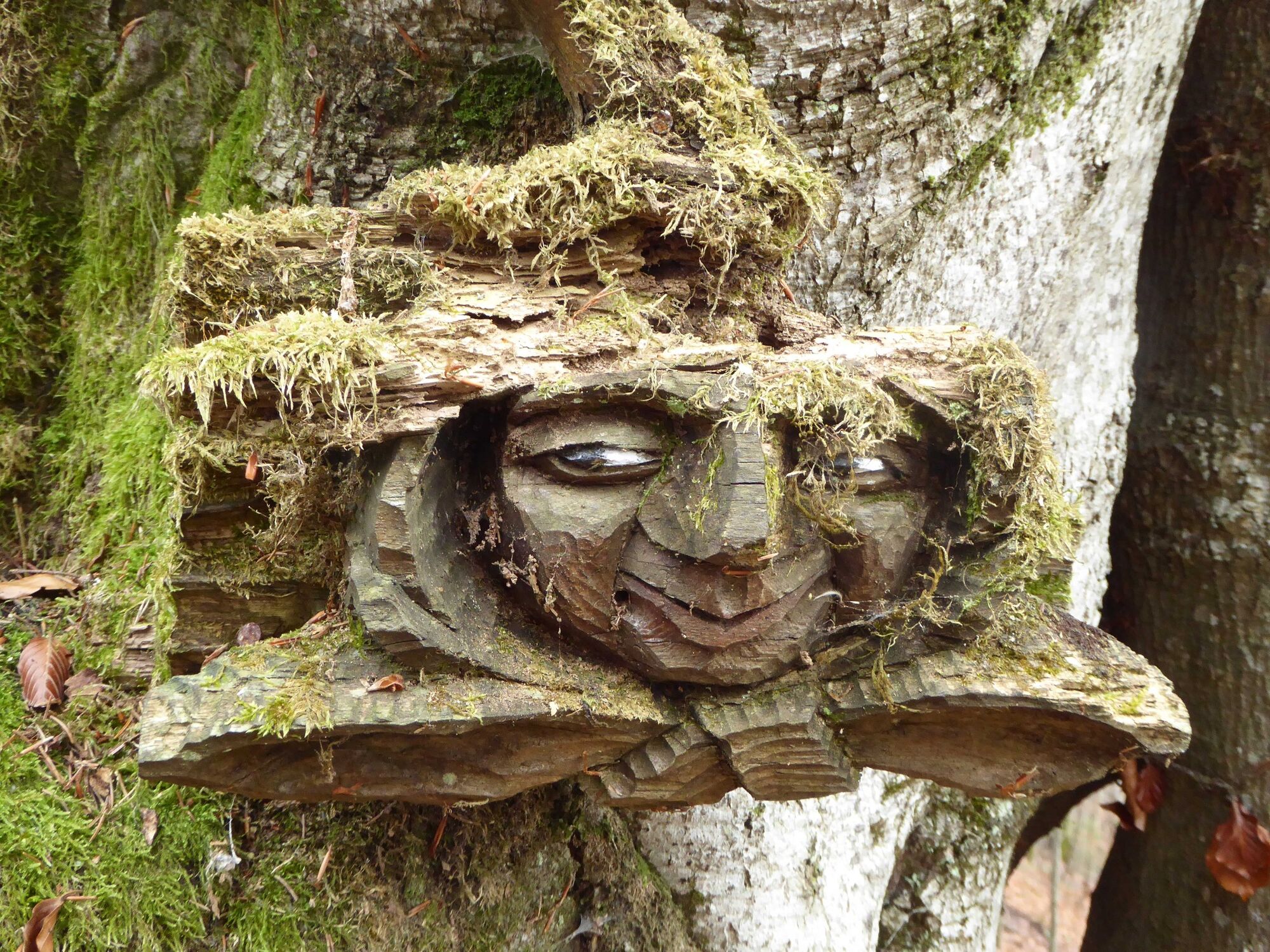
Hiking and walking tour in the well-developed network of paths in the Kreuzberg nature reserve
- Vaikeus
-
tapa
- Arviointi
-
- Reitti
-
Weyer0,2 kmKreuzberg (611 m)1,1 kmObsweyer3,9 kmWeyer an der Enns4,5 km
- Paras kausi
-
tammihelmimaalishuhtitoukokesäheinäelosyyslokamarrasjoulu
- Korkein kohta
- 616 m
- Kohde
-
Weyer/Kreuzberg parking near the market place
- Korkeusprofiili
-

- Kirjoittaja
-
Kiertue Kreuzberg Nature Reserve - Route 5 käyttää outdooractive.com toimitettu.
GPS Downloads


Yleistä tietoa
Virvokepysäkki
Flora
Lupaava
Lisää retkiä alueilla
-
Gesäuse
2228
-
Melker Alpenvorland
798
-
Weyer
312