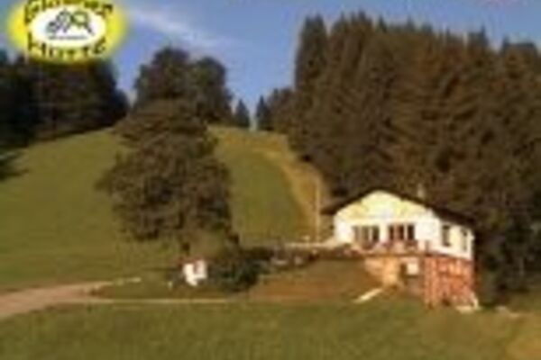
© Tourismusverband Steyr Nationalpark Region - Gemeinde Dietach

© Tourismusverband Steyr Nationalpark Region - Gemeinde Dietach

- Lyhyt kuvaus
-
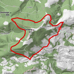
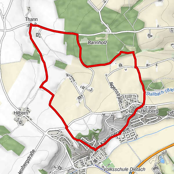
Circular trail between meadows and fields and along and through the forest with great views at Leitnerberg
- Vaikeus
-
helppo
- Arviointi
-
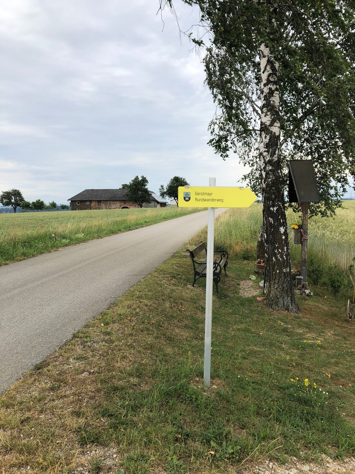
- Reitti
-
DietachThann2,1 kmWirt in der Thann2,3 kmHeuberg5,1 kmDietach6,2 km
- Paras kausi
-
tammihelmimaalishuhtitoukokesäheinäelosyyslokamarrasjoulu
- Korkein kohta
- 368 m
- Kohde
-
Dietach/Kaiblingerstraße-Pfarrberg
- Korkeusprofiili
-


- Kirjoittaja
-
Kiertue Circular Trail Gerstmayr käyttää outdooractive.com toimitettu.
GPS Downloads


Yleistä tietoa
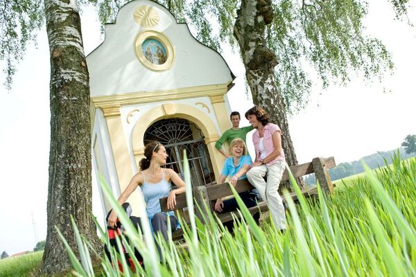
Virvokepysäkki
Lisää retkiä alueilla
-
Traunviertel
1940
-
Tourismusregion Bad Hall
770
-
Dietach
113