© Gemeinde Gramastetten

© Gemeinde Gramastetten - Beate Kepplinger


- Lyhyt kuvaus
-
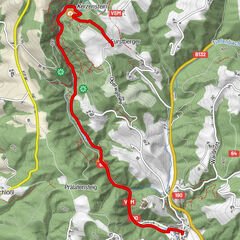
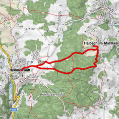
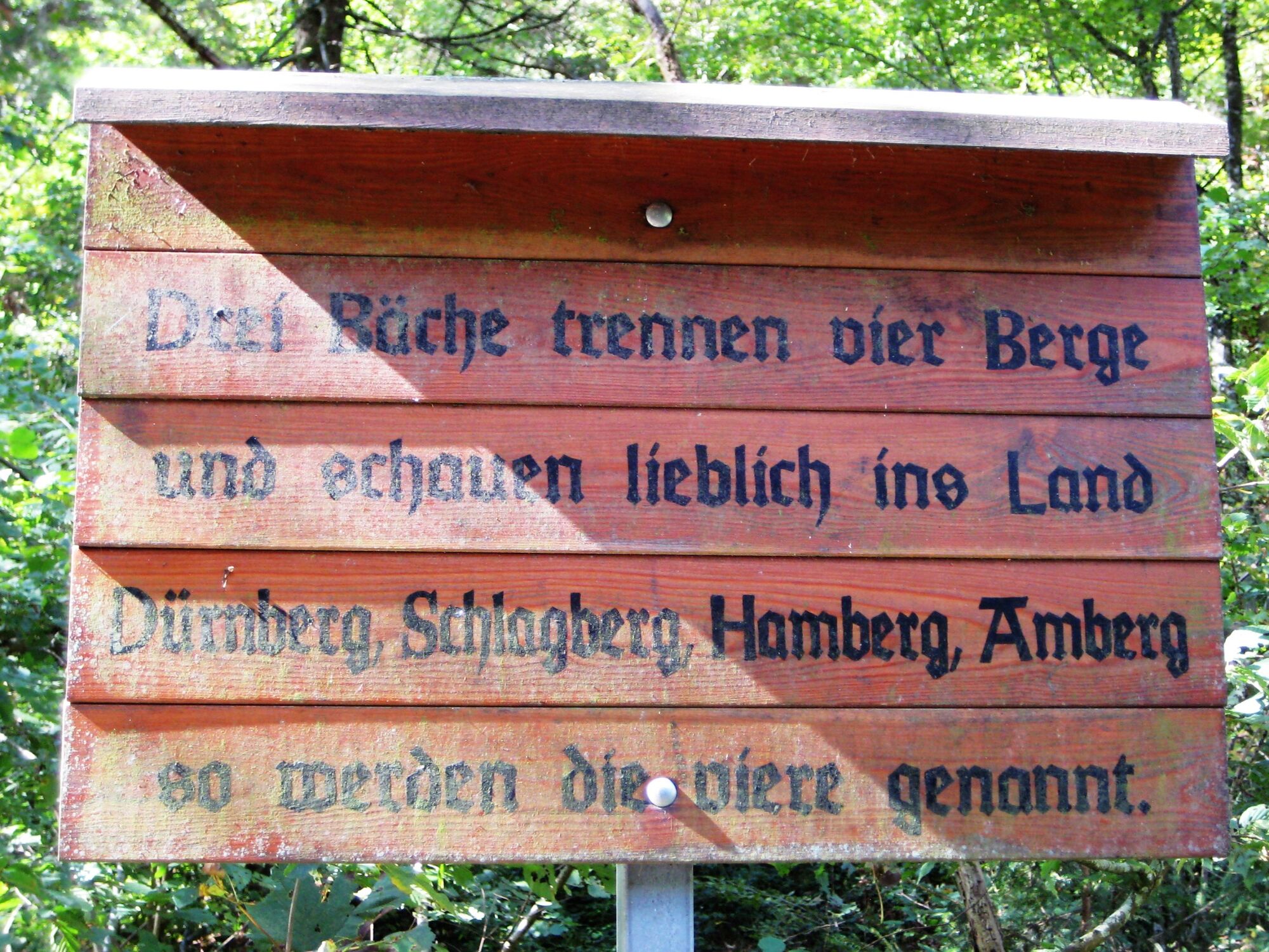
Kalvarienbergkirche - Atzesberger Kapelle - Koglerau - Vier Berge Grenze - Brotwöger Kapelle
- Reitti
-
GramastettenSchlagberg6,5 kmKöglerhof8,1 kmKoglerauer Spitz (685 m)8,8 kmDonaublick8,9 kmAmberg12,1 kmGramastetten15,4 km
- Paras kausi
-
tammihelmimaalishuhtitoukokesäheinäelosyyslokamarrasjoulu
- Korkein kohta
- 678 m
- Kohde
-
Parkplatz gegenüber Schulzentrum Gramastetten
- Korkeusprofiili
-


- Kirjoittaja
-
Kiertue Gramastetten: 3 Bäche - 4 Berge-Tour käyttää outdooractive.com toimitettu.
GPS Downloads


Yleistä tietoa
Virvokepysäkki
Kulttuuri/Historiallinen
Lisää retkiä alueilla
-
Mühlviertel
1784
-
Linz & Region Linz
847
-
Gramastetten
349