© WGD Donau Oberösterreich Tourismus GmbH/Andreas Kranzmayr - Andreas Kranzmayr
© WGD Donau Oberösterreich Tourismus GmbH/Hochhauser - Hochhauser
© WGD Donau Oberösterreich Tourismus GmbH / Michael Zobl - Michael Zobl


- Lyhyt kuvaus
-
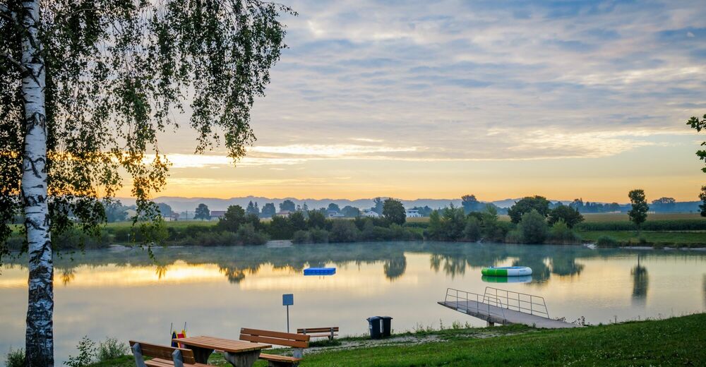
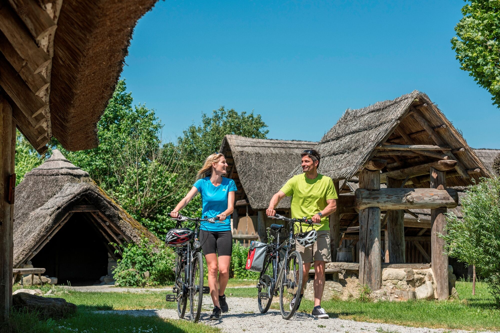
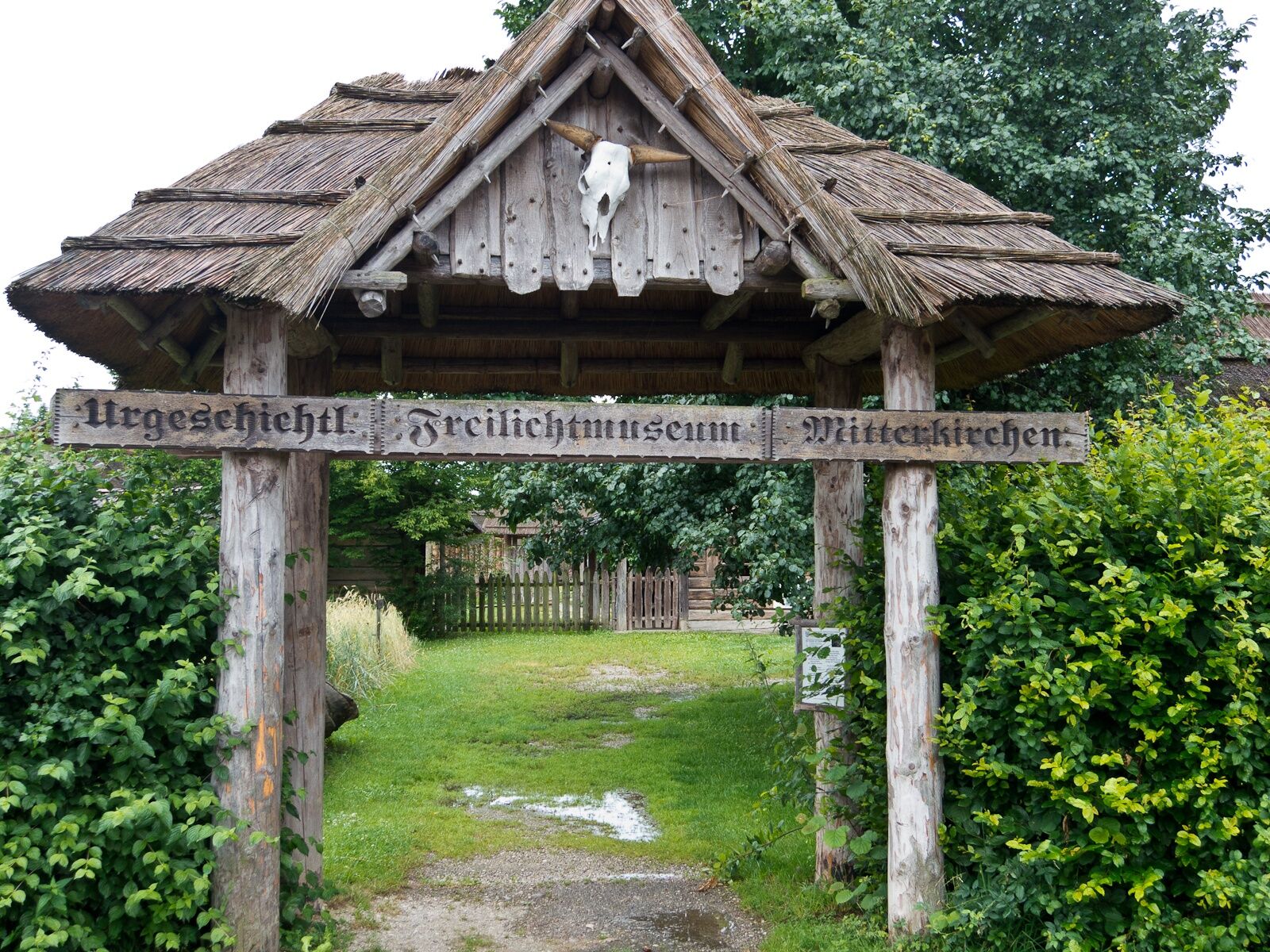
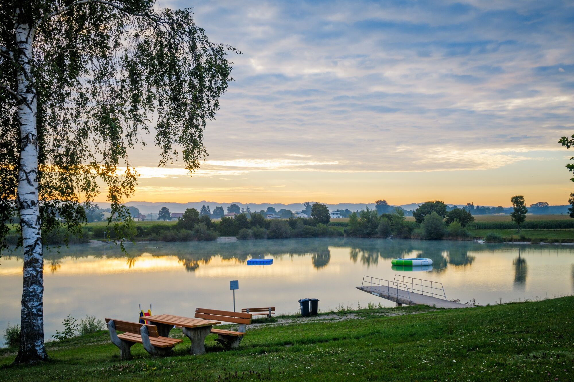
Hütting – bathing lake - In der Haid - Wagra - Mitterkirchen
Enjoy nature, learn about the locals and their fear of the devil, as legend has it. The circuit leads past a chapel to the 500-year-old oak along from Mühlviertel square-shaped farmsteads to the rest area at the Hoser-Bridge along Naarn River to the parish church at the church square.
- Vaikeus
-
helppo
- Arviointi
-
- Reitti
-
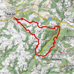
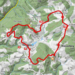
Mitterkirchen im MachlandHeinz Lettner-Siedlung0,5 kmGang3,8 kmWeisching4,5 kmWeisching Nord5,0 kmLangacker5,7 kmIn der Haid8,8 kmWagra11,2 kmMitterkirchen im Machland12,0 kmGasthof Haberl12,2 kmHeinz Lettner-Siedlung12,3 kmGasthaus Häuserer12,3 km
- Paras kausi
-
tammihelmimaalishuhtitoukokesäheinäelosyyslokamarrasjoulu
- Korkein kohta
- 239 m
- Kohde
-
Local square Mitterkirchen
- Korkeusprofiili
-

- Kirjoittaja
-
Kiertue Mitterkirchen: Teufelsweg Trail (Devil’s Trail) käyttää outdooractive.com toimitettu.
GPS Downloads


Yleistä tietoa
Virvokepysäkki
Lisää retkiä alueilla
-
Mühlviertel
1784
-
Moststraße
754
-
Mitterkirchen
116