Talvi
Kesä
Sää
Webbikamerat
Majoitukset
Retket
Hakuhistoria
Hakuehdotukset
Tuloksia ei löytynyt
Etsi
Retket
Etusivu
Kesä Österreich
Ylä-Itävalta
Retket
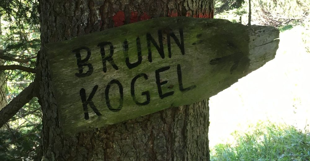
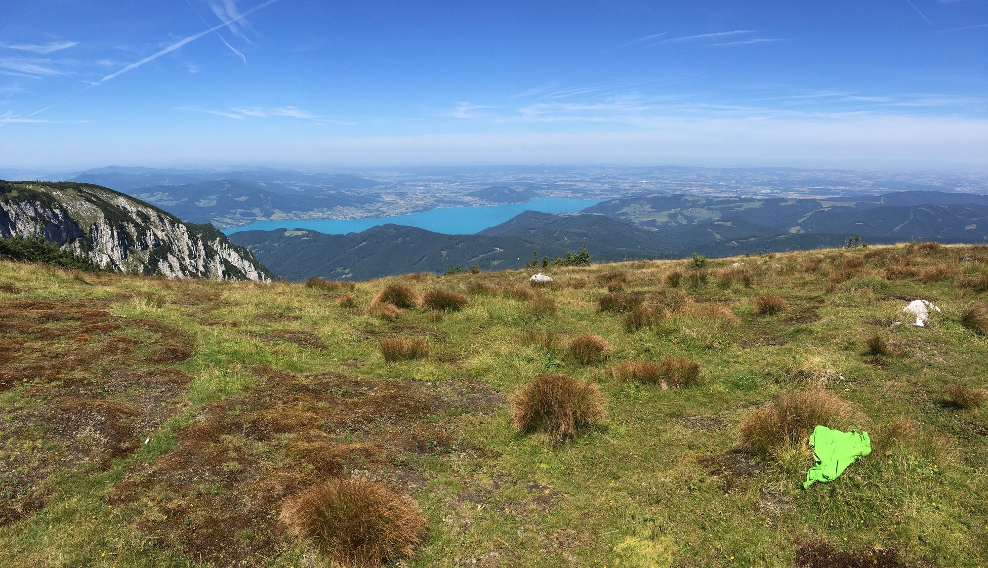
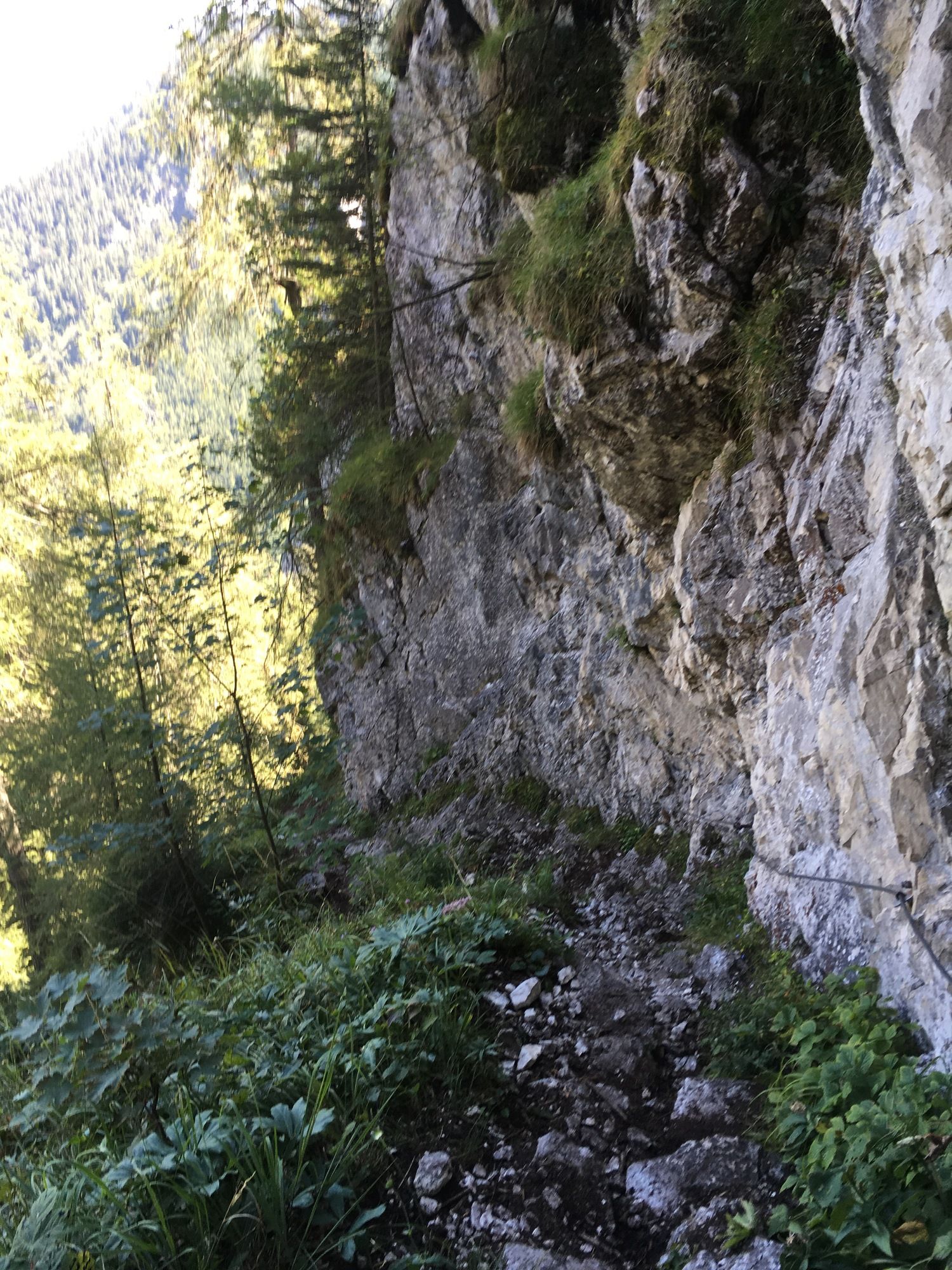
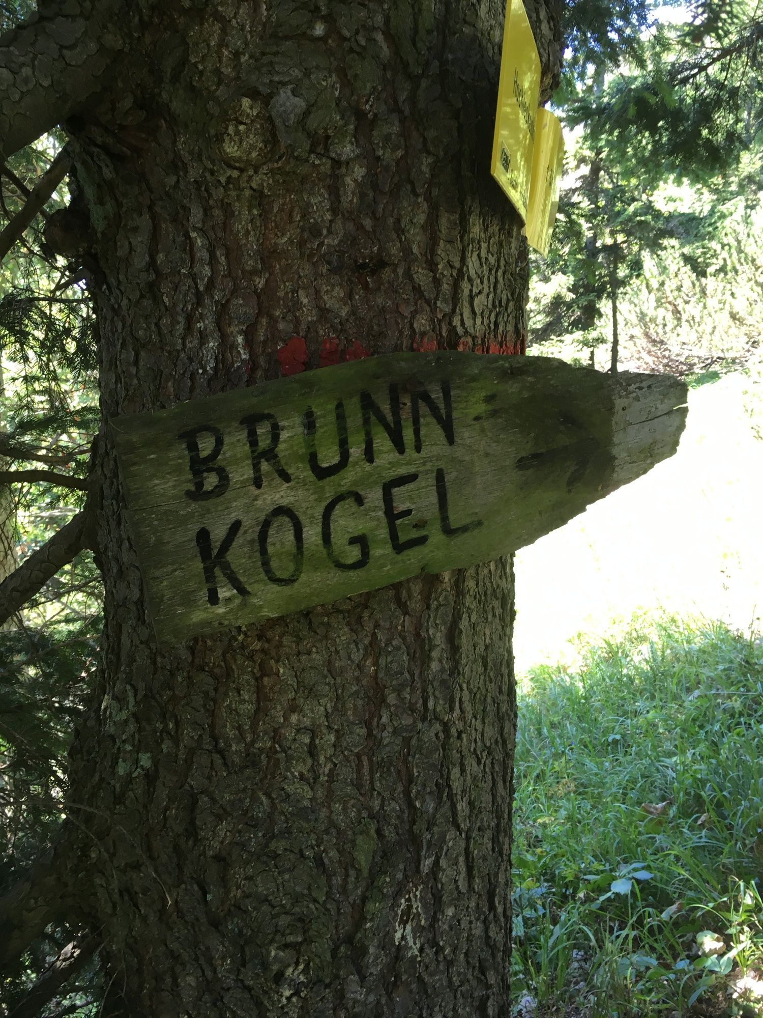
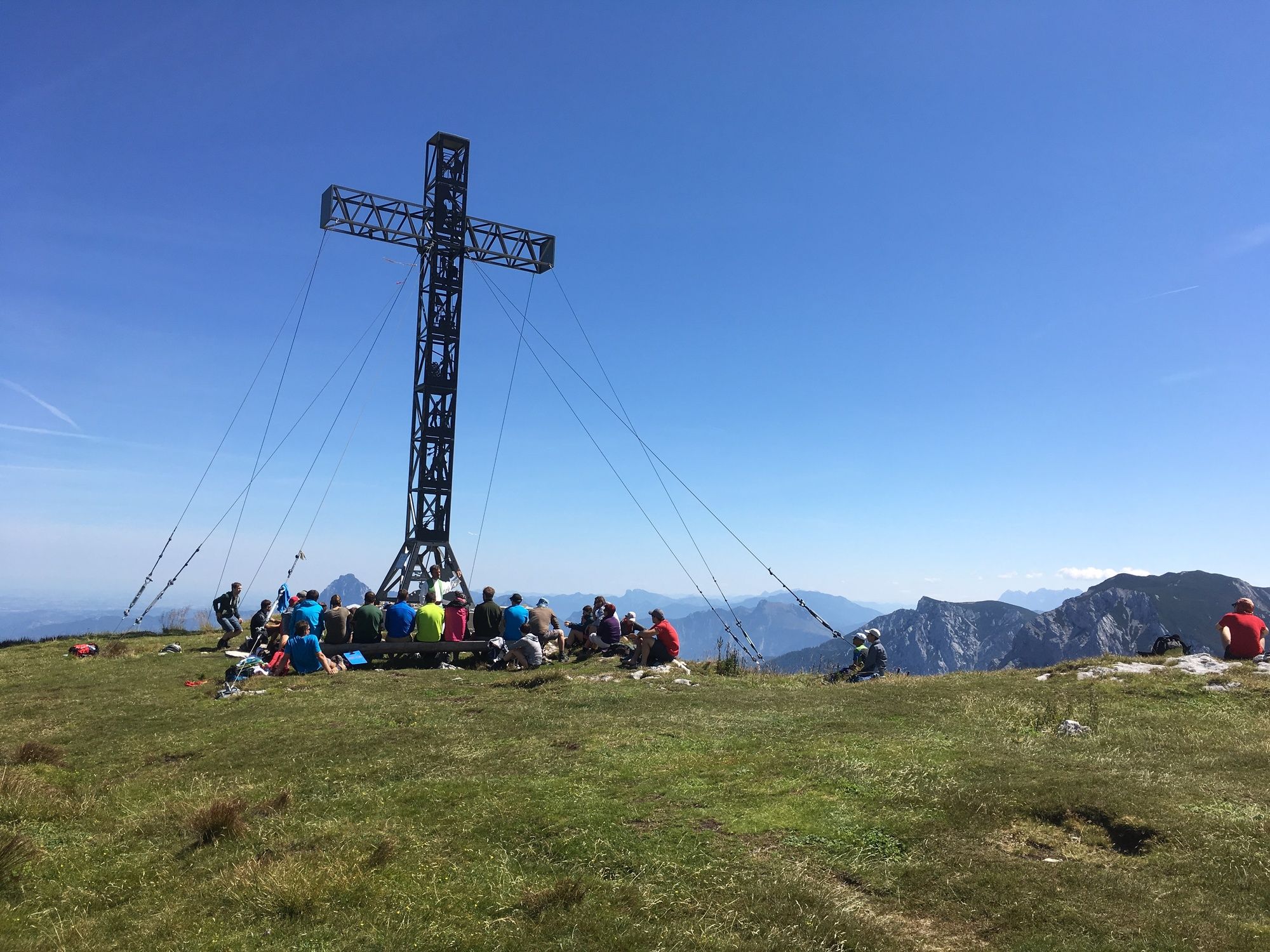
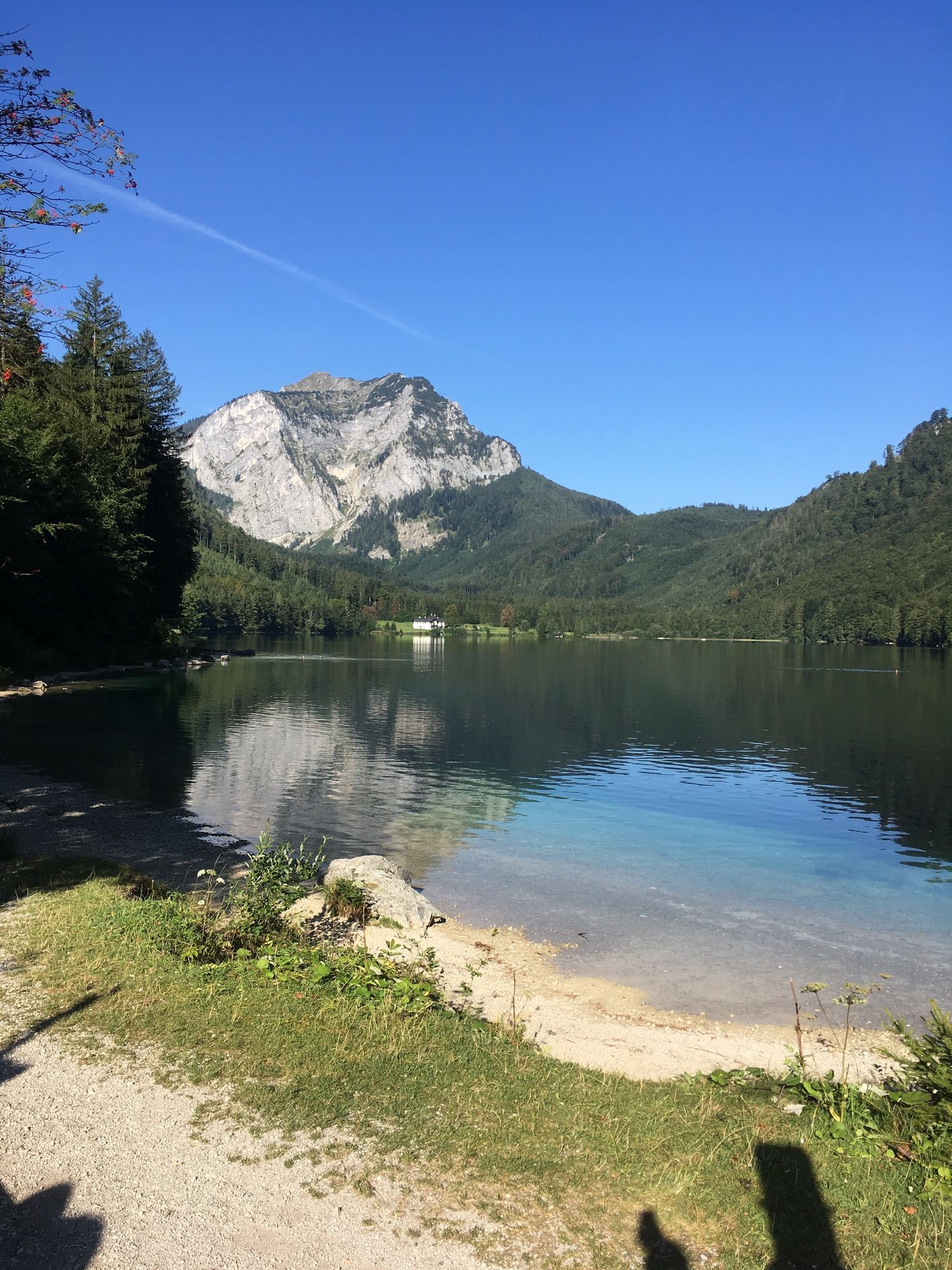
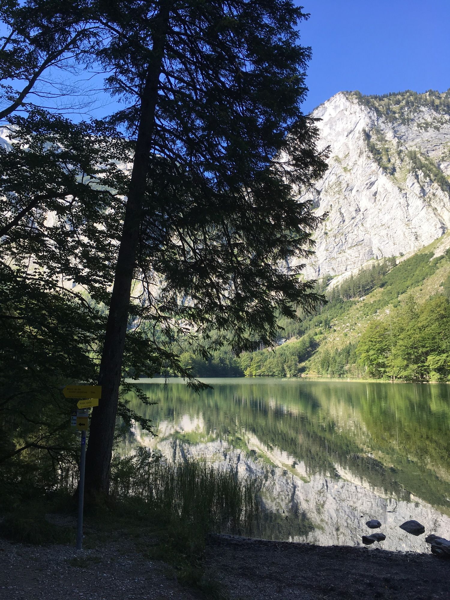
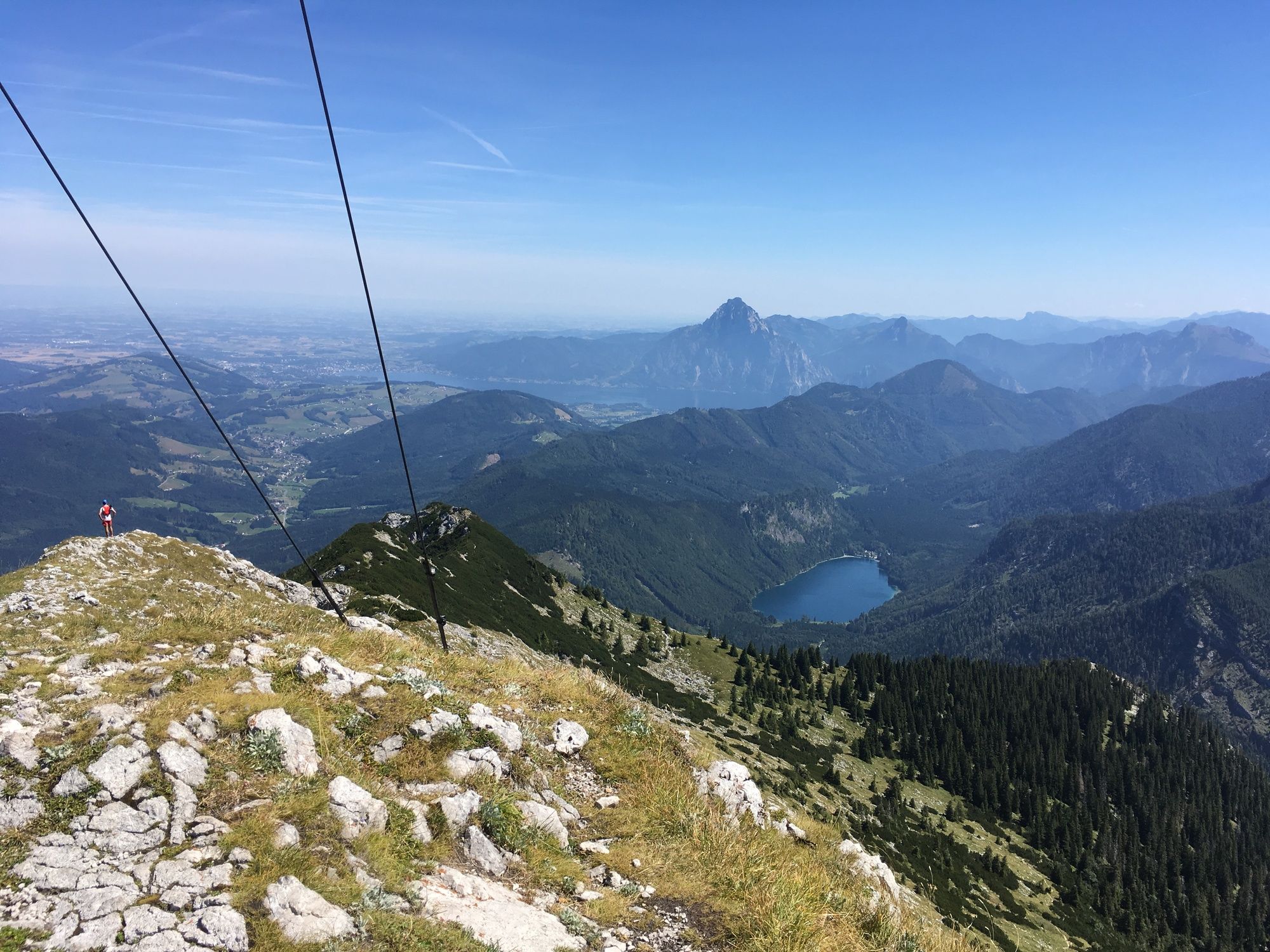
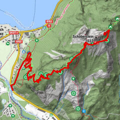
+++ Brunnkogel Schaflucke, Oberösterreich/Österreich
Alueet
Sää
Webbikamerat
Retket
Highlights
Uimajärvet
Majoitukset
Tarjoukset
Urheilutoimittaja
Tapahtumat
Hiihtoalueet
Hiihto
Lumipuistot
+++ Brunnkogel Schaflucke, Oberösterreich/Österreich
Kirjanmerkki
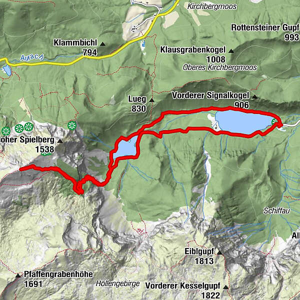
Kartta
näytä
piilota
Tulosta
Retkitiedot
14,16
km
664 - 1.677
m
Distanz
992
hm
996
hm
Nousu
06:15
h
Kesto
Christian Preuner
laadittu am 12.08.2018
10 243
Puhelut
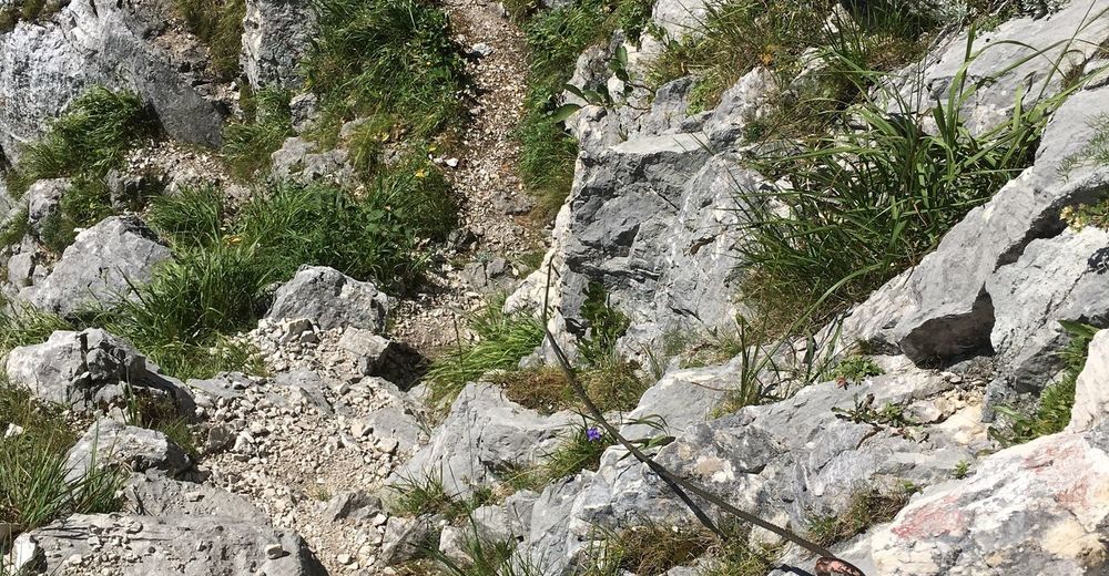
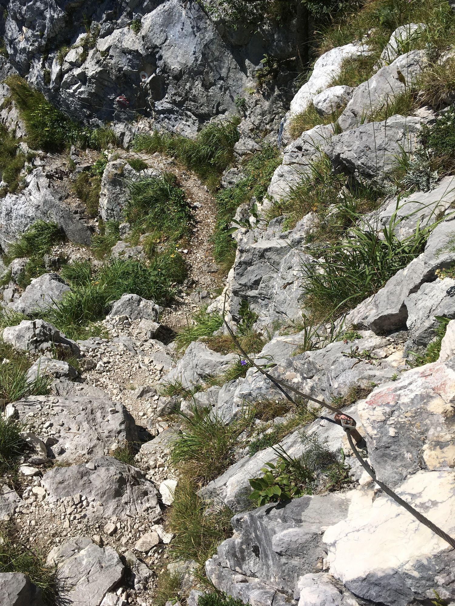
Vaikeus
vaikea
Arviointi
Tekniikka
Kunto
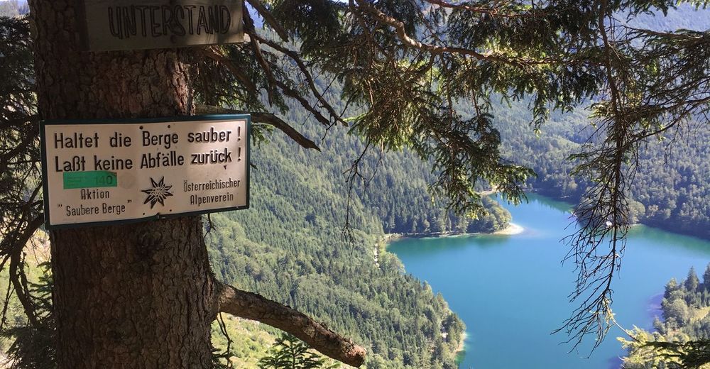
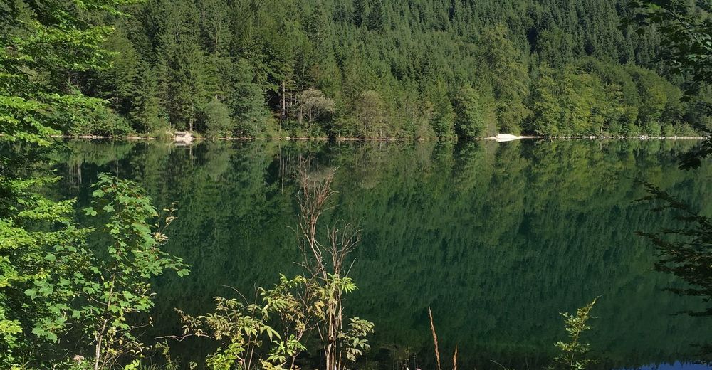
Maisema
Elämys
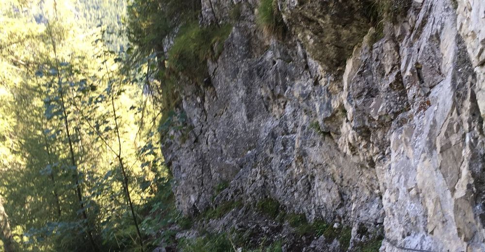
Reitti
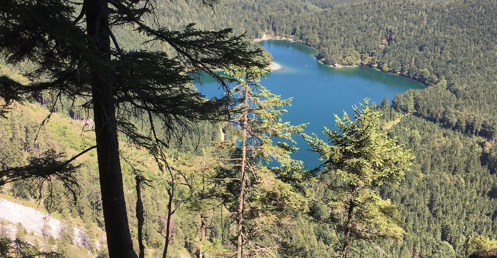
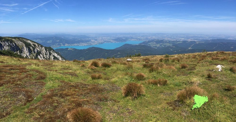
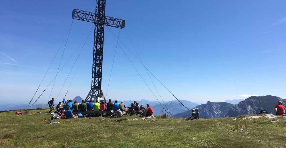
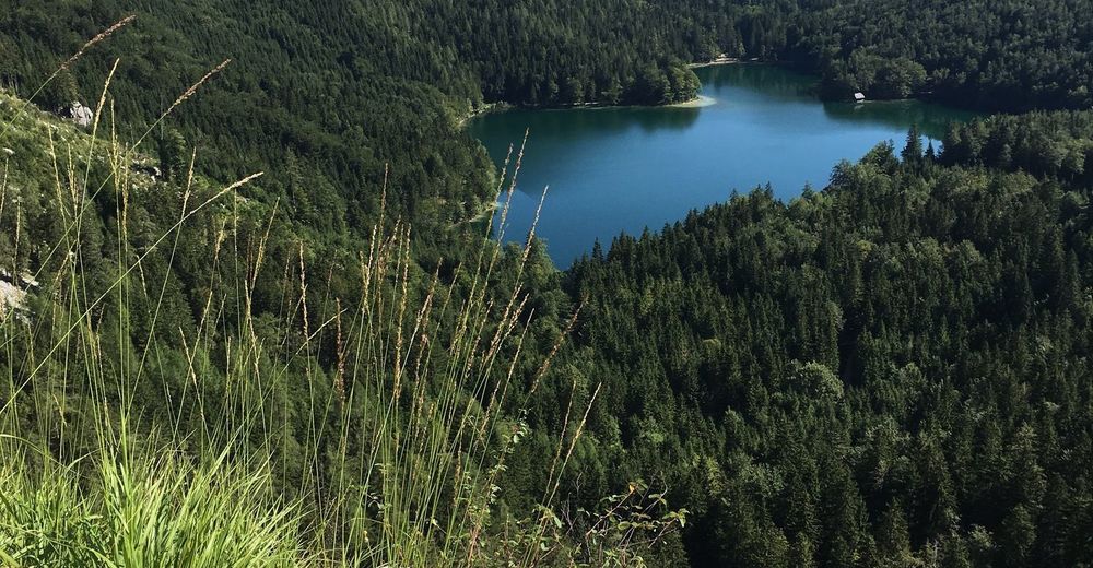
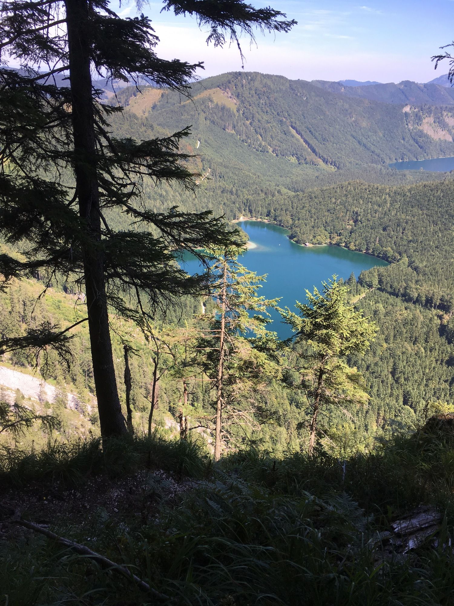
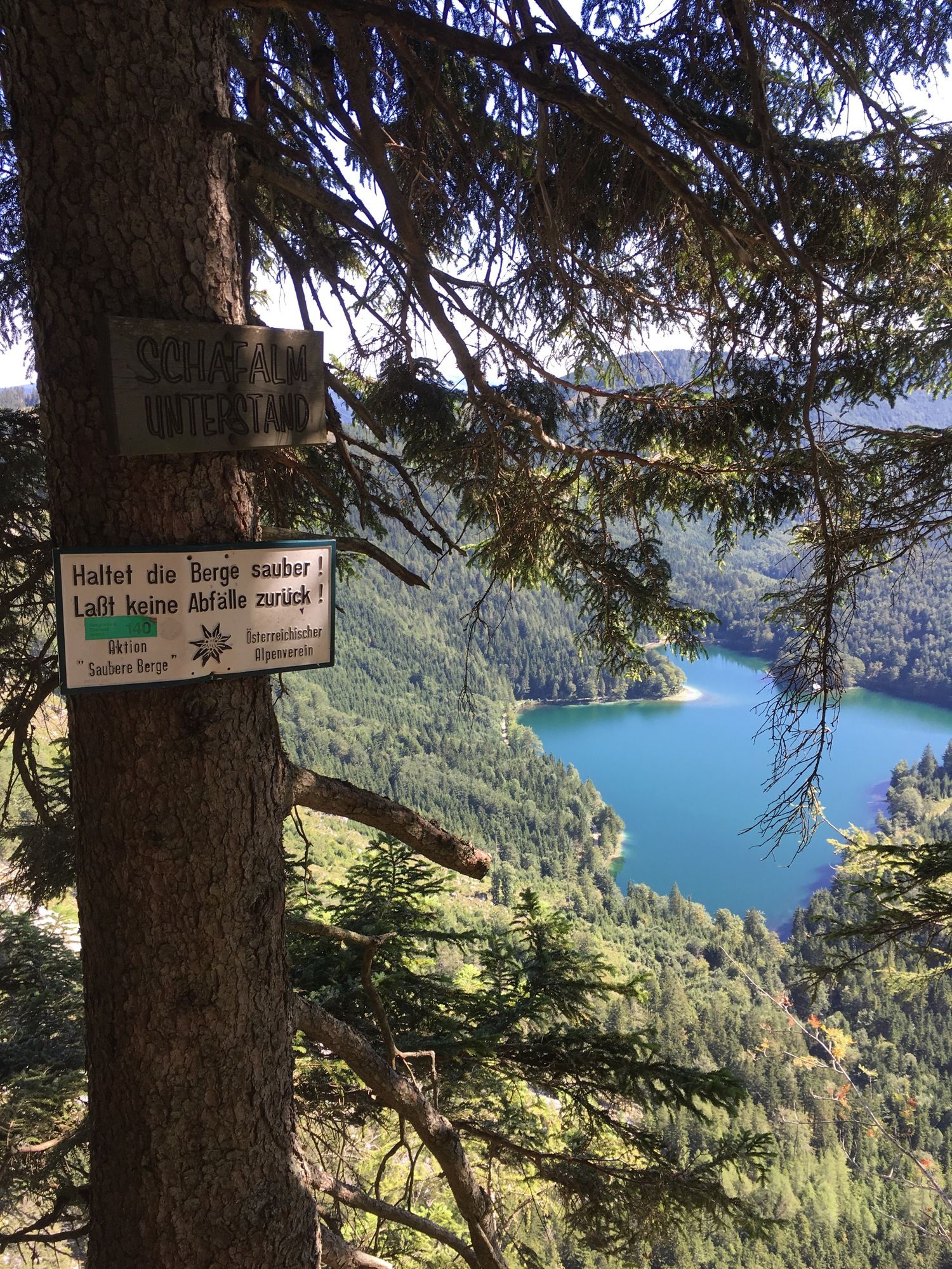
Schaflucke
cave entrance
4,9 km
Brunnkogel
(1.708 m)
peak
6,9 km
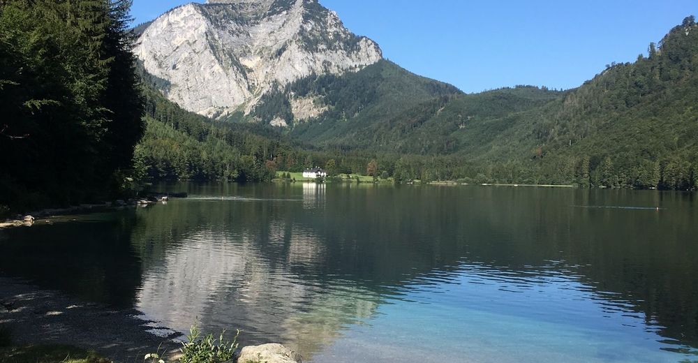
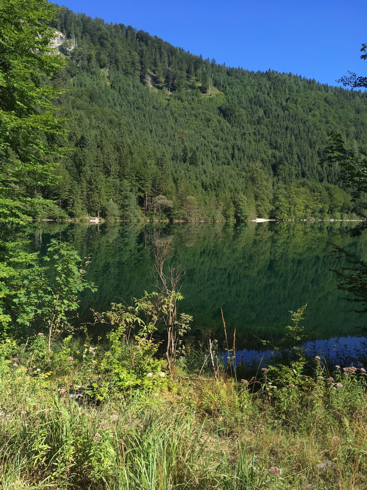
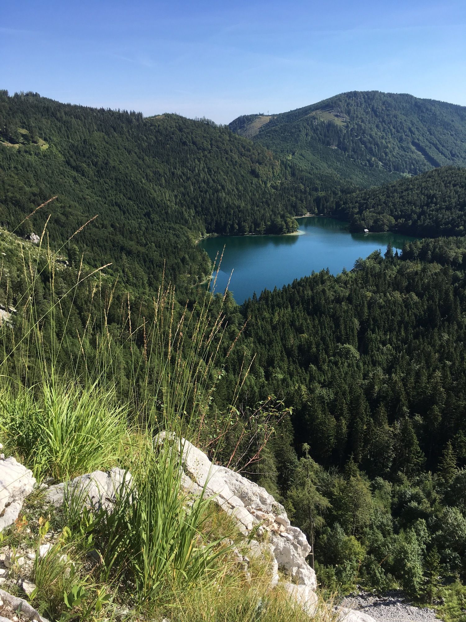
Restaurant & Bar Langbathsee
restaurant
13,9 km
Korkein kohta
1.677 m
Kirjoita arvostelu
Yleinen luokitus
5
0
%
4
0
%
3
0
%
2
0
%
1
0
%
Arviot
(0)
0 Kommentit
Kirjoita arvostelu
Virhe
On tapahtunut virhe. Yritä uudelleen.
Kiitos arvostelusta
Luokitus poistettiin
Kiertueen raportti
GPS Downloads
GPX
GPS Exchange Format (XML)
KML
Google Earth, Google Maps
QR-latauskoodit matkapuhelimiin
+++ Brunnkogel Schaflucke, Oberösterreich/Österreich
QR-koodit - Tour lataa matkapuhelimiin
GPX
KML
Lisää retkiä alueilla
Salzkammergut Oberösterreich
3081
Attersee - Attergau
1373
Ebensee - Feuerkogel
410
Suosittuja retkiä alueella
Schoberstein
tapa
3,21
km |
375
hm |
03:30
h
Vormauerstein-Runde
tapa
11,87
km |
791
hm |
03:26
h
/\ Traunstein über Naturfreundesteig und Mair Alm
vaikea
14,09
km |
1271
hm |
05:12
h
Schafberg von Sankt Wolfgang über die Dorneralm und Schafbergalpe a...
tapa
7,72
km |
1211
hm |
02:32
h
Merkintöjä ei löytynyt.
Haku ei ole tällä hetkellä käytettävissä.
Tarkenna hakua.
Paikalliset hakutulokset
(<= 25km)
Lisää hakutuloksia
(> 25km)
%count% Hakutulokset
%name%
%type%
%elevation%
%population%
%lpButton%