Retkitiedot
3,29km
503
- 777m
287hm
287hm
02:00h
- Lyhyt kuvaus
-
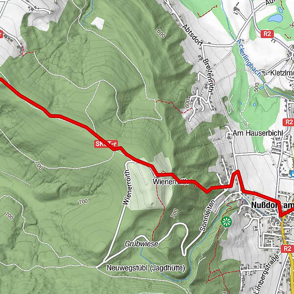
Ausgangspunkt ist das Gemeindeamt/Infobüro Nußdorf am Attersee
- Vaikeus
-
tapa
- Arviointi
-
- Lähtöpiste
-
Gemeindeamt/Infobüro Nußdorf am Attersee
- Reitti
-
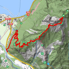
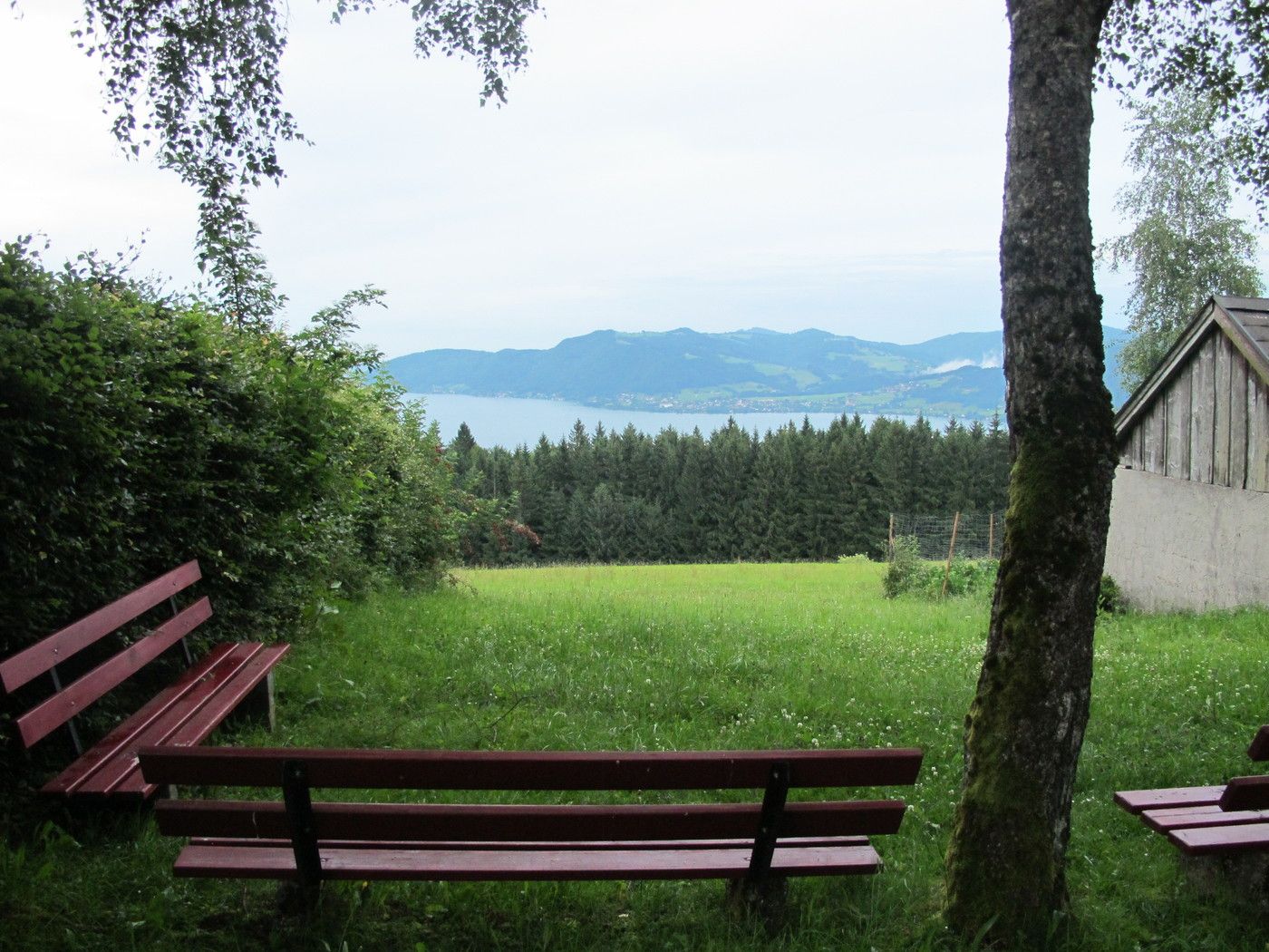
Nußdorf am Attersee0,0 kmKronberg (789 m)3,0 km
- Paras kausi
-
tammihelmimaalishuhtitoukokesäheinäelosyyslokamarrasjoulu
- Korkein kohta
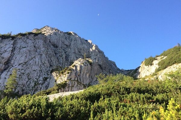
- 777 m
- Kohde
-
Kronberg
- Lepo/Retriitti
-
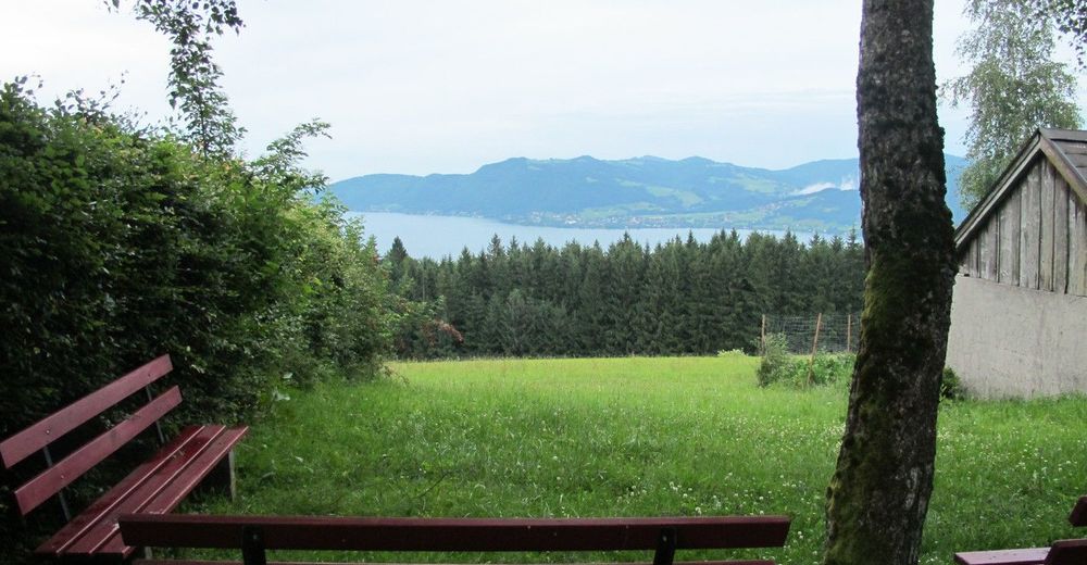
Jausenstation in der Nähe der Kronberg-Kapelle
- Infopuhelin
-
+43 (0)7666 / 7719-40
- Link
- https://attersee-attergau.salzkammergut.at/oest...
- Lähde
- Tourismusverband Attersee-Attergau
GPS Downloads
Polun olosuhteet
Asfaltti
Sora
Niitty
Metsä
Kallio
Altistettu
Lisää retkiä alueilla