

© Nationalpark Kalkalpen/Sieghartsleitner - <a href="http://www.kalkalpen.at">Nationalpark Kalkalpen</a>

© Nationalpark Kalkalpen - <a href="http://www.kalkalpen.at">Nationalpark Kalkalpen</a>

© Nationalpark Kalkalpen - <a href="http://www.kalkalpen.at">Nationalpark Kalkalpen</a>

© Nationalpark Kalkalpen - <a href="http://www.kalkalpen.at">Nationalpark Kalkalpen</a>

© Nationalpark Kalkalpen - <a href="http://www.kalkalpen.at">Nationalpark Kalkalpen</a>

© Nationalpark Kalkalpen/Zak - <a href="http://www.kalkalpen.at">Nationalpark Kalkalpen</a>

© Nationalpark Kalkalpen - <a href="http://www.kalkalpen.at">Nationalpark Kalkalpen</a>

© Nationalpark Kalkalpen/Sieghartsleitner - <a href="http://www.kalkalpen.at">Nationalpark Kalkalpen</a>

- Lyhyt kuvaus
-
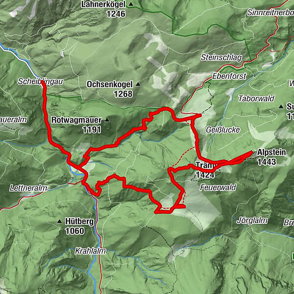
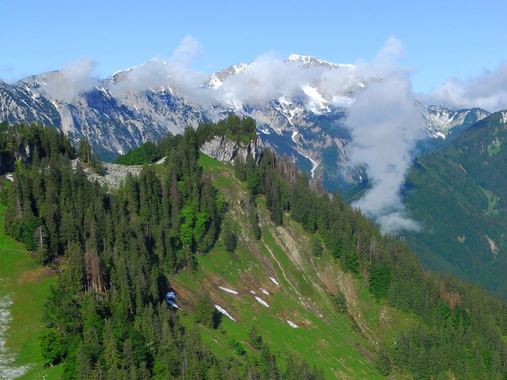
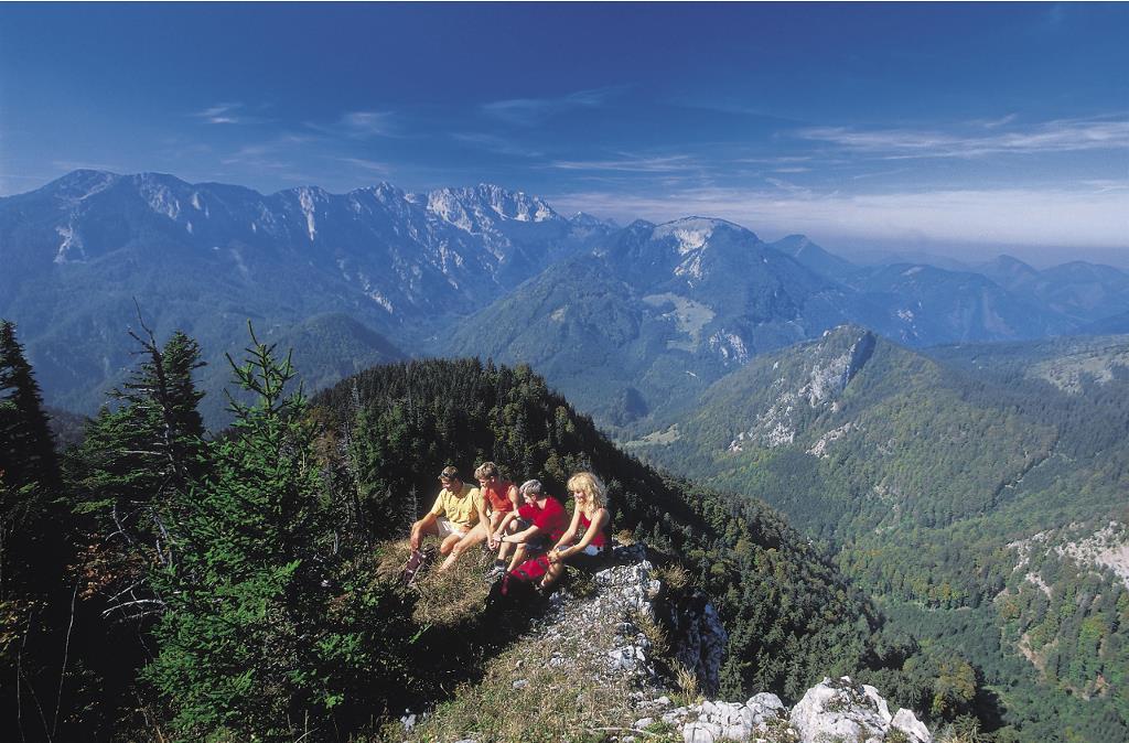
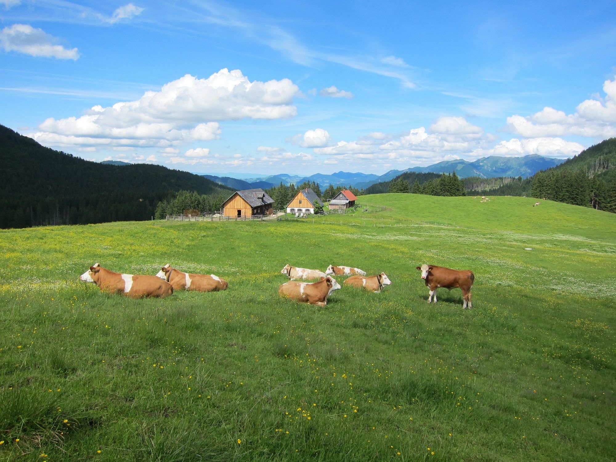
Beautiful alpine hike from Bodinggraben to Schaumbergalm and via the two summits Trämpl and Alpstein to the Ebenforstalm. From there you go back to the Bodenggraben, where the Jagahäusl invites you to stop.
- Vaikeus
-
tapa
- Arviointi
-
- Reitti
-
Jagahäusl1,9 kmSchaumbergalm5,4 kmTrämpl (1.424 m)6,9 kmAlpstein (1.443 m)8,2 kmEbenforstalm10,1 kmJagahäusl13,5 km
- Paras kausi
-
tammihelmimaalishuhtitoukokesäheinäelosyyslokamarrasjoulu
- Korkein kohta
- 1.395 m
- Kohde
-
Bodinggraben, Molln, Oberösterreich (Parkplatz Scheiblingau oder Jagahäusl)
- Korkeusprofiili
-


- Kirjoittaja
-
Kiertue Hiking path to the Ebenforstalm, Trämpl & Alpstein, käyttää outdooractive.com toimitettu.
GPS Downloads


Yleistä tietoa
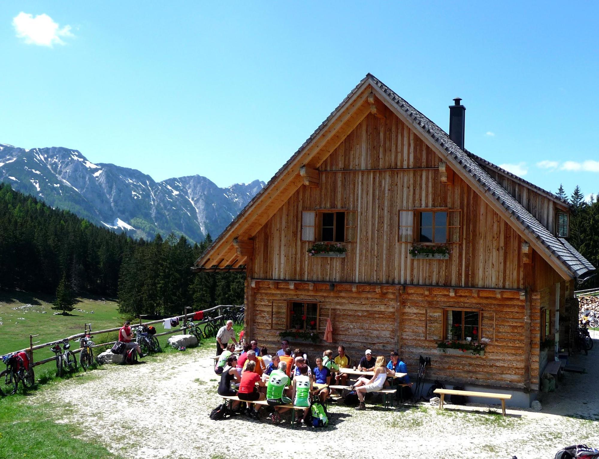
Virvokepysäkki
Flora
Lisää retkiä alueilla


