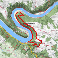

Retkitiedot
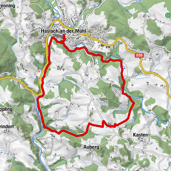
11,2km
490
- 629m
186hm
178hm
03:30h
- Lyhyt kuvaus
-
Ideal für Familien und Senjoren
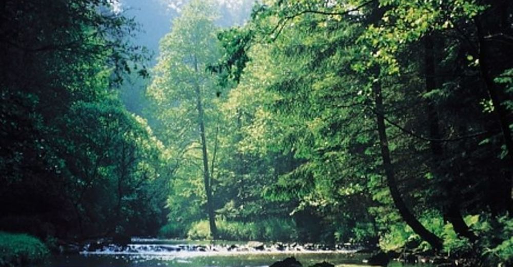
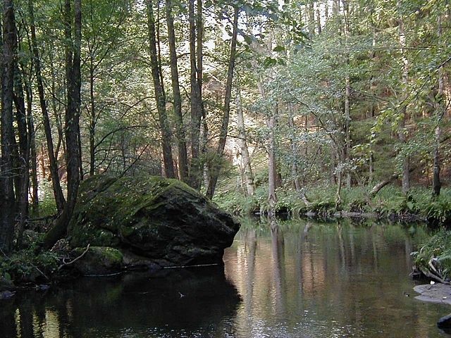
Großteils Waldwege - Vaikeus
-
tapa
- Arviointi
-
- Lähtöpiste
-
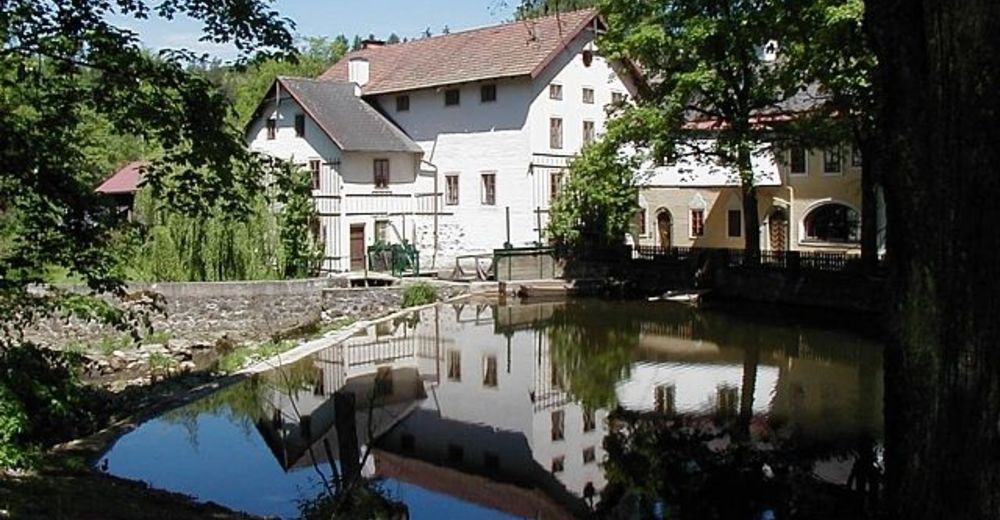
Der Ort Haslach oder unser Landgasthof.
- Reitti
-
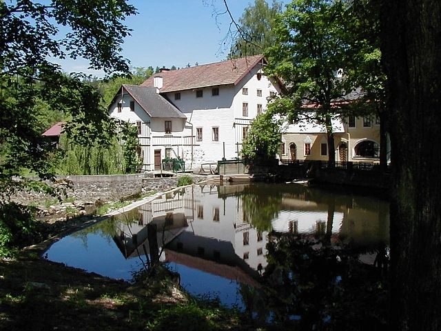
Haslach an der Mühl0,0 kmPfarrkirche Haslach, St. Nikolaus0,1 kmNeudorf5,8 kmLandgasthof Diendorfer5,9 kmNotarquelle10,3 kmPfarrkirche Haslach, St. Nikolaus11,0 kmHaslach an der Mühl11,1 km
- Paras kausi
-
tammihelmimaalishuhtitoukokesäheinäelosyyslokamarrasjoulu
- Korkein kohta
- 629 m
- Lepo/Retriitti
-
Im Landgasthof Diendorfer
- Karttamateriaali
-
Wanderkarte Böhmerwald
GPS Downloads


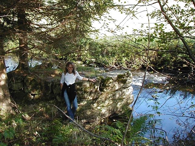
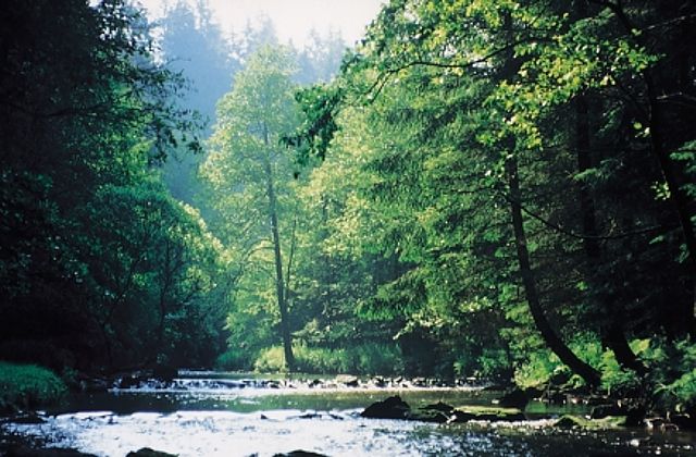
Polun olosuhteet
Asfaltti
Sora
Niitty
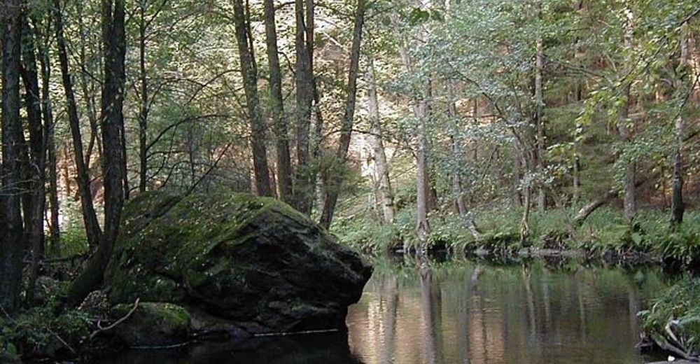
Metsä
Kallio
Altistettu
Lisää retkiä alueilla
-
Mühlviertel
1781
-
Mühlviertler Hochland
749
-
Haslach an der Mühl
199