© Ferienregion Dachstein Salzkammergut

© Michaela Schilcher

- Lyhyt kuvaus
-
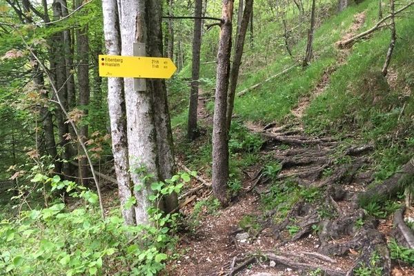
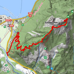
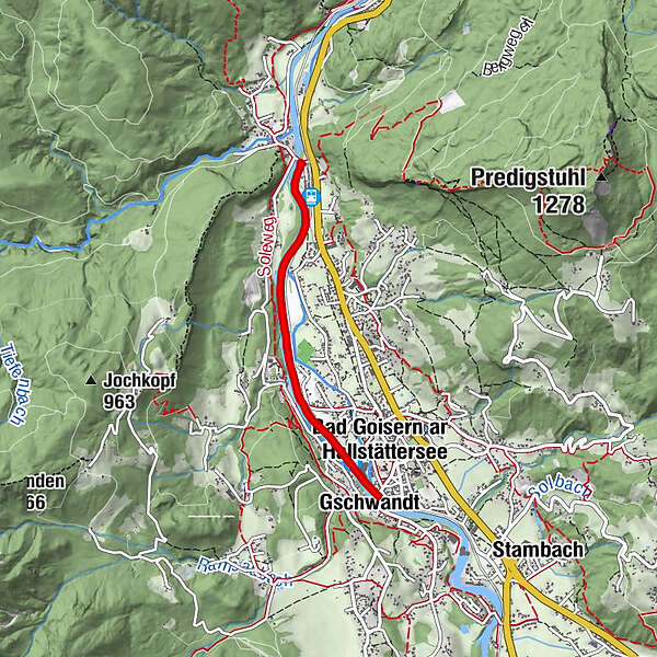
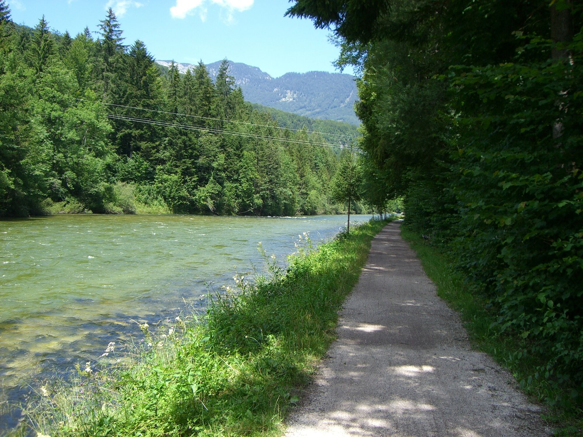
One of the most popular hiking and walking trails in Bad Goisern along the river Traun. Especially for families with children (the path is suitable for prams) an ideal hiking trail.
- Vaikeus
-
helppo
- Arviointi
-
- Reitti
-
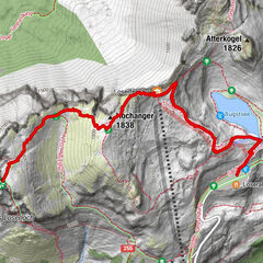
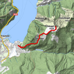
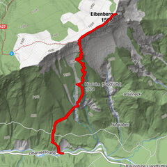
GschwandtBad Goisern0,2 kmBad Goisern am Hallstättersee0,3 km
- Paras kausi
-
tammihelmimaalishuhtitoukokesäheinäelosyyslokamarrasjoulu
- Korkein kohta
- 496 m
- Korkeusprofiili
-


- Kirjoittaja
-
Kiertue Traunreiter path käyttää outdooractive.com toimitettu.
GPS Downloads


Lisää retkiä alueilla
-
Salzkammergut Oberösterreich
3081
-
Dachstein Salzkammergut
1701
-
Bad Goisern
390