Retkitiedot
14,19km
609
- 719m
201hm
211hm
03:32h
- Lyhyt kuvaus
-
Für sportlich-aktive Wanderer
- Vaikeus
-
helppo
- Arviointi
-
- Lähtöpiste
-
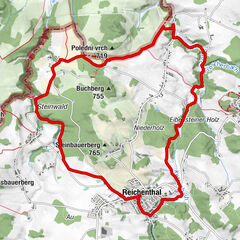
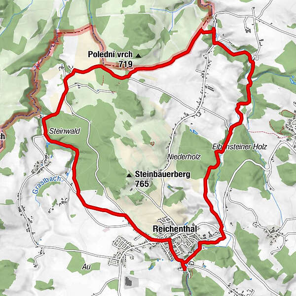
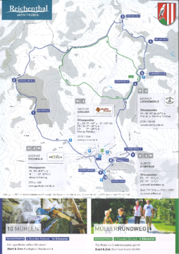
Marktplatz Reichenthal
- Reitti
-
ReichenthalAllhut4,6 kmLorenz Mühle9,9 kmNiederreichenthal12,1 kmHayrl13,1 kmGasthof Preinfalk14,1 kmReichenthal14,1 km
- Paras kausi
-
tammihelmimaalishuhtitoukokesäheinäelosyyslokamarrasjoulu
- Korkein kohta
- 719 m
- Kohde
-
Marktplatz Reichenthal
- Lepo/Retriitti
-
Gasthaus Lorenzmühle
- Infomateriaali
-
GPS Downloads
Polun olosuhteet
Asfaltti
Sora
Niitty
Metsä
Kallio
Altistettu
Lisää retkiä alueilla
-
Mühlviertel
1782
-
Mühlviertler Sterngartl
1064
-
Reichenthal
250