
Retkitiedot
5,1km
458
- 1.002m
561hm
536hm
03:07h

- Lyhyt kuvaus
-
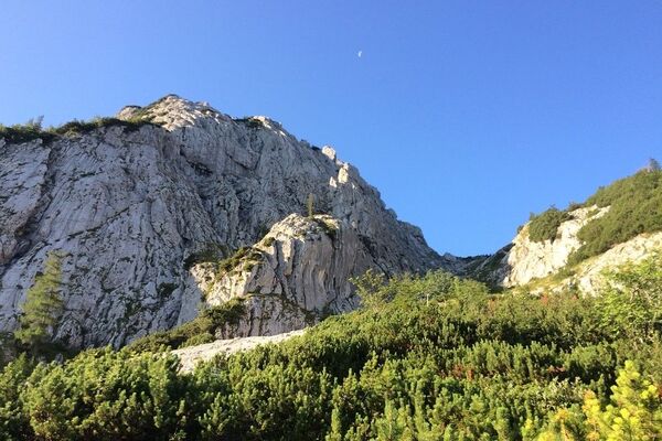
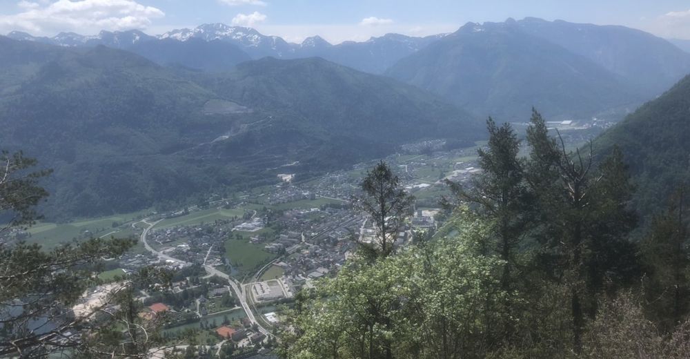
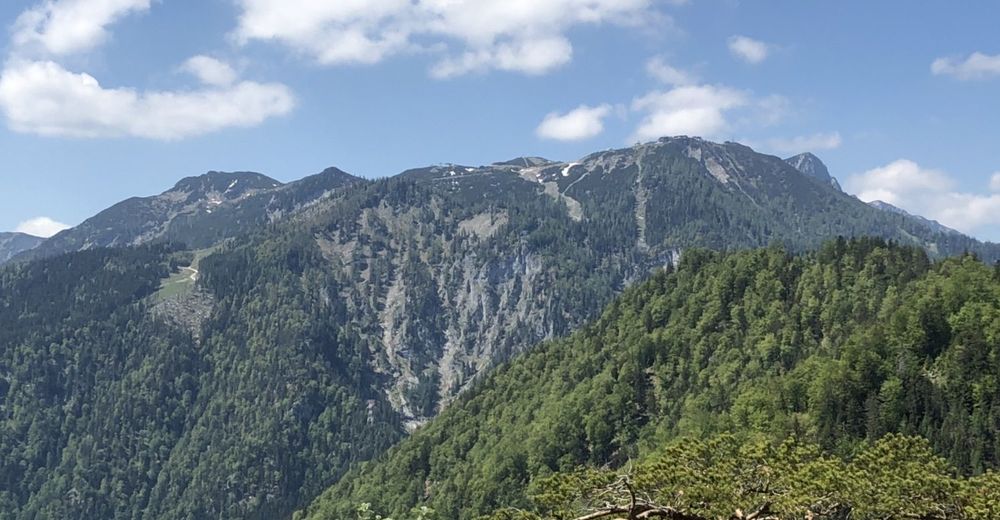
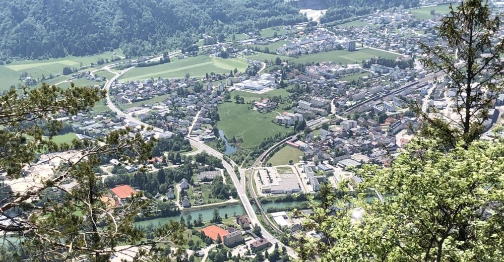
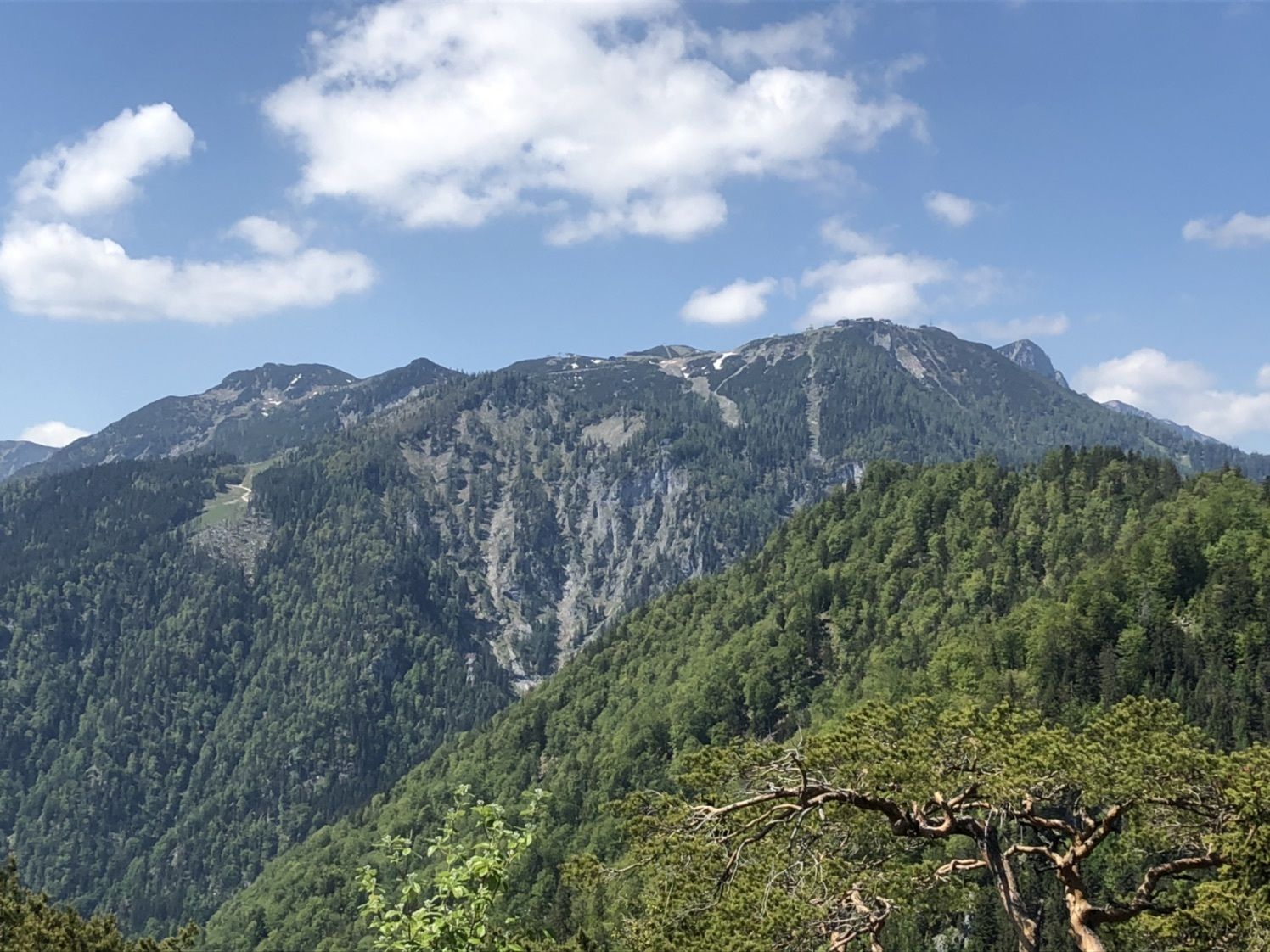
Kurze Bergtour von Ebensee im Teilweise steilem Gelände.
- Vaikeus
-
tapa
- Arviointi
-
- Reitti
-
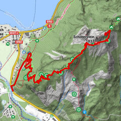
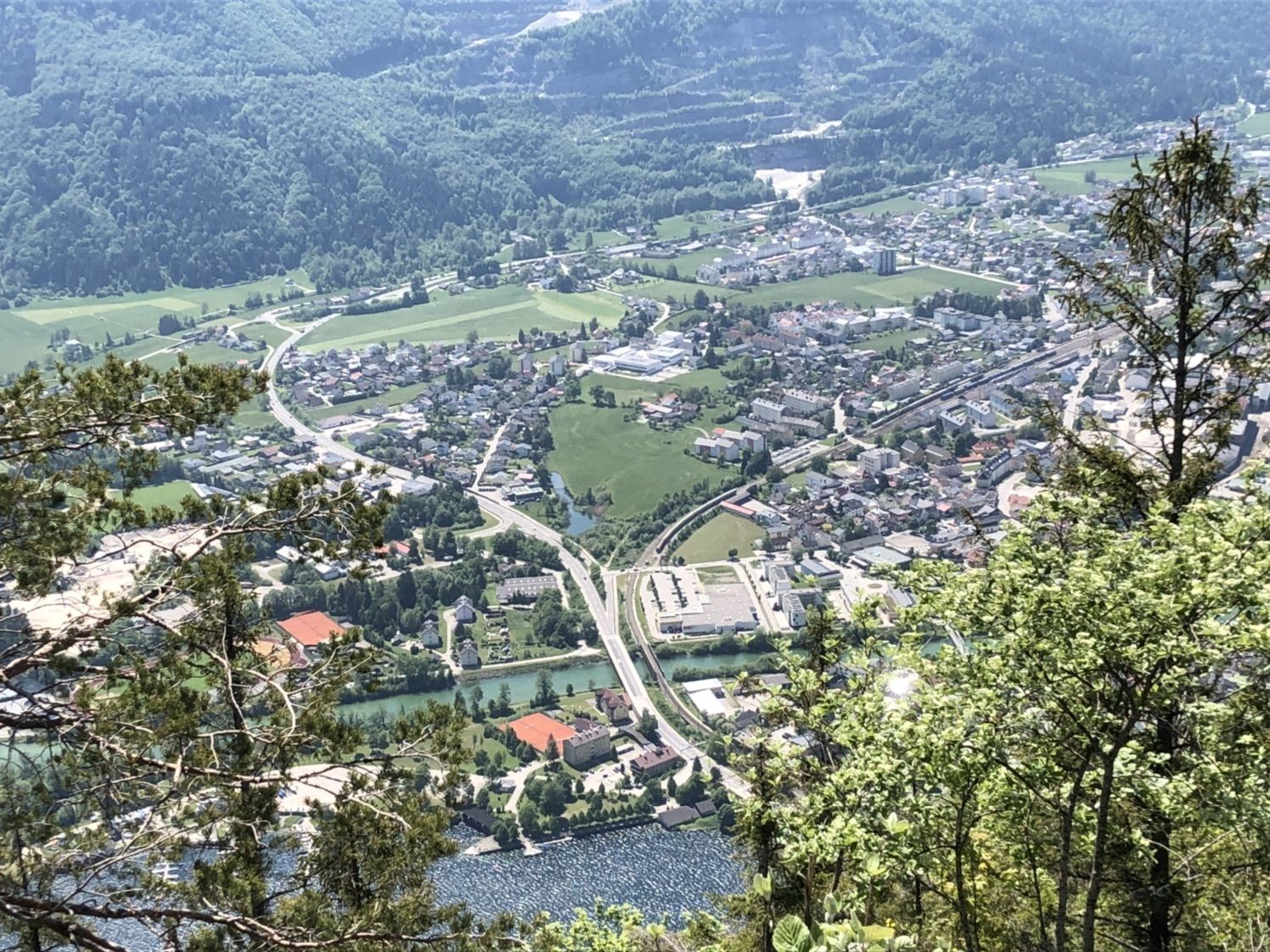
KohlstattOberlangbath0,4 kmWieselloch0,5 kmUnterlangbath0,6 kmEbensee (443 m)0,9 kmGroßer Sonnstein (1.037 m)2,5 kmWieselloch4,5 kmOberlangbath4,6 kmKohlstatt5,1 km
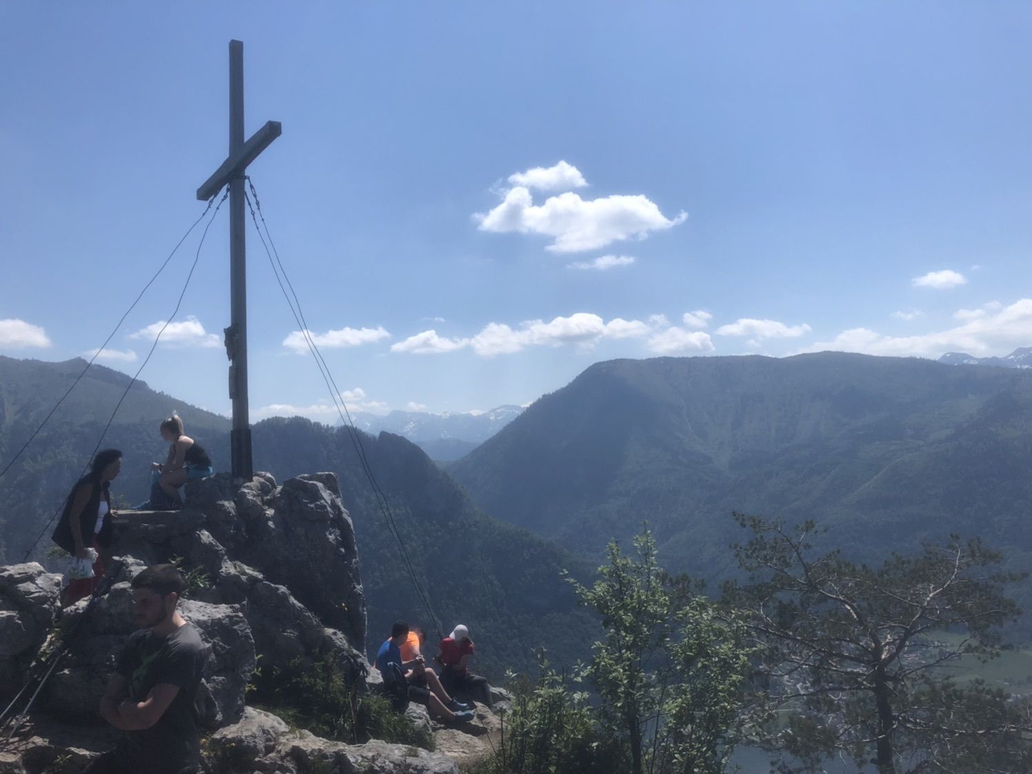
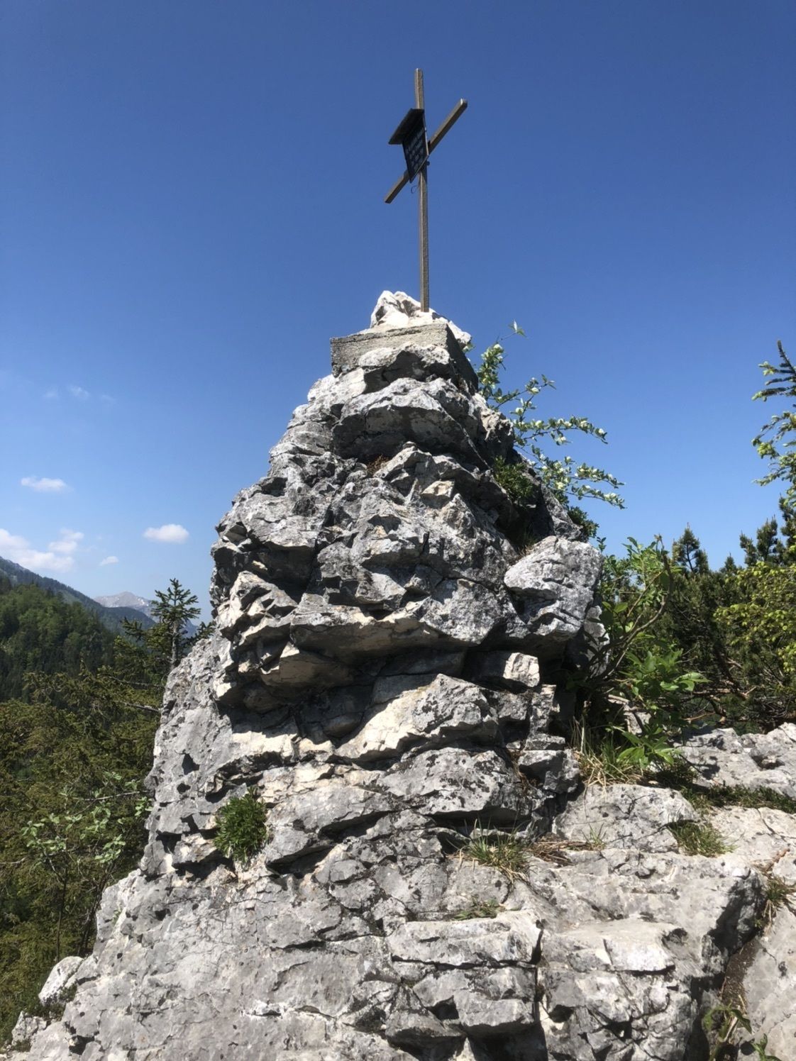
- Korkein kohta
- 1.002 m

GPS Downloads


Lisää retkiä alueilla
-
Salzkammergut Oberösterreich
3081
-
Traunsee-Almtal
910
-
Traunkirchen
334