Retkitiedot
12,53km
342
- 629m
383hm
391hm
03:11h
- Lyhyt kuvaus
-
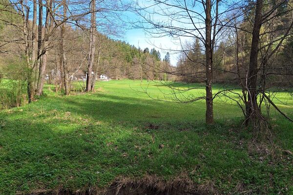
Wandern entlang der Naarn in und um Windhaag
- Vaikeus
-
tapa
- Arviointi
-
- Reitti
-
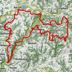
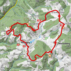
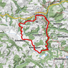
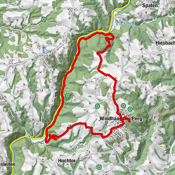
Pfarrkirche Windhaag0,1 kmWindhaag bei Perg0,1 kmKapelle0,3 kmAussichtsturm Burgruine Windhaag bei Perg0,5 kmBauernsteiner Kapelle2,0 kmAsching6,2 kmHoftaverne Holzer12,1 kmWindhaag bei Perg12,5 km
- Paras kausi
-
tammihelmimaalishuhtitoukokesäheinäelosyyslokamarrasjoulu
- Korkein kohta
- 629 m
- Lepo/Retriitti
- Lähde
- Burgruine Windhaag
GPS Downloads


Polun olosuhteet
Asfaltti
Sora
Niitty
Metsä
Kallio
Altistettu
Lisää retkiä alueilla
-
Mühlviertel
1781
-
Strudengau
799
-
Allerheiligen im Mühlkreis
225