

© Gemeinde Hinterstoder

© Gemeinde Hinterstoder

© Gemeinde Hinterstoder
Retkitiedot
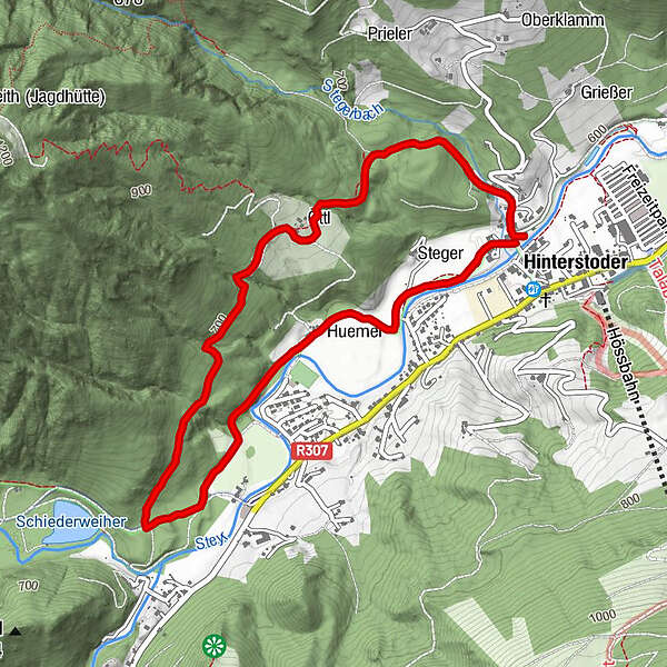
4,98km
588
- 703m
112hm
02:30h
- Vaikeus
-
helppo
- Arviointi
-
- Lähtöpiste
-
Ortszentrum Hinterstoder
- Reitti
-
HinterstoderHinterstoder4,9 km
- Paras kausi
-
tammihelmimaalishuhtitoukokesäheinäelosyyslokamarrasjoulu
- Korkein kohta
- 703 m
- Lepo/Retriitti
-
Sportbuffet, Pizzeria Mamamia, Café Annemarie, GH zur Post, Dorfstub´n, Café Gollner, Landgasthof Schmalzerhof
- Karttamateriaali
-
Wanderkarte Pyhrn-Priel erhältlich in allen Pyhrn-Priel Tourismusbüros!


GPS Downloads


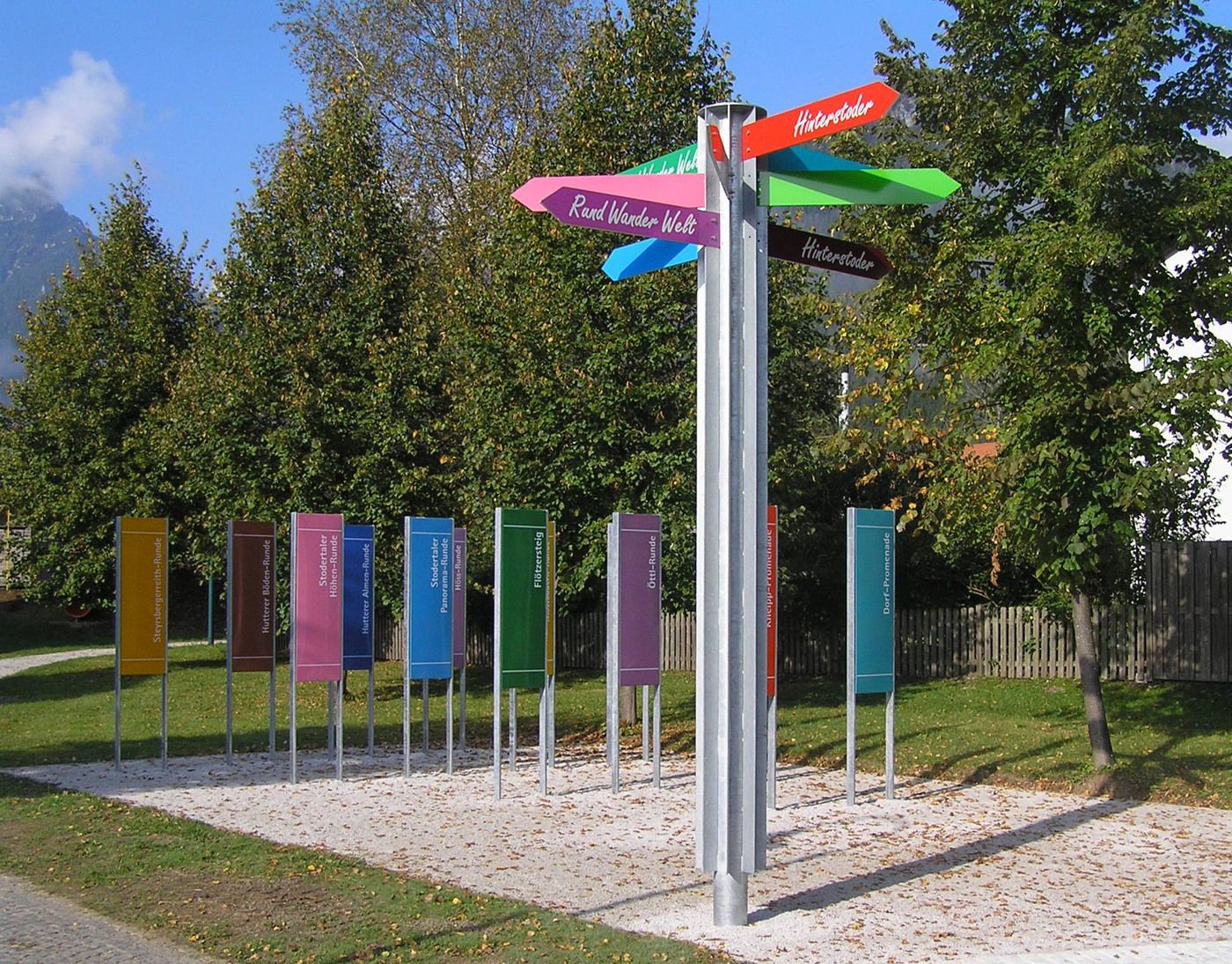
Lisää retkiä alueilla
-
Traunviertel
1940
-
Urlaubsregion Pyhrn - Priel
1440
-
Hinterstoder
395


