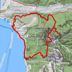


Retkitiedot
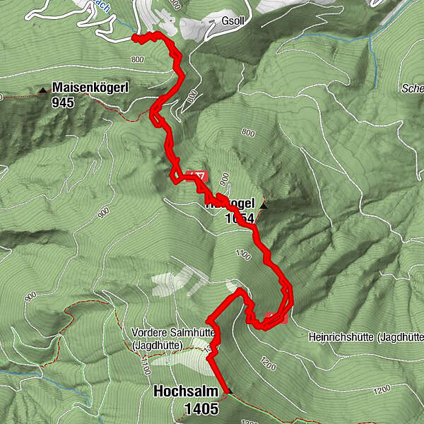
8,7km
762
- 1.375m
629hm
622hm
03:00h
- Lyhyt kuvaus
-
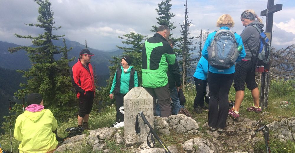
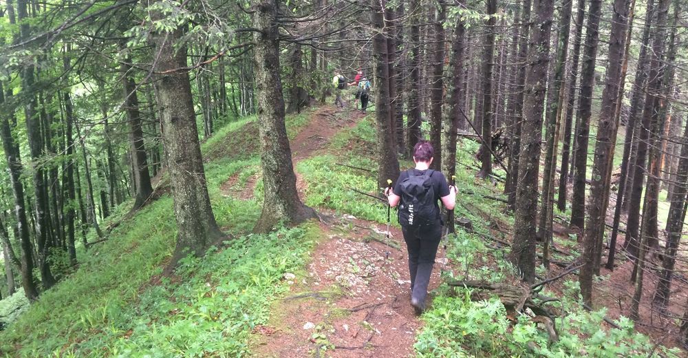
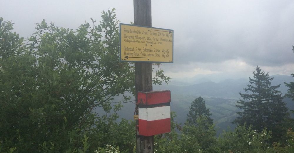
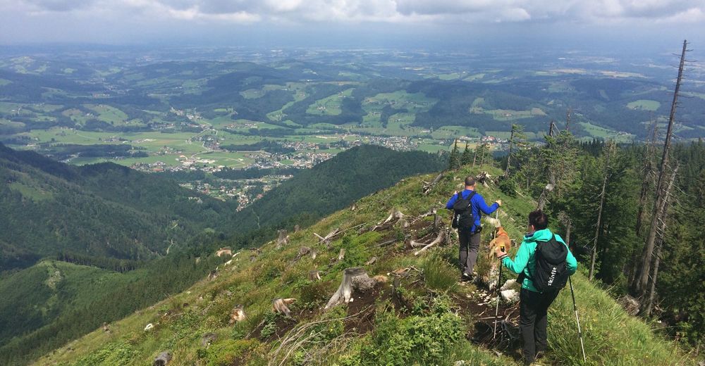
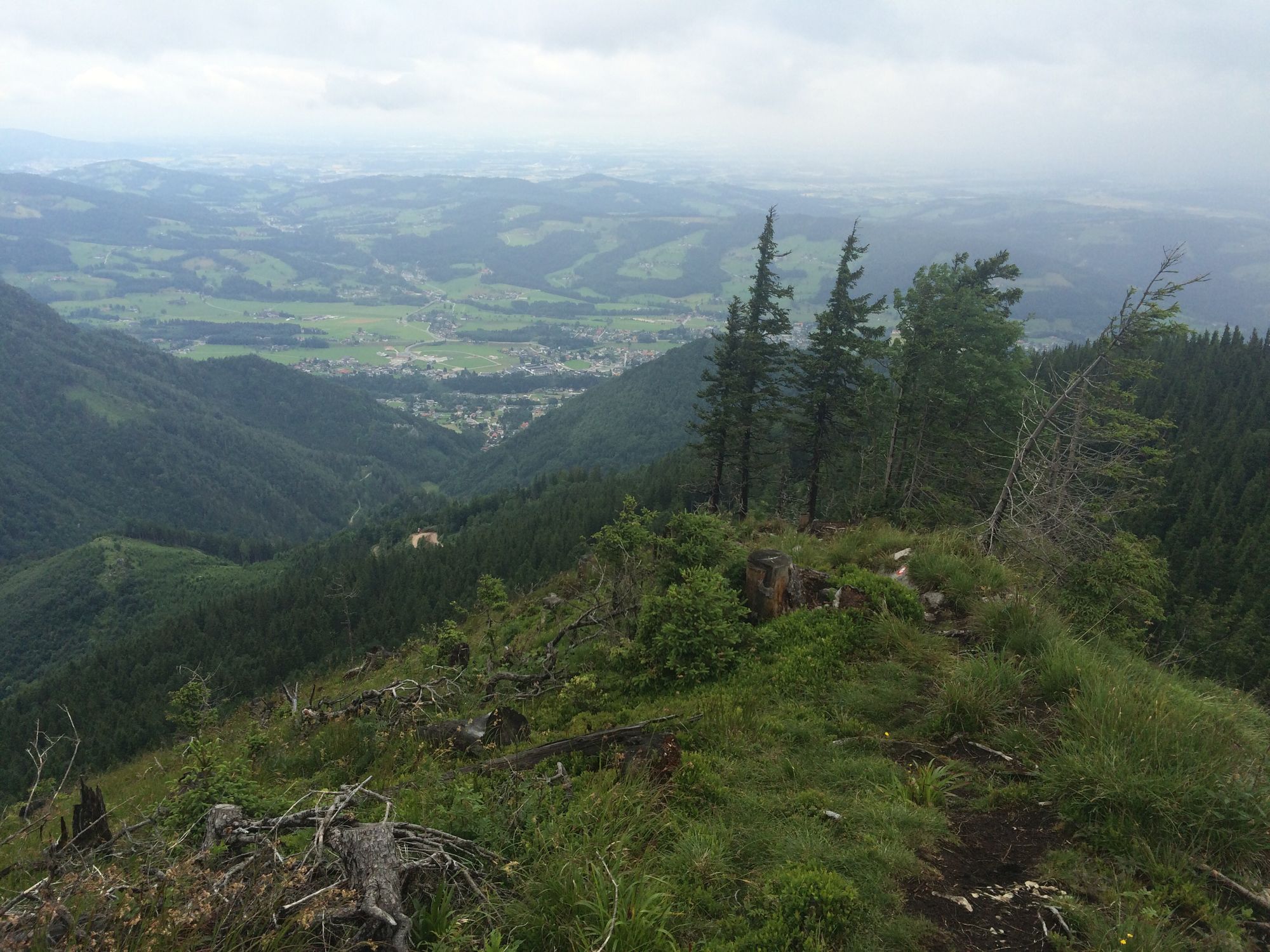
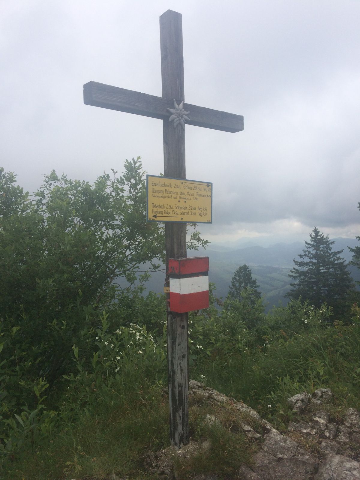
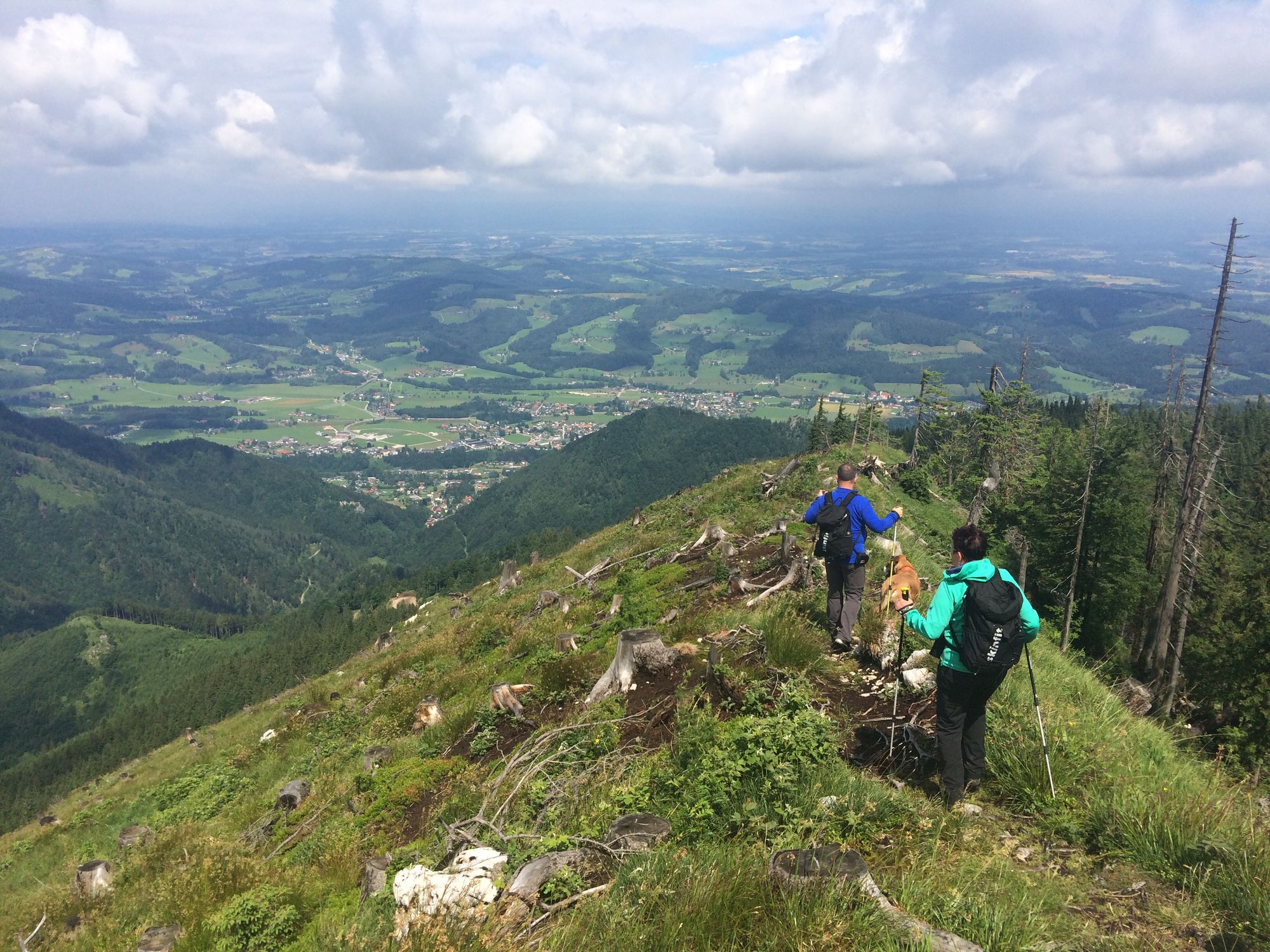
schöne Waldwanderung mit etwas steileren Passagen durch den Wald und doch wieder entlang der Forststrasse, den Kamm entlang zum Gipfelkreuz.
- Vaikeus
-
tapa
- Arviointi
-
- Reitti
-
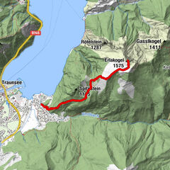
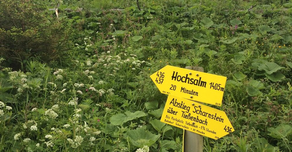
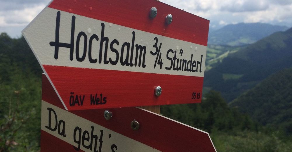
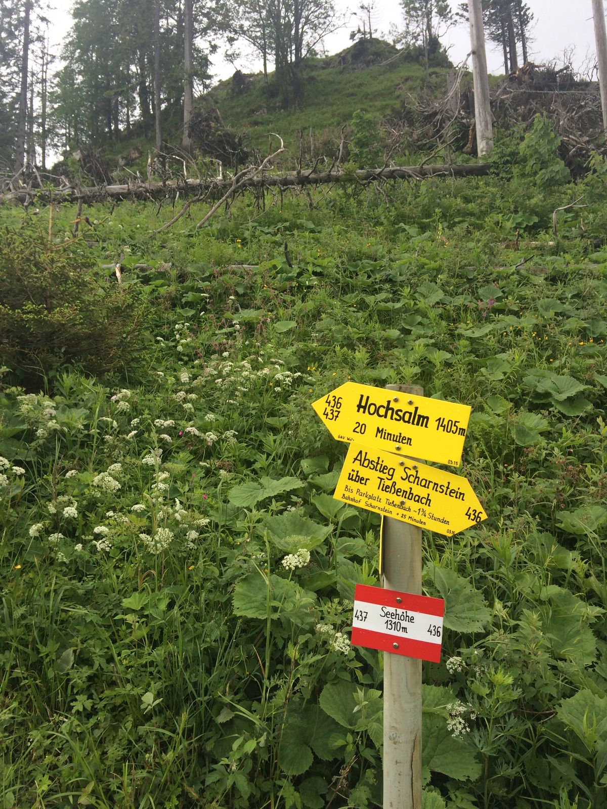
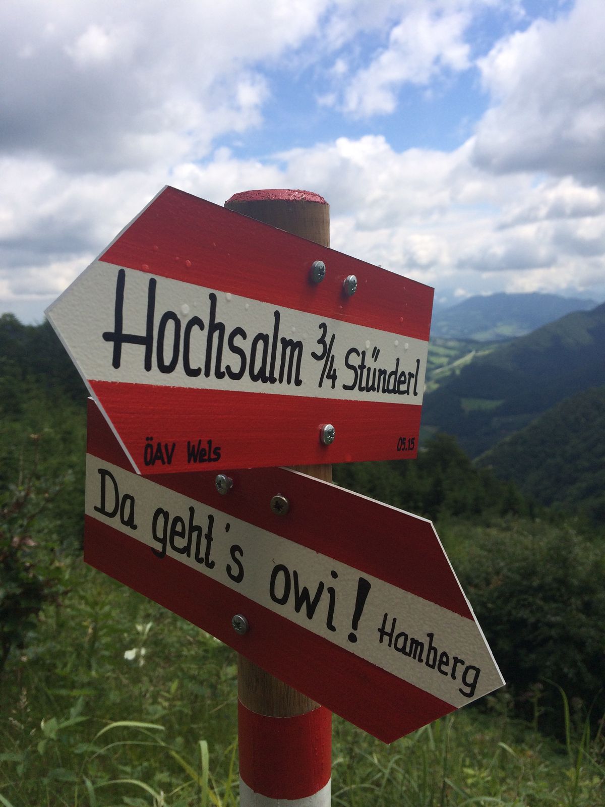
Hochsalm (1.405 m)4,4 km
- Paras kausi
-
tammihelmimaalishuhtitoukokesäheinäelosyyslokamarrasjoulu
- Korkein kohta
- 1.375 m
- Lepo/Retriitti
-
keine


- Lähde
- GJ
GPS Downloads


Polun olosuhteet
Asfaltti
Sora
Niitty
Metsä
Kallio
Altistettu
Lisää retkiä alueilla
-
Traunviertel
1940
-
Traunsee-Almtal
910
-
Scharnstein im Almtal
248