Brunnental - Ring - Ödseen "Auf den Spuren von Kaiserin Sissi"

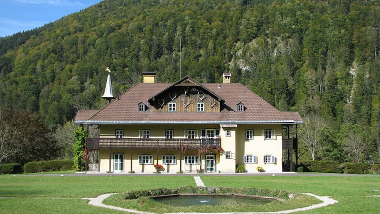
© Fürstenvilla zu Schaumburg-Lippe
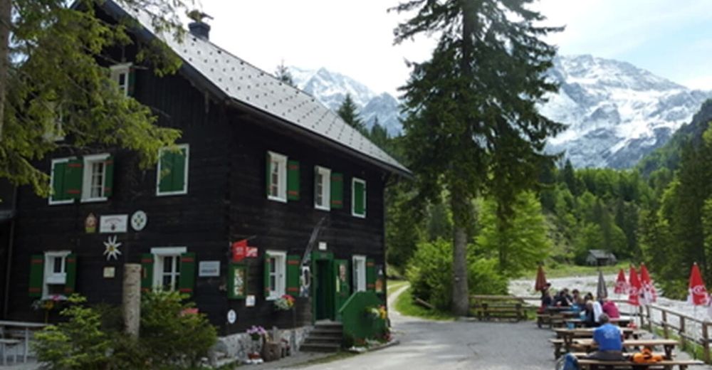
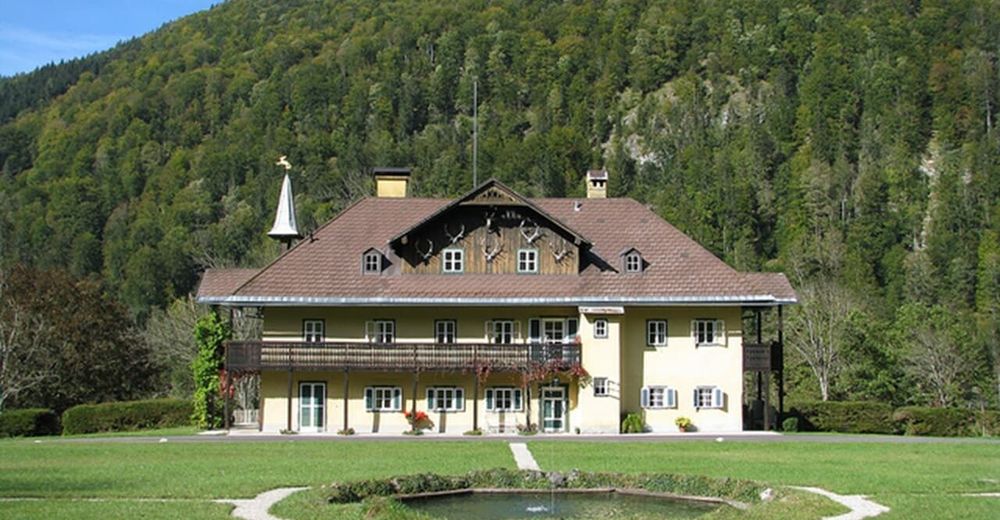
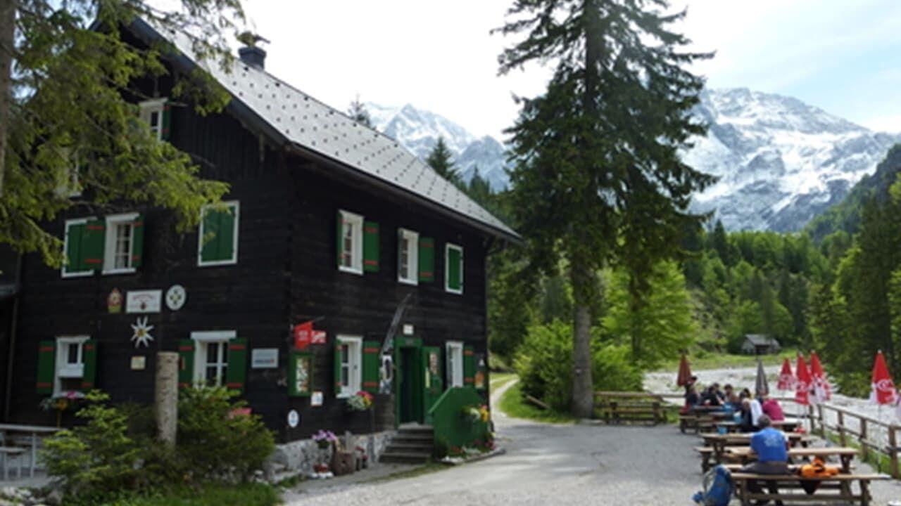
© Almtalerhaus
Retkitiedot
8,6km
550
- 898m
488hm
05:00h
- Lyhyt kuvaus
-
Leichte bis mittlere Wanderung bis zum Großen und Kleinen Ödsee.
- Vaikeus
-
tapa
- Arviointi
-
- Lähtöpiste
-
Parkplatz im Brunnental (Steyrling)
- Reitti
-
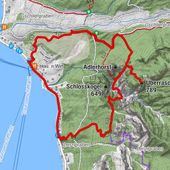
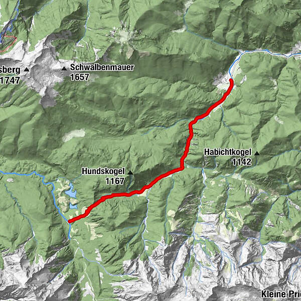
BrunnentalWaldfrieden Steyrling2,2 kmRingsattel (897 m)7,5 kmAlmtalerhaus8,6 km
- Paras kausi
-
tammihelmimaalishuhtitoukokesäheinäelosyyslokamarrasjoulu
- Korkein kohta
- 898 m
- Lepo/Retriitti
-
Almtaler Haus
- Karttamateriaali
-
Wanderkarte Pyhrn-Priel erhätlich in allen Pyhrn-Priel Tourismusbüros!
GPS Downloads


Polun olosuhteet
Asfaltti
Sora
Niitty
Metsä
Kallio
Altistettu
Lisää retkiä alueilla