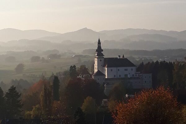
© Carina Pilgerstorfer
Retkitiedot
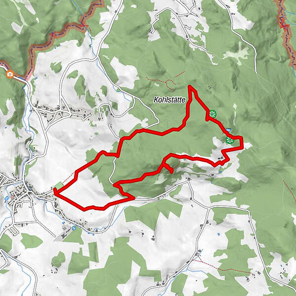
10,35km
735
- 1.007m
335hm
324hm
04:00h
- Lyhyt kuvaus
-
ACHTUNG!! Aufgrund der hohen Schneelast ist der W1 von und zur Jankaskirche mit sofortiger Wirkung auf unbegrenzter Zeit gesperrt (Forstarbeiten)
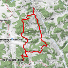
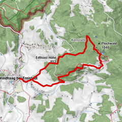
Sportplatz Windhaag - Waschenberg - Edhiasl Höhe - Edlbauer Felsen - Jankuskirche - Pachinger - Sportplatz
- Vaikeus
-
helppo
- Arviointi
-
- Lähtöpiste
-
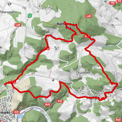
Marktplatz
- Reitti
-
Edthiasl Höhe (853 m)1,6 kmPlochwald5,1 kmPredetschlag5,8 km
- Paras kausi
-
tammihelmimaalishuhtitoukokesäheinäelosyyslokamarrasjoulu
- Korkein kohta
- 1.007 m
- Kohde
-
Marktplatz
GPS Downloads


Polun olosuhteet
Asfaltti
Sora
Niitty
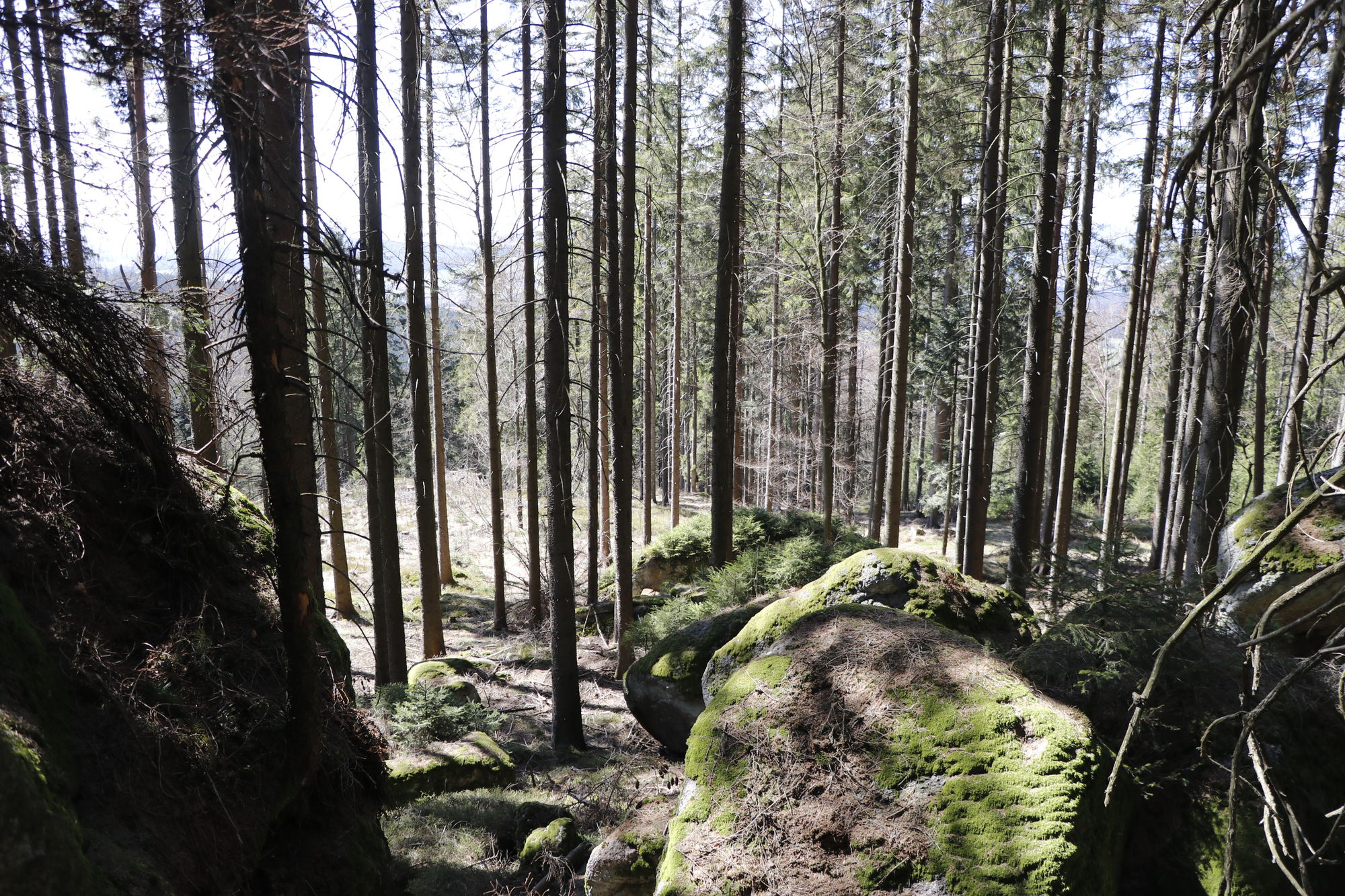
Metsä
Kallio
Altistettu
Lisää retkiä alueilla
-
Mühlviertel
1781
-
Mühlviertler Alm Freistadt
1069
-
Windhaag bei Freistadt
158