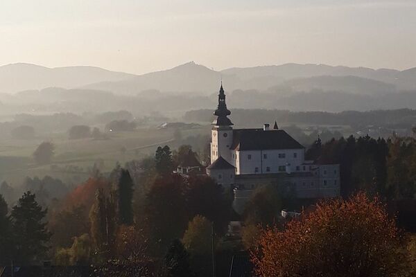
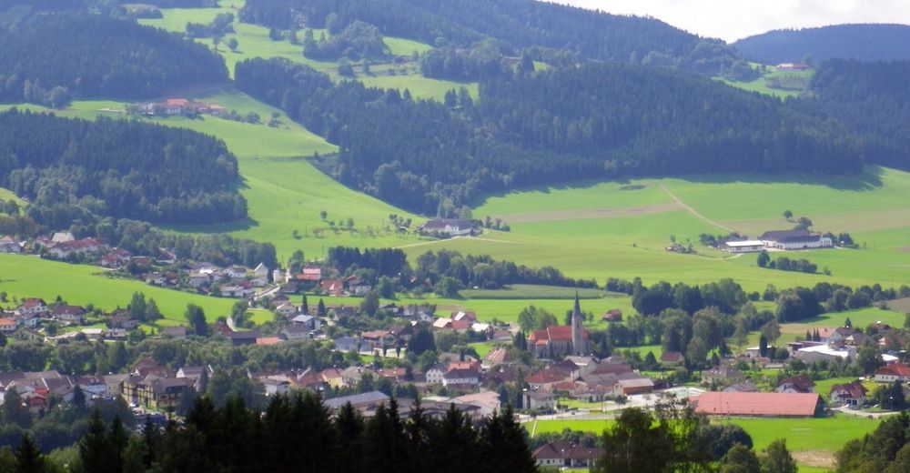
© Tourismuskern St. Oswald b. Fr.
Retkitiedot
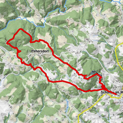
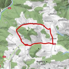
12,65km
626
- 931m
315hm
313hm
03:30h

- Vaikeus
-
tapa
- Arviointi
-
- Lähtöpiste
-
Markierungsbeginn Markturm St. Oswald
- Reitti
-
Sankt Oswald bei Freistadt::plus golf restaurant0,5 kmWippl1,0 kmGasthaus Gartner3,8 kmObermarreith3,8 kmHolzmühle9,7 kmGasthof zur Holzmühle9,8 kmSankt Oswald bei Freistadt12,5 km
- Paras kausi
-
tammihelmimaalishuhtitoukokesäheinäelosyyslokamarrasjoulu
- Korkein kohta
- 931 m
- Lepo/Retriitti
-
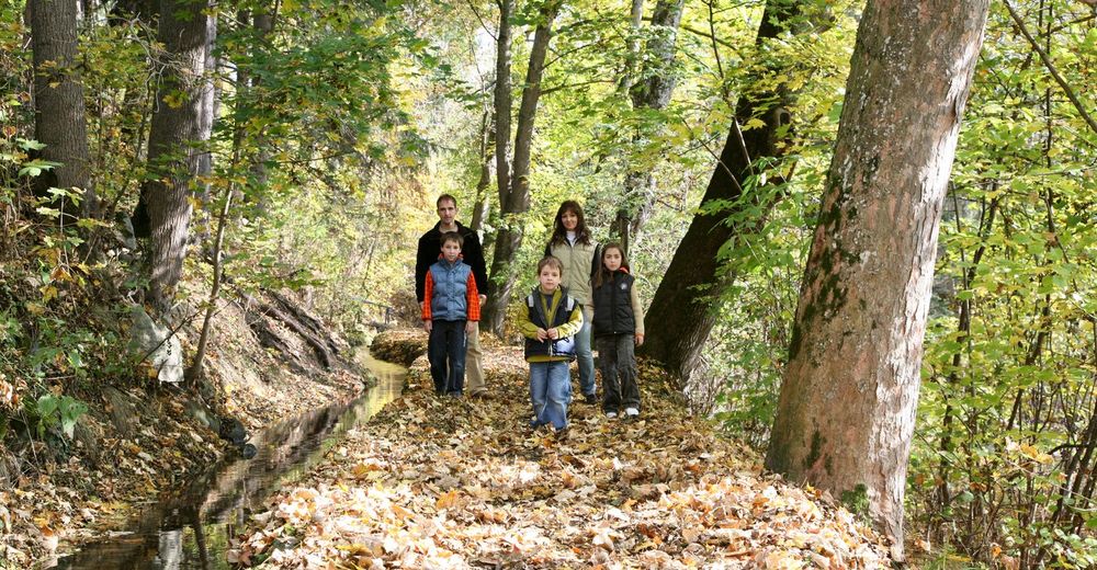
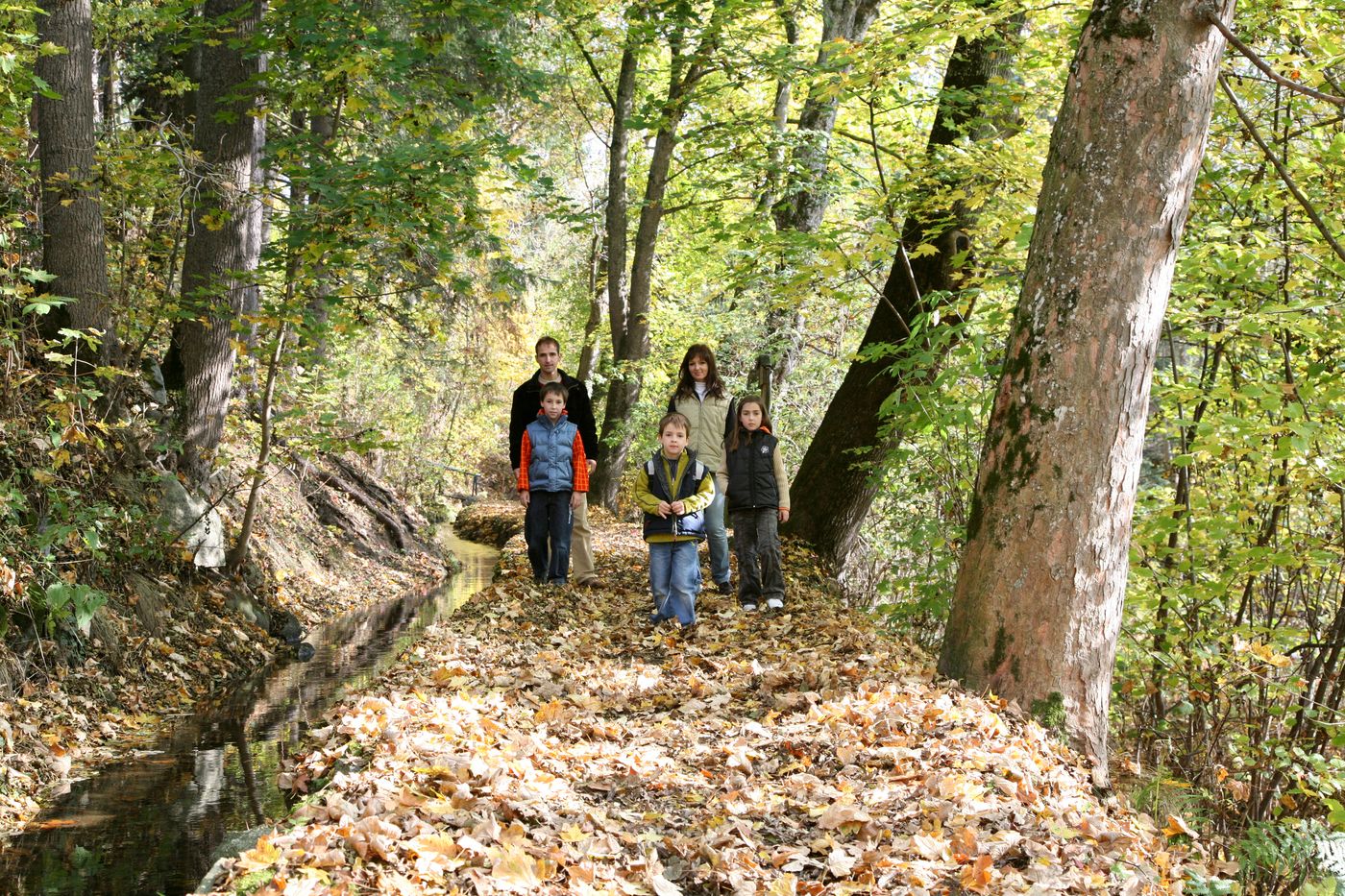
Gastronomie im Ort und entlang der Strecke
Gasthof „Zur Holzmühle“, Mo-Ruhetag - Karttamateriaali
-
TVB Mühlviertler Kernland +43 7945/7526 oder +43 7942/75700
st.oswald@oberoesterreich.at

GPS Downloads


Polun olosuhteet
Asfaltti
Sora
Niitty
Metsä
Kallio
Altistettu
Lisää retkiä alueilla
-
Mühlviertel
1781
-
Mühlviertler Alm Freistadt
1067
-
St. Oswald bei Freistadt
328