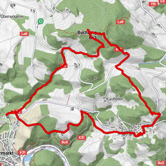
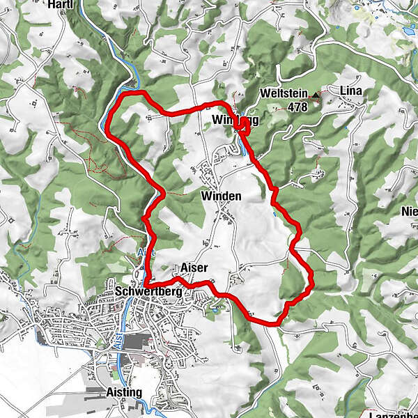
Retkitiedot
10,49km
253
- 347m
193hm
189hm
02:26h
- Lyhyt kuvaus
-
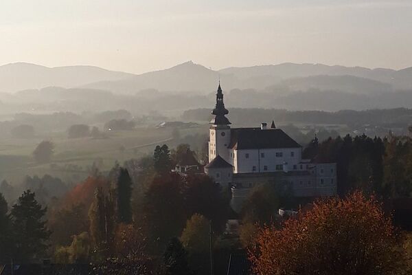
11. Oktober 2020 - Wandertag SPÖ Schwertberg
- Vaikeus
-
helppo
- Arviointi
-
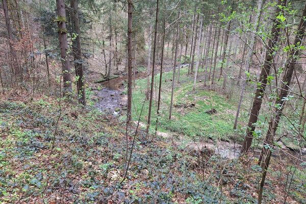
- Reitti
-
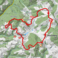
Aiser0,4 kmSchwertberg (265 m)1,0 kmFreizeitwiese1,7 kmJosefstal3,7 kmWindegg5,8 kmAiser10,3 km
- Korkein kohta
- 347 m
GPS Downloads


Lisää retkiä alueilla
-
Mühlviertel
1781
-
Moststraße
754
-
Schwertberg
183