


Retkitiedot
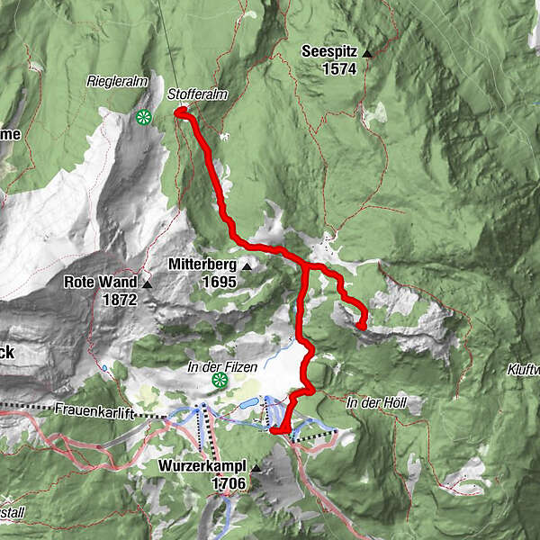
11,51km
1.364
- 1.710m
613hm
613hm
05:00h
- Lyhyt kuvaus
-
Von der Bergstation der Standseilbahn zum Stubwieswipfel mit tollem Blick
- Vaikeus
-
tapa
- Arviointi
-
- Lähtöpiste
-
Bergstation
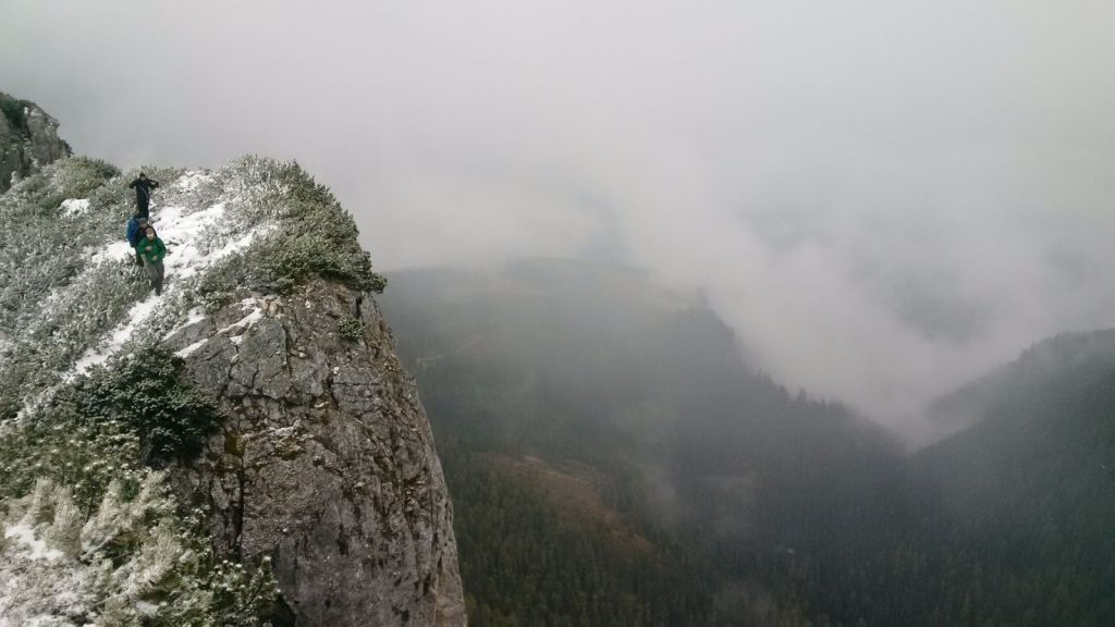
- Reitti
-
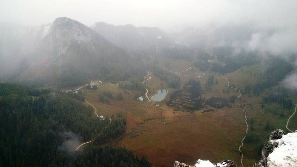
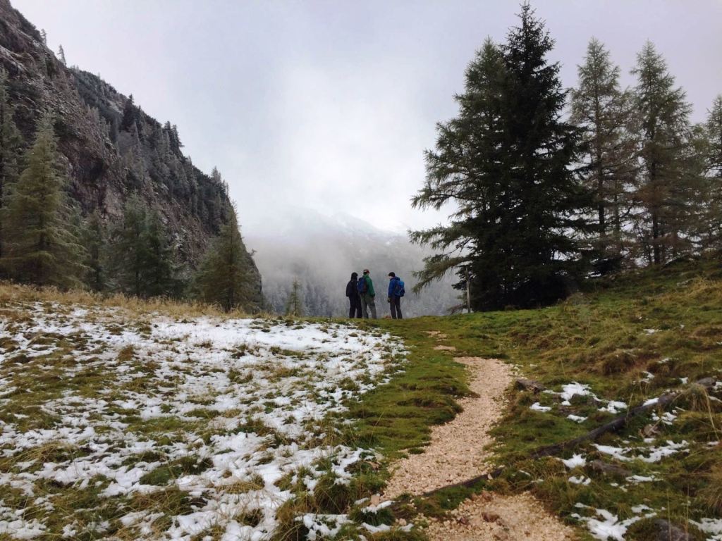
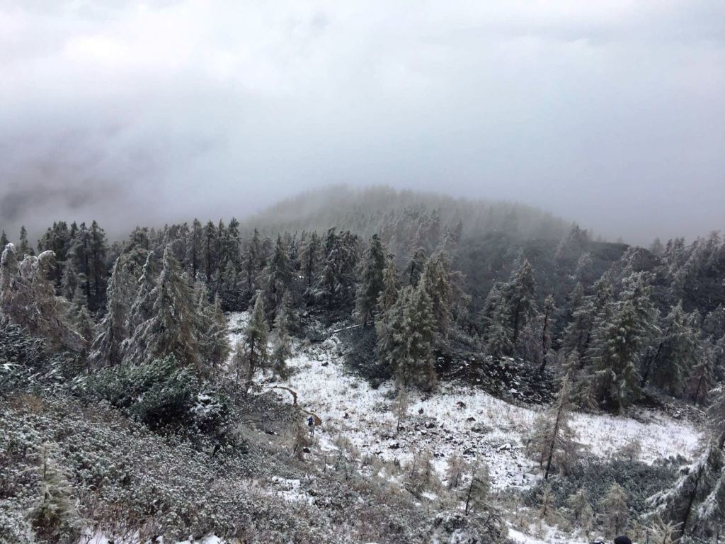
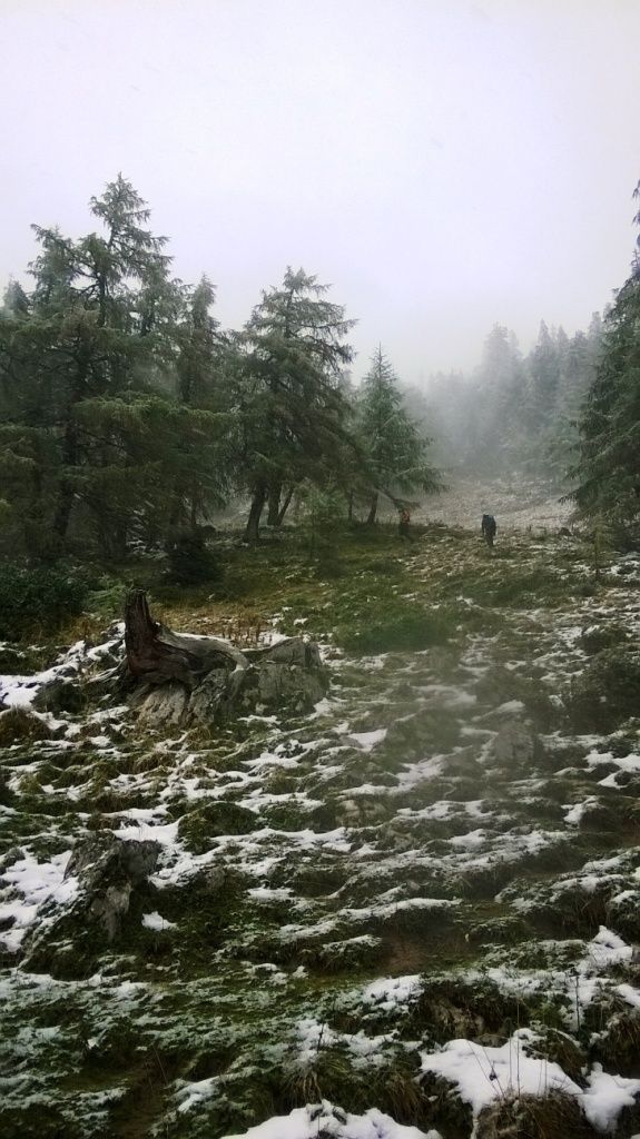
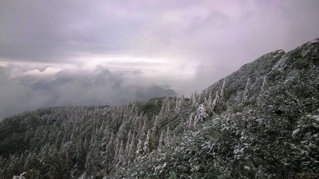
Bergrestaurant WurzeralmWiederlechnerhütte0,1 kmSonnalm0,1 kmNaturfreundehaus0,4 kmStubwieswipfel (1.786 m)3,3 kmHals-Sattel (1.599 m)5,0 kmDümlerhütte6,9 kmHals-Sattel (1.599 m)8,8 kmNaturfreundehaus11,0 kmSonnalm11,3 kmWiederlechnerhütte11,3 kmBergrestaurant Wurzeralm11,5 km
- Paras kausi
-
tammihelmimaalishuhtitoukokesäheinäelosyyslokamarrasjoulu
- Korkein kohta
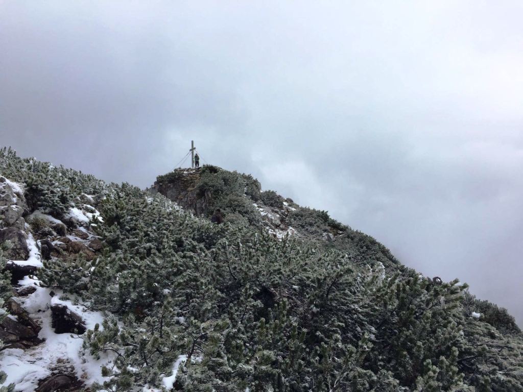
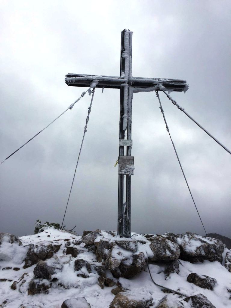
- Stupwieswipfel (1.710 m)
- Kohde
-
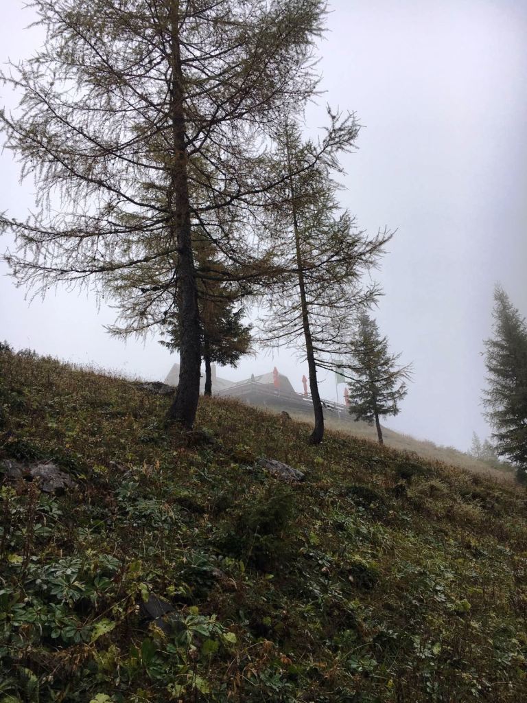
Stubwieswipfel, Dümler Hütte
- Lepo/Retriitti
-
Dümlerhütte: www.alpenverein.at/duemlerhuette/
Sonnalm
Wiederlechnerhütte
Bergrestaurant Wurzeralm: skisport.com/HiWu/de

GPS Downloads


Polun olosuhteet
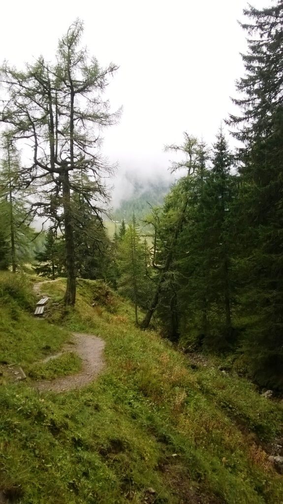
Asfaltti
Sora
(20%)
Niitty
(30%)
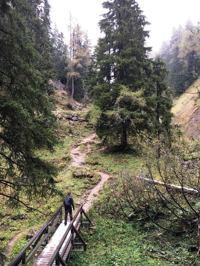
Metsä
(30%)
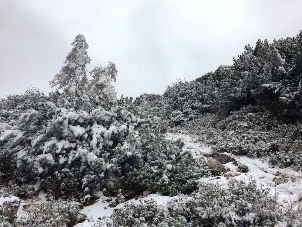
Kallio
(10%)
Altistettu
(10%)
Lisää retkiä alueilla
-
Gesäuse
2225
-
Urlaubsregion Pyhrn - Priel
1440
-
Spital am Pyhrn - Wurzeralm
434


