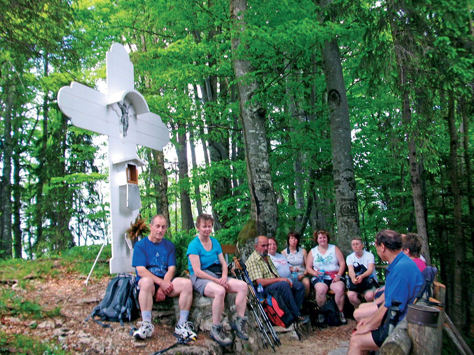
© Gemeinde Gaflenz

- Lyhyt kuvaus
-
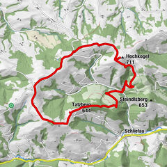
Summit tour starting from Gaflenz/Oberland and returning via Kleingschnaidt
- Vaikeus
-
tapa
- Arviointi
-
- Reitti
-
OberlandWeißes Kreuz (969 m)2,1 kmAm Thall5,1 kmPfandlwirt11,0 kmGaflenz11,0 kmOberland13,3 km
- Paras kausi
-
tammihelmimaalishuhtitoukokesäheinäelosyyslokamarrasjoulu
- Korkein kohta
- 956 m
- Kohde
-
Gaflenz/Oberland
- Korkeusprofiili
-

- Kirjoittaja
-
Kiertue Weißes Kreuz Circular Trail käyttää outdooractive.com toimitettu.
GPS Downloads


Lisää retkiä alueilla
-
Traunviertel
1942
-
Melker Alpenvorland
798
-
Gaflenz
282