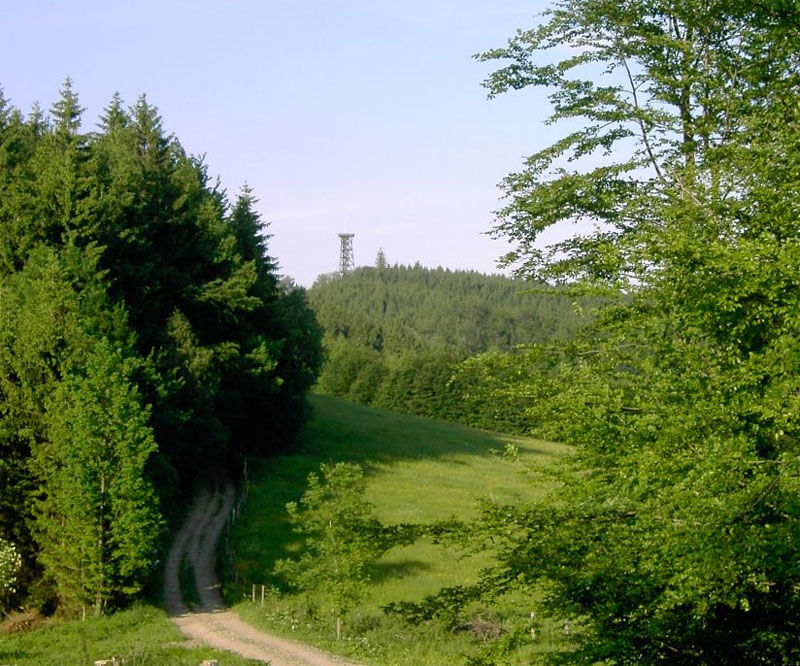
© Sandra Kraushofer


- Lyhyt kuvaus
-
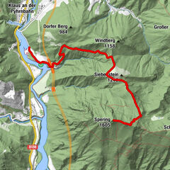
Circular trail from Landhotel Eckhard to Sand on the Sonnberg and Schwarzberg, past the Dambergwarte and back to Sand = "Big Horseshoe"
- Vaikeus
-
tapa
- Arviointi
-
- Reitti
-
Sand1,2 kmDambach3,0 kmOberdambach4,6 kmSturzberg (741 m)7,3 kmRumplhöhe9,1 kmUnterlaussa9,1 kmFuchsenkogel (770 m)10,2 kmFriedenskapelle10,8 kmSonnberg11,1 kmSonnberg (777 m)11,2 kmWilleitenberg (837 m)12,7 kmSchwarzberg (836 m)15,3 kmDambergwarte19,4 kmDamberg (811 m)19,4 kmWindloch22,5 km
- Paras kausi
-
tammihelmimaalishuhtitoukokesäheinäelosyyslokamarrasjoulu
- Korkein kohta
- 832 m
- Kohde
-
St. Ulrich/Landhotel Eckhard
- Korkeusprofiili
-

- Kirjoittaja
-
Kiertue Circular Trail Schwarzberg via St. Ulrich käyttää outdooractive.com toimitettu.
GPS Downloads


Yleistä tietoa
Lupaava
Lisää retkiä alueilla
-
Traunviertel
1940
-
Steyr und die Nationalpark Region
1371
-
Laussa
349