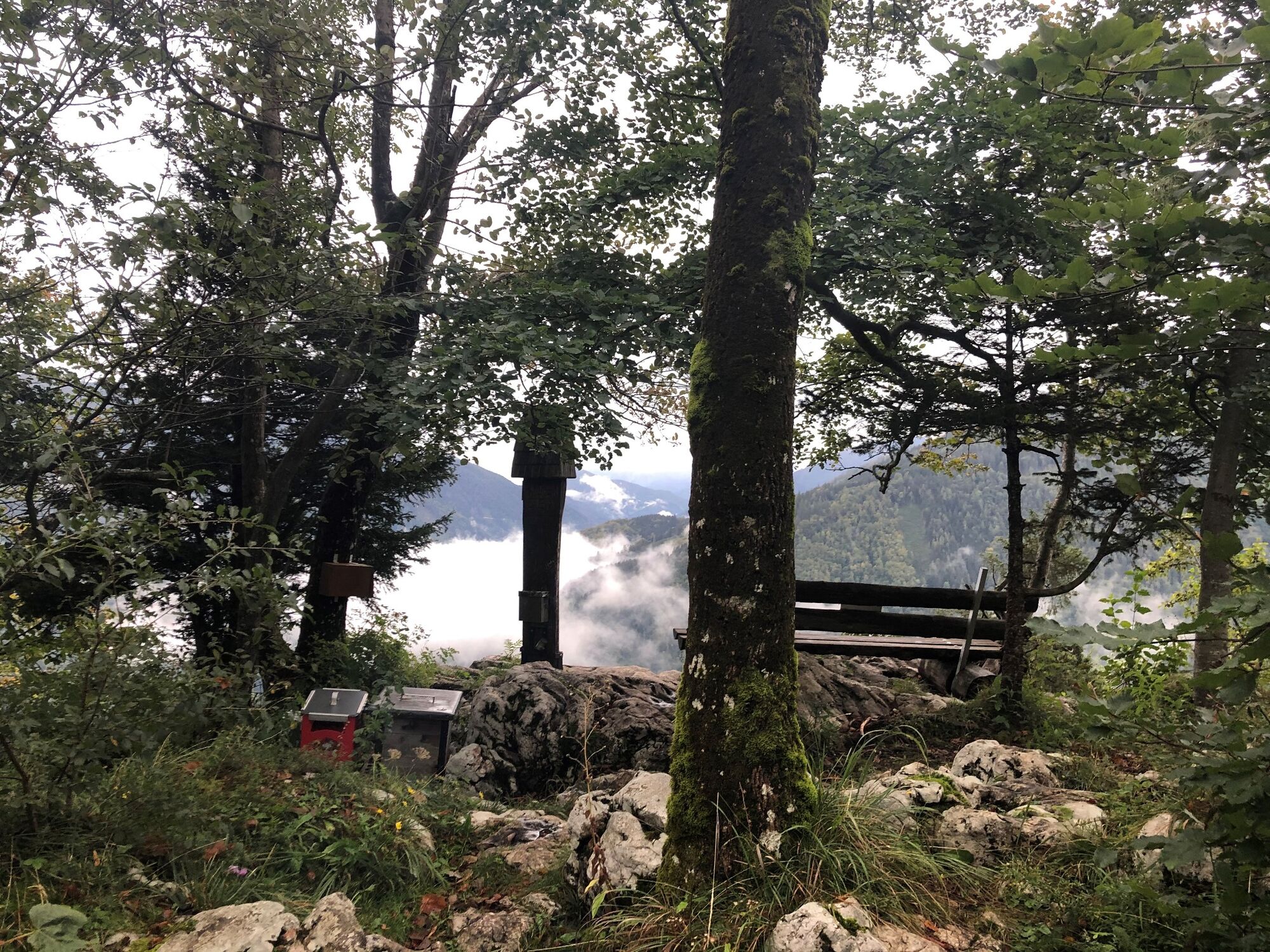
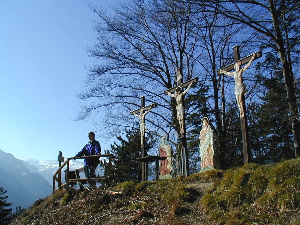
© Tourismusverband Steyr Nationalpark Region - Michaela Frühwirth

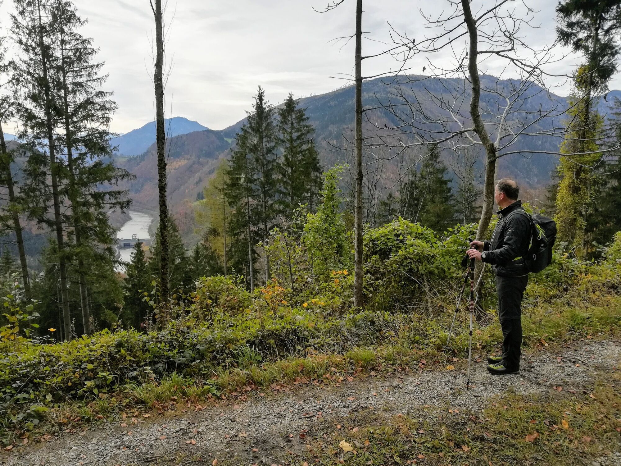
© Tourismusverband Steyr Nationalpark Region - Michaela Frühwirth


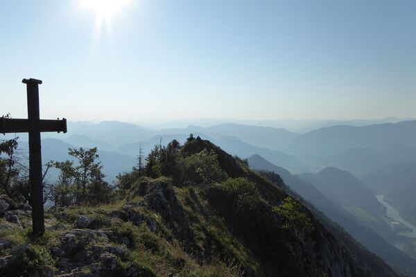
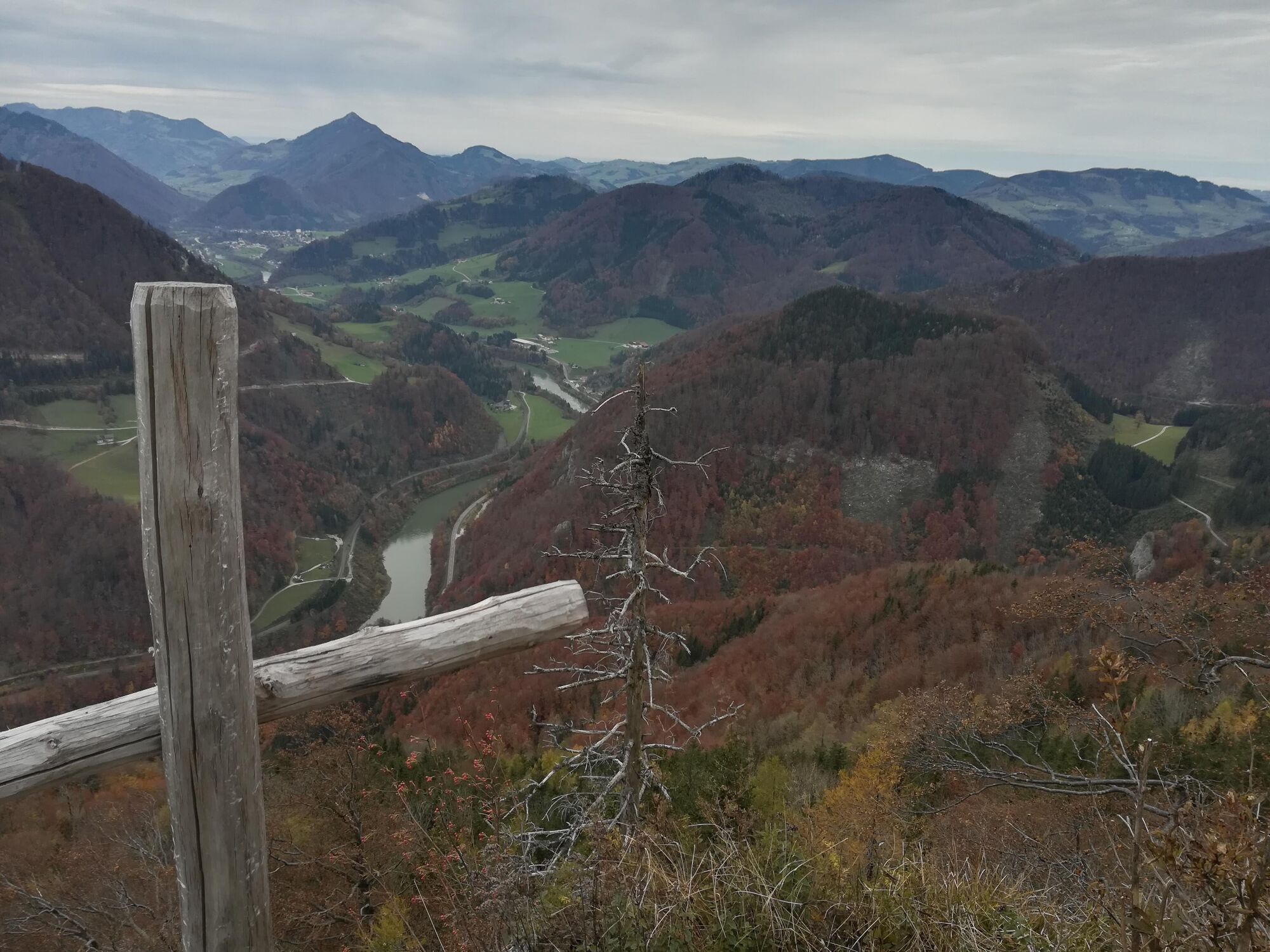
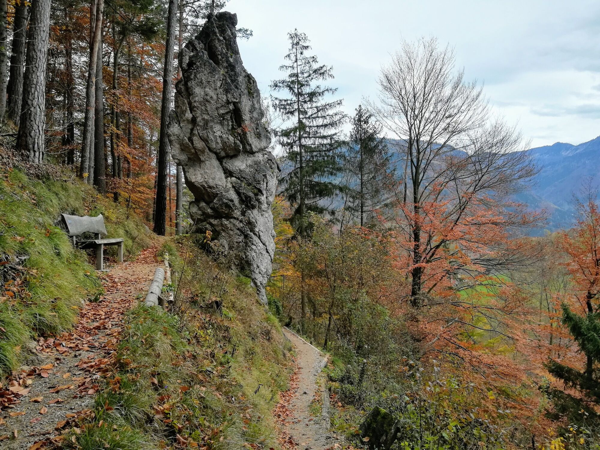
© TV Nationalpark Region Ennstal

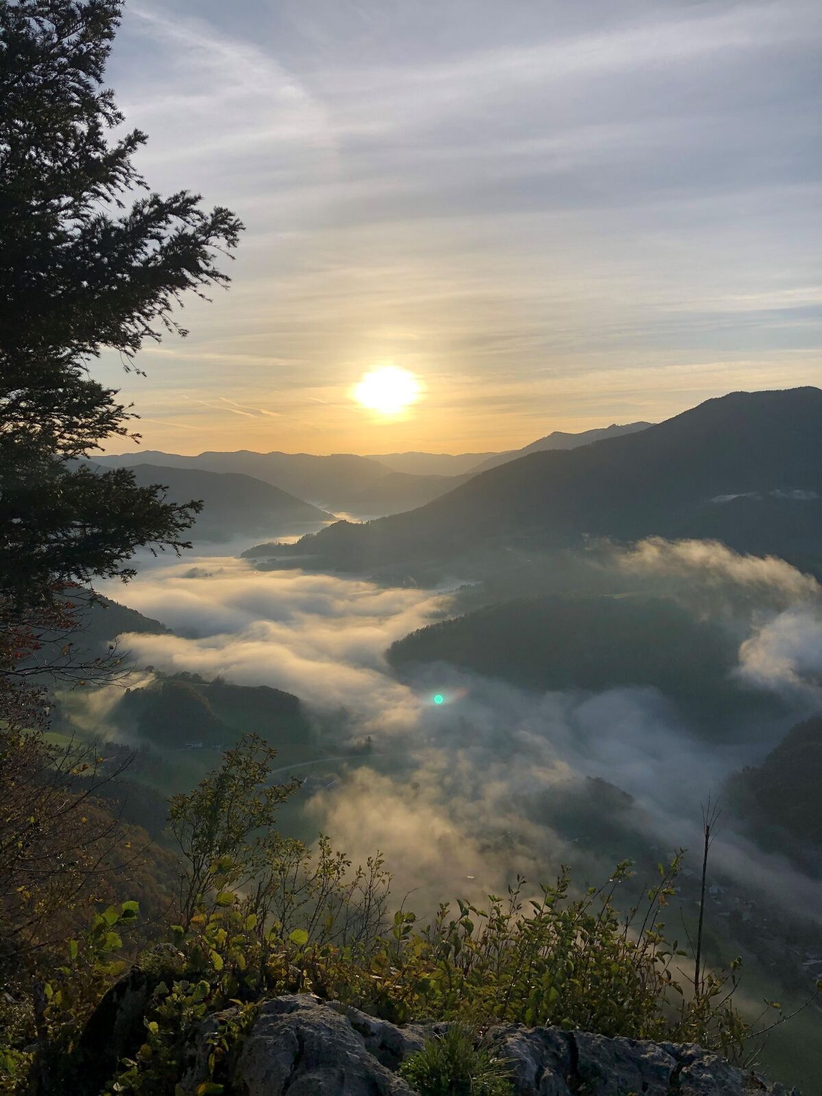
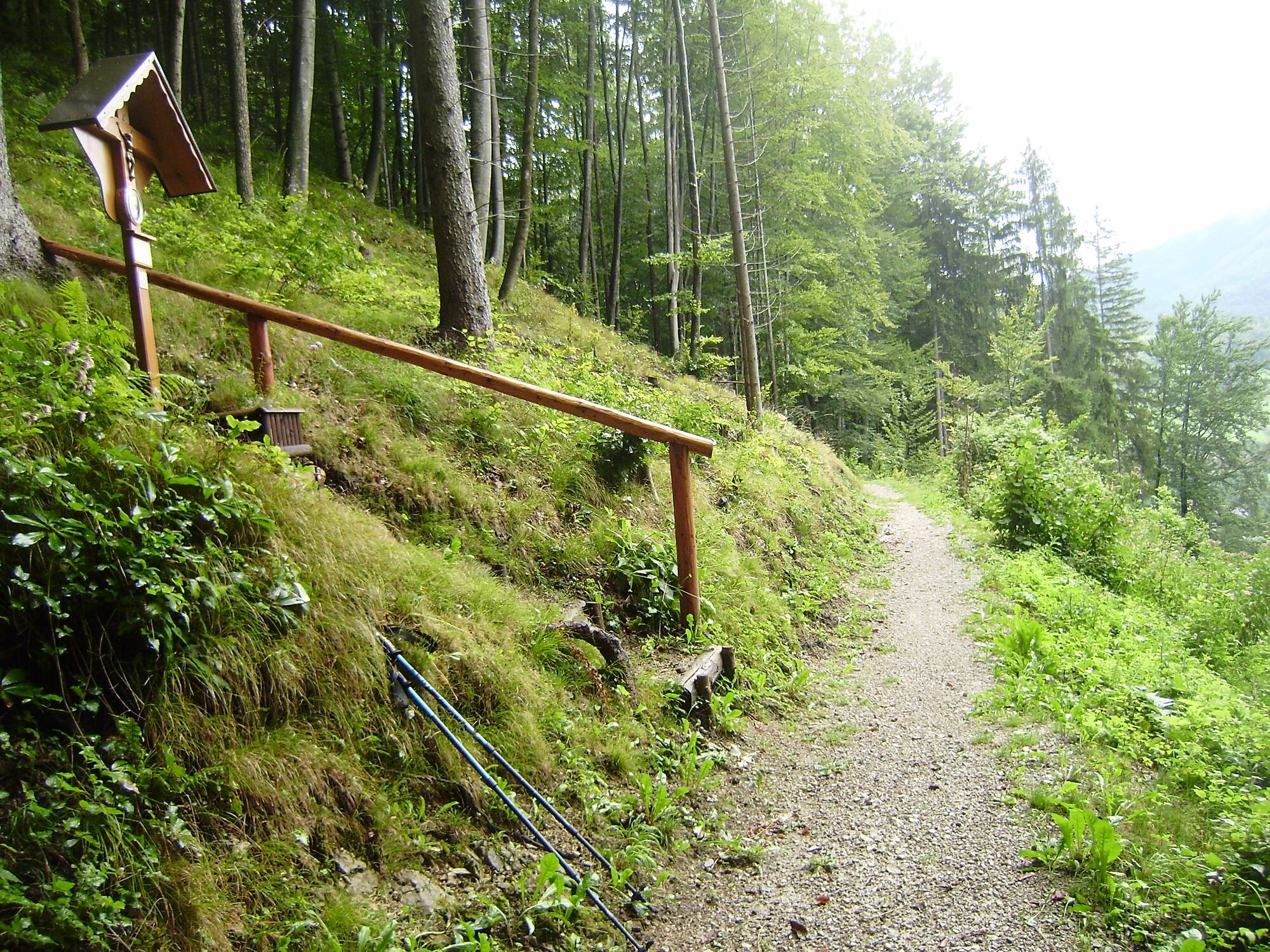
© TV Nationalpark Region Ennstal


- Lyhyt kuvaus
-
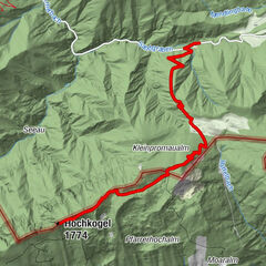
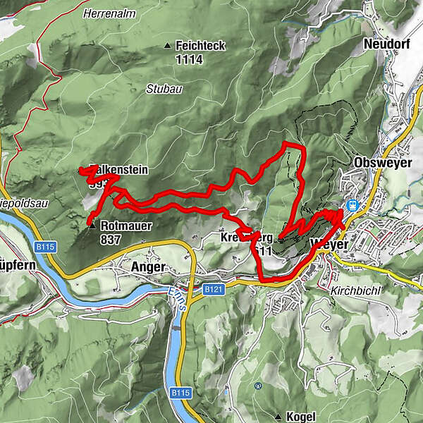
Circular trail with several peaks starting from Weyer to the Rotmäuer with a detour to the Falkenstein and the way back via the Kreuzberg nature reserve.
- Vaikeus
-
helppo
- Arviointi
-
- Reitti
-
Weyer0,4 kmAu2,1 kmRotmauer (837 m)5,3 kmFalkenstein (993 m)6,7 kmKreuzberg (611 m)12,3 kmWeyer13,8 km
- Paras kausi
-
tammihelmimaalishuhtitoukokesäheinäelosyyslokamarrasjoulu
- Korkein kohta
- 986 m
- Kohde
-
Weyer
- Korkeusprofiili
-

- Kirjoittaja
-
Kiertue Rotmäuer - Falkenstein - Kreuzberg käyttää outdooractive.com toimitettu.
GPS Downloads


Yleistä tietoa
Flora
Lupaava
Lisää retkiä alueilla
-
Gesäuse
2225
-
Melker Alpenvorland
797
-
Weyer
313