
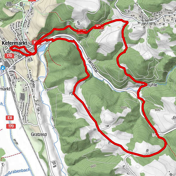
Retkitiedot
8,5km
500
- 646m
254hm
229hm
02:00h
- Lyhyt kuvaus
-
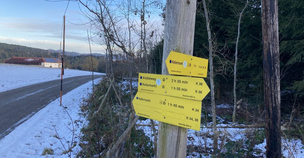
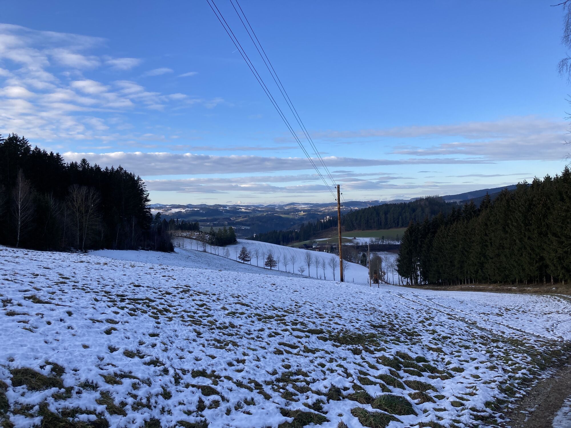
Kefermarkt - K34 - Altmühlweg
- Vaikeus
-
helppo
- Arviointi
-
- Lähtöpiste
-
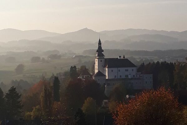
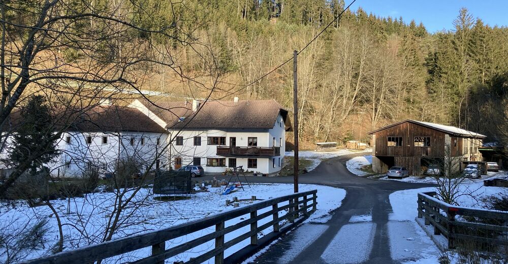
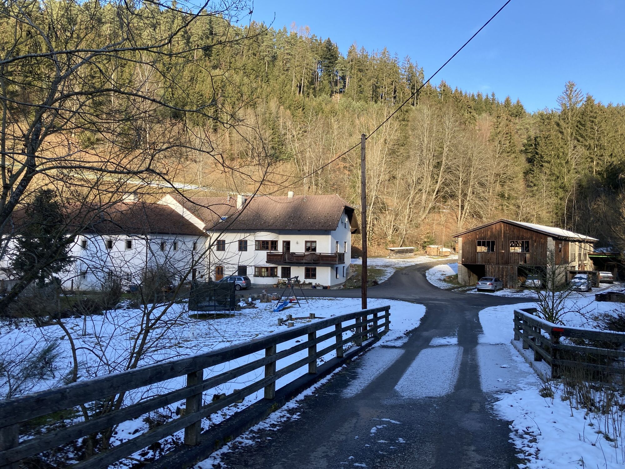
Marktplatz Kefermarkt
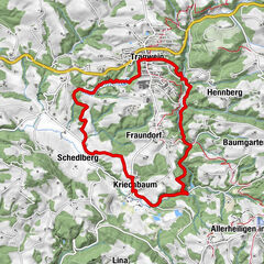
- Reitti
-
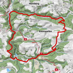
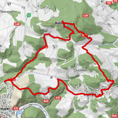
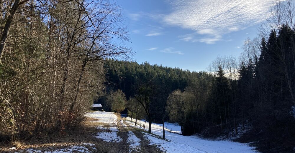
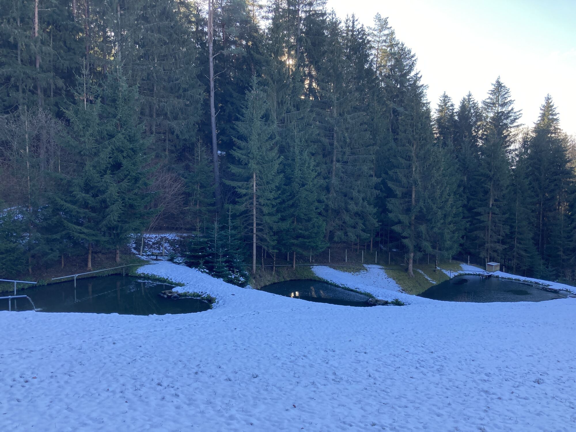
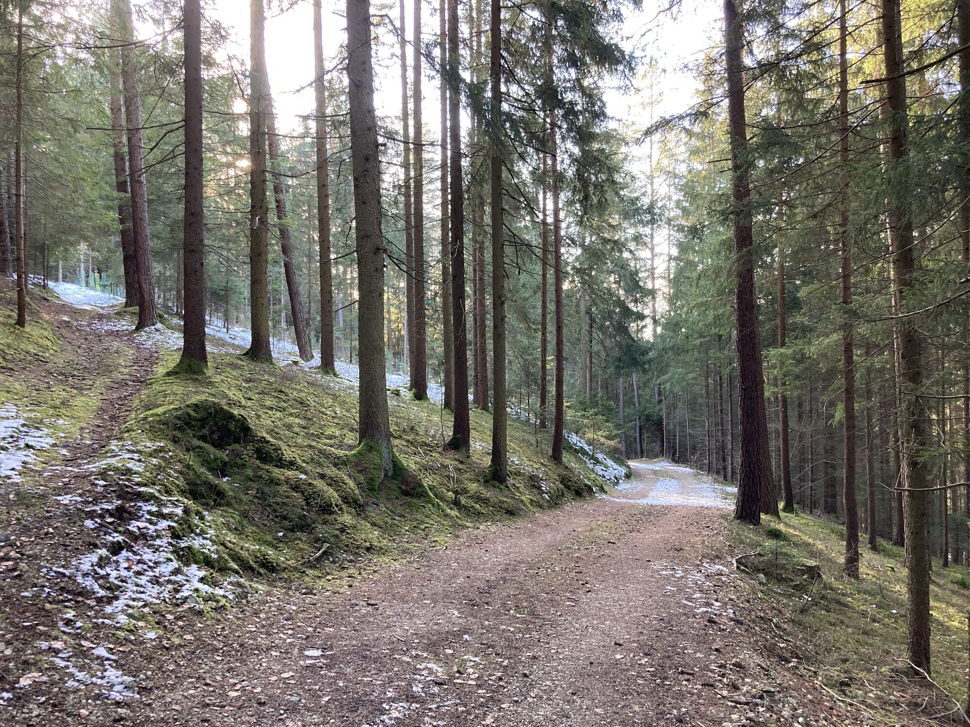
Kefermarkt0,1 kmPfarrkirche Kefermarkt0,1 kmWaldschenke4,2 kmHarterleiten5,1 kmKefermarkt8,3 km
- Paras kausi
-
tammihelmimaalishuhtitoukokesäheinäelosyyslokamarrasjoulu
- Korkein kohta
- 646 m
- Kohde
-
Marktplatz Kefermarkt


- Lähde
- yamfs
GPS Downloads


Polun olosuhteet
Asfaltti
Sora
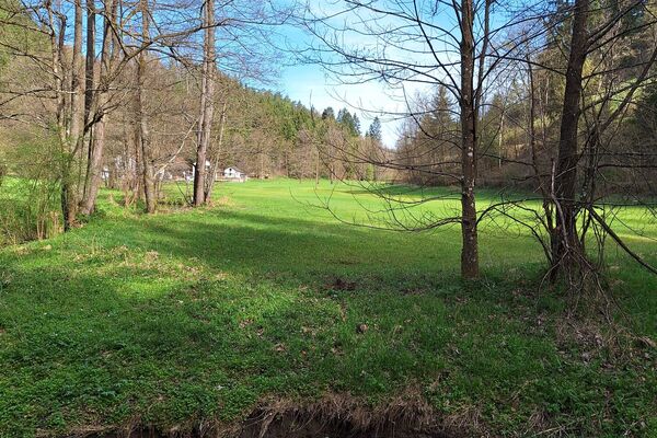
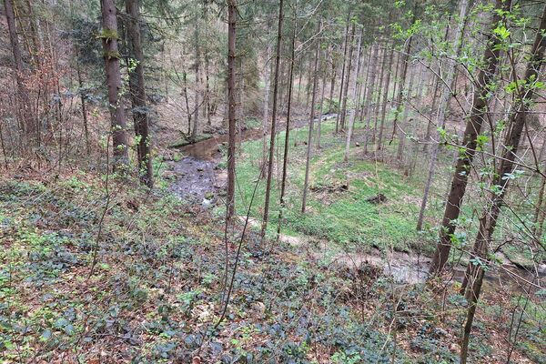
Niitty
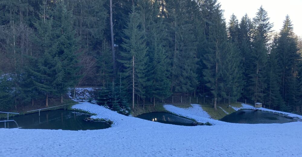
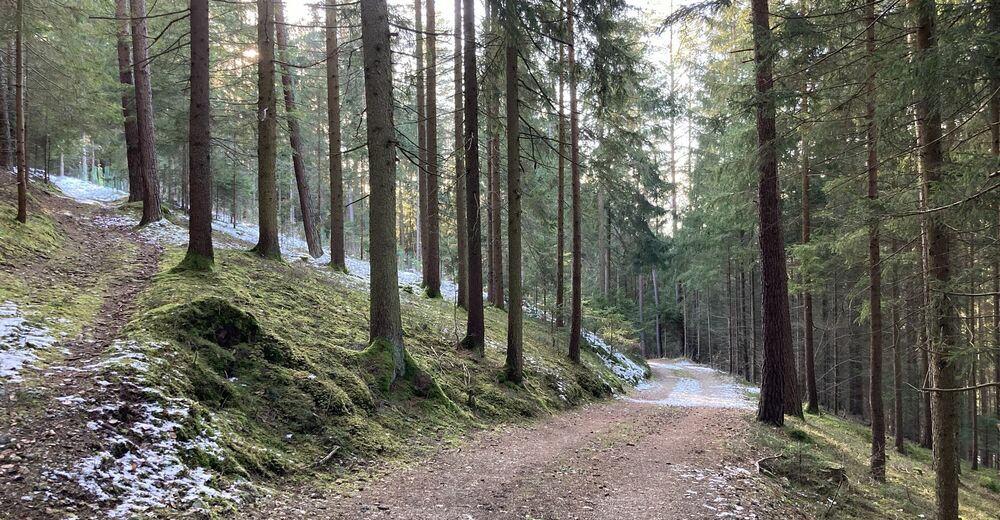
Metsä
Kallio
Altistettu
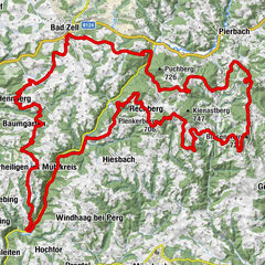
Lisää retkiä alueilla
-
Mühlviertel
1782
-
Mühlviertler Alm Freistadt
1067
-
Kefermarkt
392