© Unbekannt - Syndicat AOP Corbières


© Unbekannt - Syndicat AOP Corbières


- Lyhyt kuvaus
-
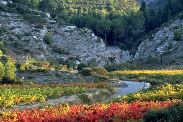
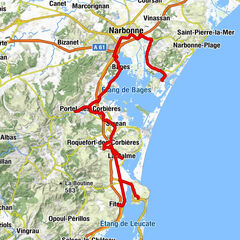
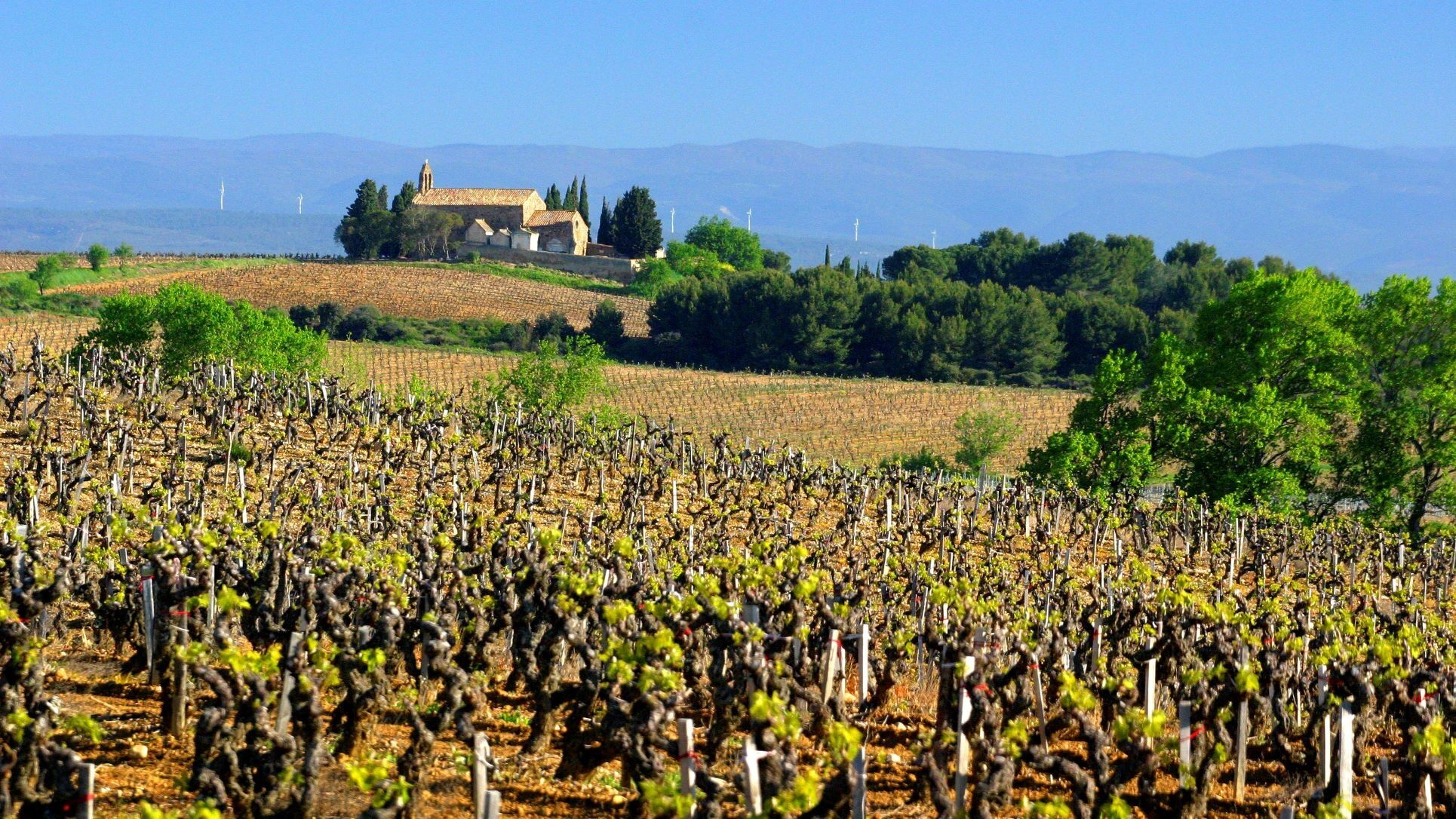
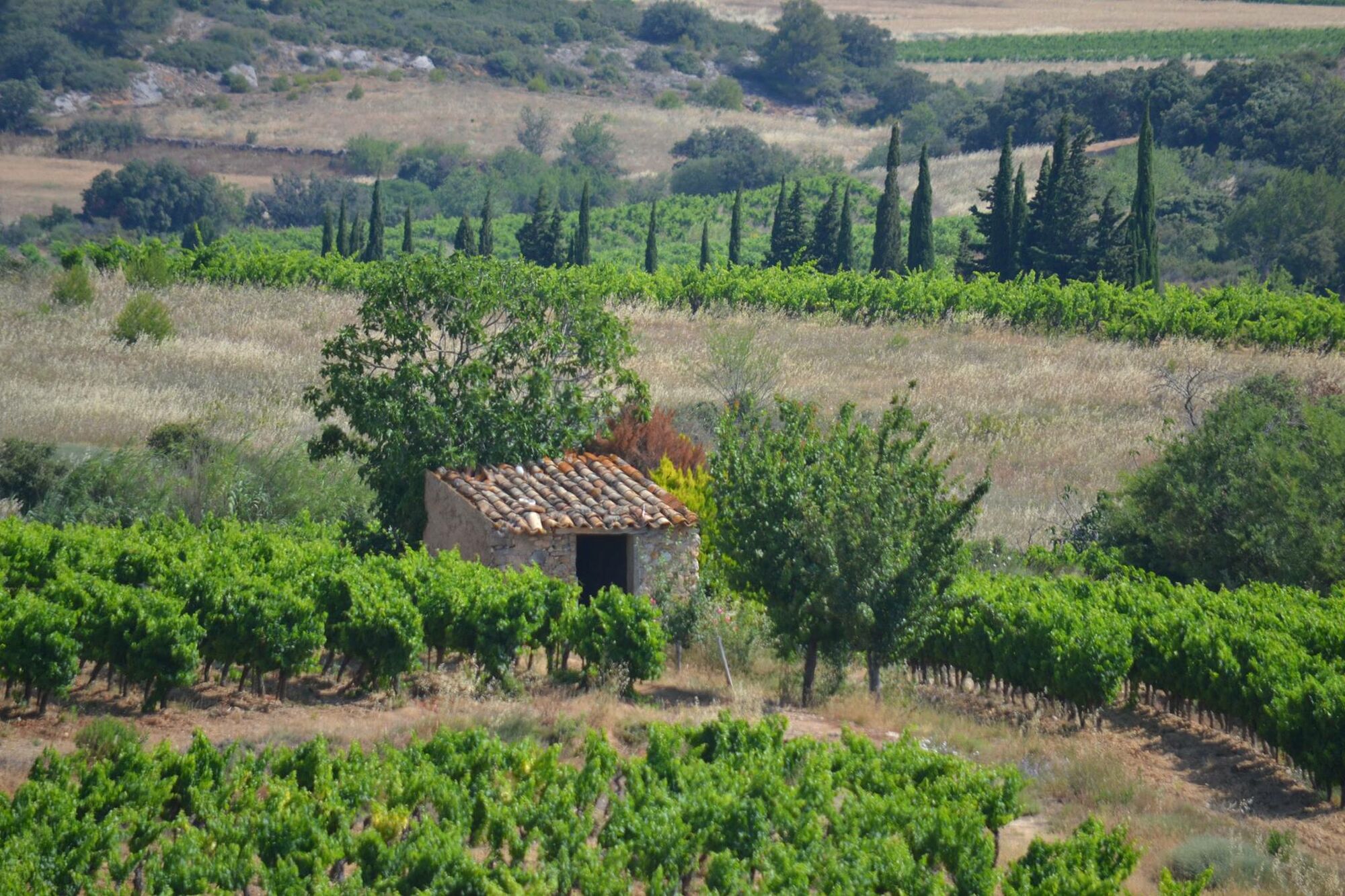
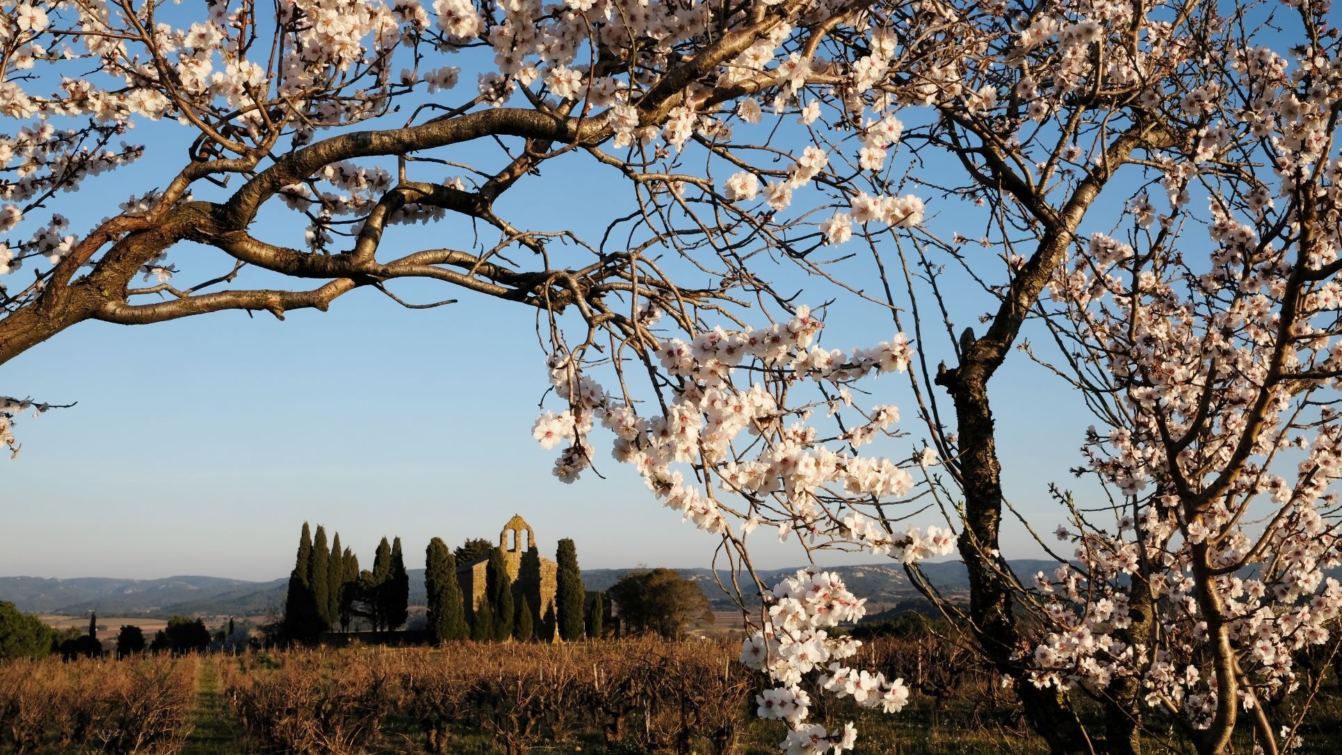
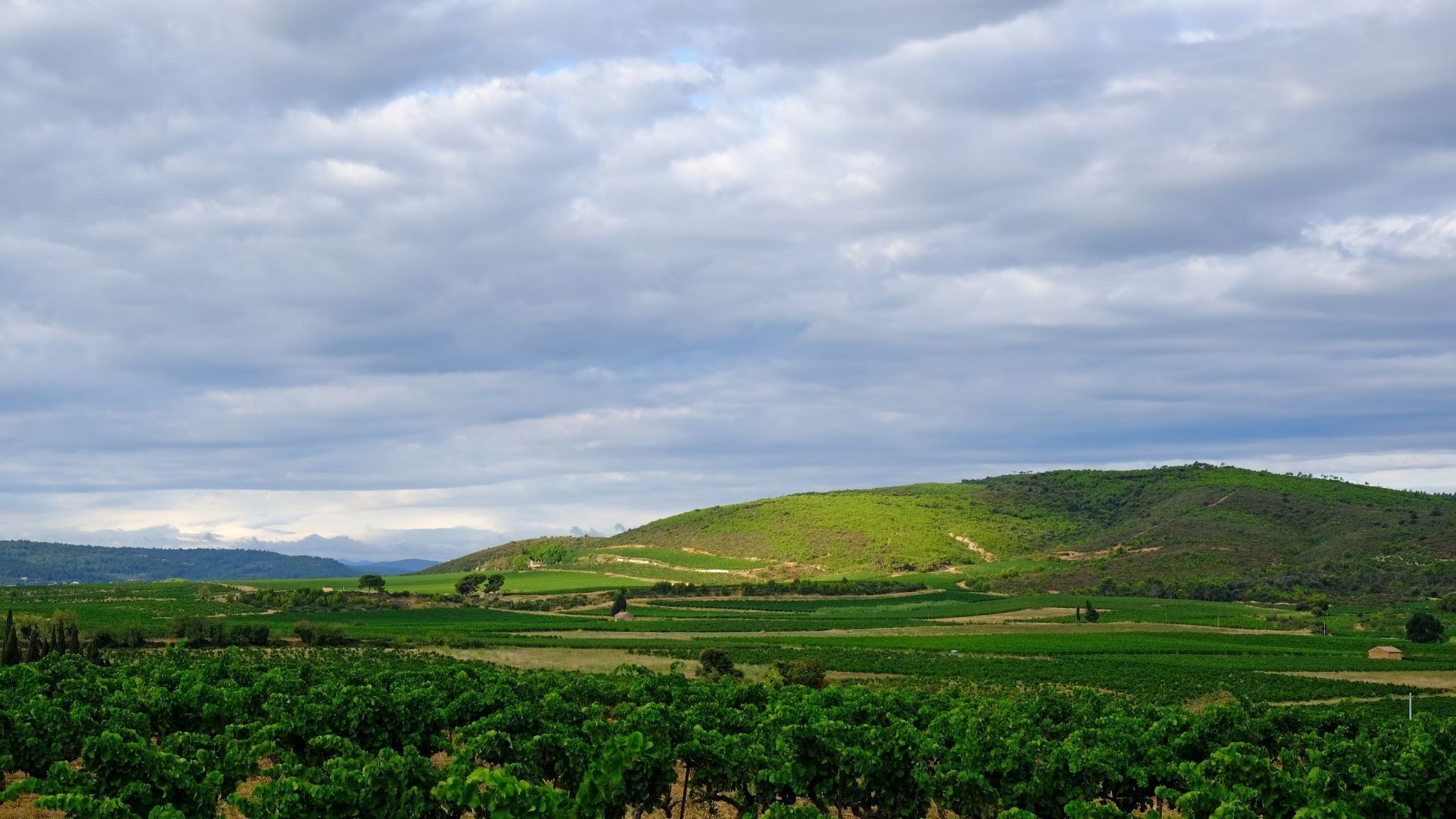
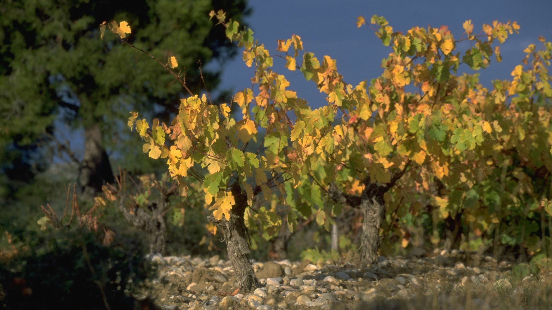
Discover our wine region, the Corbières appellation area, by following five themed routes: the Lake and Sea Route; the Cathar Chateaux Route; the Boutenac cru Route; the Alaric Route and the Narbonne to Lézignan-Corbières Route. Each one of them can be explored in a day, or over several days.
There is no beginning, end or compulsory stopover. Everyone can spend an indulgent moment where and when they like. Just sit back and enjoy. The worst that can happen is that you fall in love with this corner of Southern France, with its singsong accent and wine growers whose authenticity is deeply rooted in their culture. - Vaikeus
-
tapa
- Arviointi
-
- Reitti
-
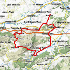
Lézignan-Corbières0,8 kmFerrals-les-Corbières7,2 kmFabrezan9,7 kmCafé du Théâtre10,2 kmMétairie de Charles13,4 kmSaint-Laurent-de-la-Cabrerisse16,7 kmLe Carignan16,9 kmThézan-des-Corbières24,1 kmÉglise Saint-Félix27,8 kmMontséret27,8 kmSaint-André-de-Roquelongue30,9 kmLes Trois Mongettes32,6 kmVillemajou34,0 kmGasparets35,2 kmÉglise Saint-Mamès37,4 kmBoutenac37,4 kmGasparets39,6 kmOrnaisons44,3 kmLuc-sur-Orbieu48,7 kmLes Jardins d'Hélios50,9 kmLézignan-Corbières52,9 km
- Paras kausi
-
tammihelmimaalishuhtitoukokesäheinäelosyyslokamarrasjoulu
- Korkein kohta
- 117 m
- Kohde
-
Lézignan-Corbières
- Korkeusprofiili
-
 © outdooractive.com


-

-
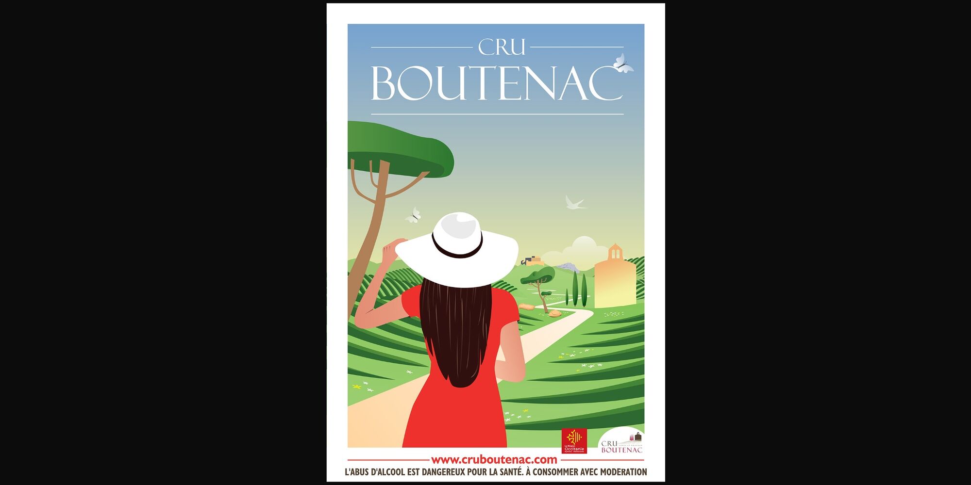
KirjoittajaKiertue The "Boutenac cru" route : iconic wines käyttää outdooractive.com toimitettu.
GPS Downloads


Yleistä tietoa
Virvokepysäkki
Kulttuuri/Historiallinen
Flora
Lupaava
Lisää retkiä alueilla