© Heidiland Tourismus - Ramona Saxer


- Lyhyt kuvaus
-
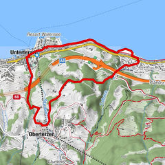
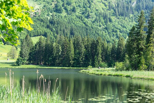
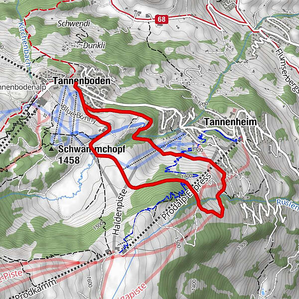
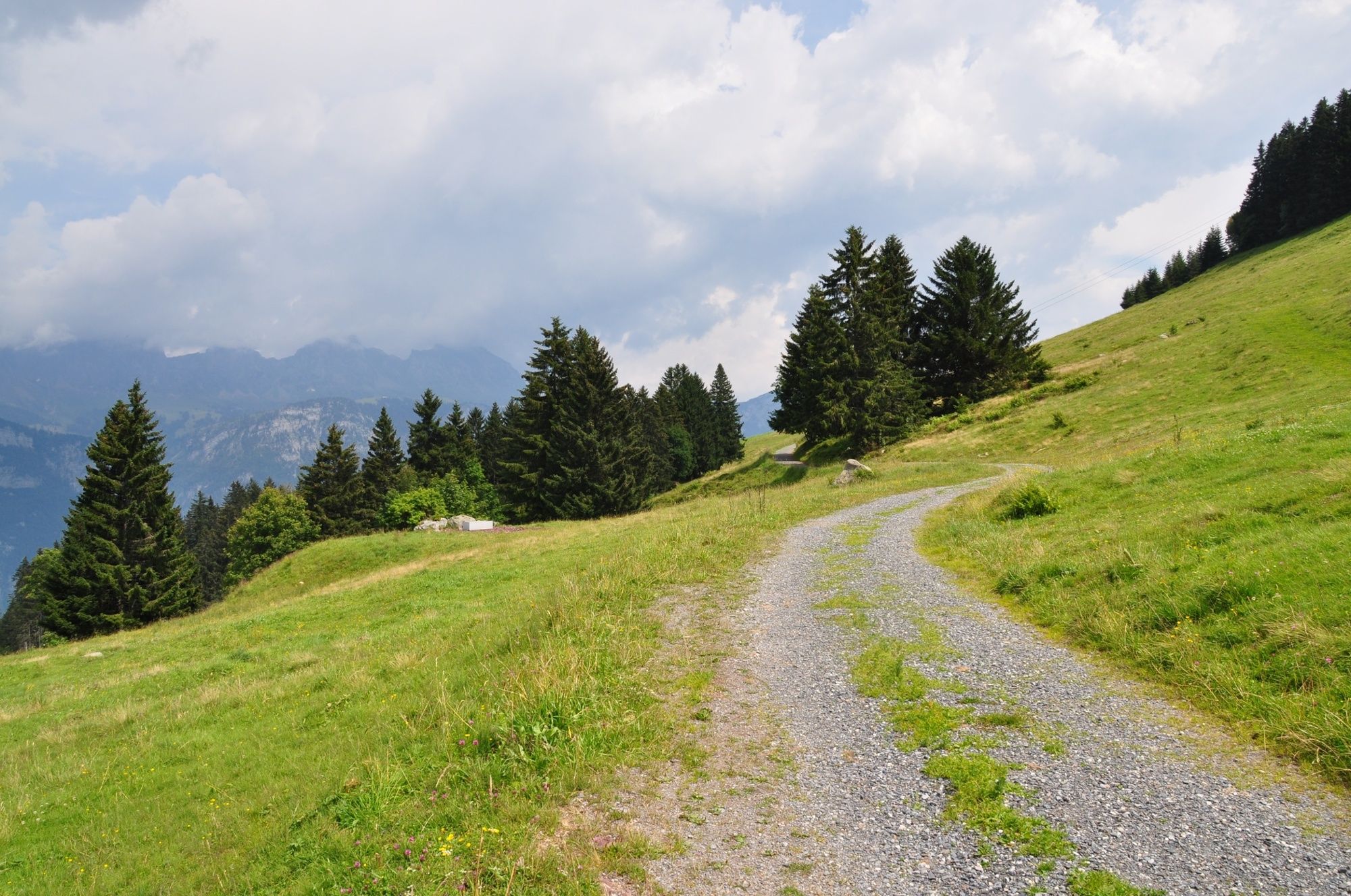
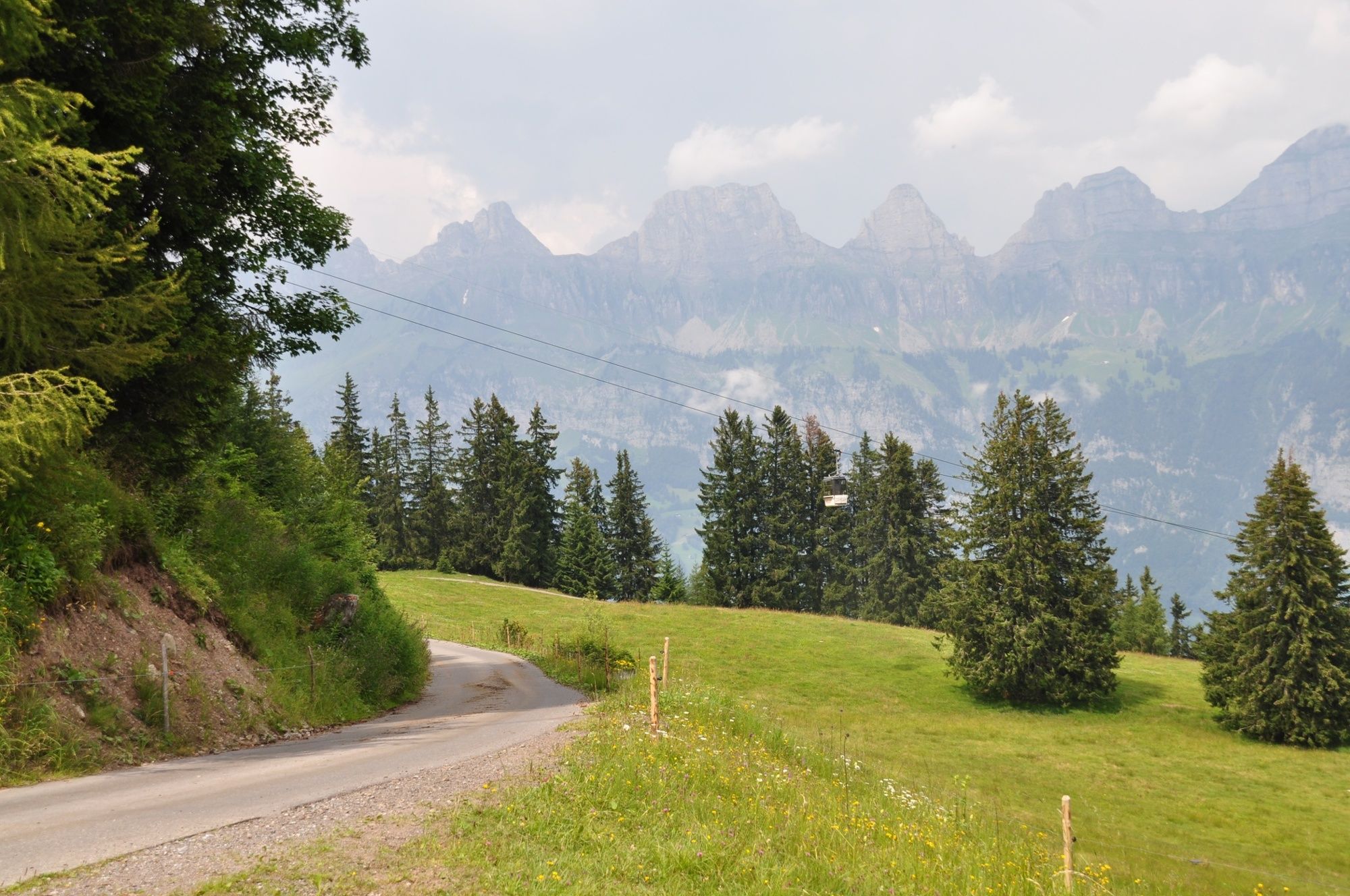
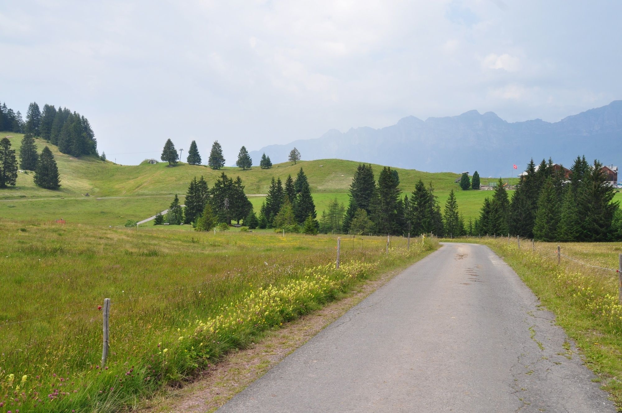
Wonderful views of the Seeztal-Valley and the Churfirsten, a short ascent and a magnificent moorland landscape on the Madils plateau. This is the Cafrida Trail.
- Vaikeus
-
tapa
- Arviointi
-
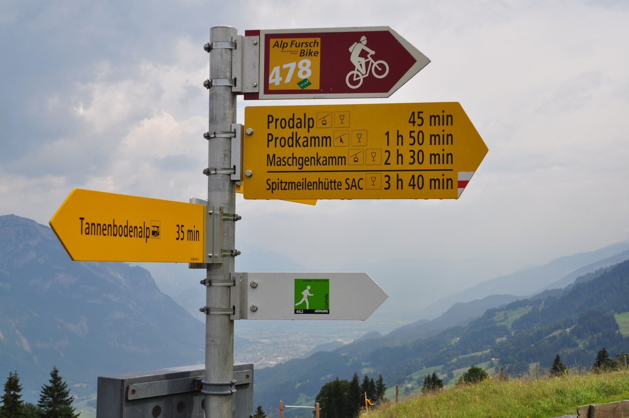
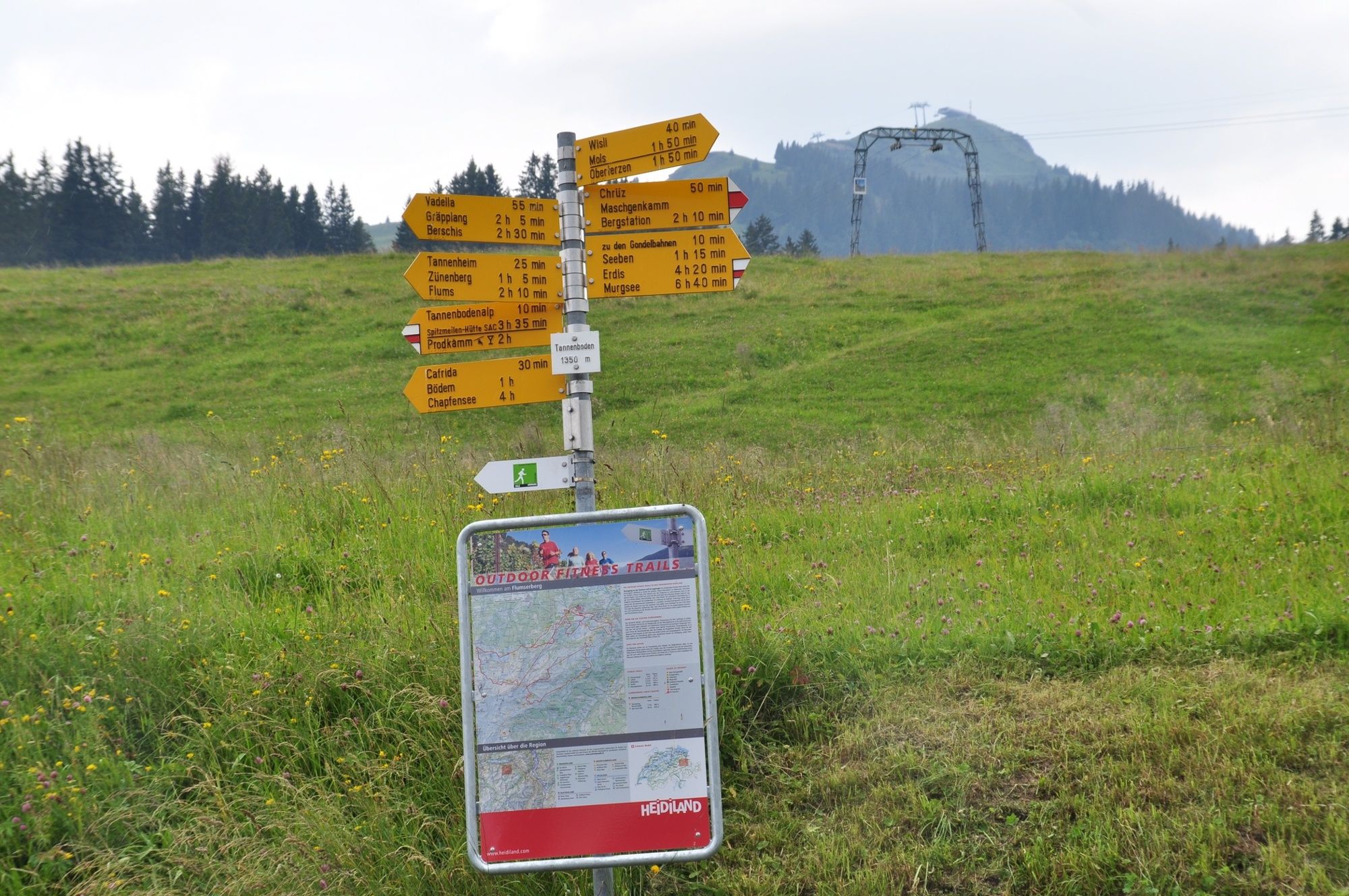
- Reitti
-
Tannenboden (1.344 m)Tannenheim (1.220 m)2,8 kmTannenboden (1.344 m)4,6 km
- Paras kausi
-
tammihelmimaalishuhtitoukokesäheinäelosyyslokamarrasjoulu
- Korkein kohta
- 1.424 m
- Kohde
-
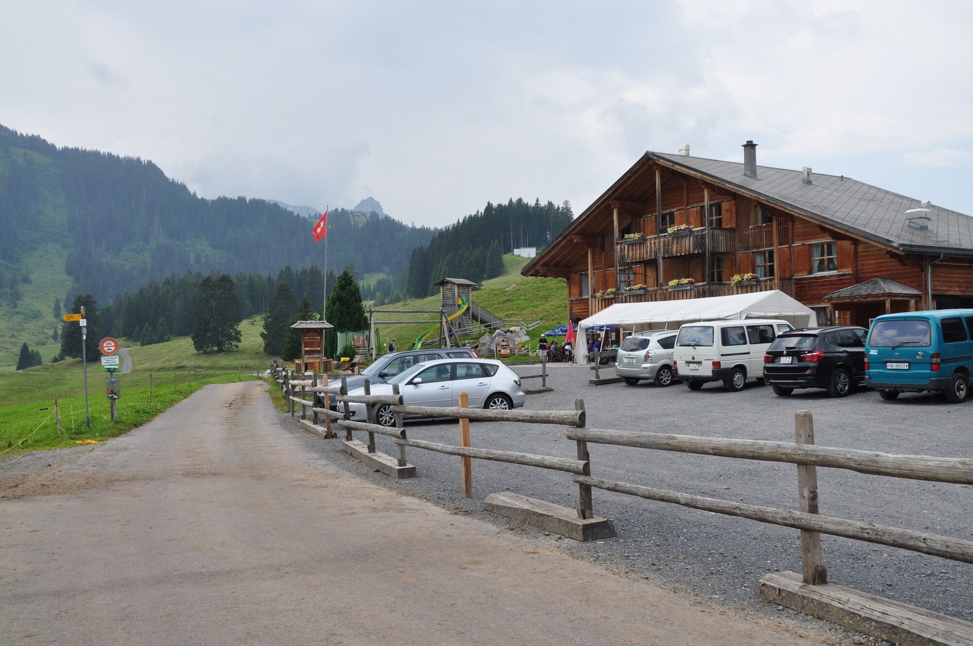
Flumserberg, Infopoint der Station Flumserberg
- Korkeusprofiili
-
 © outdooractive.com
- Kirjoittaja
-
Kiertue Cafrida Trail 462 käyttää outdooractive.com toimitettu.
GPS Downloads


Yleistä tietoa
Virvokepysäkki
Lisää retkiä alueilla
-
Heidiland
49
-
Flumserberg und Umgebung
40
-
Flumserberg
16