
- Lyhyt kuvaus
-
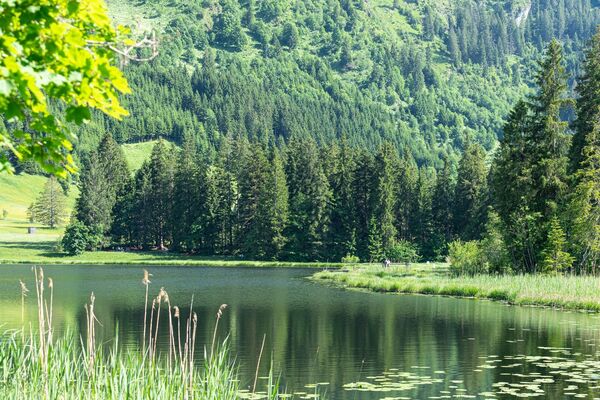
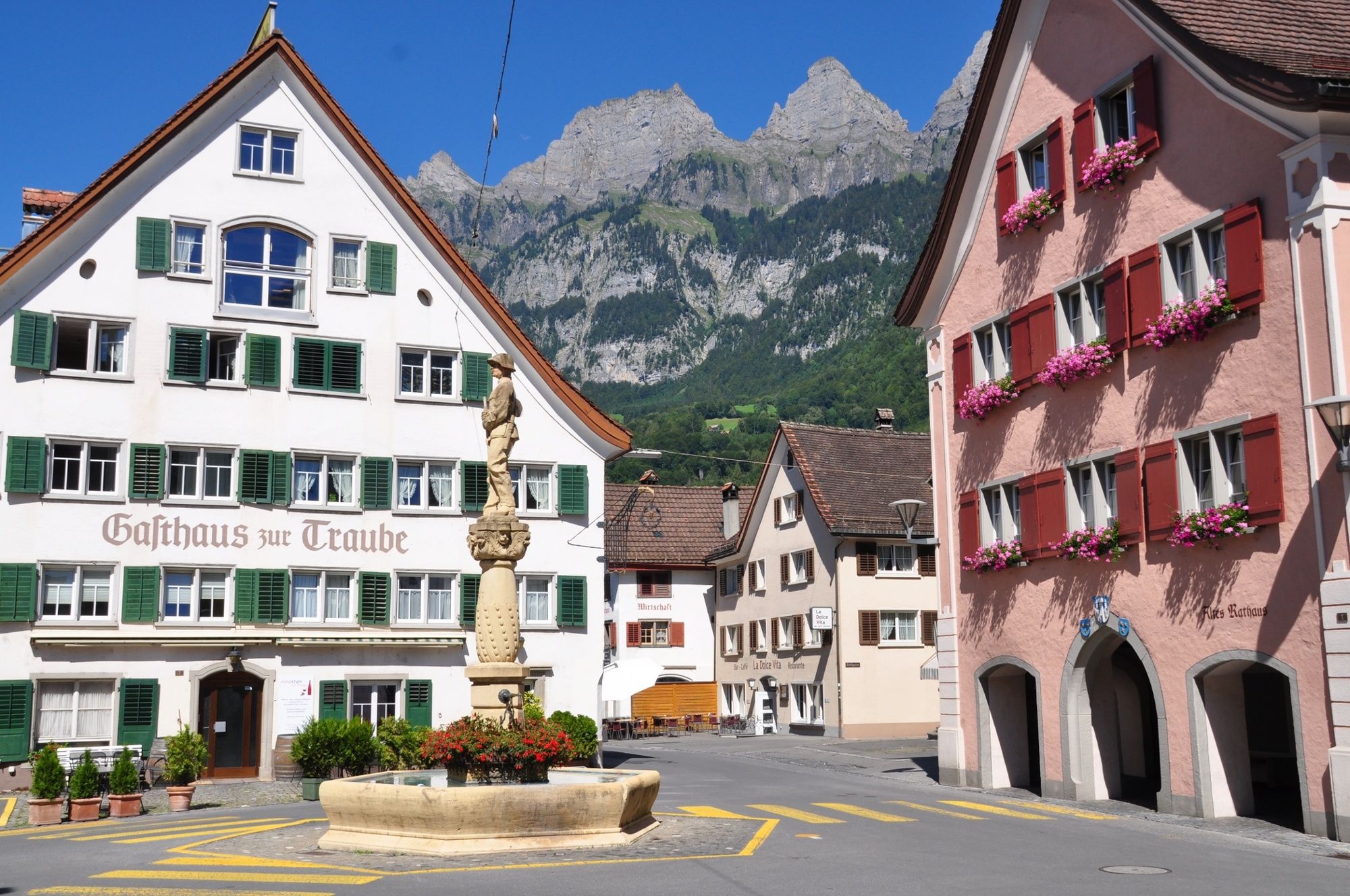
The historic town of Walenstadt, meadows, pastures, forests and Lake Walen. The Raischiben trail combines everything that makes a runner's heart beat faster.
- Vaikeus
-
tapa
- Arviointi
-
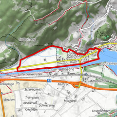
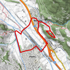
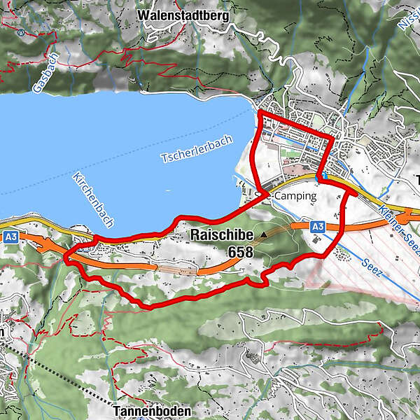
- Reitti
-
Walenstadt (427 m)1,1 kmReformierte Kirche1,2 kmWalenstadt (426 m)1,5 kmGetzi6,3 kmSchifffahrt7,6 kmMols (See) (428 m)7,7 kmMols8,3 km
- Paras kausi
-
tammihelmimaalishuhtitoukokesäheinäelosyyslokamarrasjoulu
- Korkein kohta
- 662 m
- Kohde
-
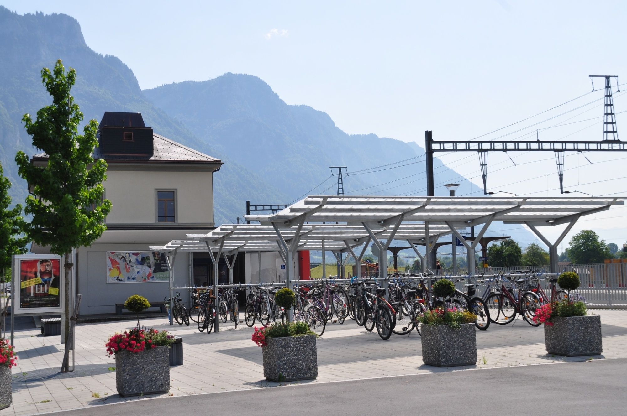
Walenstadt, Infopoint der Station Walenstadt
- Korkeusprofiili
-
 © outdooractive.com


- Kirjoittaja
-
Kiertue Raischiben trail 454 käyttää outdooractive.com toimitettu.
GPS Downloads


Yleistä tietoa
Virvokepysäkki
Lupaava
Lisää retkiä alueilla
-
Heidiland
49
-
Flumserberg und Umgebung
40
-
Mols
17