© Swiss Alpine Adventure - Dave O'Riordan
© Swiss Alpine Adventure - Dave O'Riordan

© Swiss Alpine Adventure - Dave O'Riordan
© Swiss Alpine Adventure - Dave O'Riordan
© Swiss Alpine Adventure - Dave O'Riordan
© Swiss Alpine Adventure - Dave O'Riordan
© Swiss Alpine Adventure - Dave O'Riordan
© Swiss Alpine Adventure - Dave O'Riordan
- Lyhyt kuvaus
-
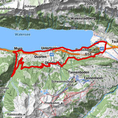
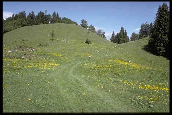
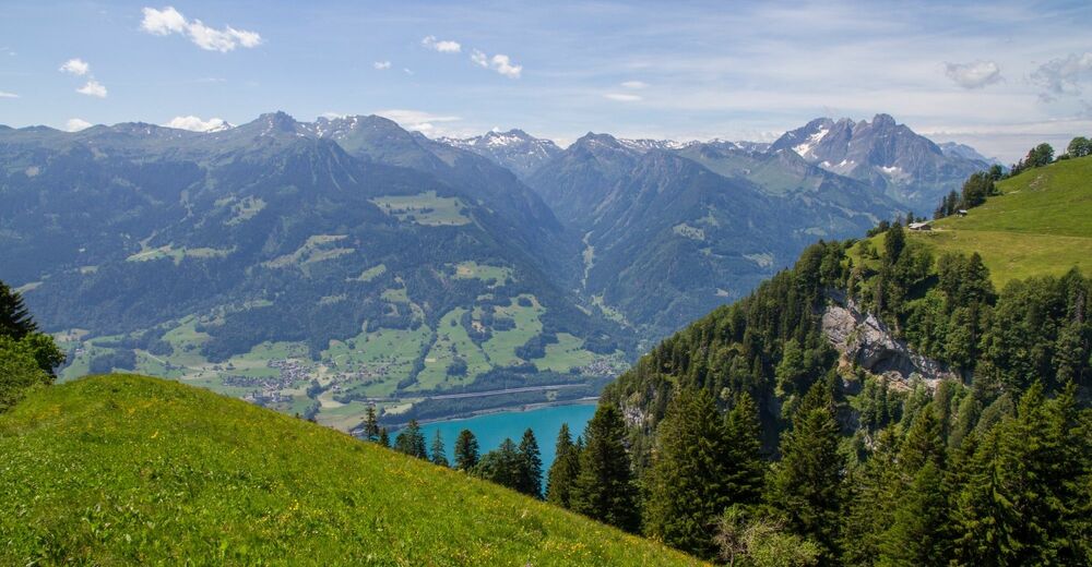
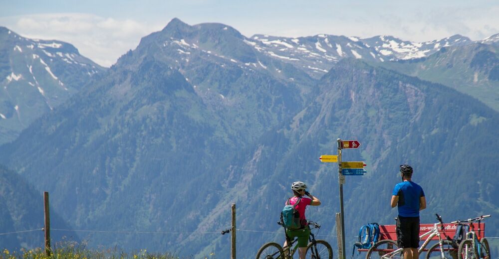
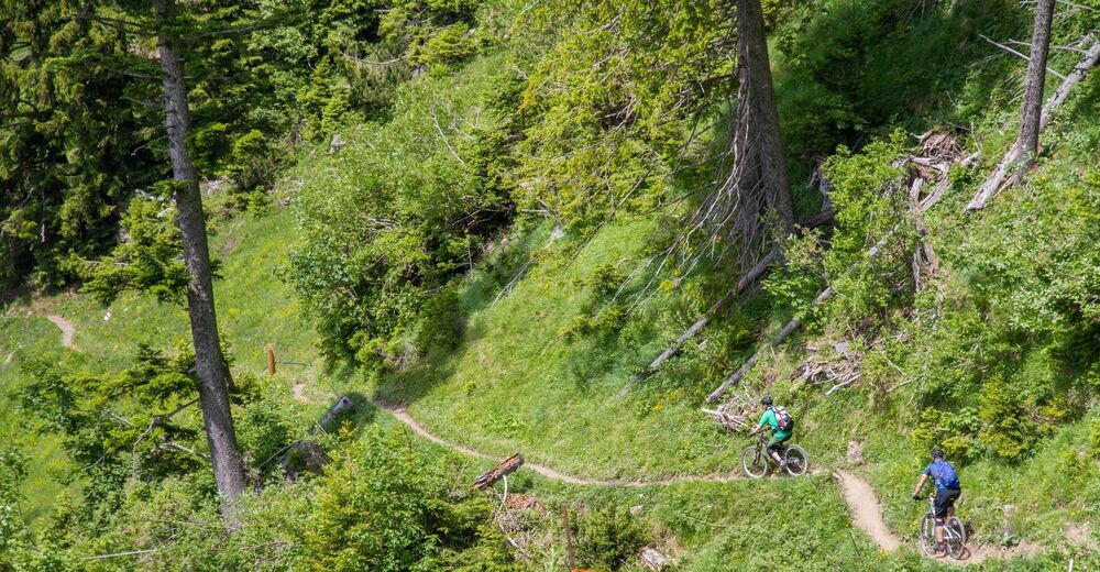
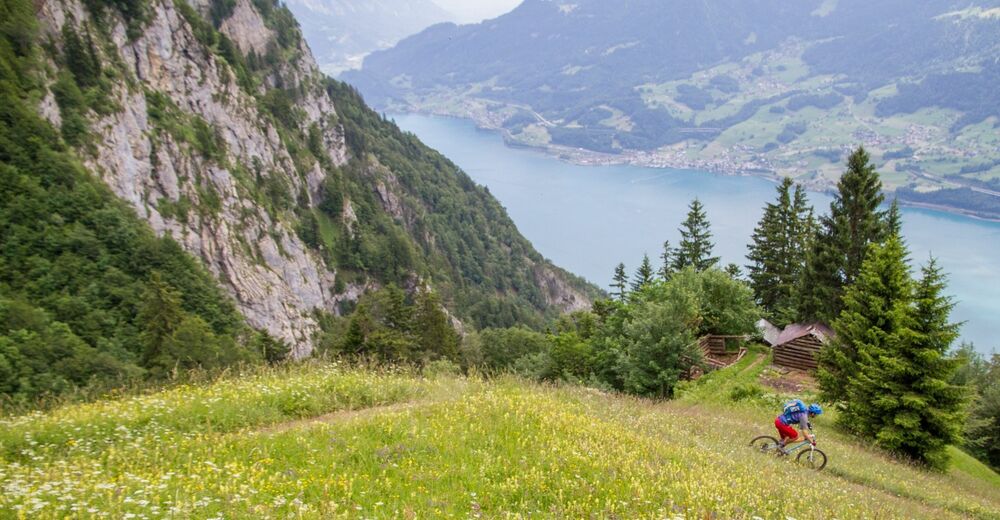
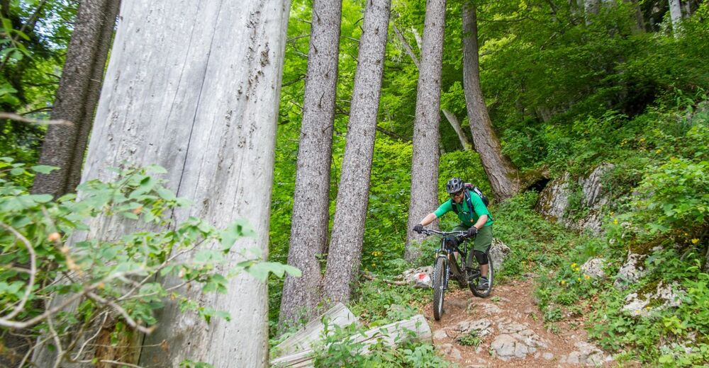
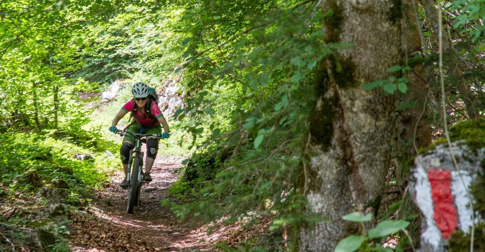
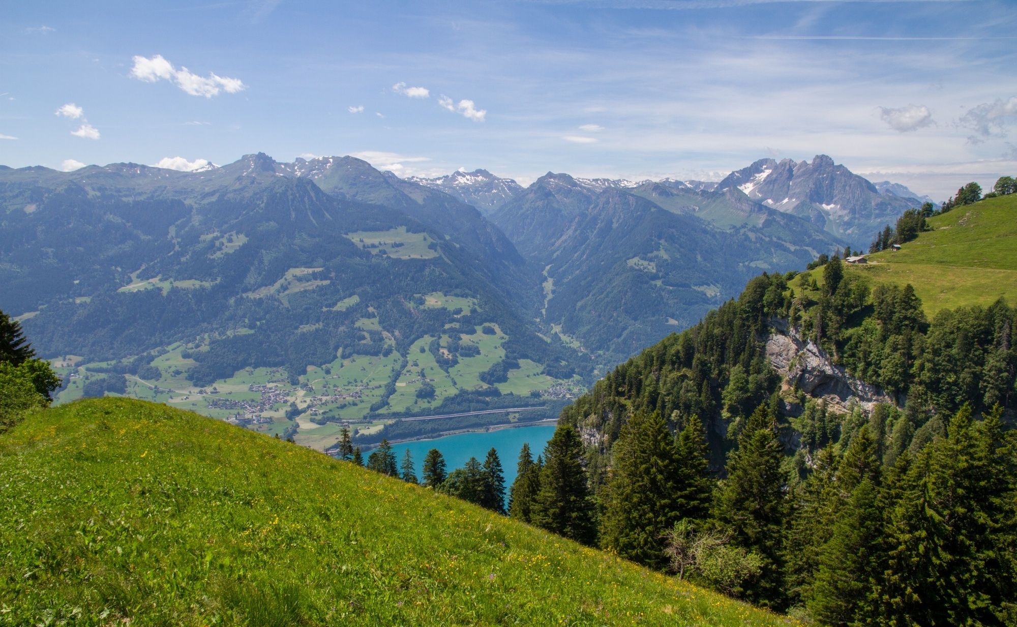
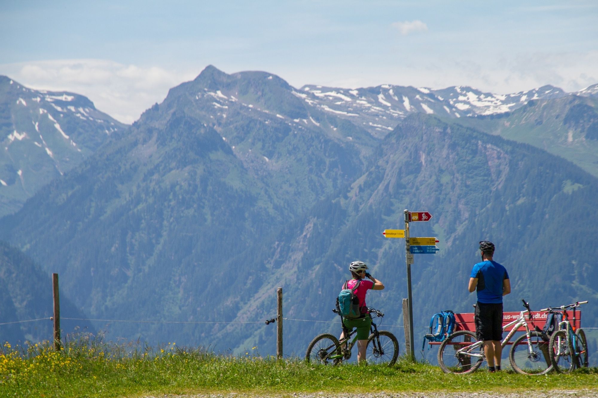
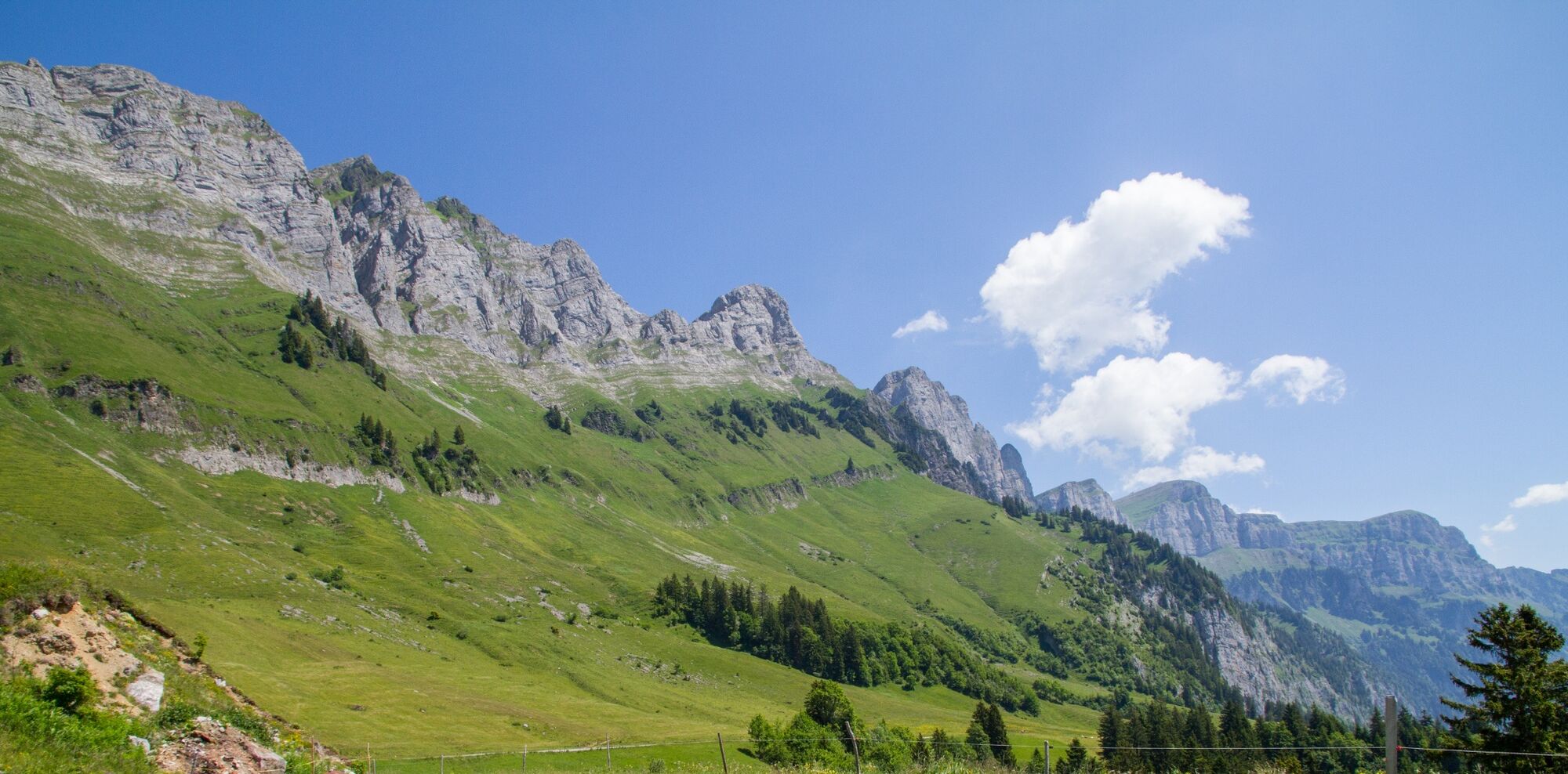
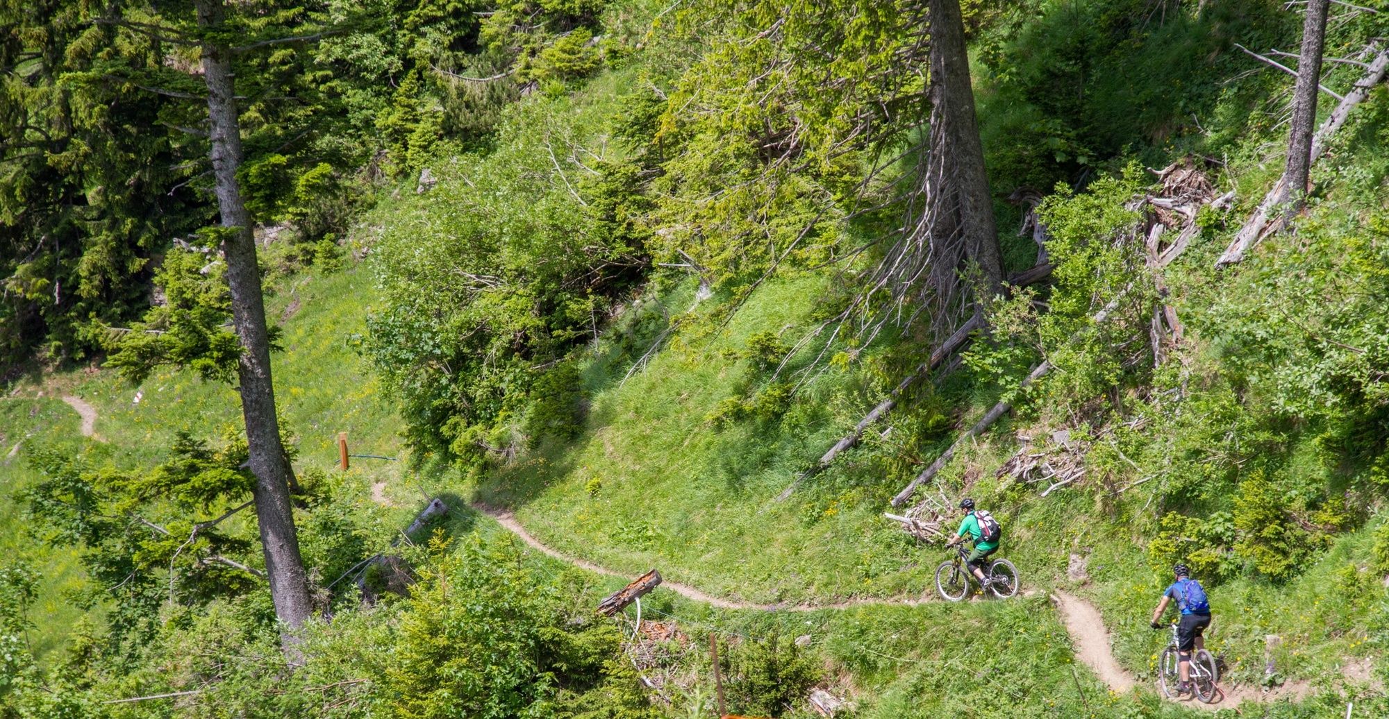
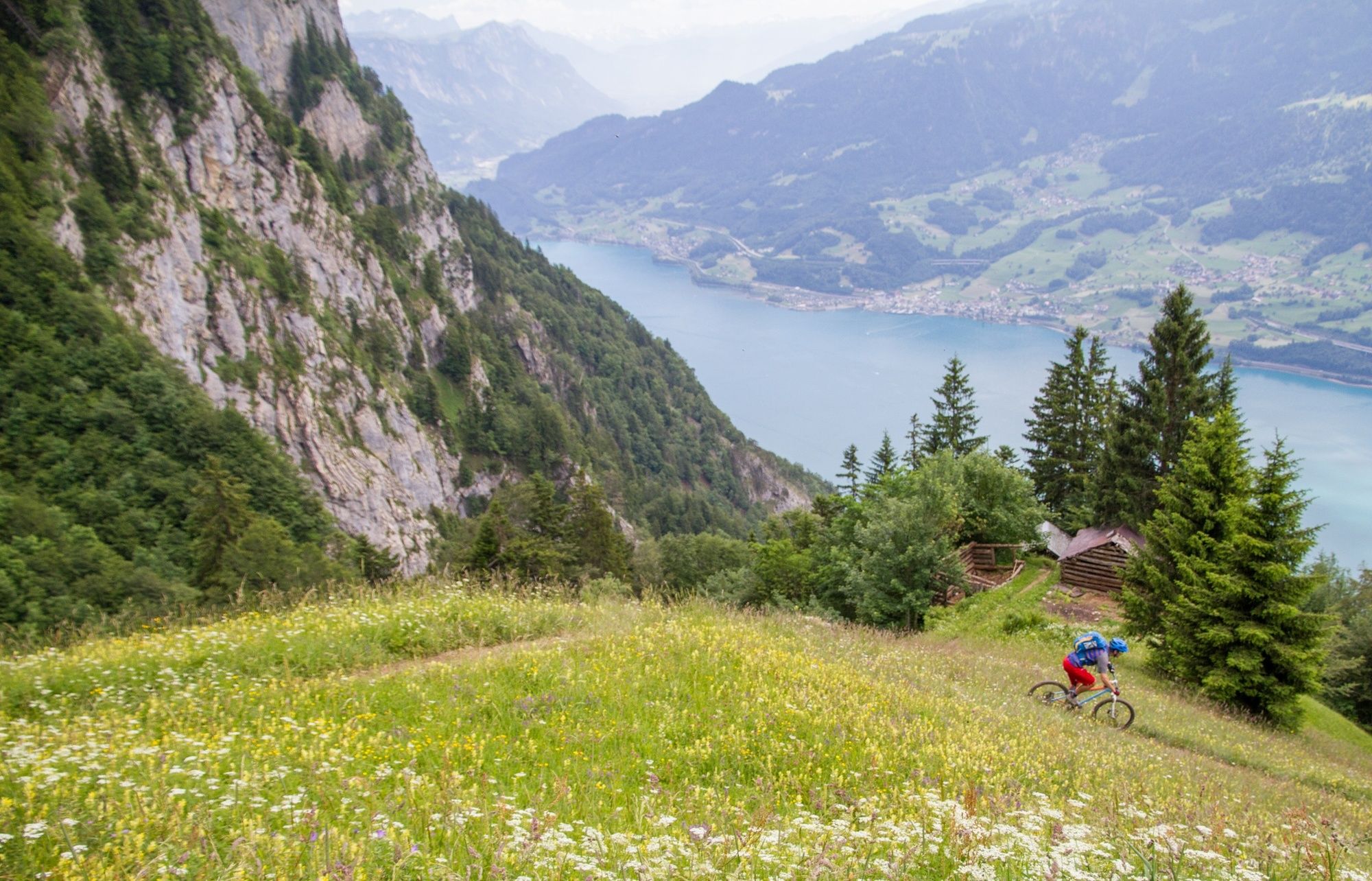
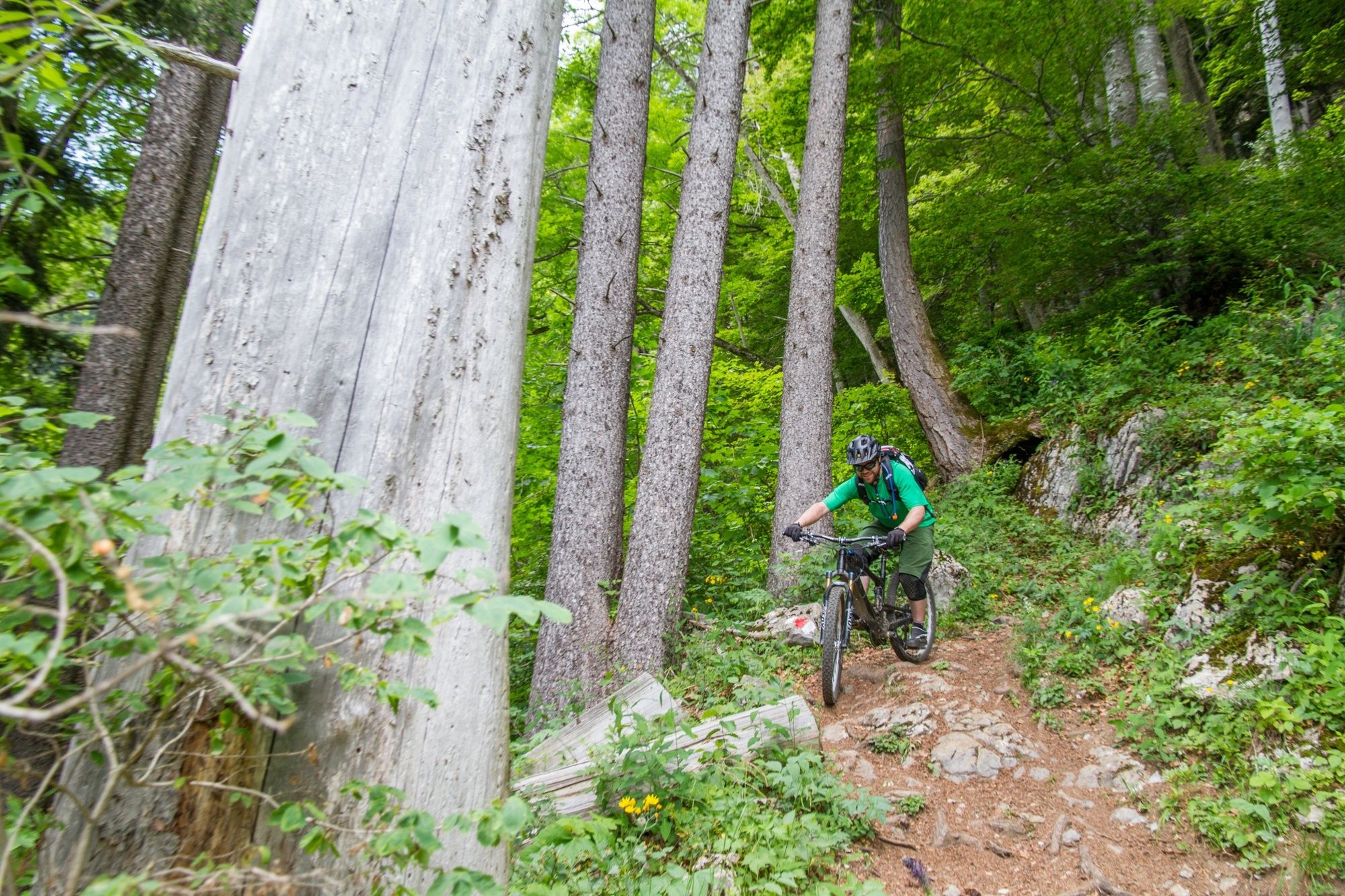
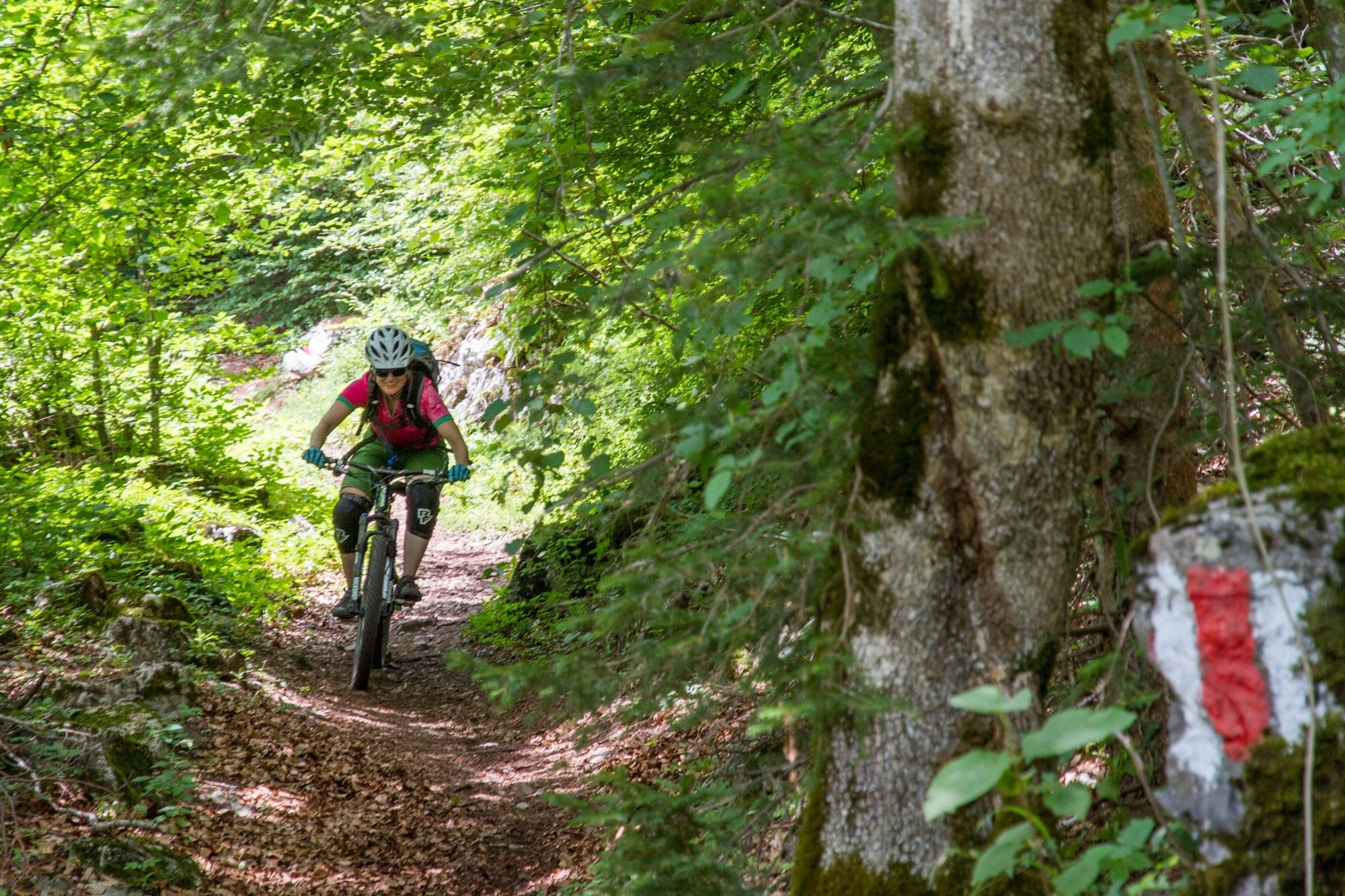
This is a very scenic but physically and technically tough tour under the Churfirsten along the side of Walensee. It climbs approximately 1300m from Walenstadt in one go and then descends to Weesen on some quite technical trails with a feeling of exposure as you look directly down on the lake 1000m below you!
- Vaikeus
-
vaikea
- Arviointi
-
- Reitti
-
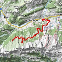
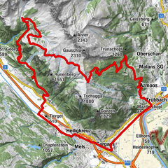
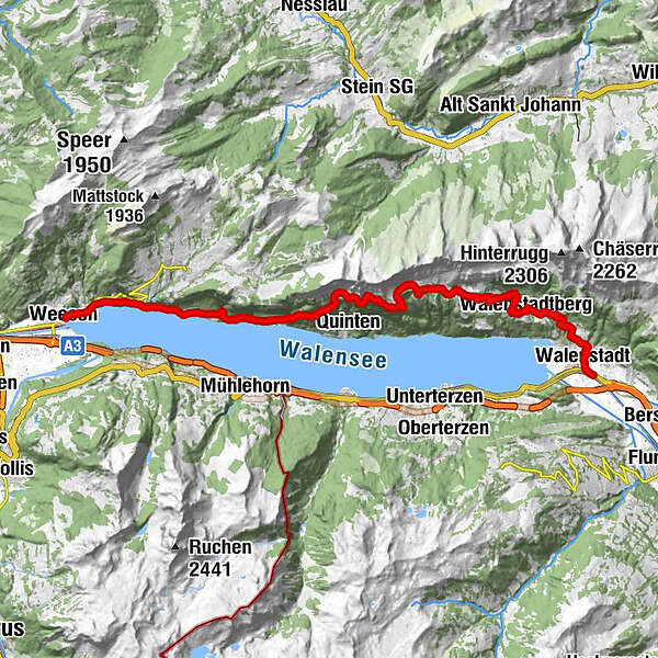
Reformierte Kirche0,2 kmKapelle St. Wolfgang0,7 kmWalenstadt (427 m)0,7 kmRestaurant Stauffacher4,1 kmWalenstadtberg (790 m)4,7 kmKapelle Bruder Klaus4,9 kmRugg-Beizli8,1 kmHag (1540)13,8 kmSeeren19,5 kmWasserfall19,9 kmVorderbetlis20,2 kmBetlis21,1 kmStrahlegg21,3 kmMuslenfall22,2 kmLago Mio23,4 kmWeesen (423 m)25,1 km
- Paras kausi
-
tammihelmimaalishuhtitoukokesäheinäelosyyslokamarrasjoulu
- Korkein kohta
- 1.531 m
- Kohde
-
Betlis
- Korkeusprofiili
-
 © outdooractive.com
-

-
KirjoittajaKiertue Walensee käyttää outdooractive.com toimitettu.
GPS Downloads


Ajoreitit
Trial
Yleistä tietoa
Lupaava