
- Lyhyt kuvaus
-
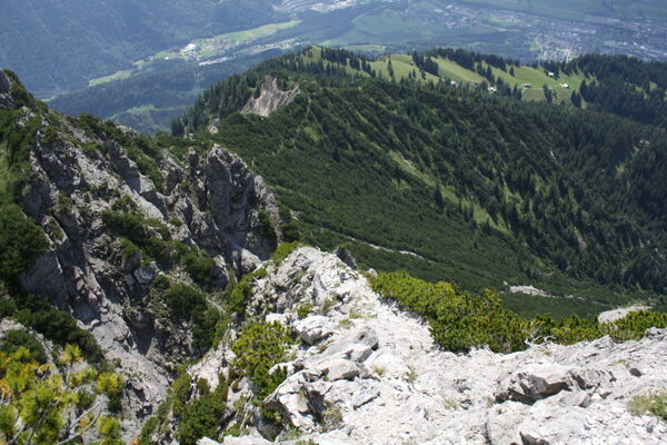
From the top station of the Älpli cable car, the path leads to the Obersäss/Vilan junction, then right along the hiking trail into the road in the direction of Obersäss.
- Vaikeus
-
helppo
- Arviointi
-
- Reitti
-
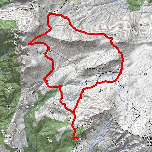
Älplibahn BergrestaurantÄlpli (1.801 m)7,3 kmÄlplibahn Bergrestaurant7,3 km
- Paras kausi
-
tammihelmimaalishuhtitoukokesäheinäelosyyslokamarrasjoulu
- Korkein kohta
- 2.043 m
- Kohde
-
Malans, Bergstation Älplibahn
- Korkeusprofiili
-
 © outdooractive.com

-

-
KirjoittajaKiertue Zuckerstock käyttää outdooractive.com toimitettu.
GPS Downloads


Yleistä tietoa
Virvokepysäkki
Lupaava
Lisää retkiä alueilla
-
Heidiland
2201
-
Bündner Herrschaft
1202
-
Jenins
221