© Schaffhauserland Tourismus, Fotograf: Bruno Sternegg

© Schaffhauserland Tourismus

© Schaffhauserland Tourismus, Fotograf: Bruno Sternegg

© Schaffhauserland Tourismus - Schaffhauserland Tourismus / Bruno Sternegg

© Schaffhauserland Tourismus - Schaffhauserland Tourismus / Bruno Sternegg

© schaffhauserland-tourismus

© schaffhauserland-tourismus

© Schweiz Tourismus - Andre Meier

© Schaffhauserland Tourismus - Switzerland Tourism / Ivo Scholz
- Lyhyt kuvaus
-
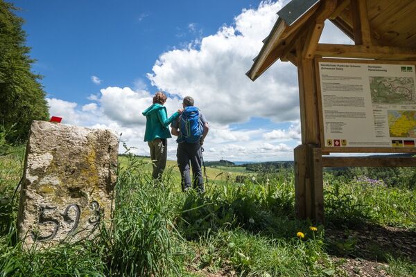
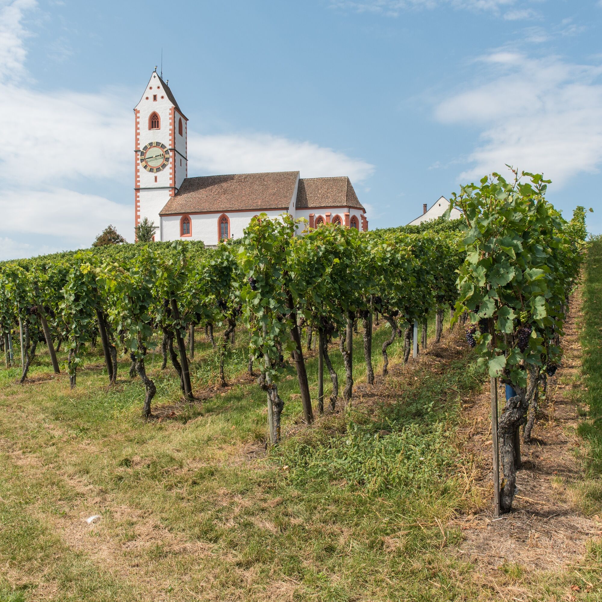
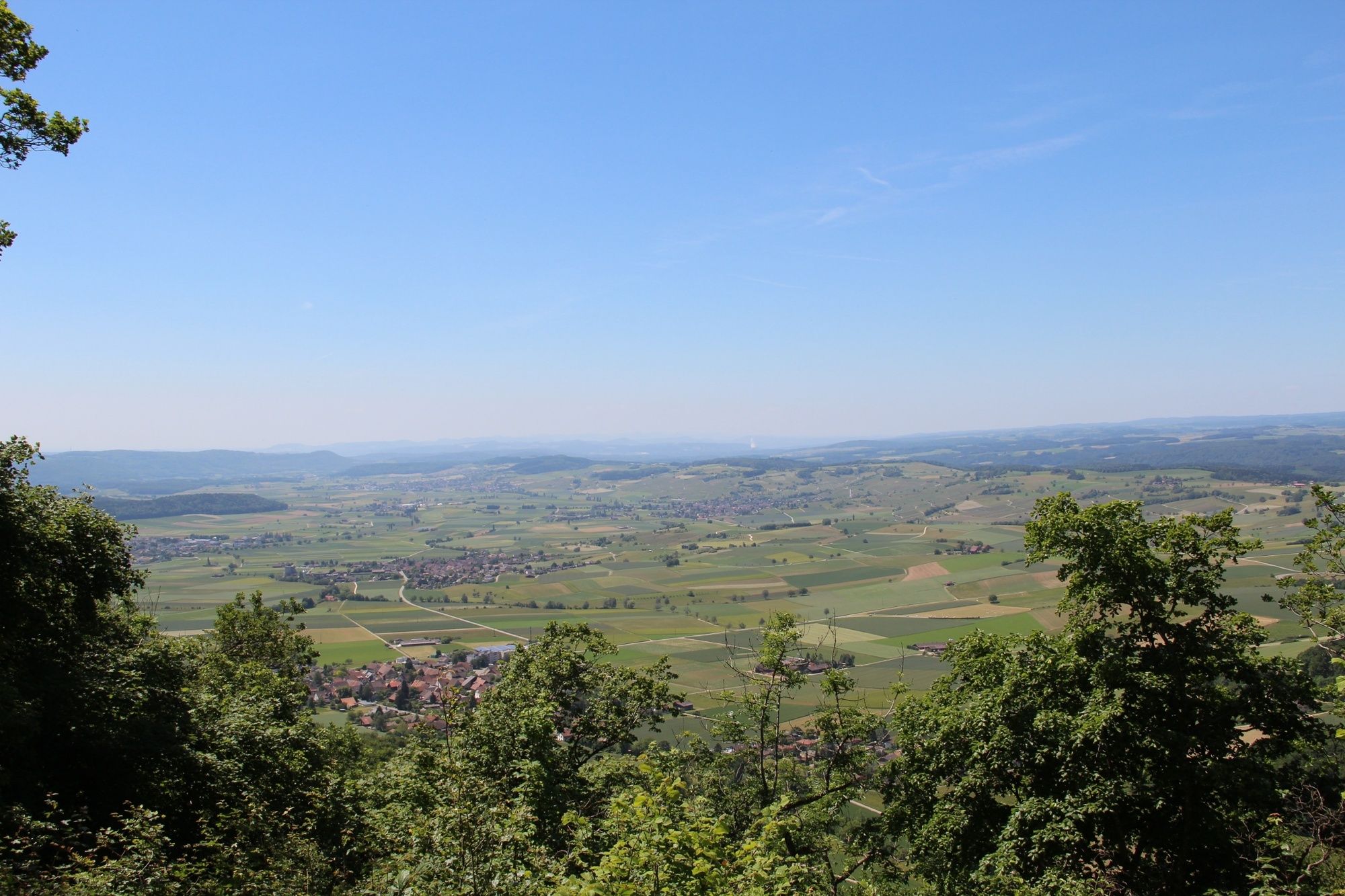
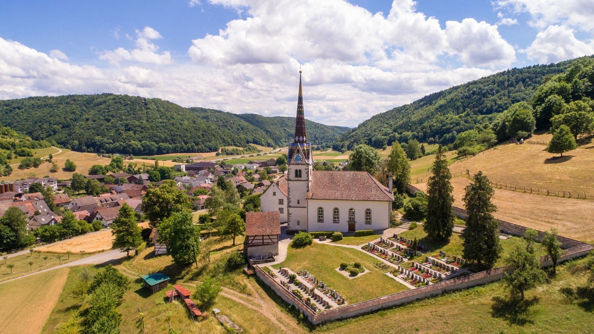
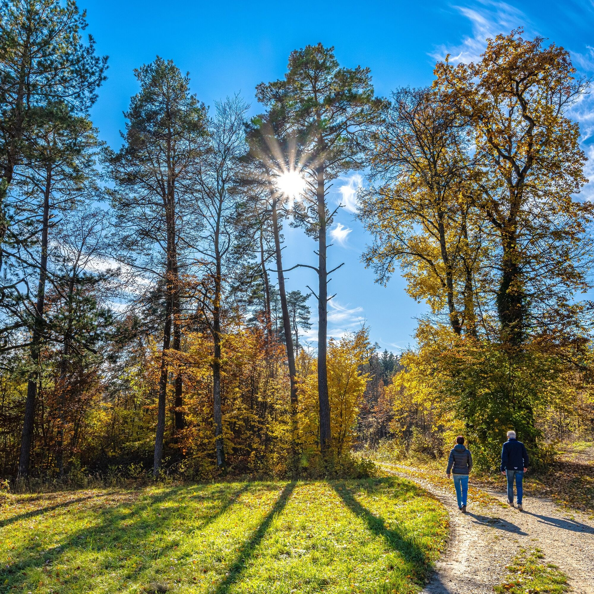
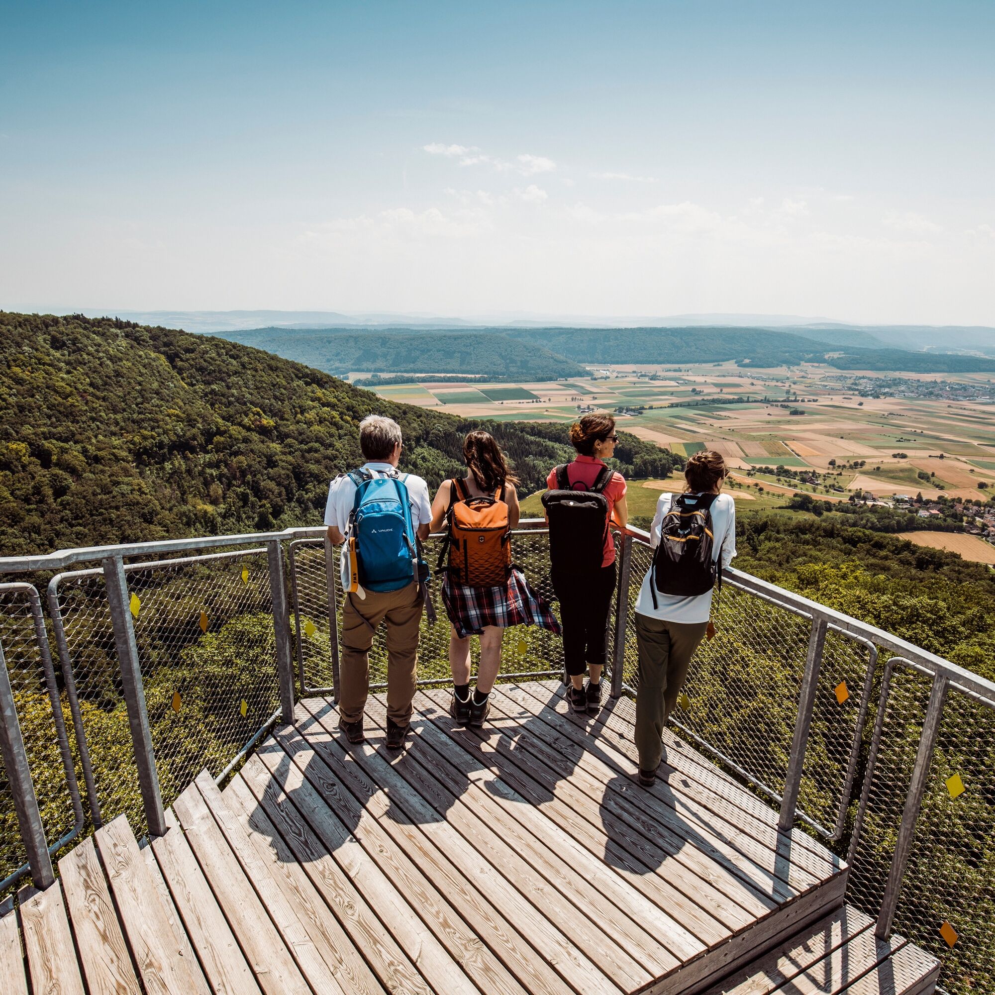
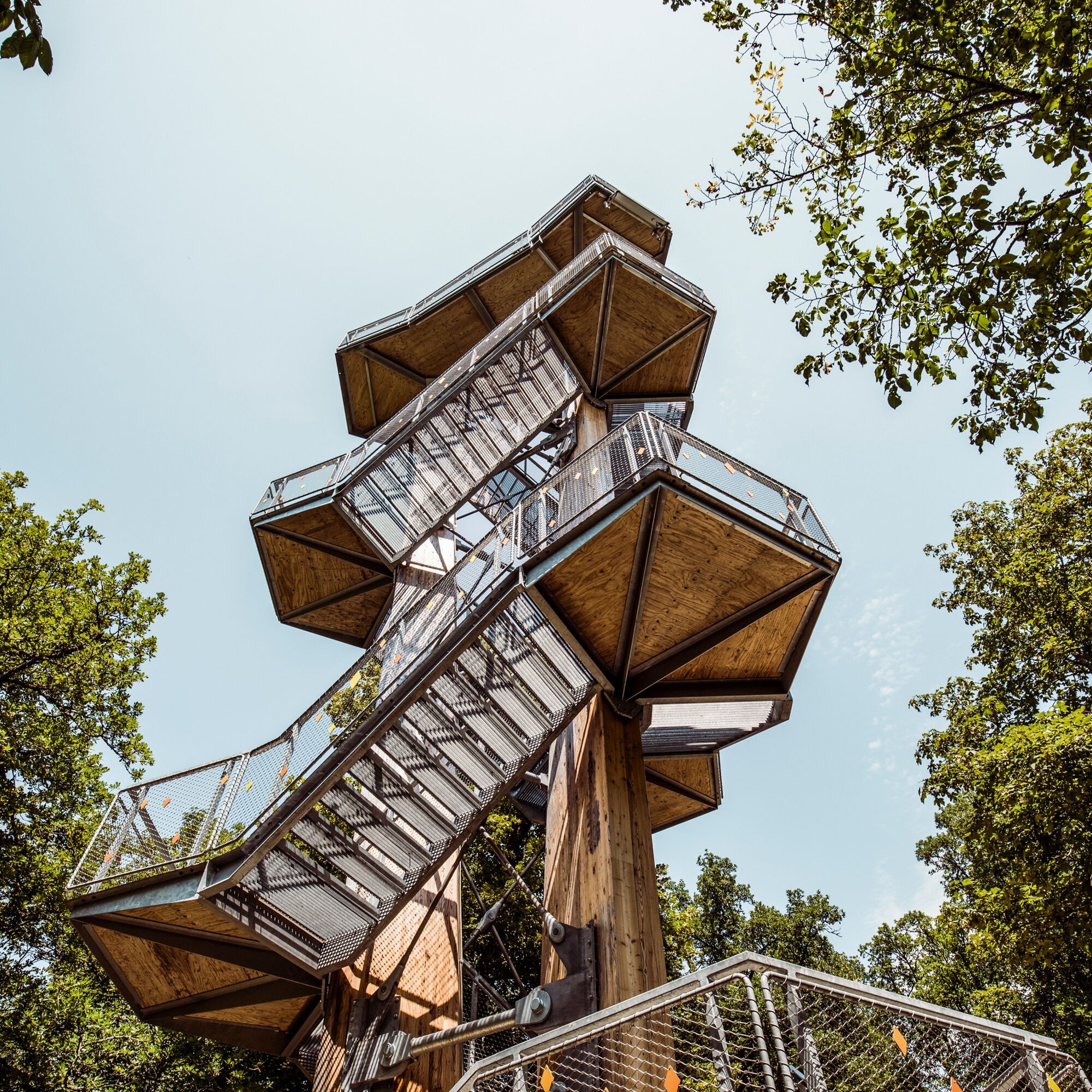
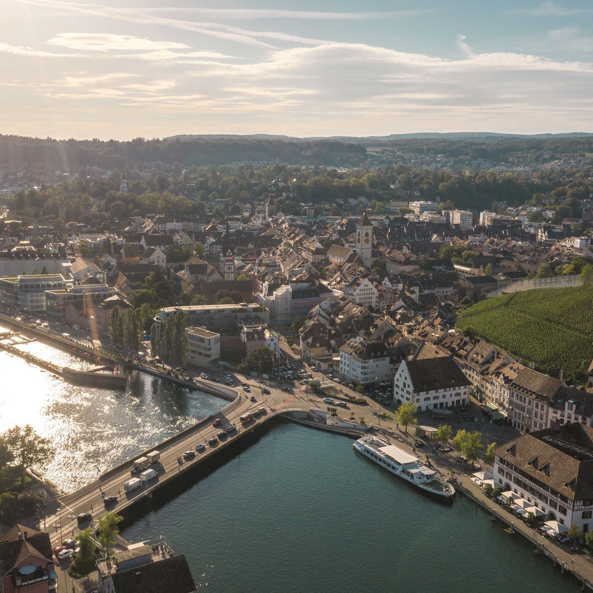
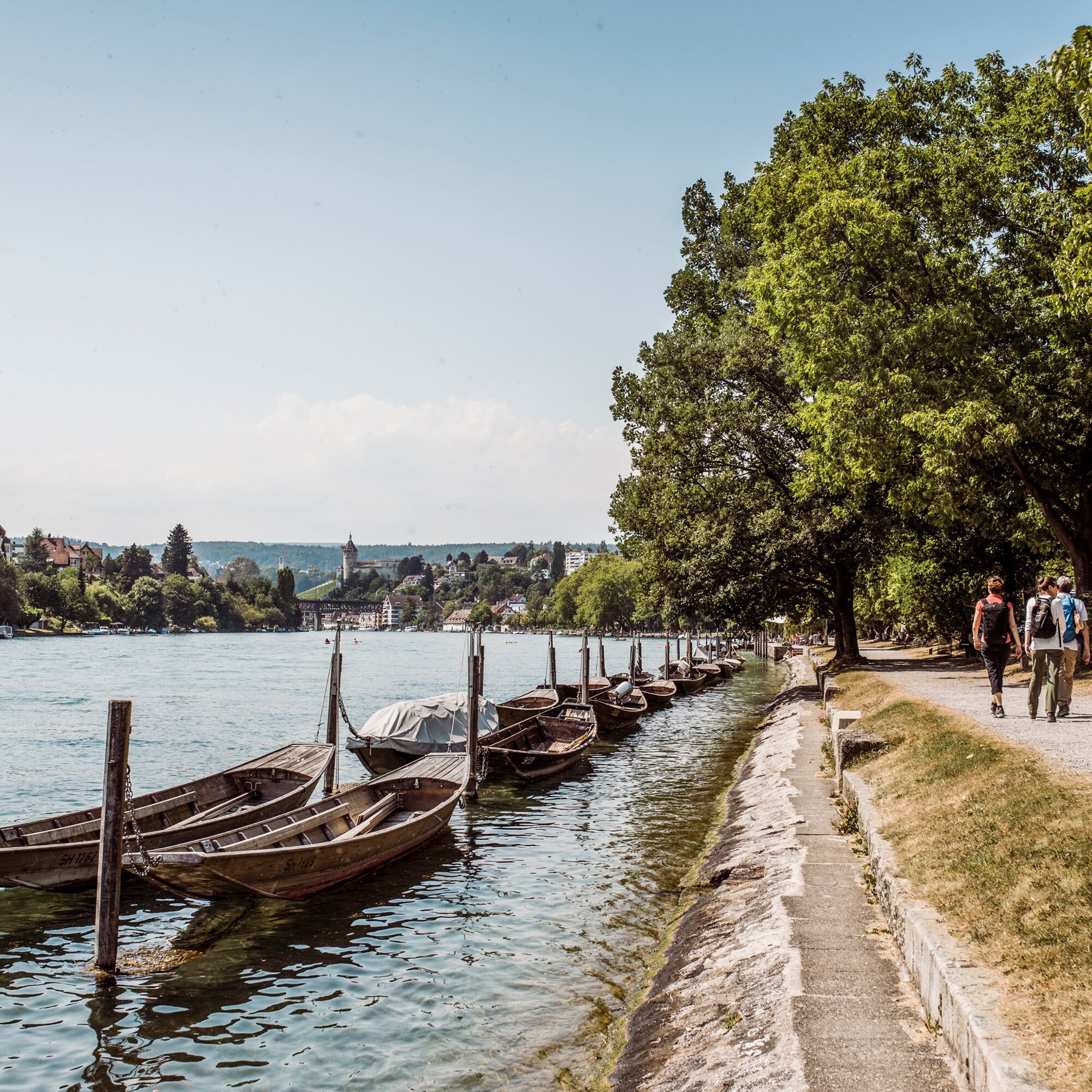
This two-day hike leads from the Schaffhausen Blauburgunderland through the cultural landscape of the Randen to the medieval town of Schaffhausen.
- Vaikeus
-
vaikea
- Arviointi
-
- Reitti
-
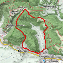
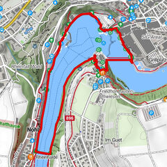
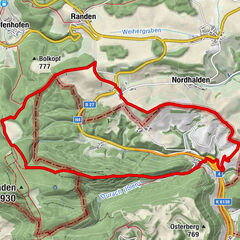
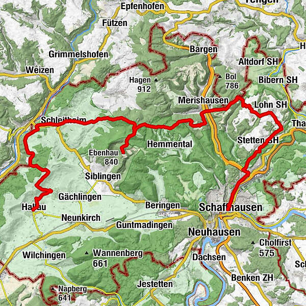
Hallau (421 m)0,0 kmRathauskeller0,2 kmTrattoria La Calabrisella0,2 kmGolderaa1,2 kmOberhallau (430 m)2,1 kmGasthaus Post11,3 kmSchleitheim (467 m)11,5 kmGasthaus zur Brauerei11,8 kmRef. Kirche Schleitheim12,0 kmStrickhof14,2 kmWaldwirtschaft Schlossranden16,2 kmEbenhau (840 m)19,5 kmBuechberghuus26,2 kmChörblihaalde29,0 kmBeiz Büttenhardt30,7 kmBüttenhardt (658 m)32,6 kmSternen34,0 kmLohn SH (632 m)34,1 kmStetten SH (563 m)37,5 kmMos-Buck38,2 kmSt. Peter40,0 kmSandlöchli, TTM Gastro40,2 kmSchaffhausen (404 m)43,1 kmSchaffhausen (403 m)43,3 km
- Paras kausi
-
tammihelmimaalishuhtitoukokesäheinäelosyyslokamarrasjoulu
- Korkein kohta
- 883 m
- Kohde
-
Schaffhausen
- Korkeusprofiili
-
 © outdooractive.com

- Kirjoittaja
-
Kiertue SwitzerlandMobility 34: Klettgau-Rhine Trail käyttää outdooractive.com toimitettu.
GPS Downloads
Yleistä tietoa
Virvokepysäkki
Kulttuuri/Historiallinen
Lupaava
Lisää retkiä alueilla
-
SchaffhauserLand
1027
-
Randen
547
-
Hemmental
167