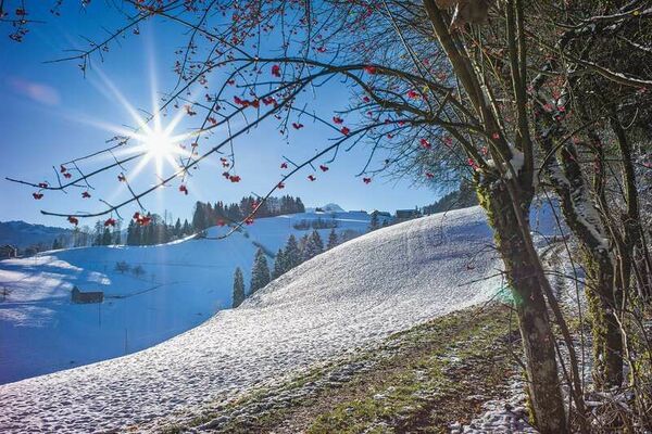
© Appenzellerland Tourismus AR - Jana Bacher
© Appenzellerland Tourismus AR - Jana Bacher
- Lyhyt kuvaus
-
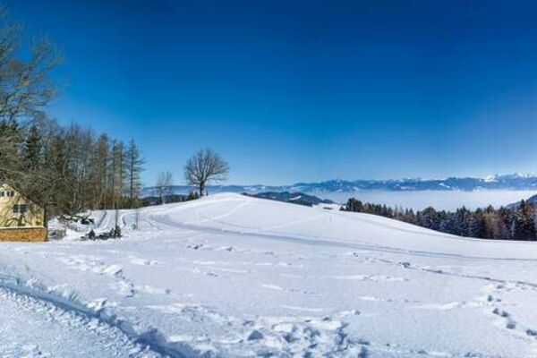
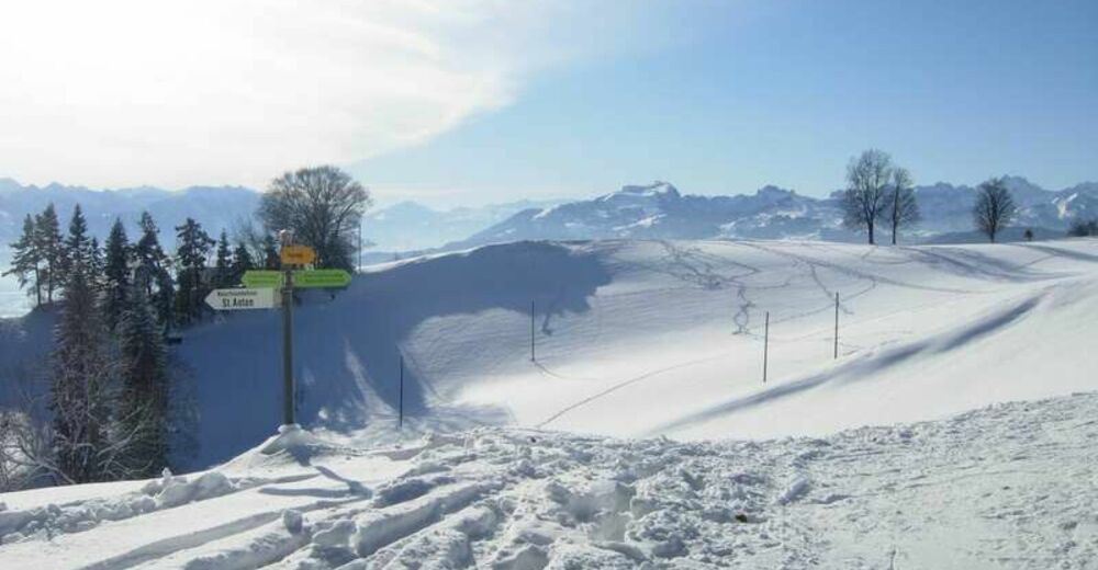
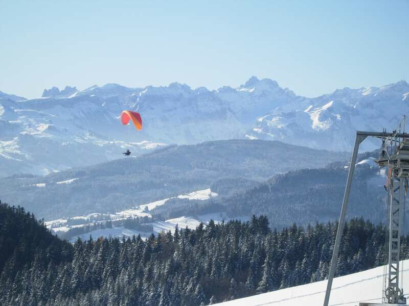
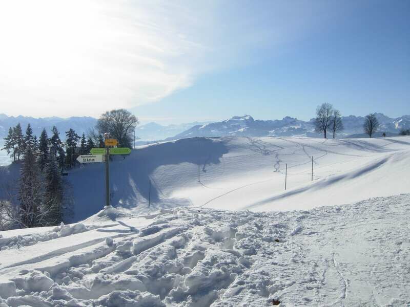
Beautiful route around the St. Anton area with magnificent views of Lake Constance, the Rhine Valley and the Alpstein area.
- Vaikeus
-
tapa
- Arviointi
-
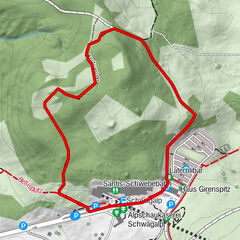
- Reitti
-
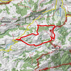
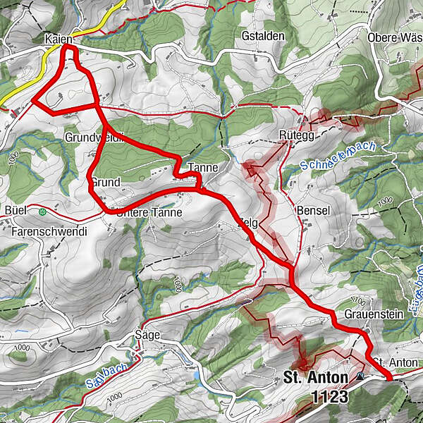
St. AntonKapelle St. AntonSt. Anton (1.123 m)0,1 kmZelg1,3 kmTanne1,8 kmKaien3,2 kmRössli3,2 kmSonne3,6 kmGrundweidli4,2 kmGrund4,6 kmUntere Tanne5,0 kmZelg5,8 kmSt. Anton (1.123 m)7,0 kmKapelle St. Anton7,1 kmSt. Anton7,1 km
- Paras kausi
-
elosyyslokamarrasjoulutammihelmimaalishuhtitoukokesäheinä
- Korkein kohta
- 1.106 m
- Kohde
-
St. Anton
- Korkeusprofiili
-
 © outdooractive.com
- Kirjoittaja
-
Kiertue Panoramic view St. Anton käyttää outdooractive.com toimitettu.
GPS Downloads


Yleistä tietoa
Virvokepysäkki
Lupaava
Lisää retkiä alueilla