Retkitiedot
29,41km
893
- 1.648m
1.235hm
1.199hm
03:33h

- Lyhyt kuvaus
-
Tour basiert auf den Touren 7+6 von Peter Vogt
(Info über Ceaglio in Mamora)
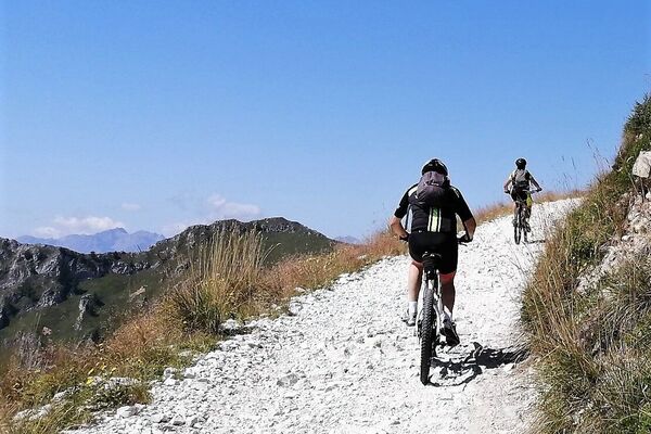
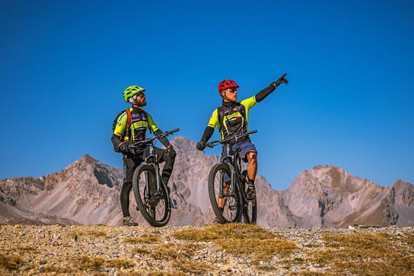
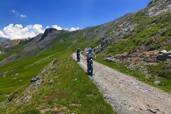
Rasante Downhill-Passagen
Etwas knifflige Querung zum ... (T7)
Aufstieg zum Coletta ... (T6) anstrengend (grob steiniger Pfad) - Vaikeus
-
tapa
- Arviointi
-
- Reitti
-
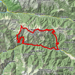
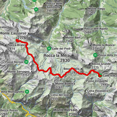
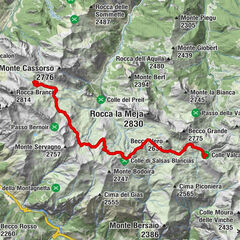
MarmoraVernetti (1.230 m)0,0 kmOsteria Croce Bianca0,1 kmBrieis (1.415 m)2,0 kmSoda (1.460 m)2,6 kmSanta Maria3,1 kmBorgata Superiore (1.524 m)3,1 kmStroppo11,3 kmSan Bartolomeo14,6 kmLa Gentil Locanda14,6 kmPonte Marmora14,6 kmPrazzo inferiore17,1 kmPrazzo superiore18,4 kmPrazzo18,6 kmFrazione di San Giovanni25,8 kmParrocchiale della Natività di Maria Santissima27,5 kmCanosio27,6 kmL'Ubac27,7 kmVernetti (1.230 m)29,2 kmMarmora29,3 kmOsteria Croce Bianca29,3 km
- Korkein kohta
- 1.648 m
GPS Downloads


Lisää retkiä alueilla
-
Valle Maira
28
-
Valle Grana
9
-
Marmora
5