
- Lyhyt kuvaus
-
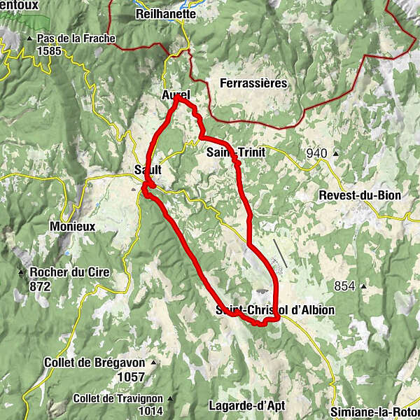
Distance 20,5 miles - average level - marked circuit - departure/parking place de la Promenade at Sault.
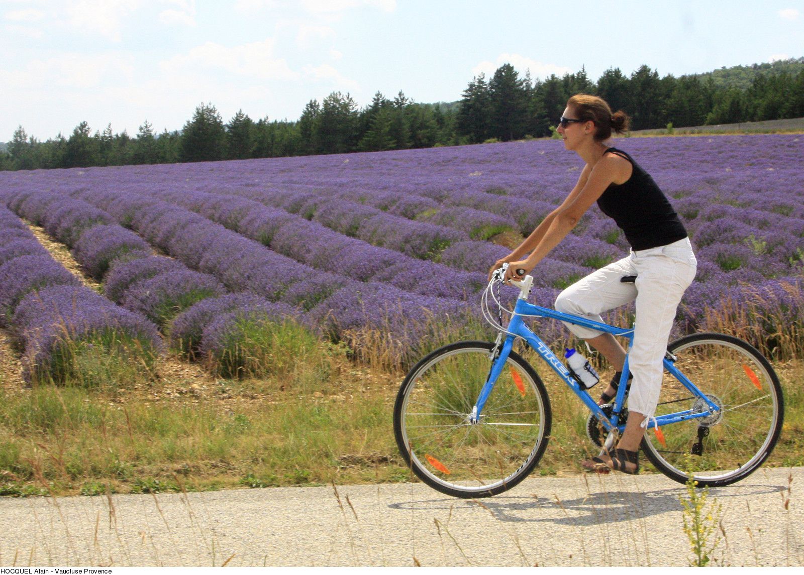
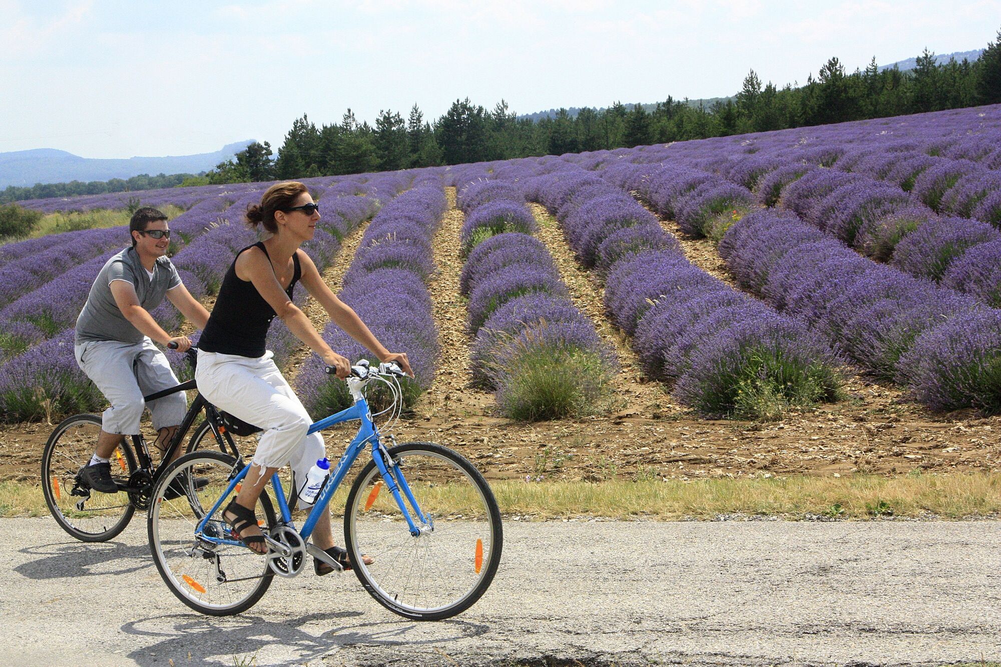
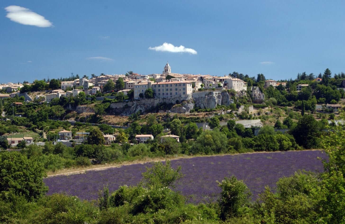
The vast Sault highlands, the splendid views over Mont Ventoux and Lure mountain, the fields of lavender and spelt. - Vaikeus
-
tapa
- Arviointi
-
- Reitti
-
Sault0,0 kmRelais du Ventoux4,7 kmAurel4,7 kmÉglise Saint-Aurèle5,0 kmSaint-Trinit10,2 kmBistrot de pays10,2 kmLa Palombiere18,6 kmSaint-Christol d'Albion19,1 kmSault32,6 km
- Paras kausi
-
tammihelmimaalishuhtitoukokesäheinäelosyyslokamarrasjoulu
- Korkein kohta
- 1.011 m
- Kohde
-
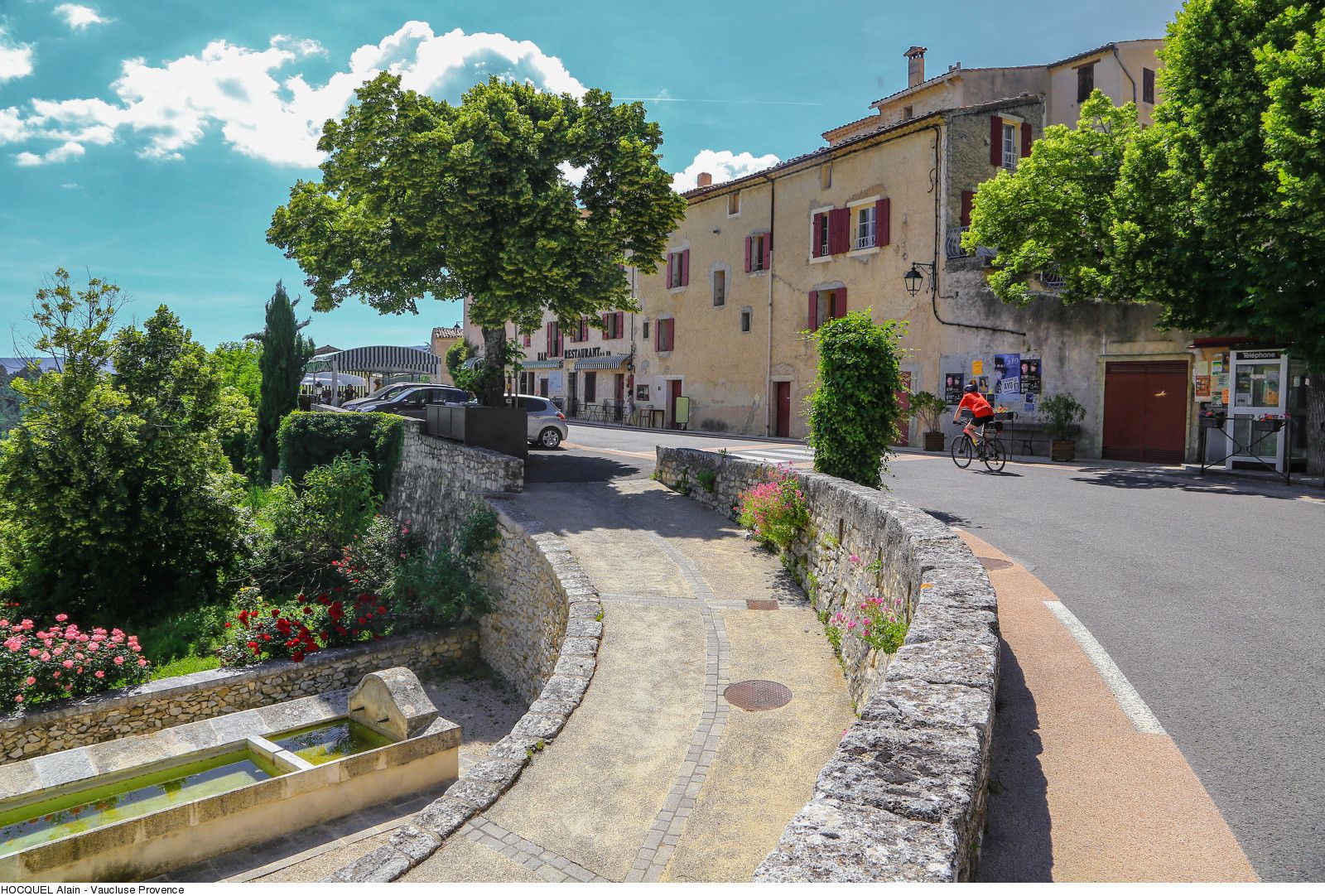
Sault
- Korkeusprofiili
-
 © outdooractive.com
- Kirjoittaja
-
Kiertue 23 - The Plateau de Sault by bike käyttää outdooractive.com toimitettu.