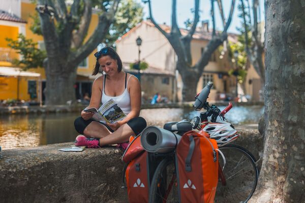
© Vaucluse Provence - COQUARD Maxime
© Vaucluse Provence - COQUARD Maxime
© Vaucluse Provence - COQUARD Maxime

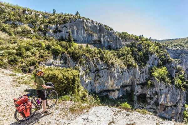
© J.Abellan-VLP

© J.Abellan-VLP

© J.Abellan-VLP

© J.ABELLAN -VLP


- Lyhyt kuvaus
-
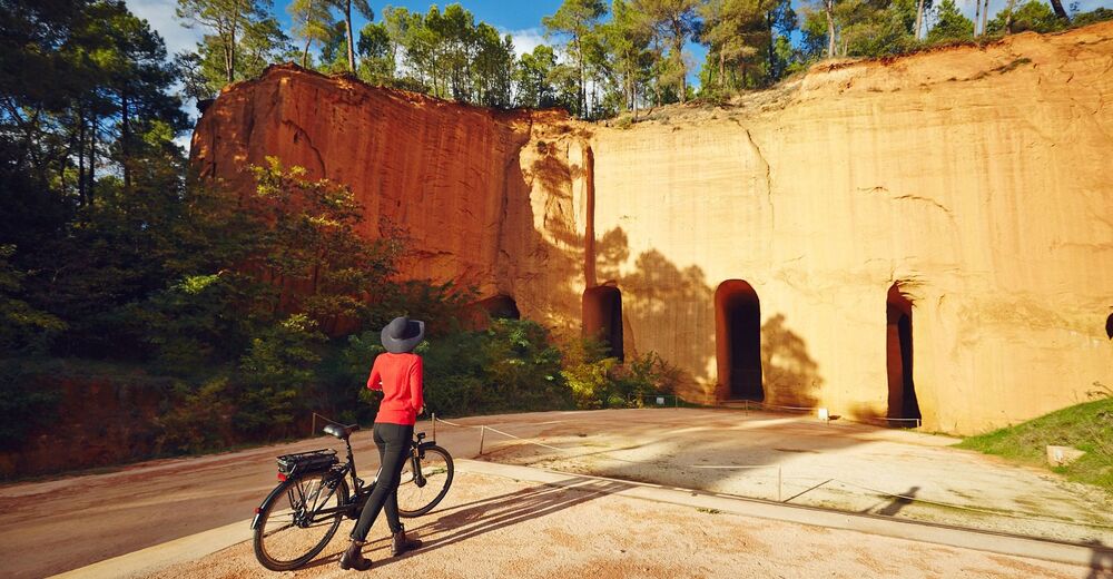
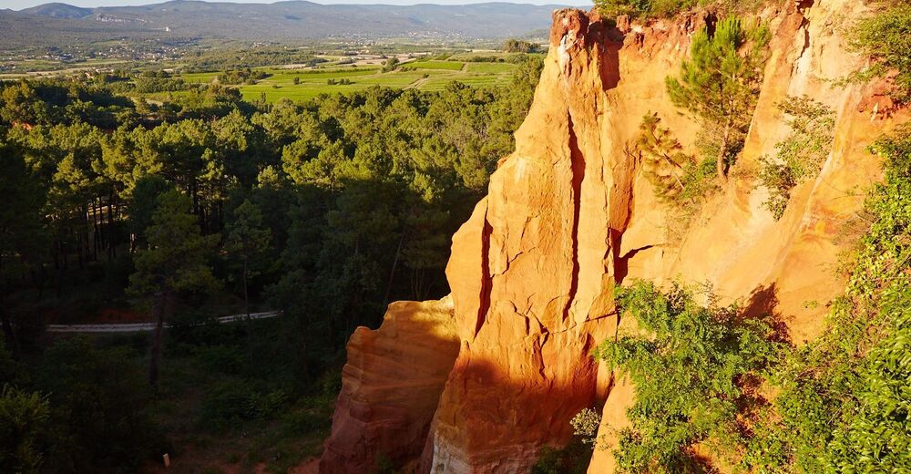
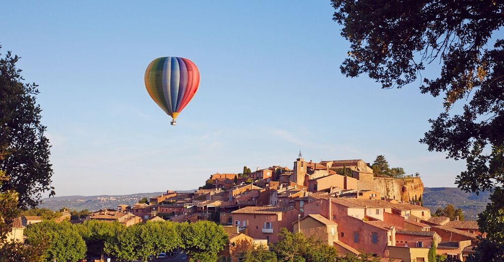
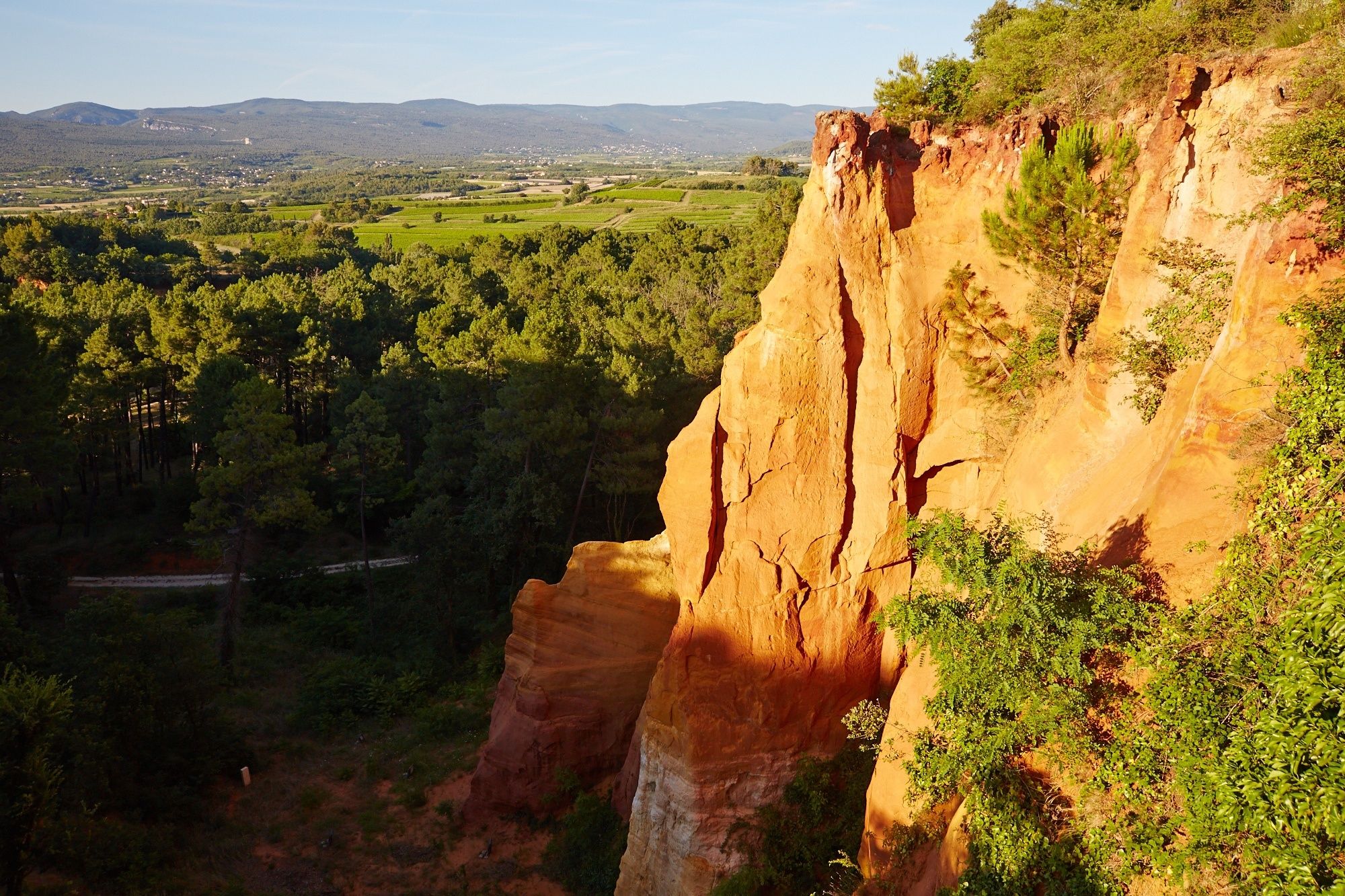
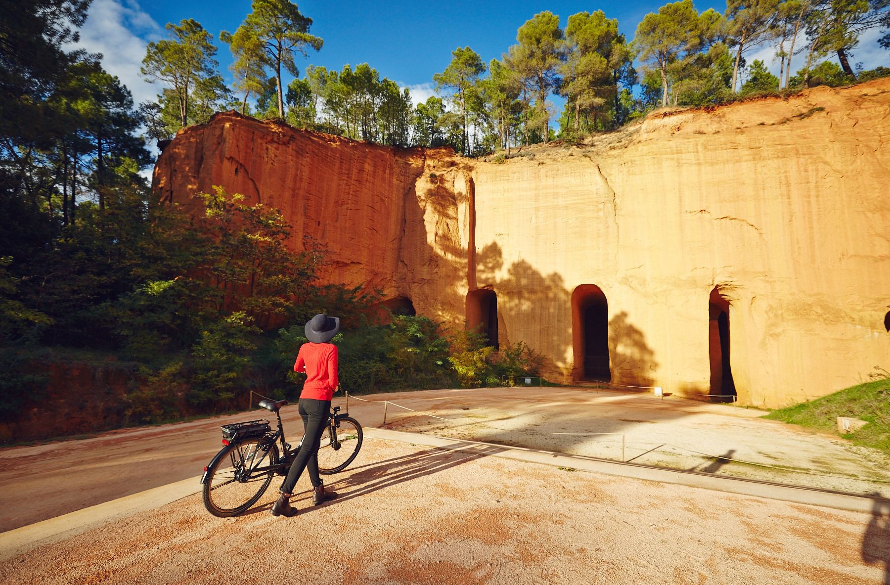
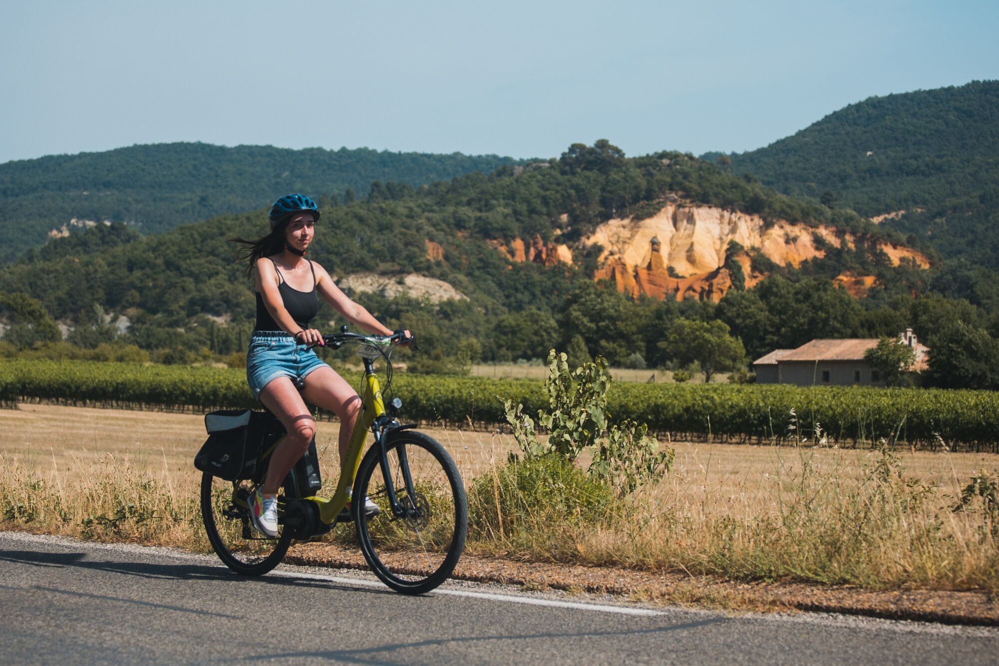
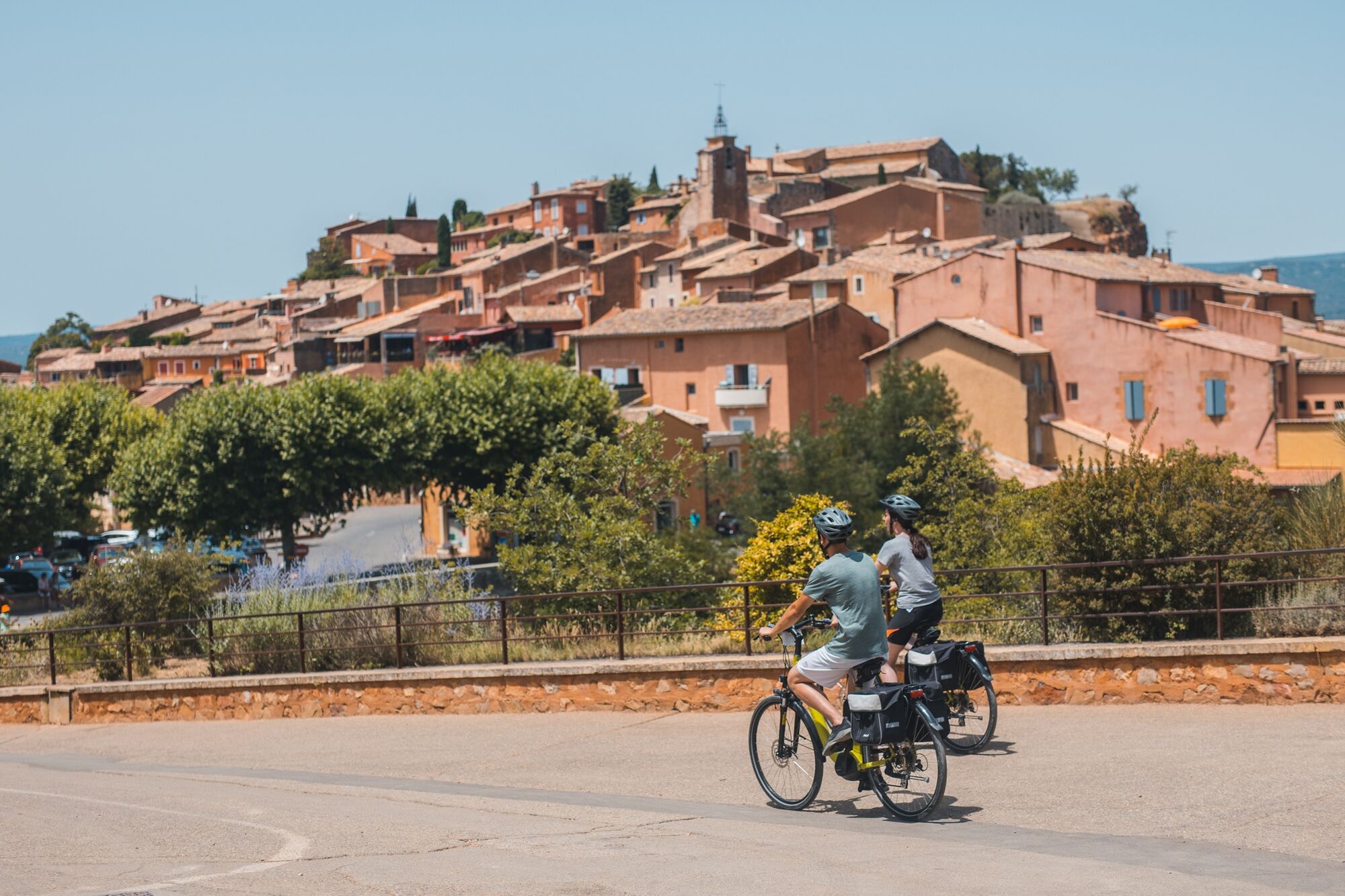
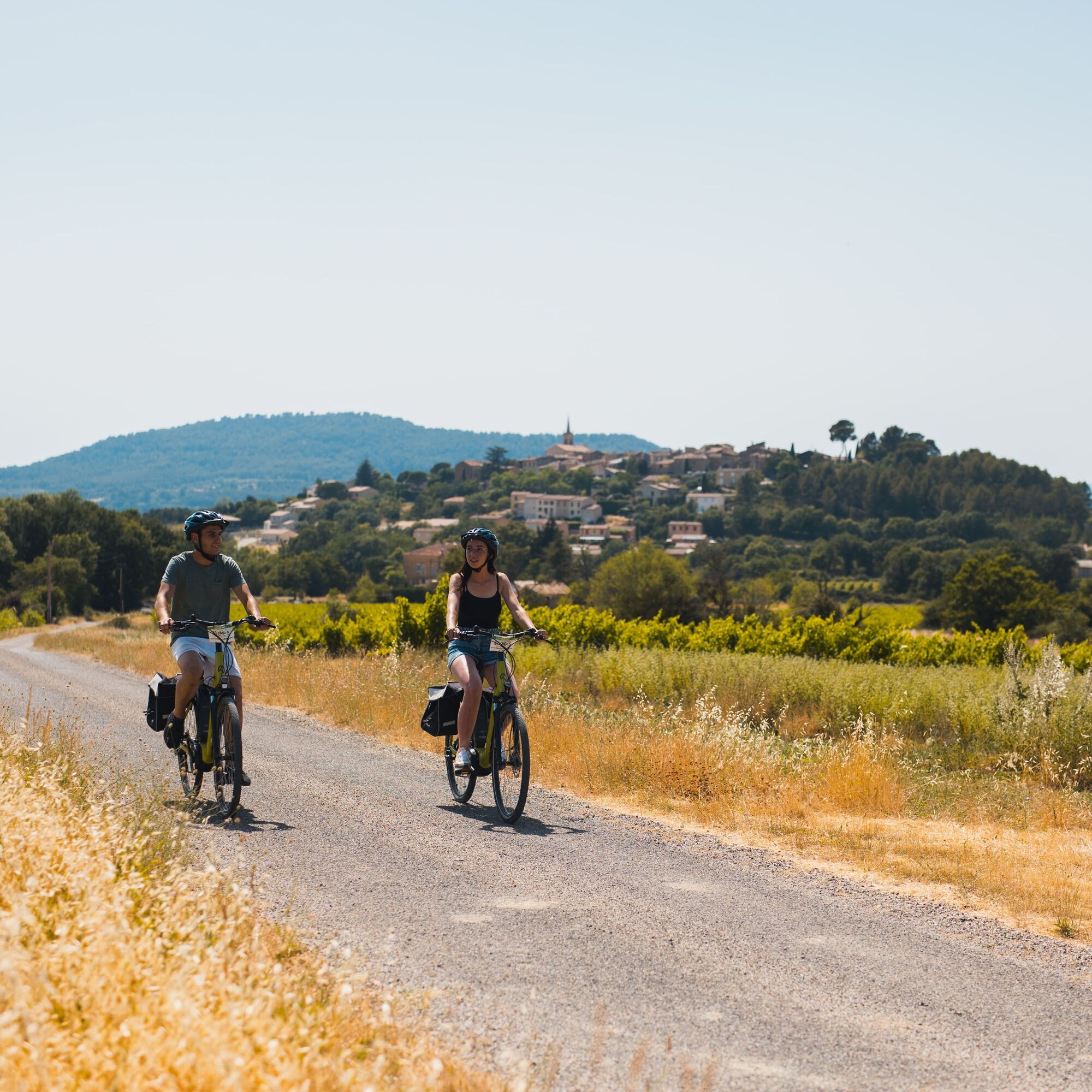
A colorful itinerary!
Via picturesque, little-traveled back roads, this itinerary, accessible to all, crosses some of the most beautiful landscapes and remarkable villages in the Luberon Regional Nature Park. - Vaikeus
-
tapa
- Arviointi
-
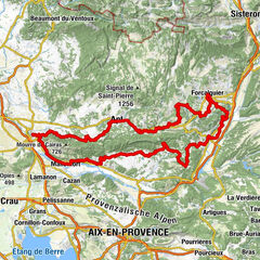
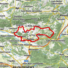
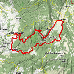
- Reitti
-
AptRestaurant le pied dans l'eau1,5 kmLa Paillote1,5 kmAmis de la Fontaine4,2 kmGargas4,3 kmLes Lombards7,3 kmRoussillon13,4 kmLes Riperts16,7 kmChapelle Saint-Pierre d'Agnane20,3 kmLes Andéols21,7 kmLes Mézards22,2 kmLes Yves24,3 kmLes Baups25,0 kmLogis-Neuf25,6 kmÉglise Saint Jacques le Mineur26,0 kmVillars26,1 kmLes Petits Cléments28,4 kmLes Viaux30,3 kmBistrot de la Place34,0 kmAuberge de Rustreou34,0 kmLes Platanes34,1 kmRustrel34,1 kmGignac37,9 kmViens45,1 kmPizza au Feu de Bois45,2 kmLe Petit Jardin45,2 kmSaint-Martin-de-Castillon52,6 kmBistro de Pays56,3 kmCaseneuve56,6 kmÉglise de l'Invention-de-Saint-Étienne56,7 kmLe Sanglier Paresseux57,0 kmApt66,2 km
- Paras kausi
-
tammihelmimaalishuhtitoukokesäheinäelosyyslokamarrasjoulu
- Korkein kohta
- 652 m
- Kohde
-
Apt
- Korkeusprofiili
-
 © outdooractive.com

- Kirjoittaja
-
Kiertue 13 - Exploring the land of ochre by bike käyttää outdooractive.com toimitettu.
GPS Downloads


Lisää retkiä alueilla
-
Vaucluse
35
-
Pays d'Apt-Luberon
10