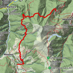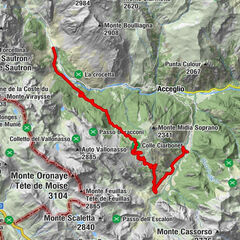


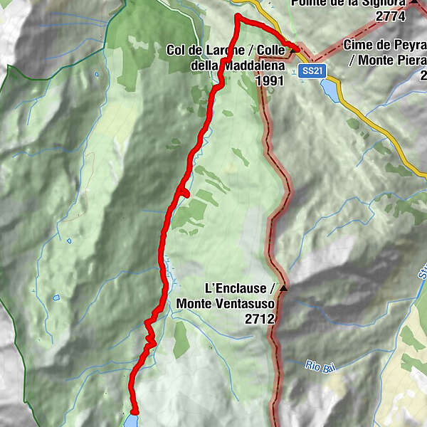
Retkitiedot
13,71km
1.904
- 2.289m
500hm
501hm
03:30h
- Lyhyt kuvaus
-
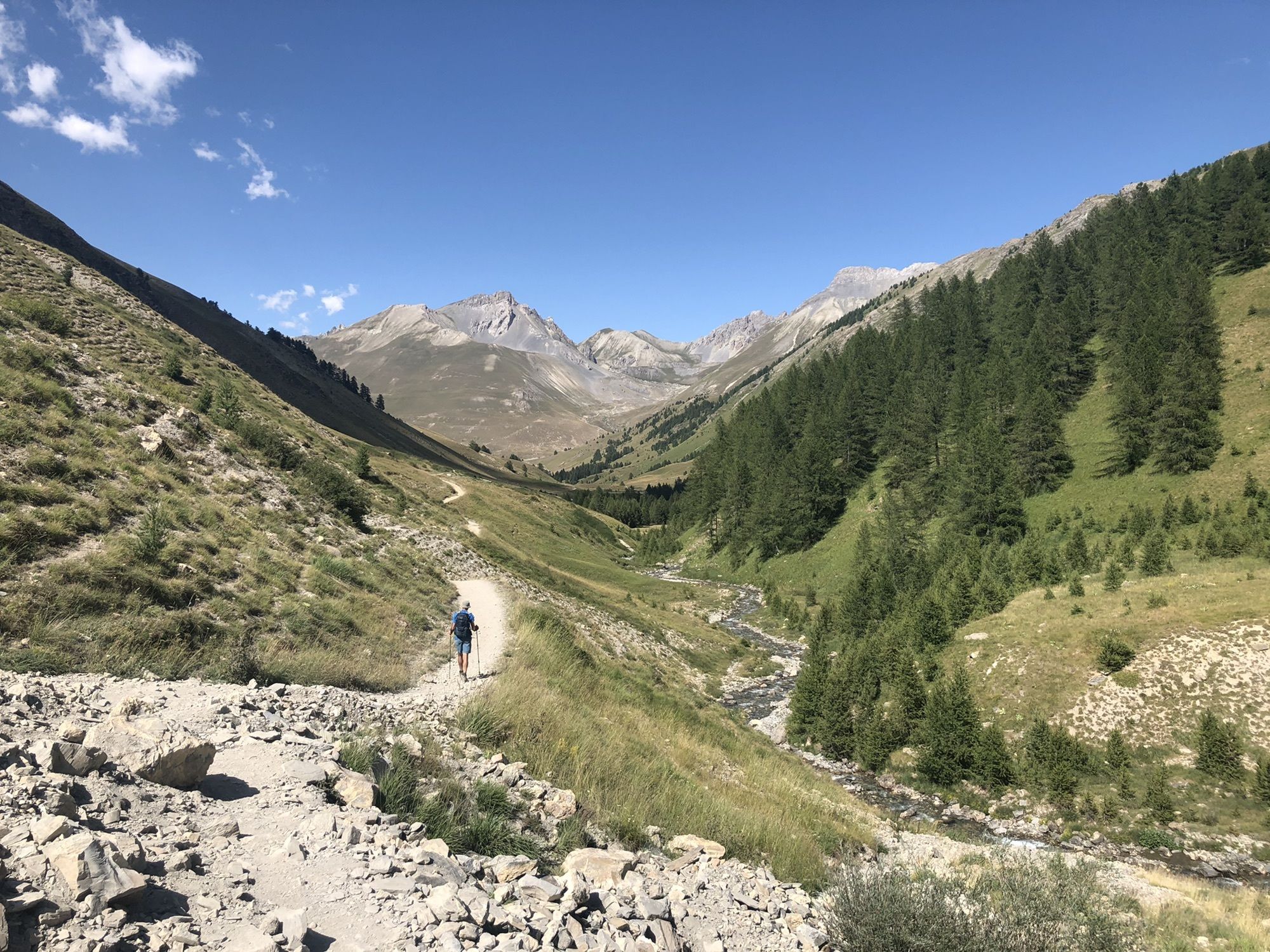
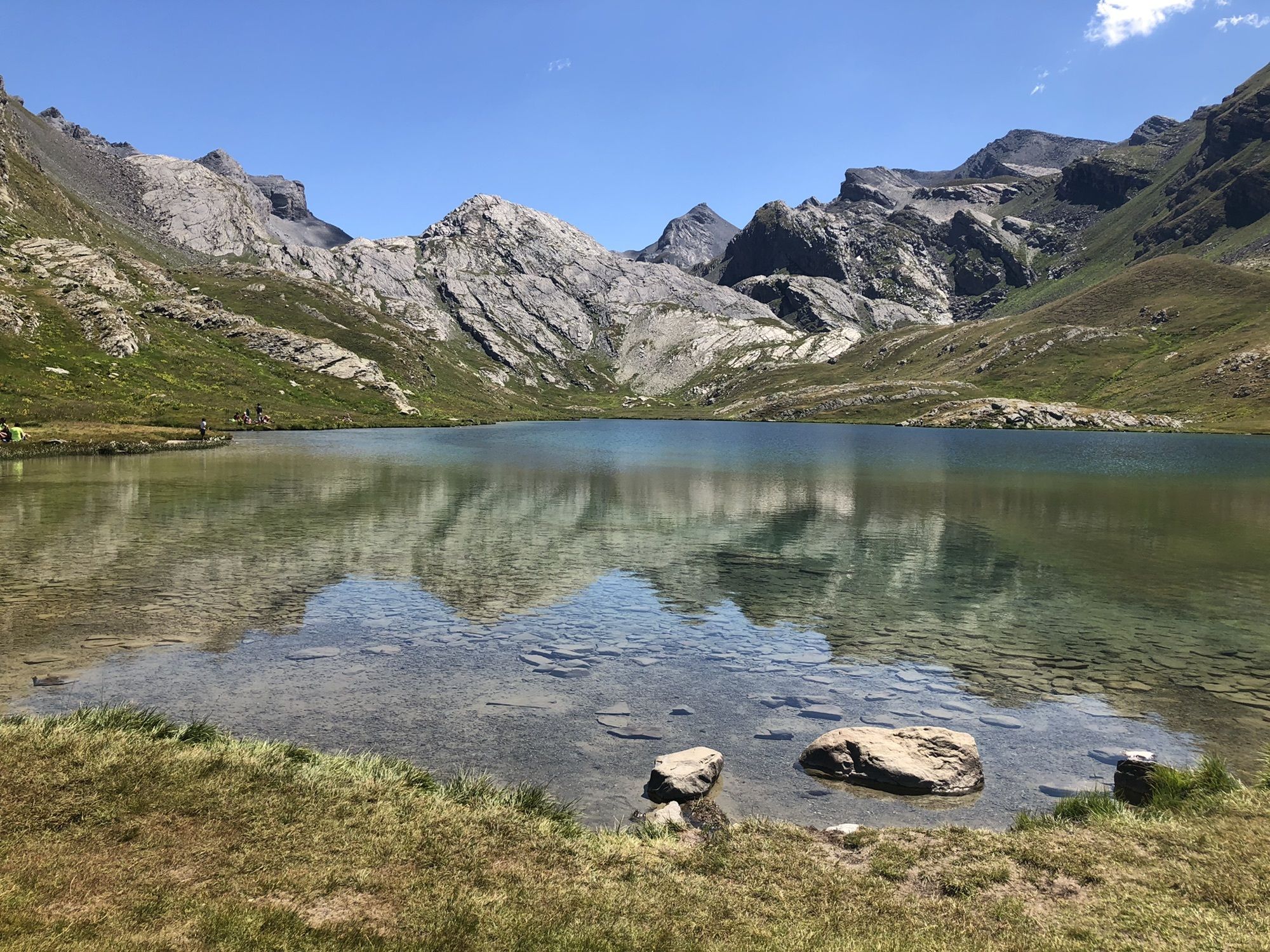
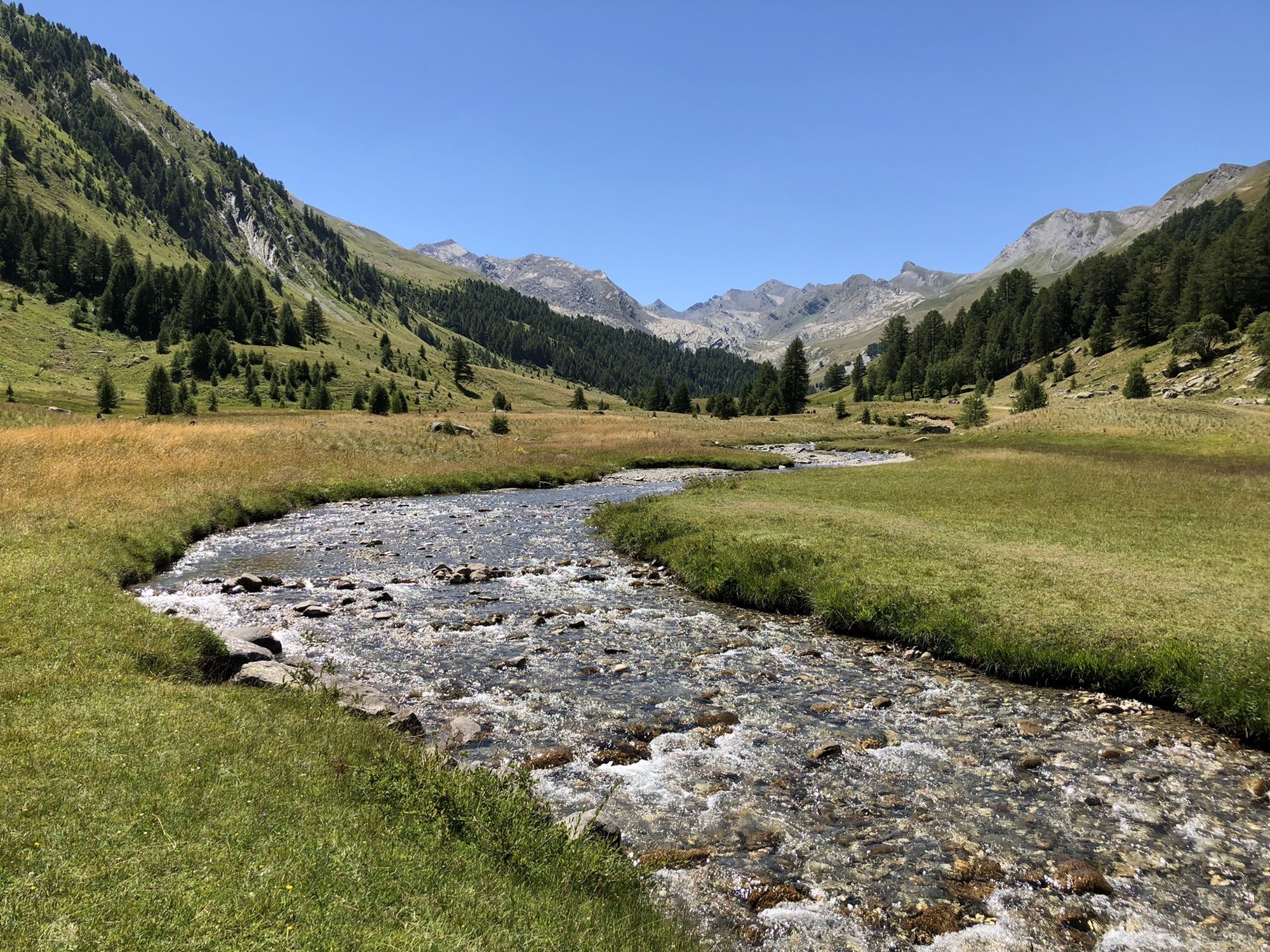
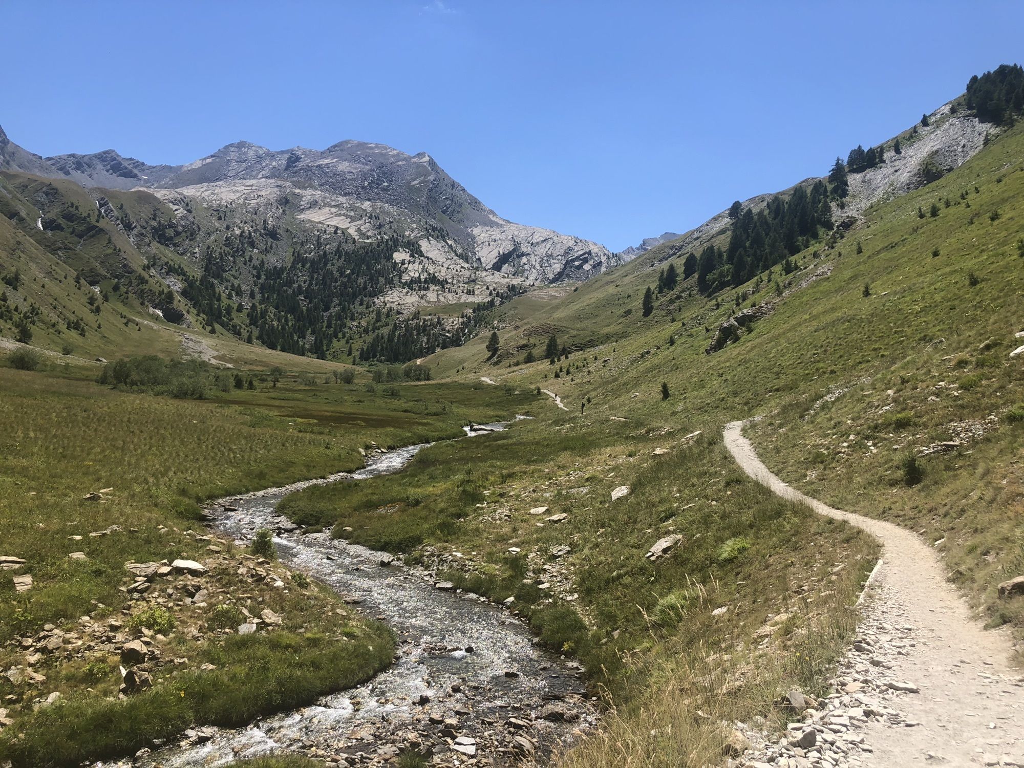
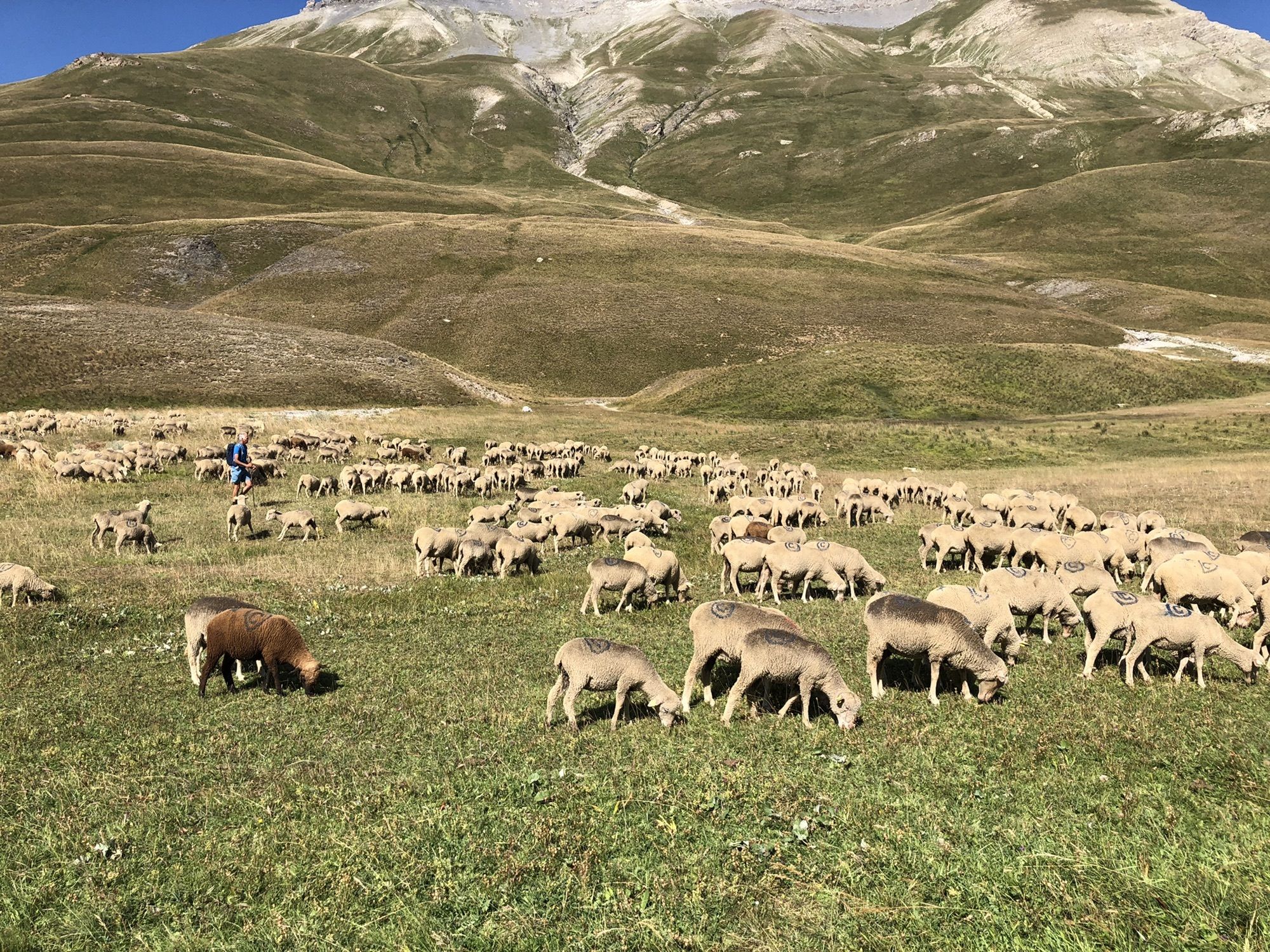
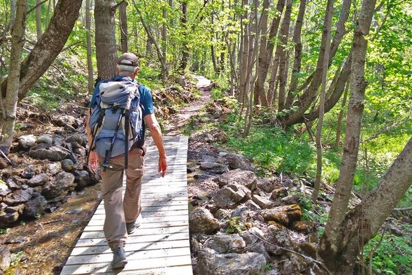
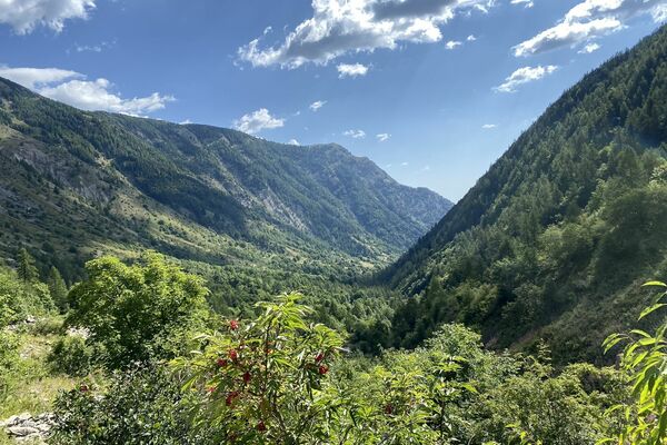
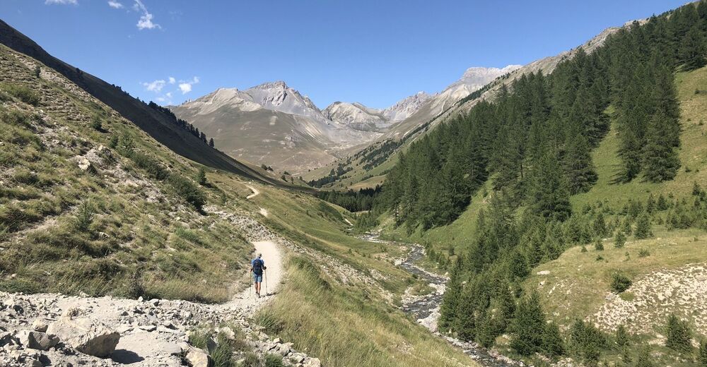
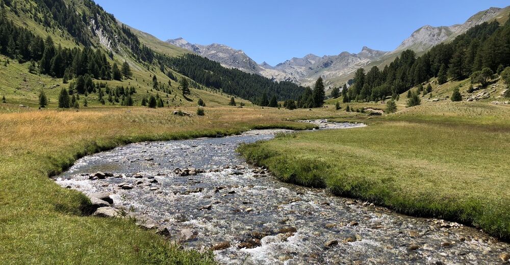
Au début de cette randonée beaucoup de gens qui admirerent les marmottes ou se reposent pour in piquenique. Plus loinl’ascente pour enfin trouver un lac splendide.
- Vaikeus
-
helppo
- Arviointi
-
- Reitti
-
Chapelle de la Madeleine13,3 km
- Paras kausi
-
tammihelmimaalishuhtitoukokesäheinäelosyyslokamarrasjoulu
- Korkein kohta
- 2.289 m