Via Dinarica BH-W-12 Donje Bare via Suha and Prijevor to Trnovačko Lake


© Terra Dinarica - Adnan Bubalo

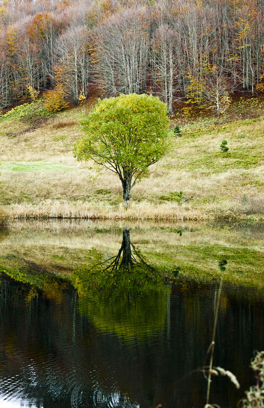
© Terra Dinarica - Olja Latinovic

© Terra Dinarica - Olja Latinovic

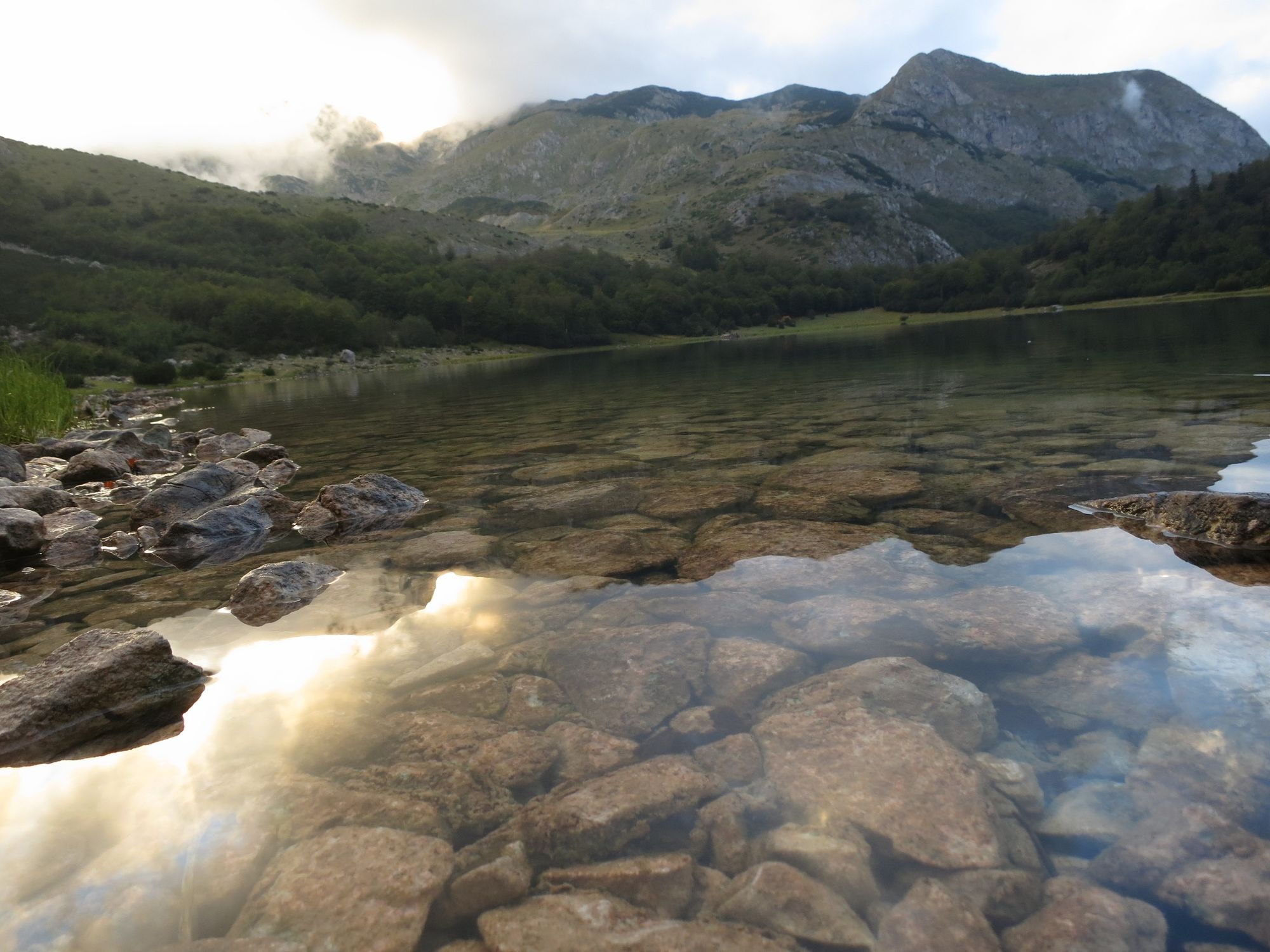
© Terra Dinarica - Elma Okić

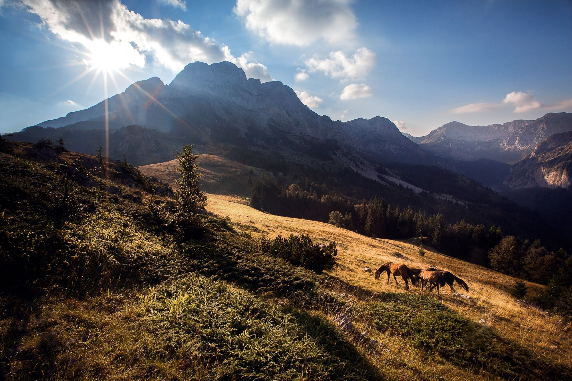
© Terra Dinarica - Elma Okić

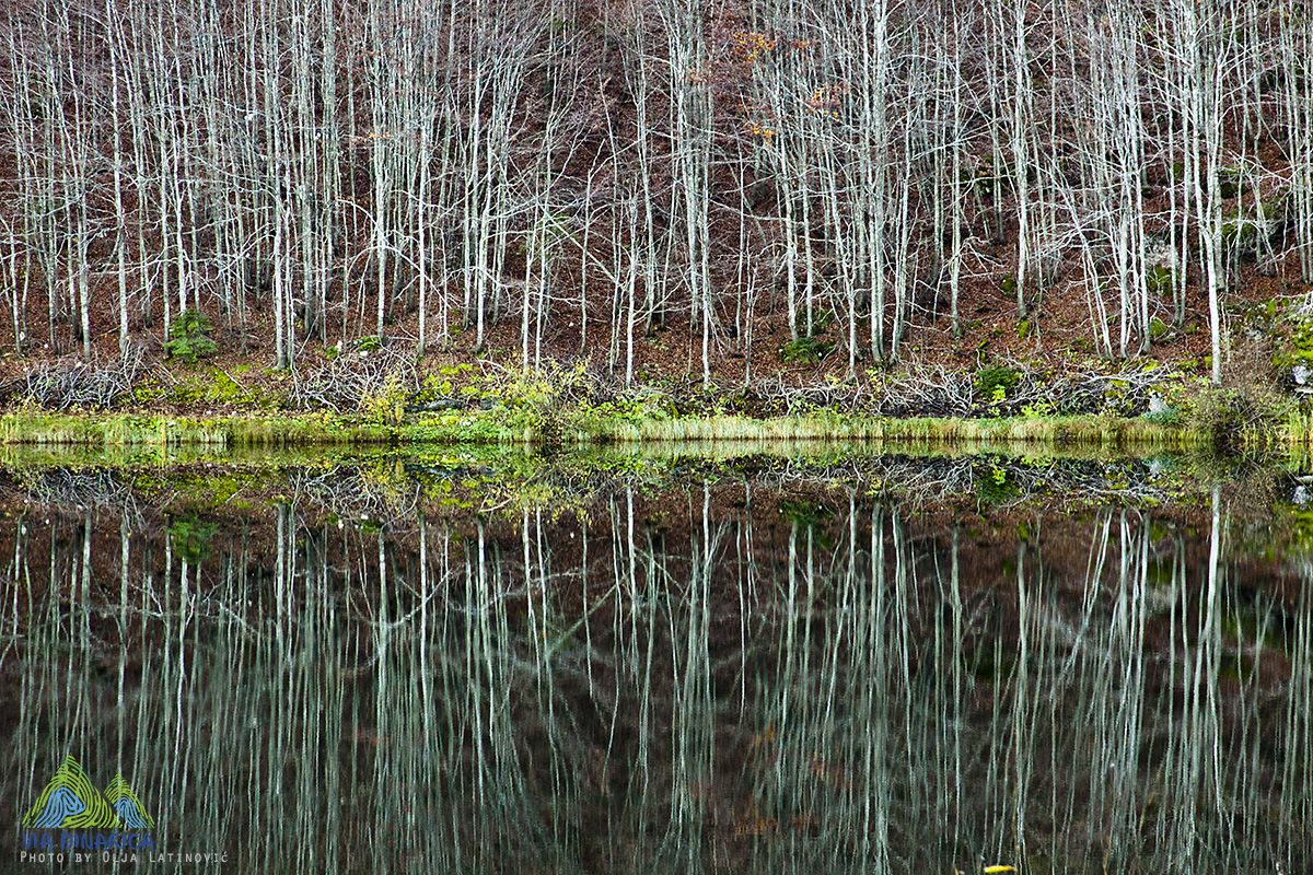
© Terra Dinarica - Olja Latinović

© Terra Dinarica - Adnan Bubalo

© Terra Dinarica - Adnan Bubalo

© Terra Dinarica - Olja Latinovic

© Terra Dinarica - Olja Latinovic

- Lyhyt kuvaus
-
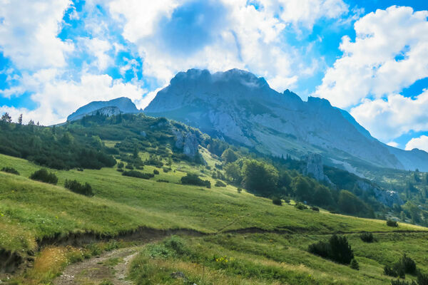
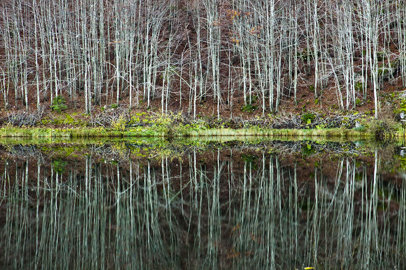
This trail connects Zelengora and Maglic. The hike from Suha brings you near to the borders of Perućica indigenous forest nature reserve, passes below Maglić and descends to the heart-shaped Trnovačko lake.
- Vaikeus
-
tapa
- Arviointi
-
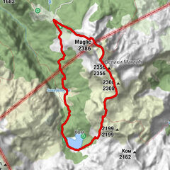
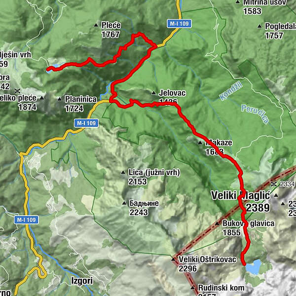
- Reitti
-
Kovačev panj (909 m)4,8 kmSusi Potok10,9 kmPrijevor15,7 km
- Paras kausi
-
tammihelmimaalishuhtitoukokesäheinäelosyyslokamarrasjoulu
- Korkein kohta
- 1.660 m
- Kohde
-
Trnovacko lake
- Korkeusprofiili
-
 © outdooractive.com


-

-
KirjoittajaKiertue Via Dinarica BH-W-12 Donje Bare via Suha and Prijevor to Trnovačko Lake käyttää outdooractive.com toimitettu.
GPS Downloads


Yleistä tietoa
Kulttuuri/Historiallinen
Flora
Fauna
Lupaava