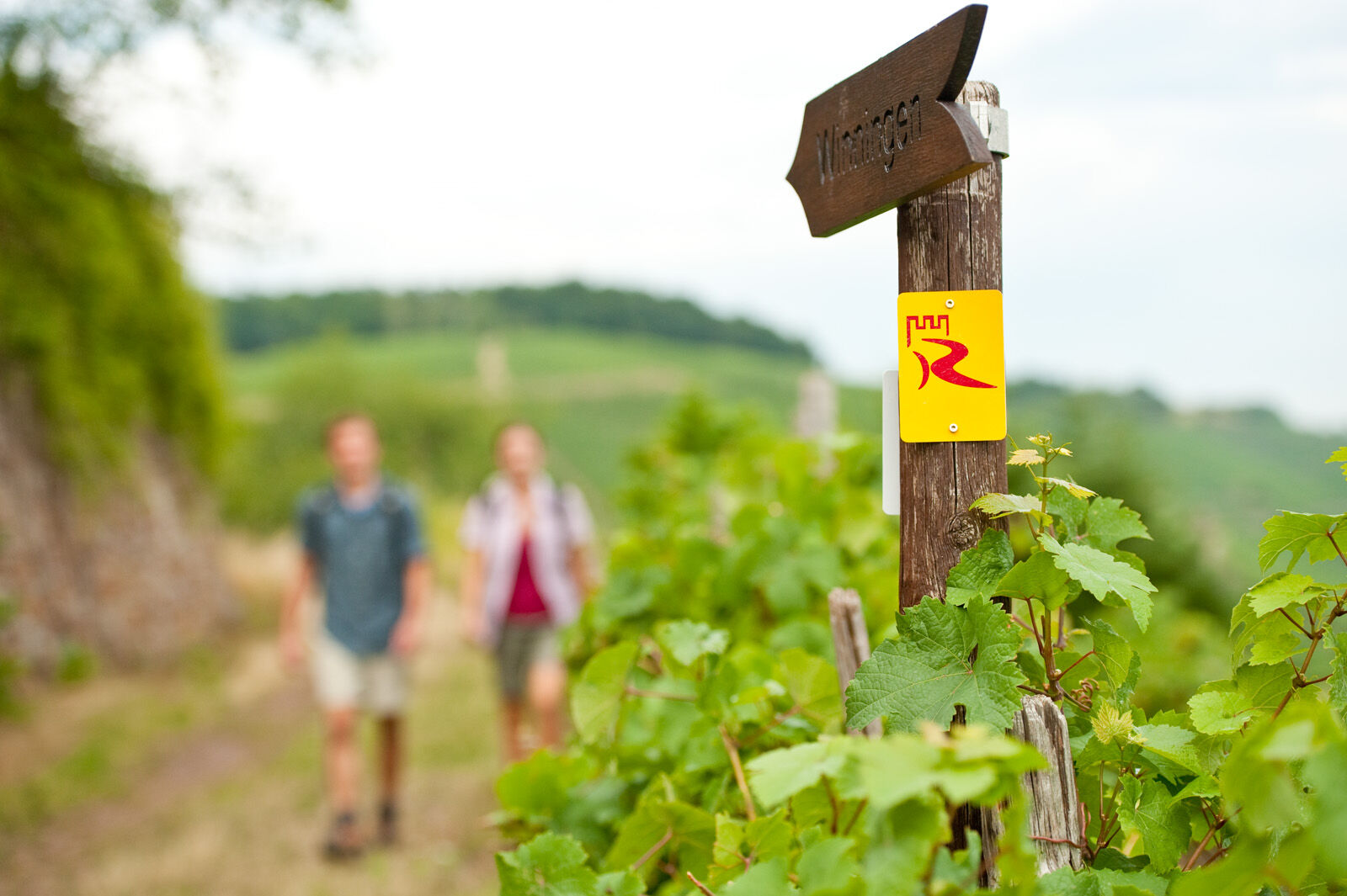
© Romantischer Rhein Tourismus GmbH - Marco Rothbrust

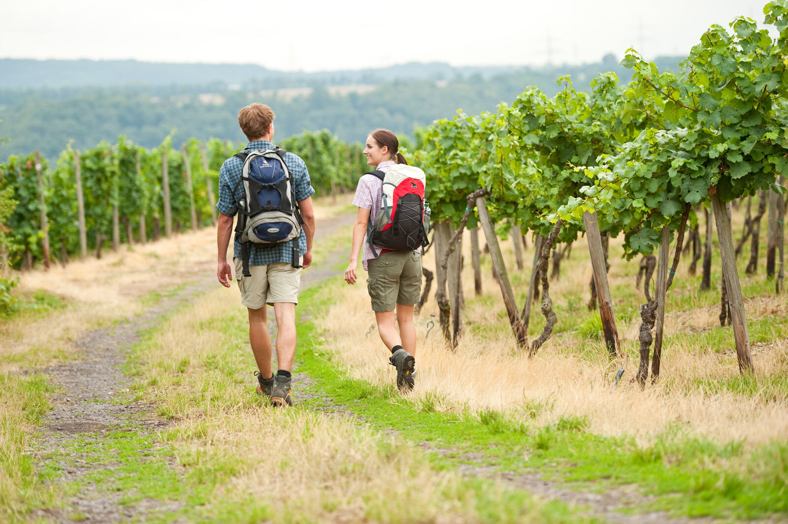
© Romantischer Rhein Tourismus GmbH - Dominik Ketz

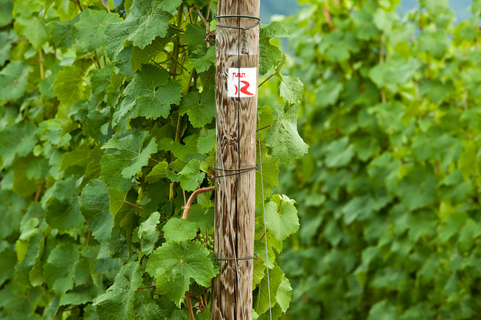
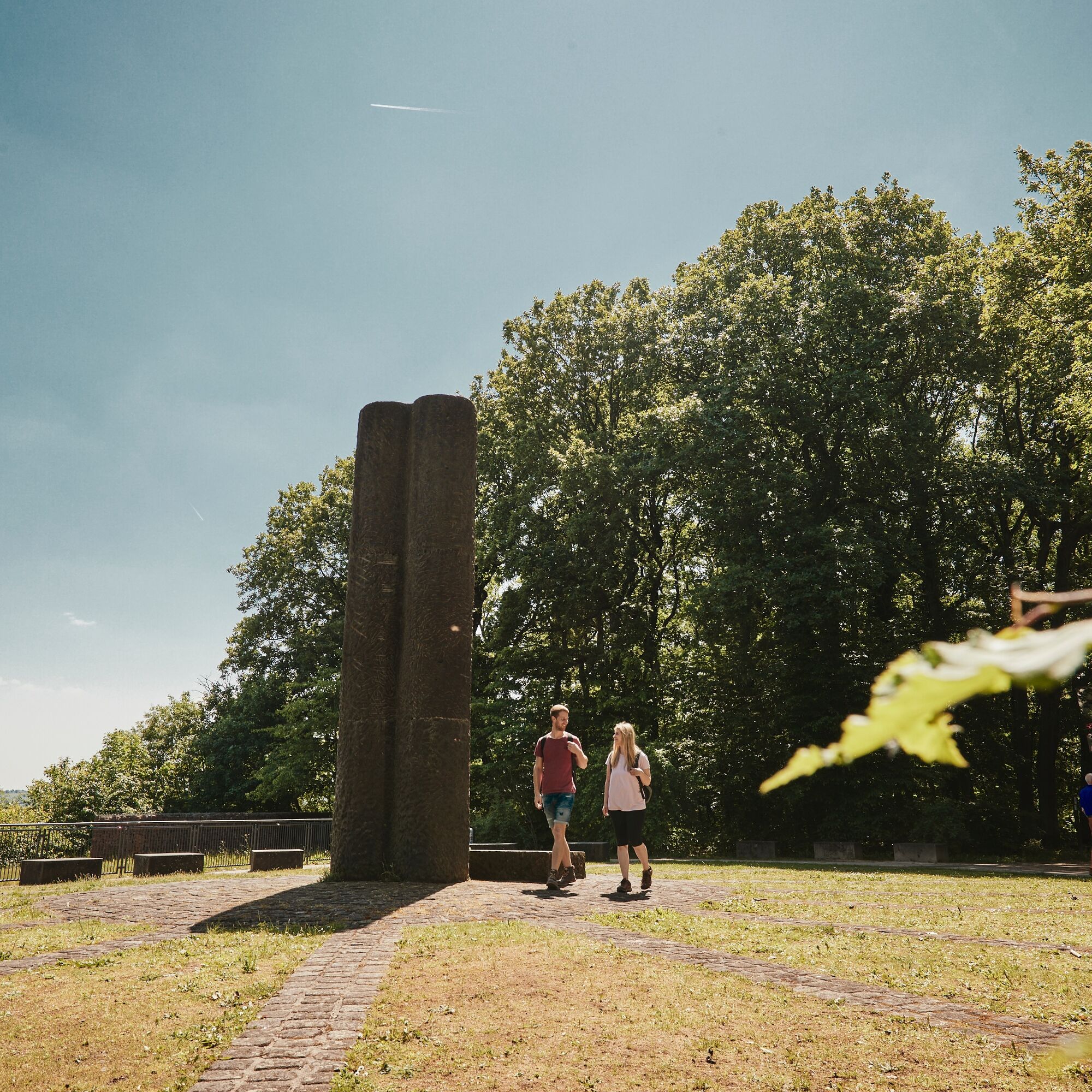
© Romantischer Rhein Tourismus GmbH - Dominik Ketz

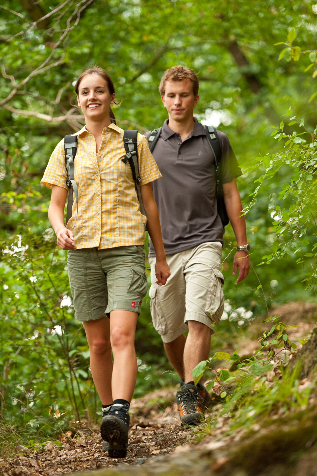
© Romantischer Rhein Tourismus GmbH - Dominik Ketz

© Romantischer Rhein Tourismus GmbH - Dominik Ketz

© Romantischer Rhein Tourismus GmbH - Dominik Ketz

© Romantischer Rhein Tourismus GmbH - Marco Rothbrust


- Lyhyt kuvaus
-
From the Moselle to the Rhine....
- Vaikeus
-
tapa
- Arviointi
-
- Reitti
-
WinningenWinninger Brückstück1,2 kmGrossheiligenhäuschen3,8 kmGüls5,3 kmIm Sternberg5,9 kmIm Burgweg6,3 kmKoblenz (73 m)6,6 kmAm Karthäuser Busch9,3 kmLayer Kopf (312 m)10,1 kmIn den Röthern10,5 kmRemstecker Quelle11,0 kmAuf dem Tummelberg13,4 kmKoblenz (73 m)14,3 km
- Paras kausi
-
tammihelmimaalishuhtitoukokesäheinäelosyyslokamarrasjoulu
- Korkein kohta
- 316 m
- Kohde
-
Koblenz
- Korkeusprofiili
-
 © outdooractive.com


- Kirjoittaja
-
Kiertue RheinBurgenWeg Stage 6: Winningen–Koblenz (north–south) käyttää outdooractive.com toimitettu.
GPS Downloads


Yleistä tietoa
Virvokepysäkki
Kulttuuri/Historiallinen
Lupaava
Lisää retkiä alueilla
-
Romantischer Rhein
1042
-
Sonnige Untermosel
620
-
Koblenz
190