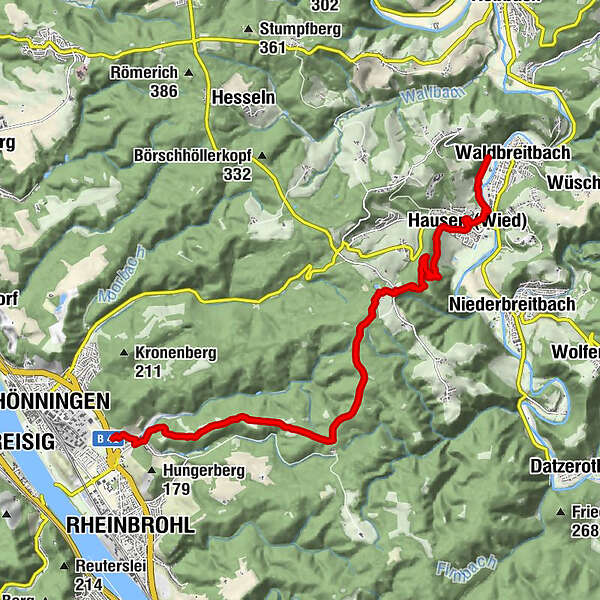
Westerwald-Steig Stage 16: Waldbreitbach - Bad Hönningen (East - West)


© Westerwald - Ganz nach deiner Natur! - Artur Lik

© Westerwald - Ganz nach deiner Natur! - Dominik Ketz

- Lyhyt kuvaus
-
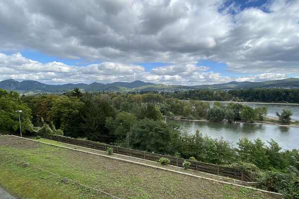
This stage of the trail passes through the grounds of the St Joseph House in Hausen, continues to the 'three abbey view' and leads up to the hikers'/ski hut on the Malberg mountain. We then pass some Roman watchtowers before descending into the Middle Rhine Valley to the RömerWelt, a living Roman history museum.
- Vaikeus
-
vaikea
- Arviointi
-
- Reitti
-
WaldbreitbachMariengrotte1,0 kmHausen (Wied)1,7 kmMalberg-Hütte5,4 kmHähnen5,5 kmMalberg (373 m)5,5 kmGebildeichshäuschen7,9 kmBeulenberg (321 m)8,8 kmNaturpark-Weitblick Dielsberg10,4 kmArienheller11,8 km
- Paras kausi
-
tammihelmimaalishuhtitoukokesäheinäelosyyslokamarrasjoulu
- Korkein kohta
- 362 m
- Kohde
-
Bad Hönningen
- Korkeusprofiili
-
 © outdooractive.com


- Kirjoittaja
-
Kiertue Westerwald-Steig Stage 16: Waldbreitbach - Bad Hönningen (East - West) käyttää outdooractive.com toimitettu.
GPS Downloads


Yleistä tietoa
Virvokepysäkki
Kulttuuri/Historiallinen
Lupaava
Lisää retkiä alueilla
-
Ahrtal
1260
-
Siebengebirge
708
-
Rheinbrohl
244