© Unbekannt - Tourist-Information Ferienland Cochem

© Unbekannt - Tourist-Information Ferienland Cochem

© Tourist-Information Ferienland Cochem

© Ferienland Cochem - Tourist-Information Ferienland Cochem
Retkitiedot
3,65km
92
- 194m
143hm
114hm
01:30h
- Lyhyt kuvaus
-
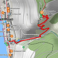
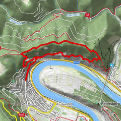
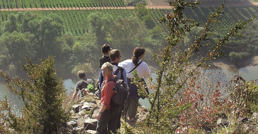
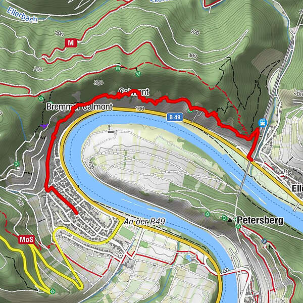
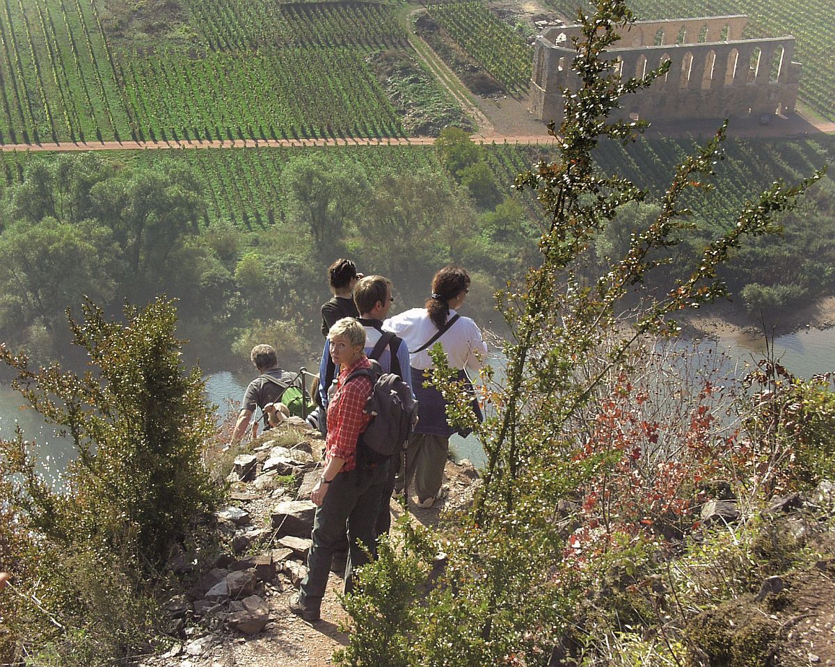
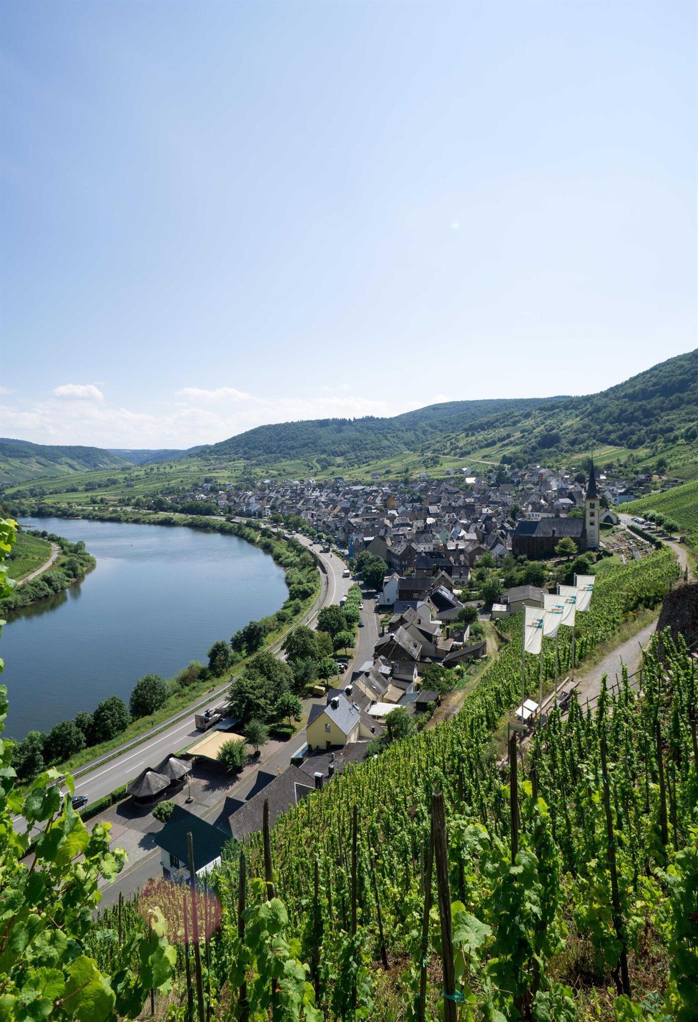
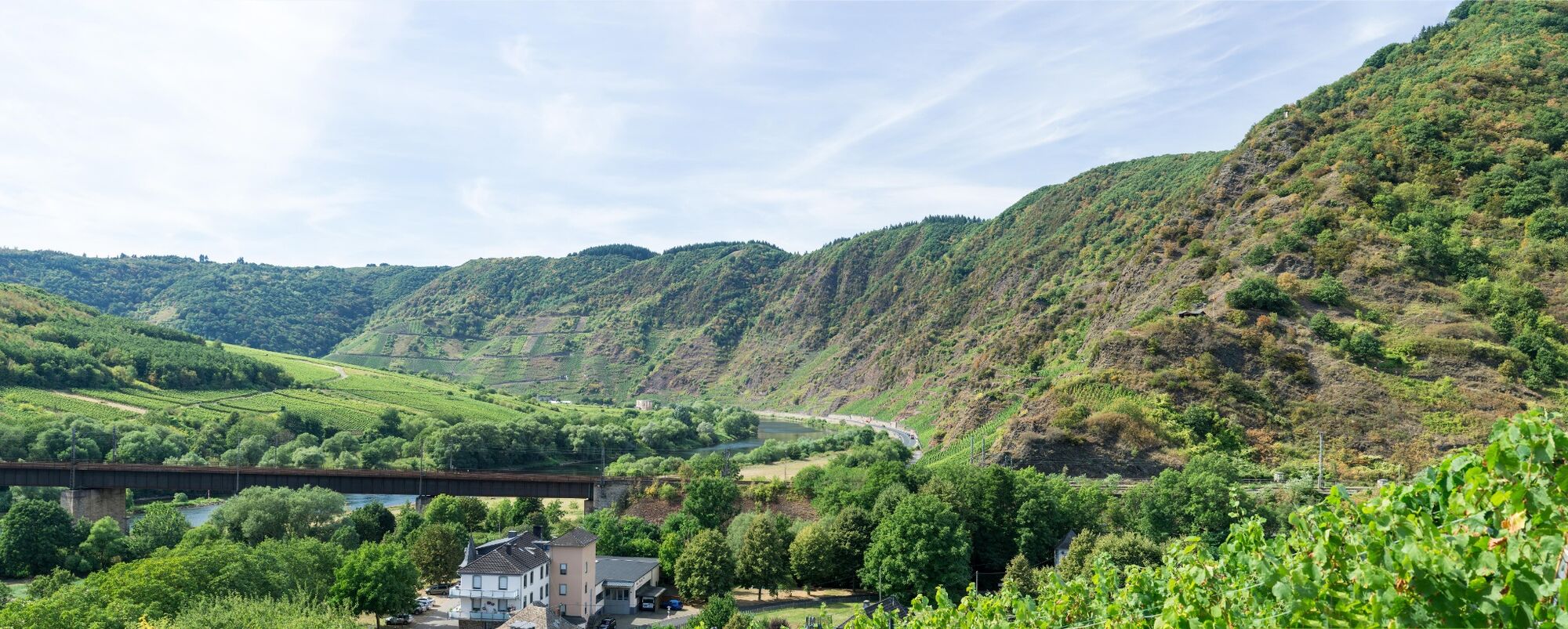
Adventure in the steepest vineyard in Europe. The path leads over ladders past striking rock spurs. Steel ropes give you support when crossing a rocky ridge. Enjoy the magnificent panorama between the towns of Bremm and Ediger-Eller with a view of the Stuben monastery ruins on the narrowest and most beautiful Moselle bend.
- Vaikeus
-
tapa
- Arviointi
-
- Reitti
-
Amphitrion-Aussichtspunkt1,1 kmSankt Laurentius3,0 kmBremm3,5 km
- Paras kausi
-
tammihelmimaalishuhtitoukokesäheinäelosyyslokamarrasjoulu
- Korkein kohta
- 194 m
- Kohde
-
Bremm/Ediger-Eller
- Korkeusprofiili
-
 © outdooractive.com

-

-
KirjoittajaFerienland CochemKiertue The Calmont-Klettersteig käyttää outdooractive.com toimitettu.
GPS Downloads


Yleistä tietoa
Flora
Fauna
Lisää retkiä alueilla
-
Mosel-Saar
12
-
Zeller Land
5
-
Zell (Mosel)
4
")