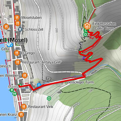
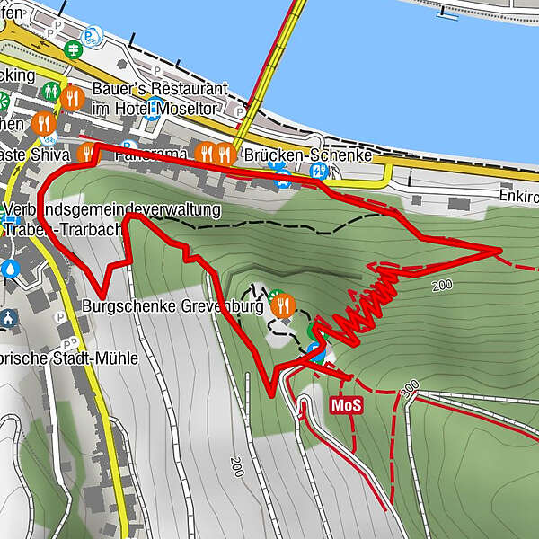
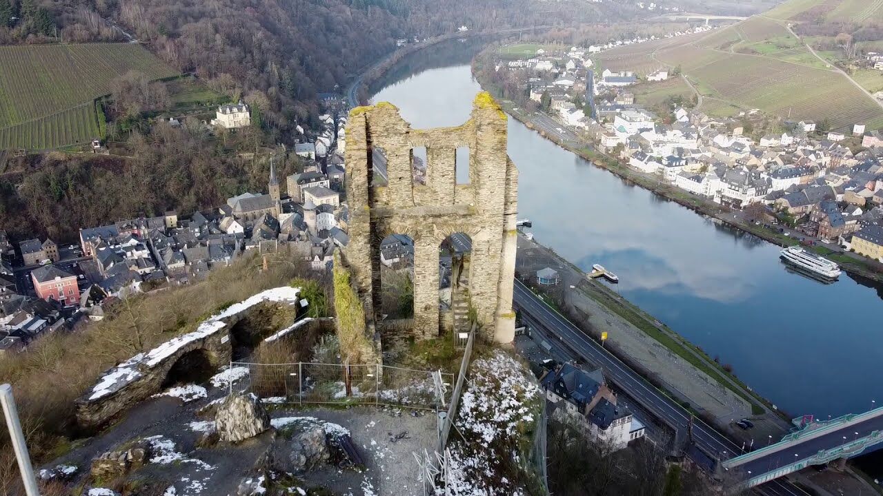
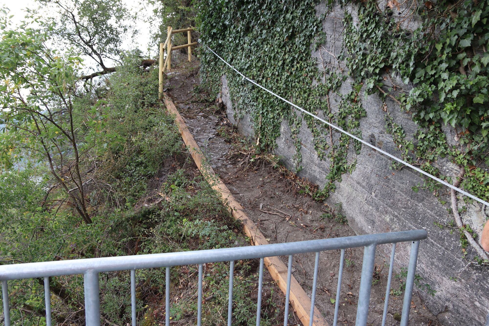
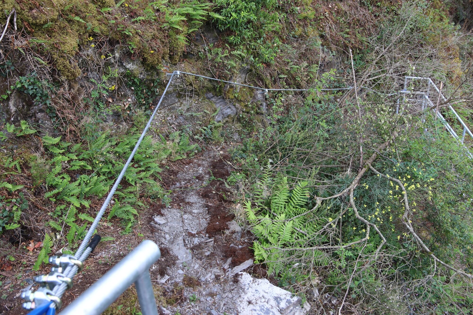
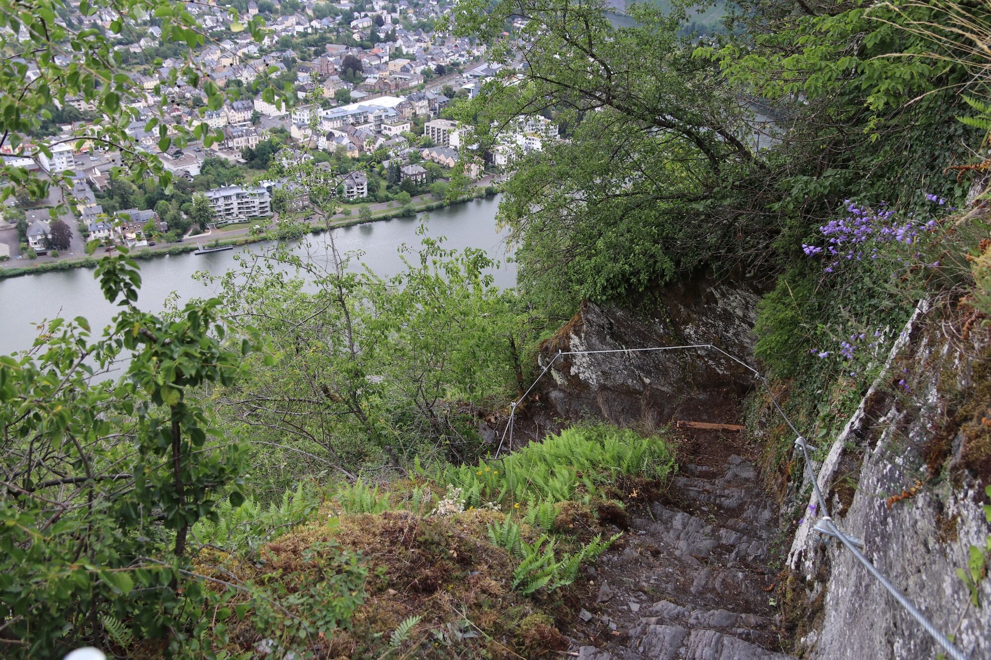
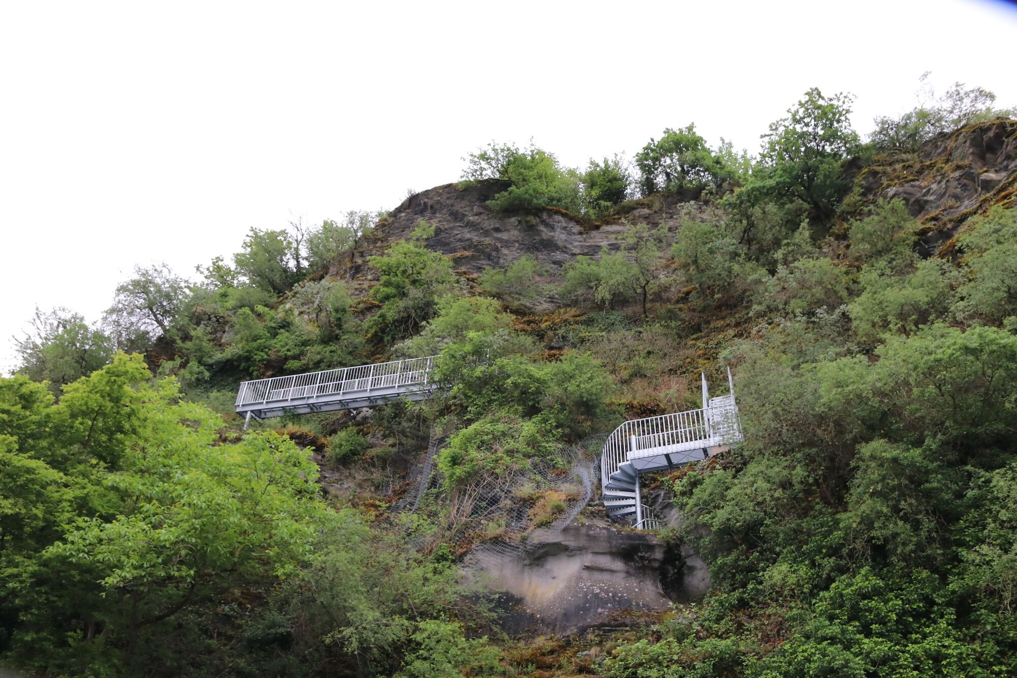
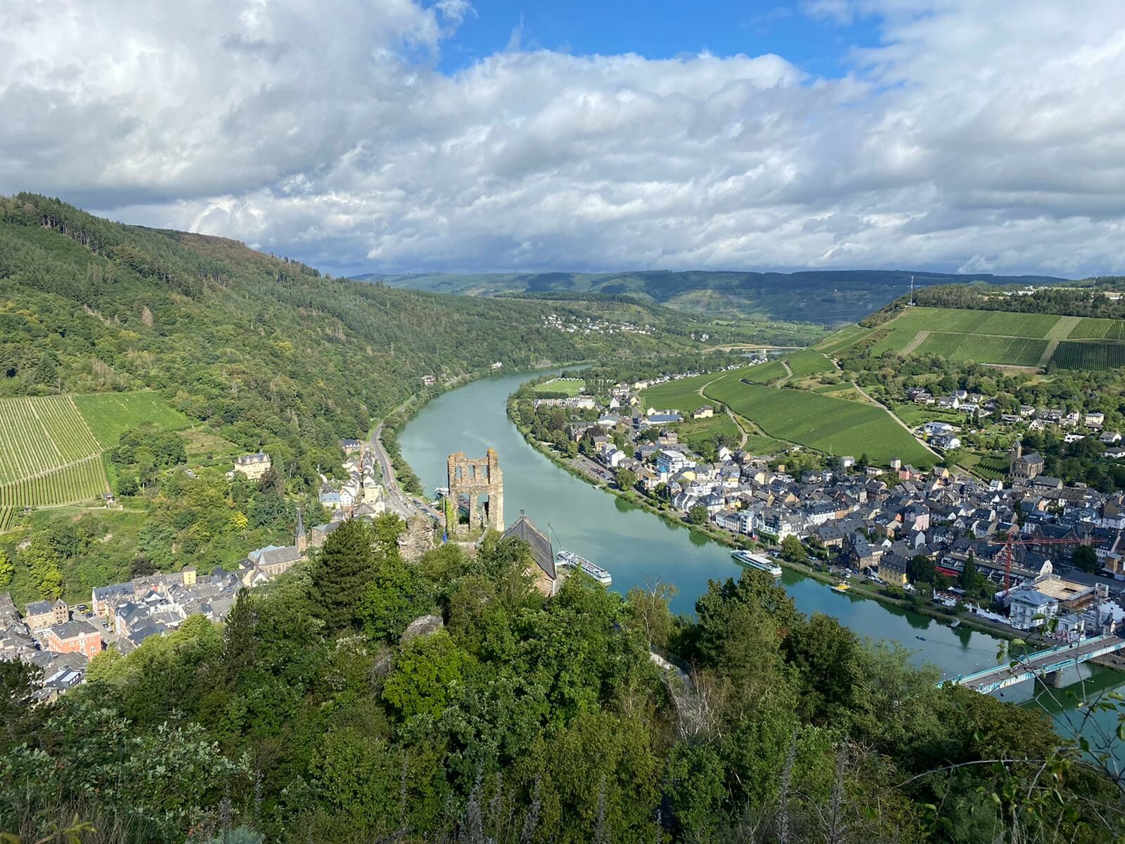
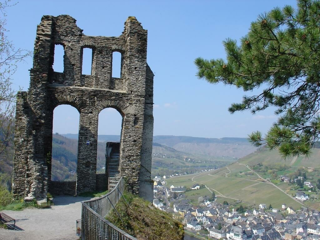
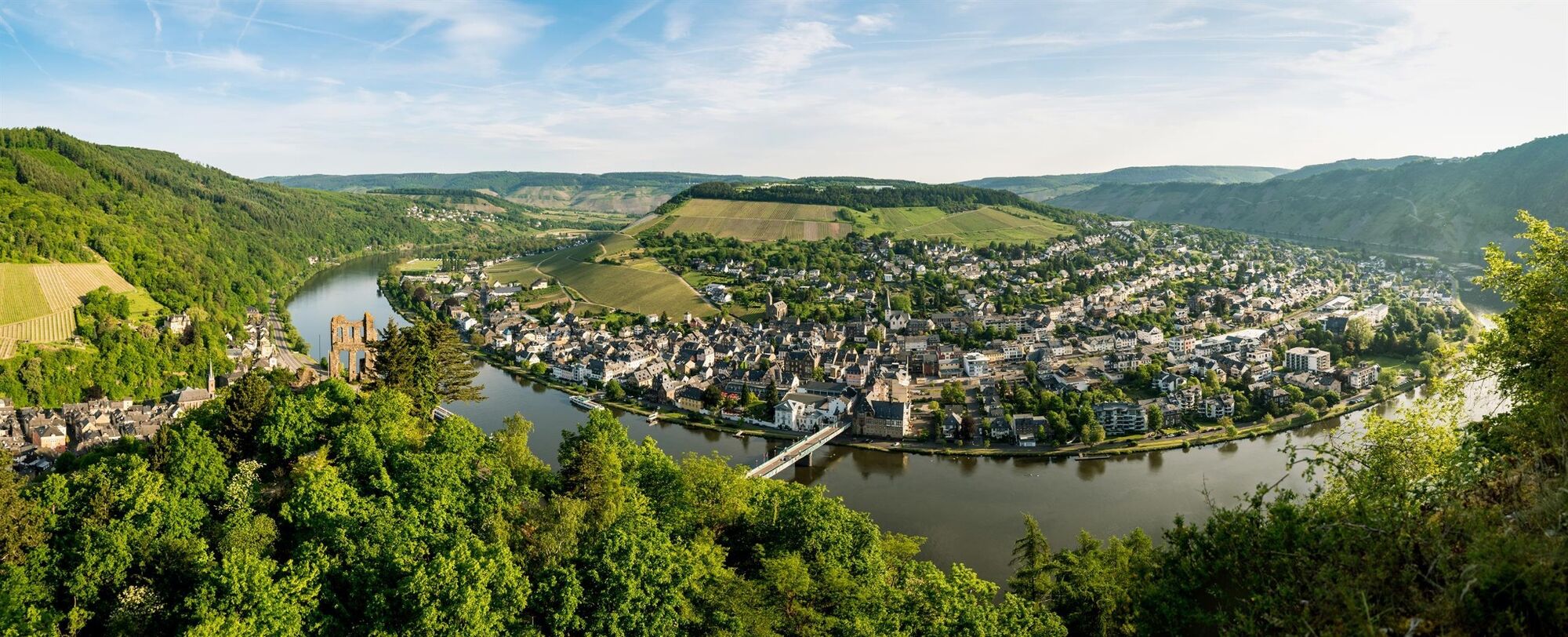
Franzosensteig - a historic hiking and climbing trail from the banks of the Moselle to the Hunsrückhöhe


© Moselregion Traben-Trarbach Kröv - Kirsten Haag

© Outdooractive – 3D Videos

© Carina Steffen

© Moselregion Traben-Trarbach Kröv - Kirsten Haag

© Moselregion Traben-Trarbach Kröv - Kirsten Haag

© Moselregion Traben-Trarbach Kröv - Kirsten Haag

© Moselregion Traben-Trarbach Kröv - Kirsten Haag

© Moselregion Traben-Trarbach Kröv - Becker Werbung

© Trägerverein Naturpark Soonwald-Nahe e.V. - Naturpark Soonwald-Nahe

© G. Weyrich

- Lyhyt kuvaus
-
A small but fine circular route that is really something! The ascent is rewarded with breathtaking views of the magnificent Moselle landscape!
- Vaikeus
-
tapaVaikeusaste A
- Arviointi
-
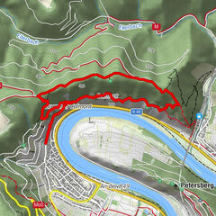
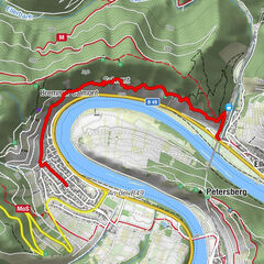
- Reitti
-
Kriegerdenkmal0,5 kmTraben-Trarbach1,6 km
- Paras kausi
-
tammihelmimaalishuhtitoukokesäheinäelosyyslokamarrasjoulu
- Korkein kohta
- 238 m
- Kohde
-
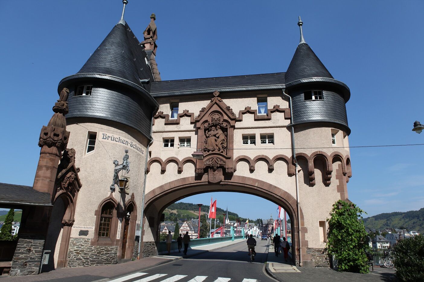
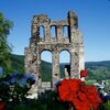
Traben-Trarbach bridge gate
- Korkeusprofiili
-
 © outdooractive.com
-
-
Kirjoittaja
GPS Downloads


Yleistä tietoa
Virvokepysäkki
Kulttuuri/Historiallinen
Sisäpiirin vinkki
Lupaava
Lisää retkiä alueilla
-
Mosel-Saar
12
-
Traben-Trarbach
12
-
Zell (Mosel)
4


")