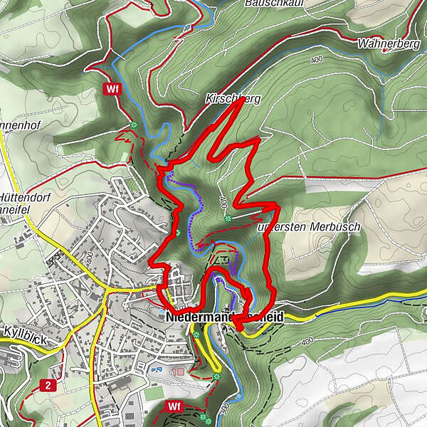
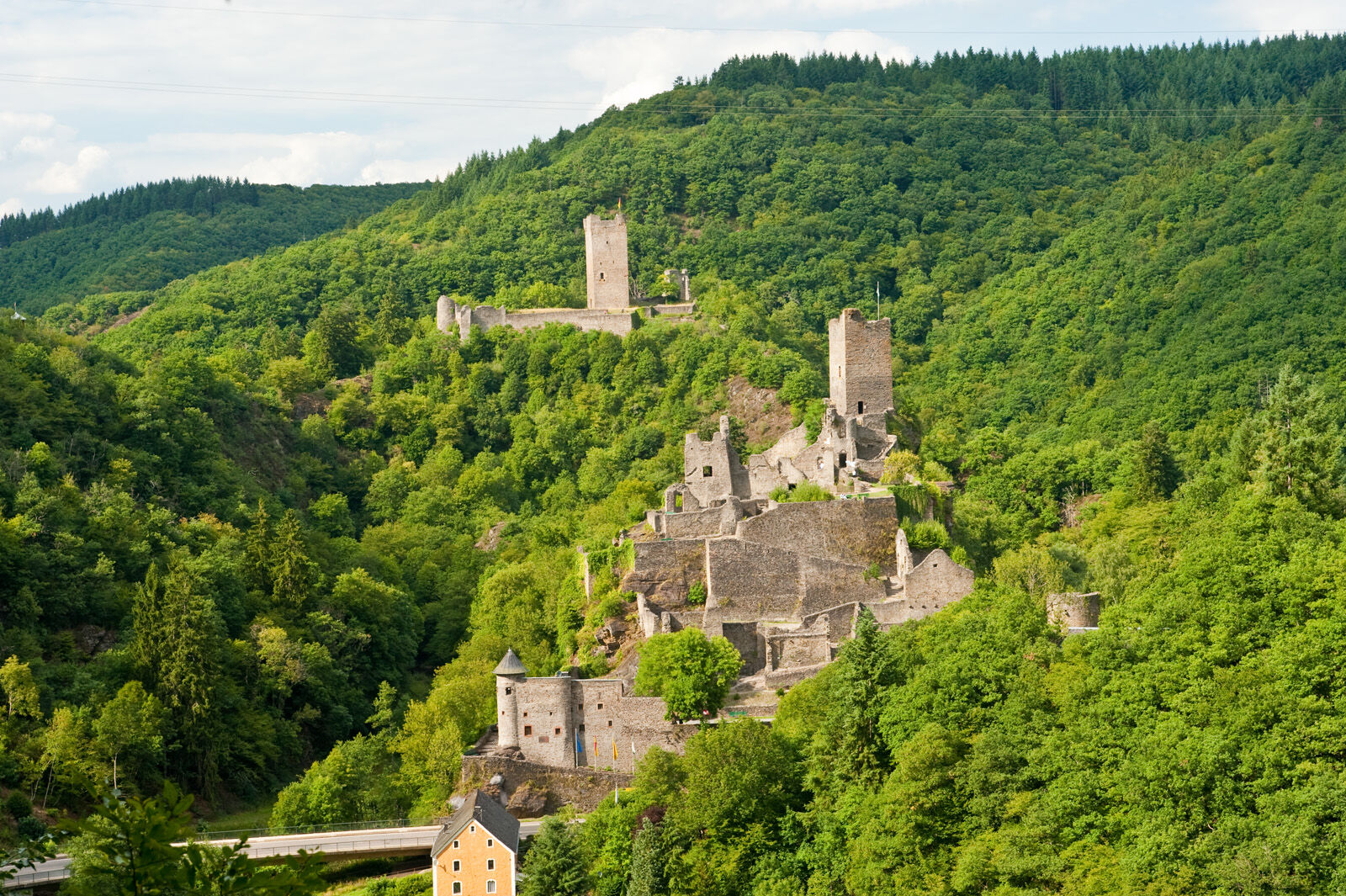
Vulkaneifel Trail: Manderscheider Castle-Path (around Manderscheid)


© GesundLand Vulkaneifel GmbH - Dominik Ketz

© Outdooractive – 3D Videos

© GesundLand Vulkaneifel GmbH

© GesundLand Vulkaneifel GmbH

© GesundLand Vulkaneifel GmbH

© GesundLand Vulkaneifel GmbH

© GesundLand Vulkaneifel GmbH

© GesundLand Vulkaneifel GmbH

© GesundLand Vulkaneifel GmbH

© GesundLand Vulkaneifel GmbH - J. Neuhaus

- Lyhyt kuvaus
-
The Manderscheider Burgenstieg (Castle-Trail) leads around the twin castles of Manderscheid.
- Vaikeus
-
tapa
- Arviointi
-
- Reitti
-
Manderscheid0,0 kmBelvedere2,8 kmNiedermanderscheid4,1 kmAlte Molkerei5,2 kmTrattoria Vulcano5,2 kmRestaurant Postillion5,3 km
- Paras kausi
-
tammihelmimaalishuhtitoukokesäheinäelosyyslokamarrasjoulu
- Korkein kohta
- 429 m
- Kohde
-
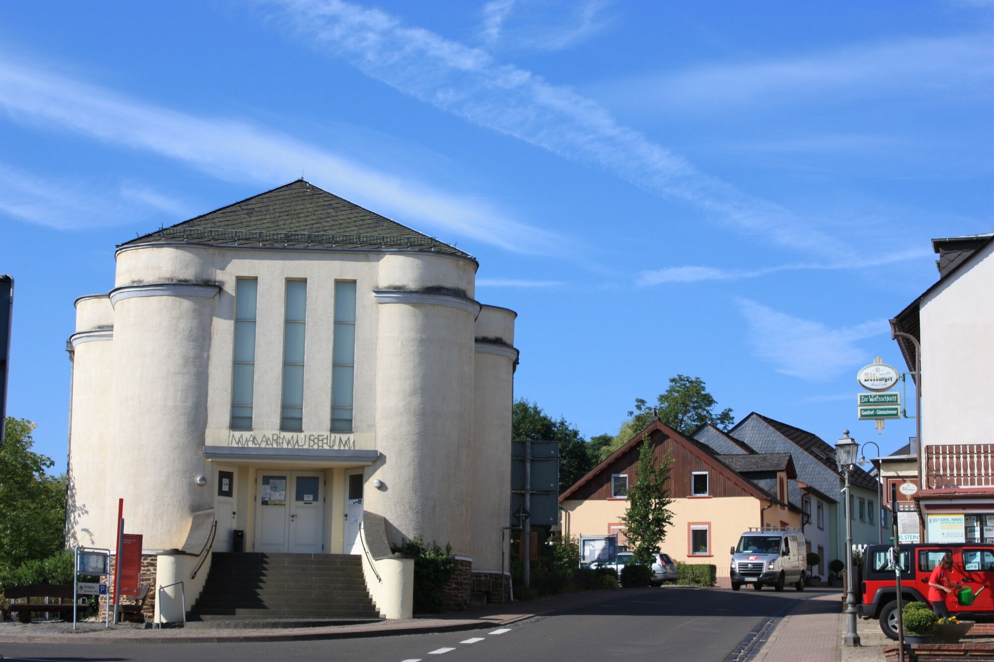
Kurhaus Manderscheid
- Korkeusprofiili
-
 © outdooractive.com


-

-
KirjoittajaKiertue Vulkaneifel Trail: Manderscheider Castle-Path (around Manderscheid) käyttää outdooractive.com toimitettu.
GPS Downloads


Yleistä tietoa
Virvokepysäkki
Kulttuuri/Historiallinen
Flora
Lupaava
Lisää retkiä alueilla
-
Mosel-Saar
1078
-
Vulkaneifel
589
-
Manderscheid
174