© Tourist-Information EdelSteinLand - phormat, Eike Dubois

© Edelsteinland - Best of Wandern/Geli Scholtes

© Edelsteinland - Best of Wandern/Geli Scholtes

© Tourist-Information EdelSteinLand - phormat, Eike Dubois

© Tourist-Information EdelSteinLand - phormat, Eike Dubois

© Tourist-Information EdelSteinLand - phormat, Eike Dubois

© Edelsteinland - Zöllner

© Tourist-Information EdelSteinLand - phormat, Eike Dubois

© Tourist-Information EdelSteinLand - phormat, Eike Dubois

© Tourist-Information EdelSteinLand - phormat, Eike Dubois

- Lyhyt kuvaus
-
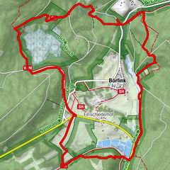
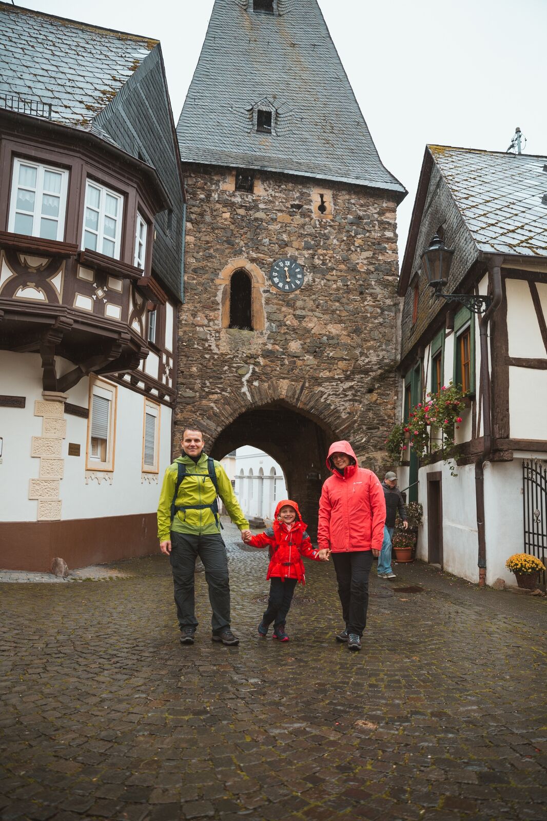
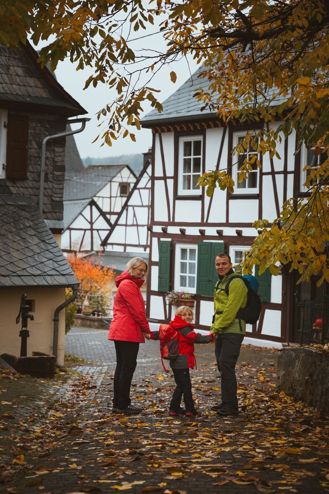
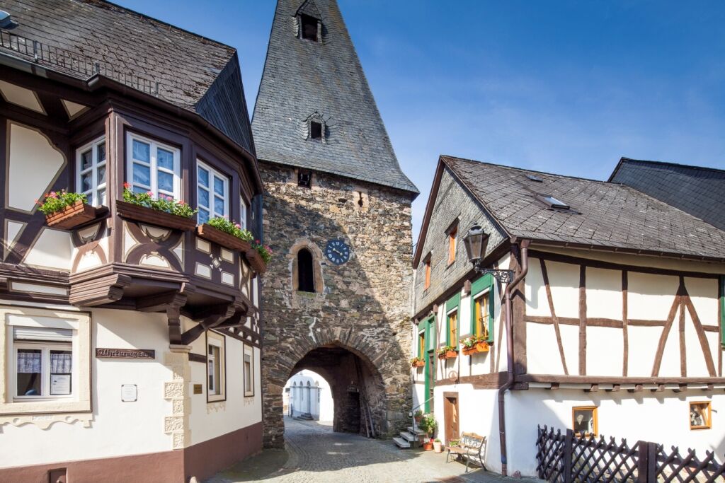
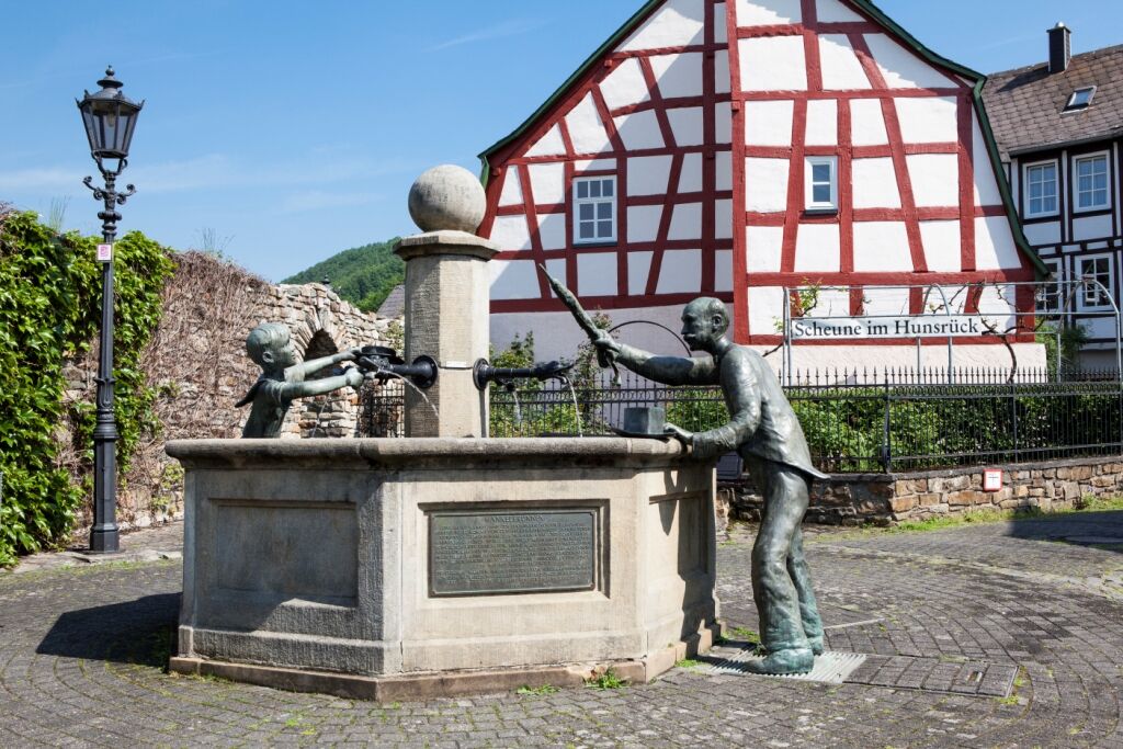
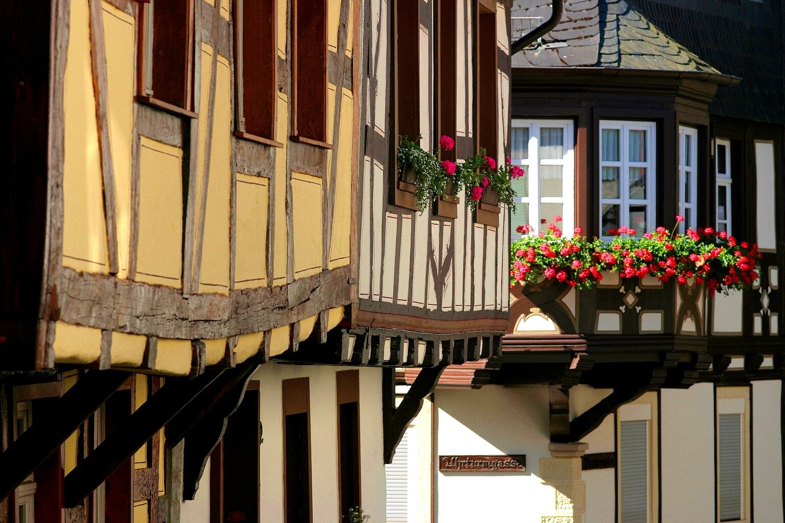
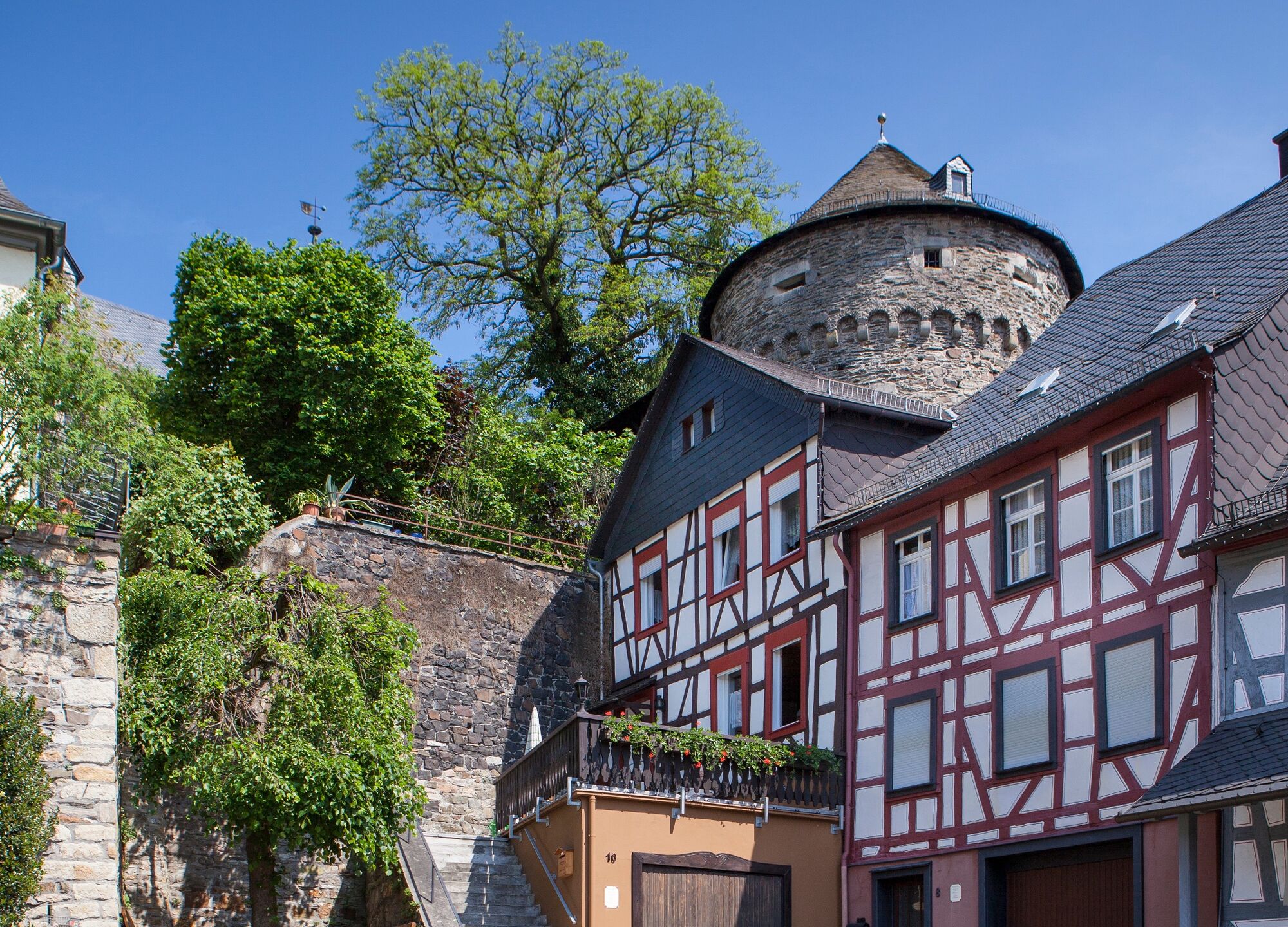
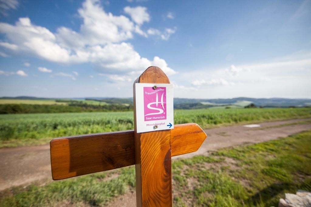
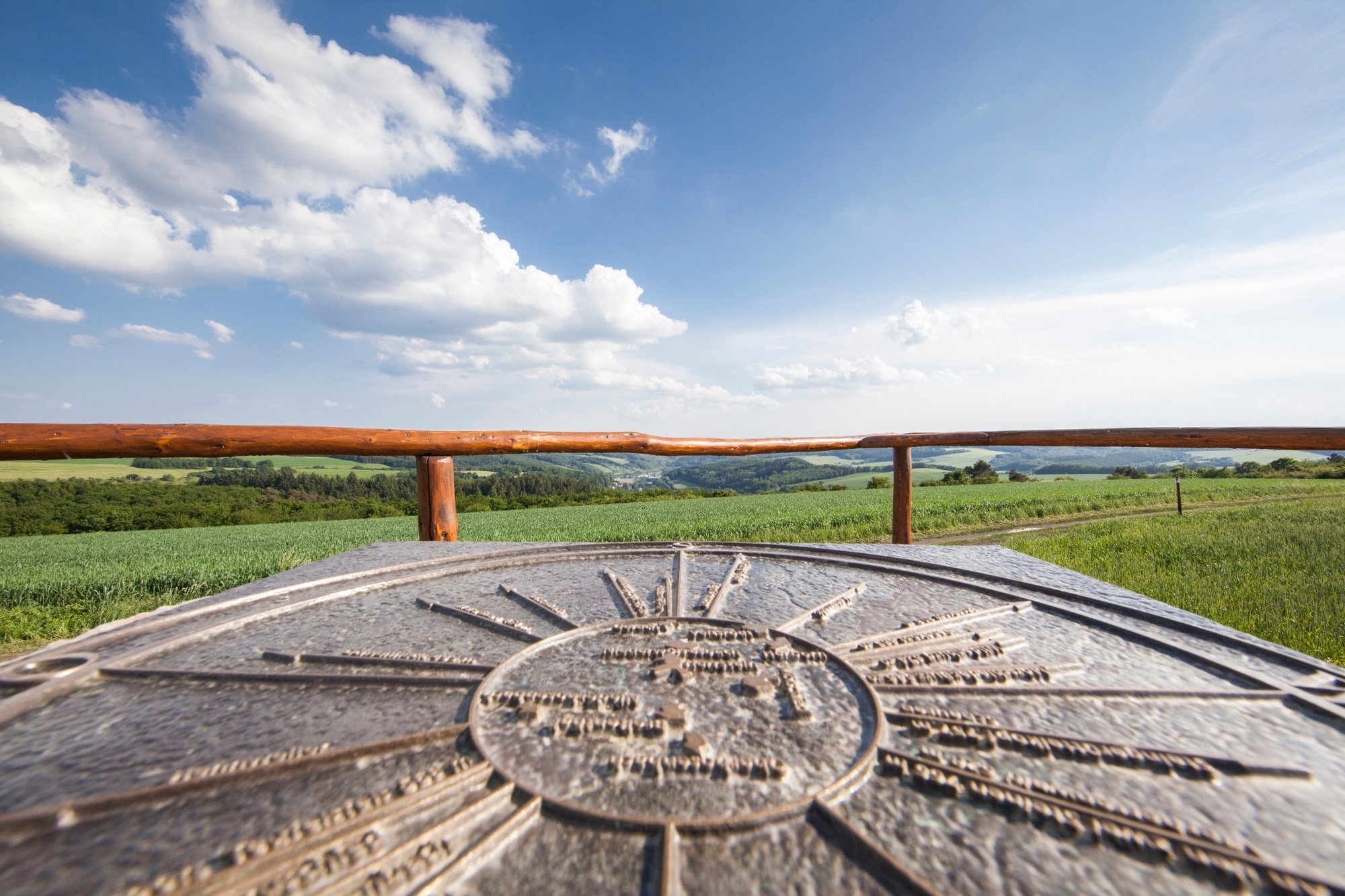
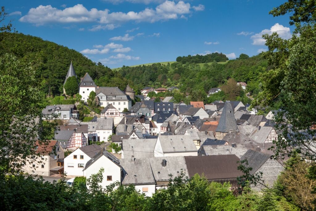
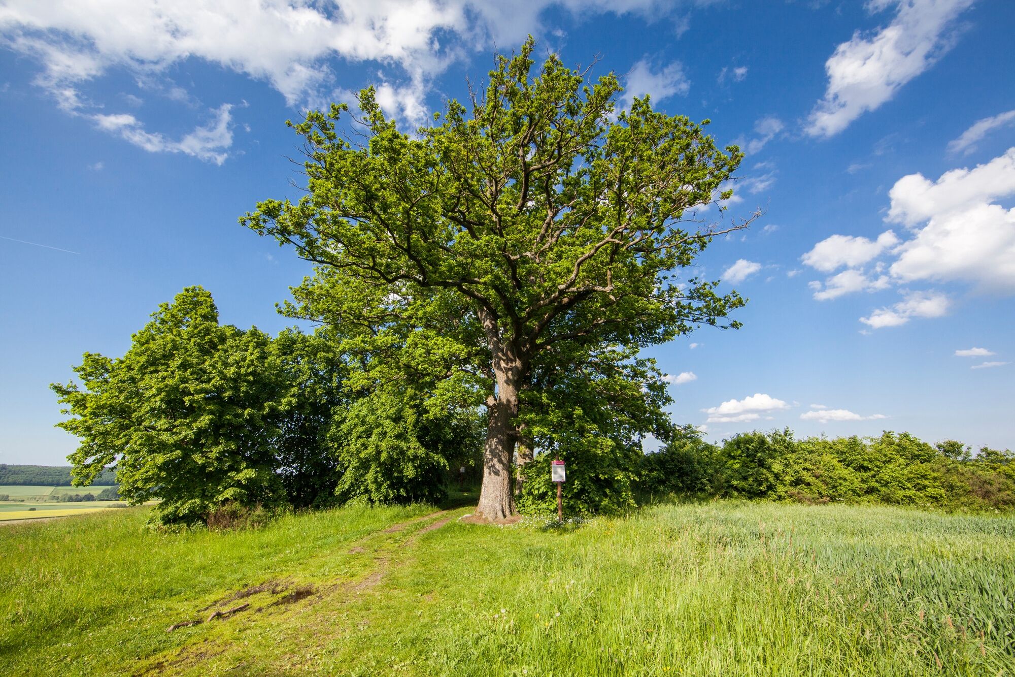
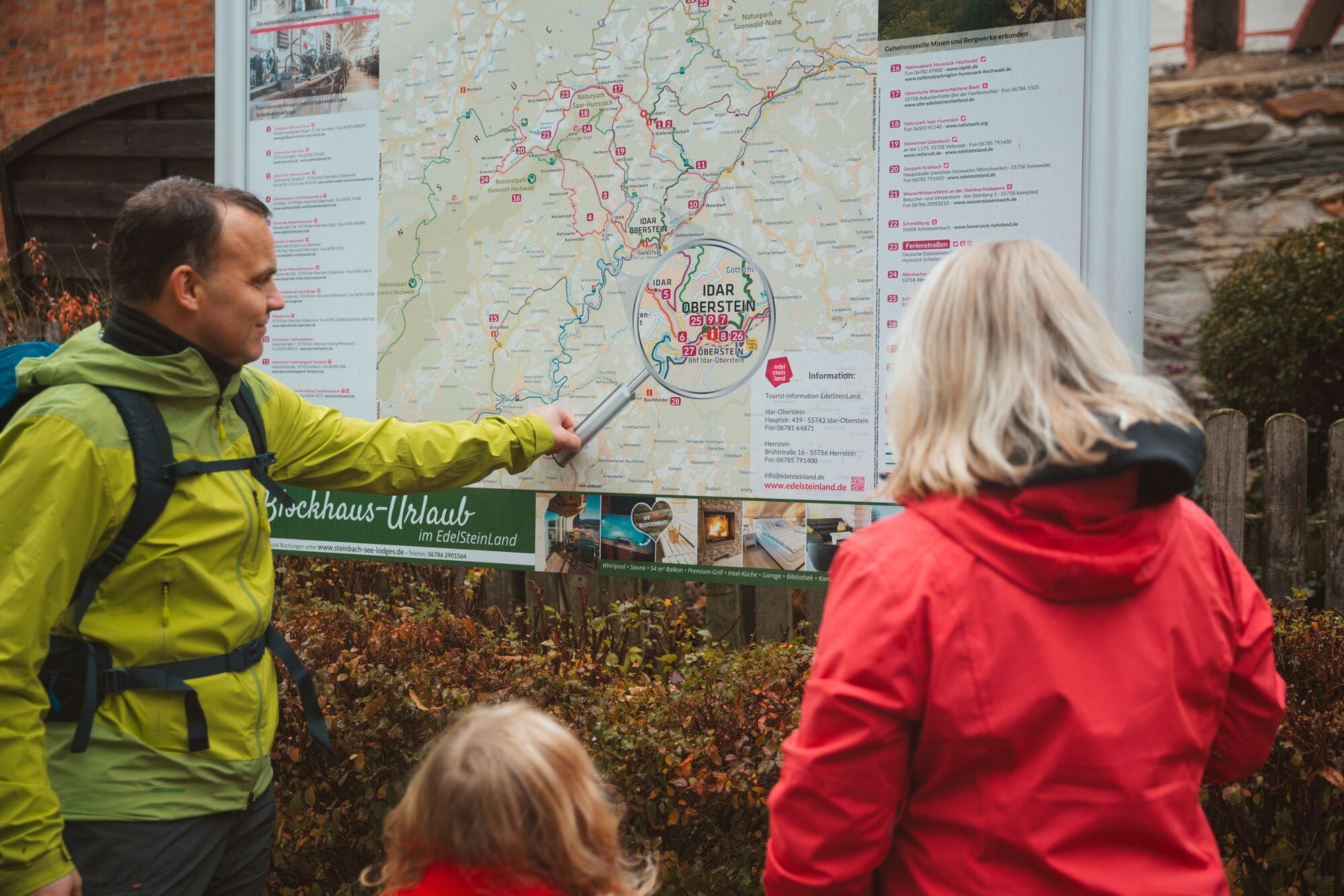
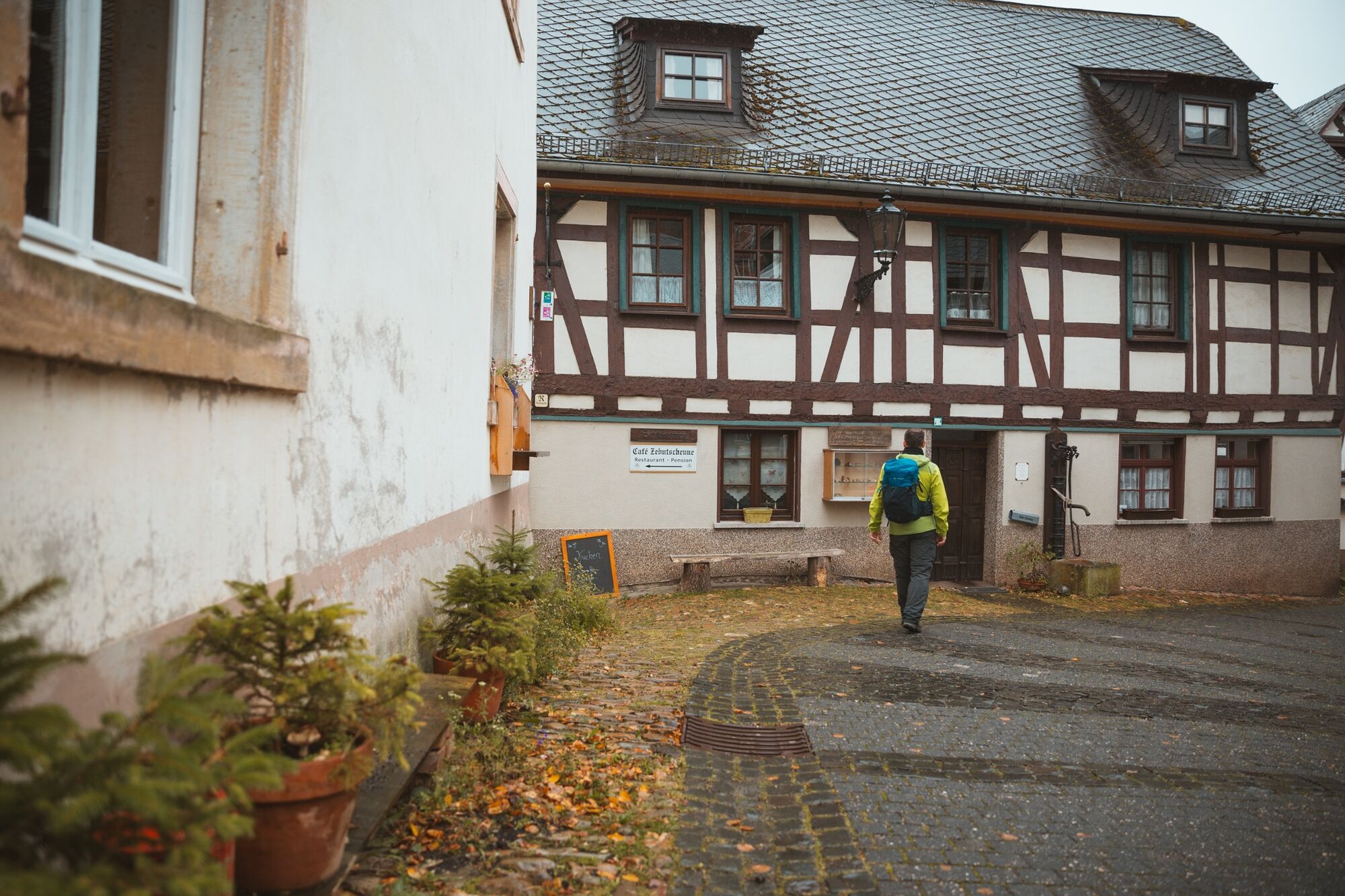
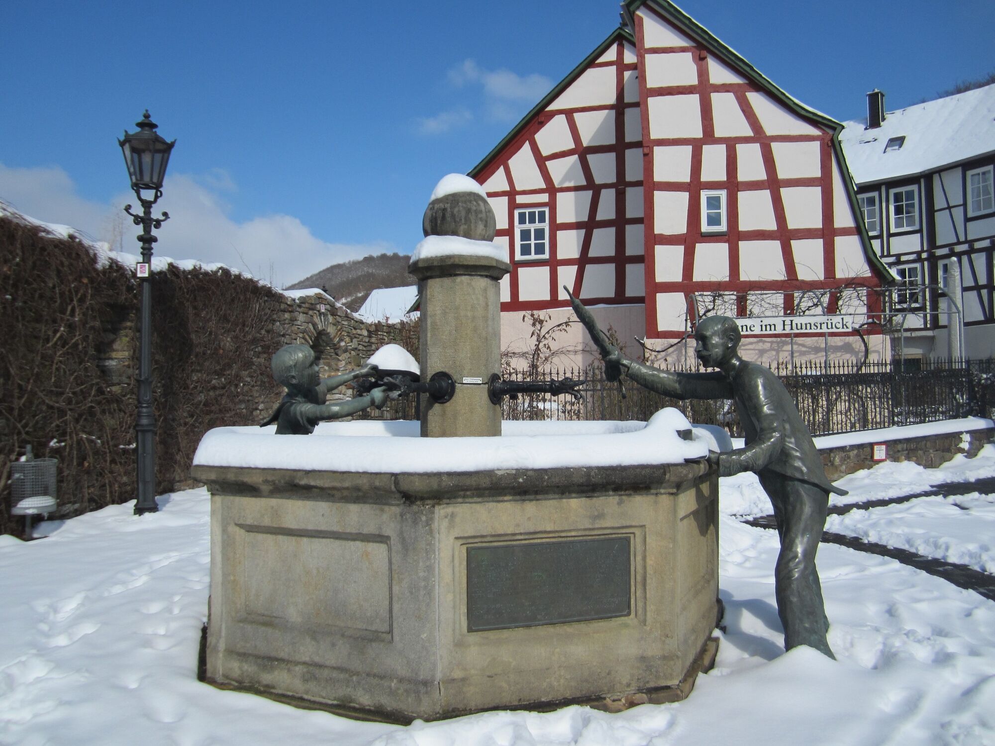
From the historic village centre, the hike sets off into the varied landscape of the gemstone region around Herrstein. Gentle ascents and descents, sleepy paths and stream valleys as well as spectacular views over the Hunsrück. The natural monuments “Jammereiche” and “Rabenkanzel” as well as sensory benches, which invite you to rest, round off this hike. The Medieval Trail was voted Germany’s most beautiful hiking trail in 2010.
- Vaikeus
-
tapa
- Arviointi
-
- Reitti
-
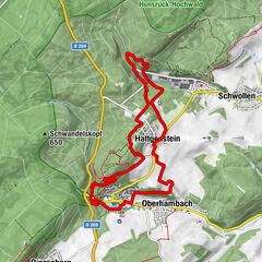
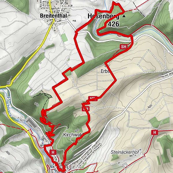
Zehntscheune0,2 kmHerrstein0,2 kmSchloßkirche0,3 kmKirchwald0,8 kmHosenberg (426 m)4,0 kmBreitenthal4,9 kmHerrstein8,4 km
- Paras kausi
-
tammihelmimaalishuhtitoukokesäheinäelosyyslokamarrasjoulu
- Korkein kohta
- 454 m
- Kohde
-
55756 Herrstein, Hauptstraße, wooden entry portal opposite the car park Bachweg
- Korkeusprofiili
-
 © outdooractive.com
- Kirjoittaja
-
Kiertue Dream Loop "Path of the Middle Ages" käyttää outdooractive.com toimitettu.
GPS Downloads


Yleistä tietoa
Virvokepysäkki
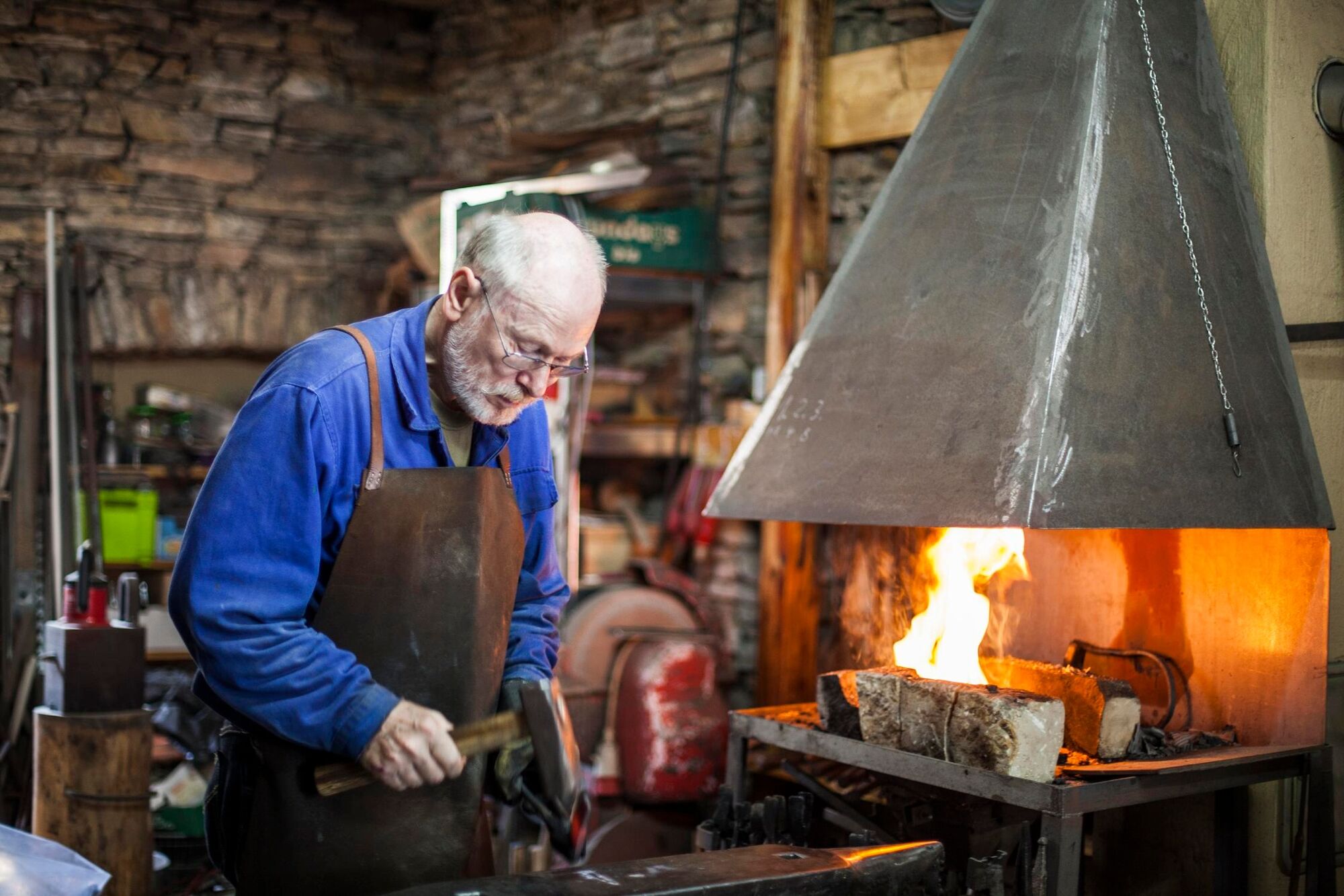
Kulttuuri/Historiallinen
Lupaava
Lisää retkiä alueilla
-
Hunsrück
1152
-
Südlicher Hunsrück / EdelSteinLand
390
-
Herrstein
91