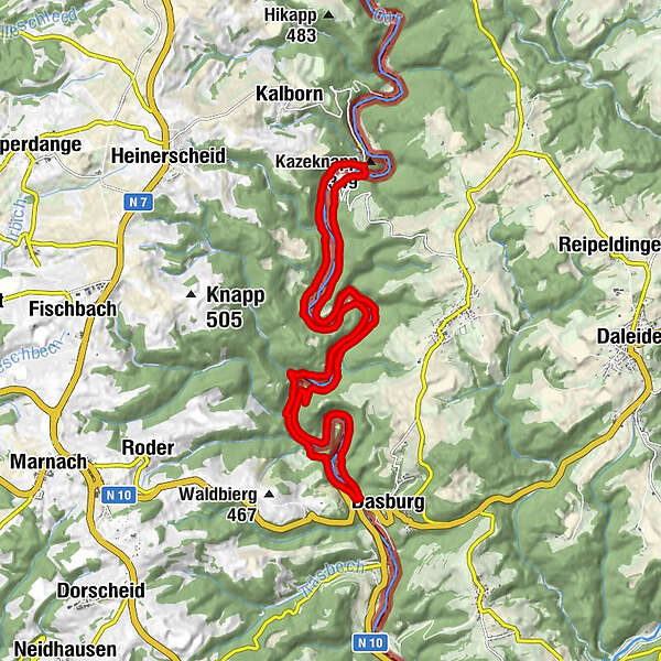
Circular walk NaturWanderPark delux: Nat'Our Route 2 (D-Dasburg/L-Tintesmühle)


- Lyhyt kuvaus
-
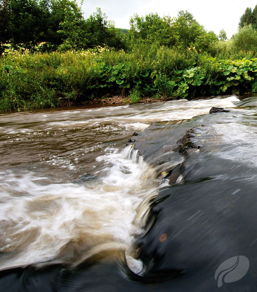
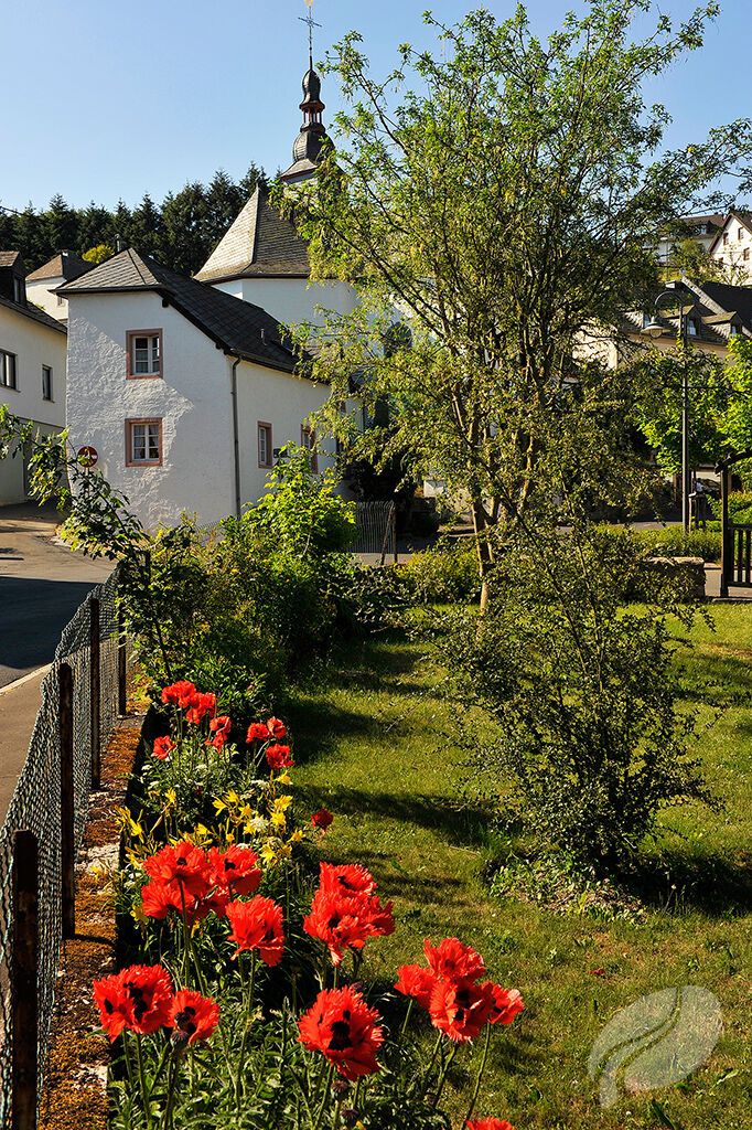
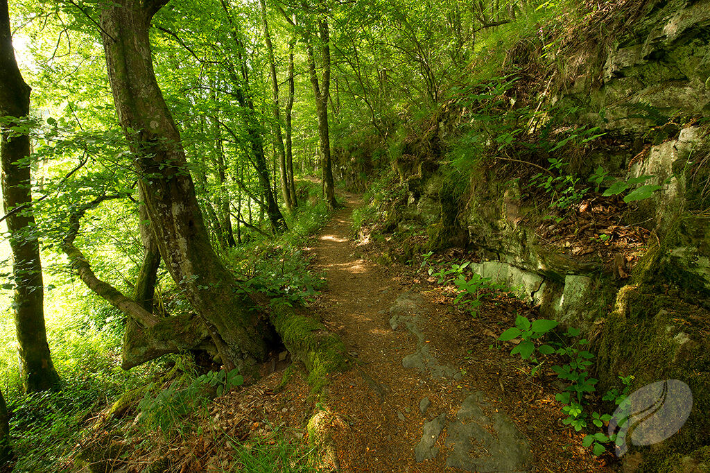
Hiking this route is like travelling back in time. In the last century, a considerable number of mills still rattled along the Our. Weirs were built in many places to channel water to them and create pools for the use of residents. Recently, however, a cross-border project removed the weirs and built fish ladders. Now the trout can once again swim upstream to their spawning grounds. In addition to making flour from grain, the mills ground up oak bark, which contains tannins used in the leather industry. The bark was obtained from coppiced oak forests. This was a welcome source of income for the local population, which used to be very poor. The ruins of the old Dasburg fortress proudly preside over the valley and the town of the same name. An old tannery still stands there, making a side trip to this picturesque site well worth your while.
- Vaikeus
-
tapa
- Arviointi
-
- Reitti
-
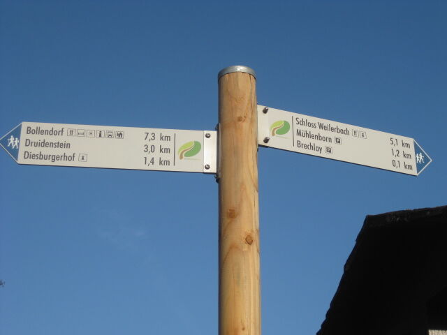
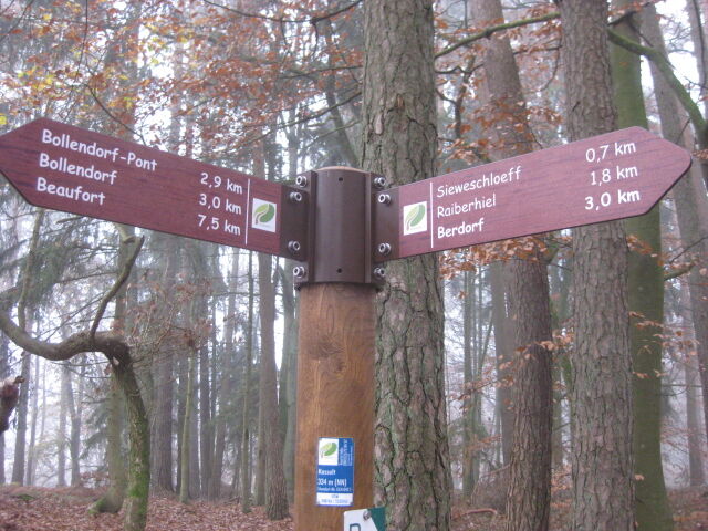
DasburgDasburgerbrück0,0 kmRellesmühle0,6 kmSchwarzes Loch5,9 kmKazeknapp (349 m)9,4 kmTintesmühle9,5 kmRellesmühle17,1 kmDasburgerbrück17,9 kmDasburg17,9 km
- Paras kausi
-
tammihelmimaalishuhtitoukokesäheinäelosyyslokamarrasjoulu
- Korkein kohta
- 356 m
- Kohde
-
Start- und Zielpunkt sind identisch.
- Korkeusprofiili
-
 © outdooractive.com
- Kirjoittaja
-
Kiertue Circular walk NaturWanderPark delux: Nat'Our Route 2 (D-Dasburg/L-Tintesmühle) käyttää outdooractive.com toimitettu.