© Verein Südliche Weinstrasse Annweiler am Trifels e.V., Dominik Ketz - Dominik Ketz


© Verein Südliche Weinstrasse Annweiler am Trifels e.V. - Christina Abele Verein Südliche Weinstrasse Annweiler am Trifels e.V.

© Verein SÜW Annweiler e.V. - TIZIE

- Lyhyt kuvaus
-
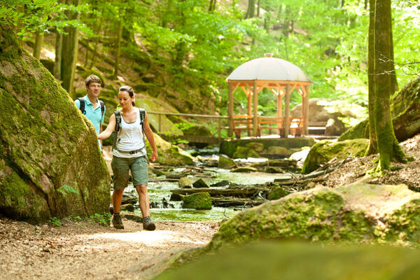
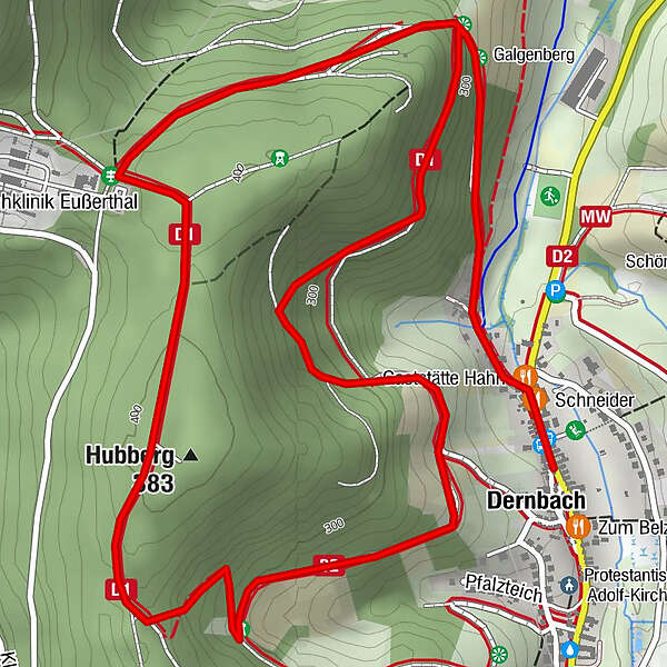
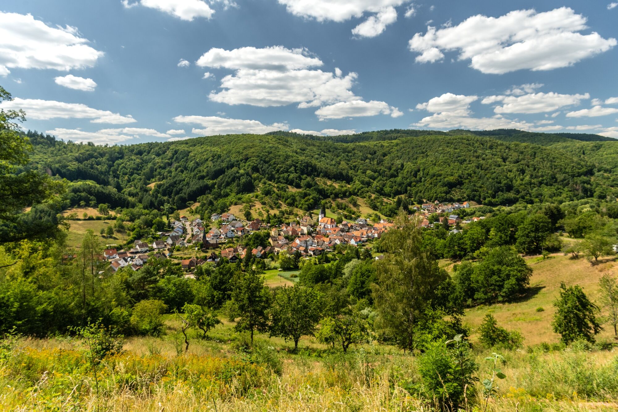
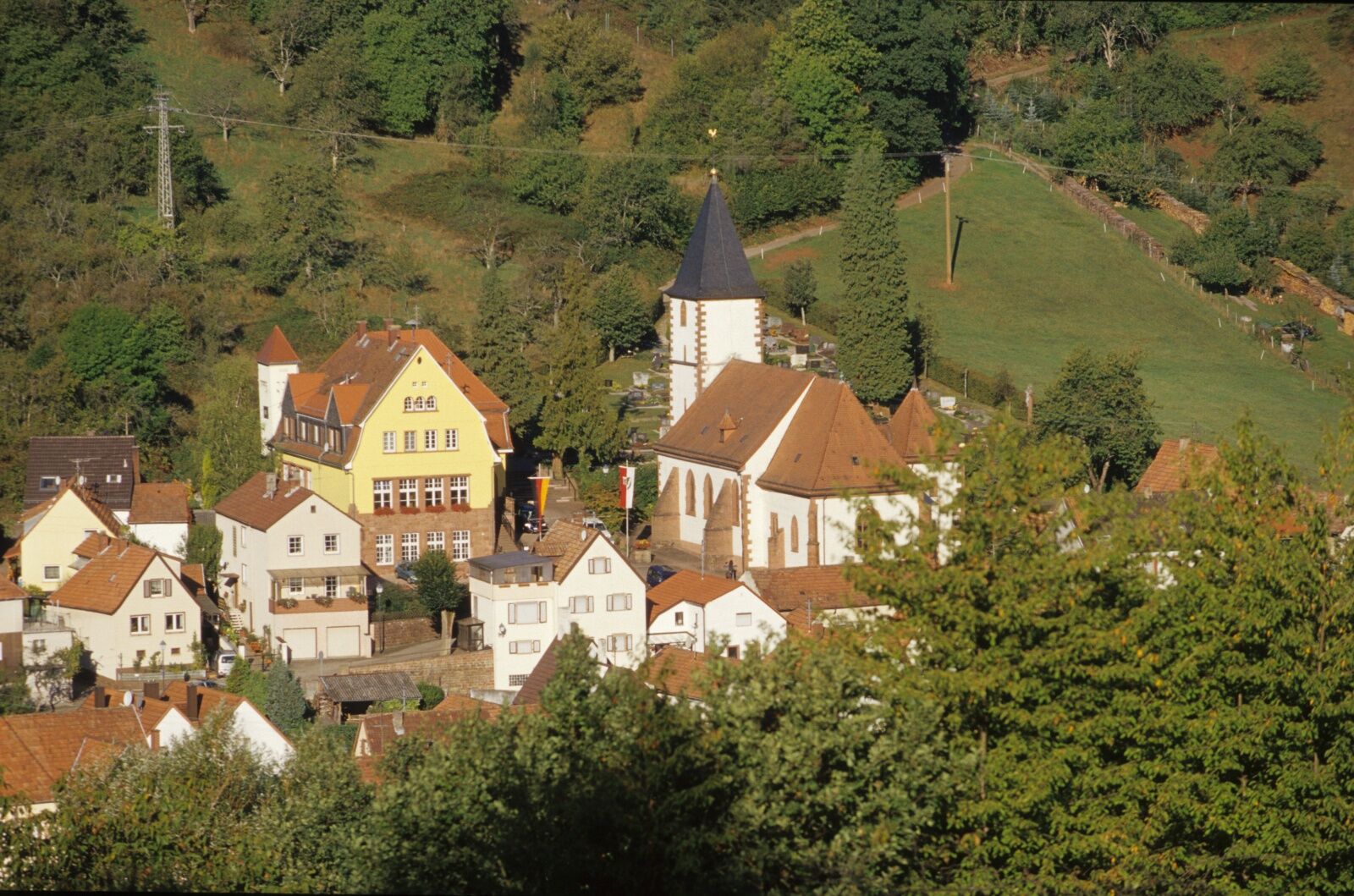
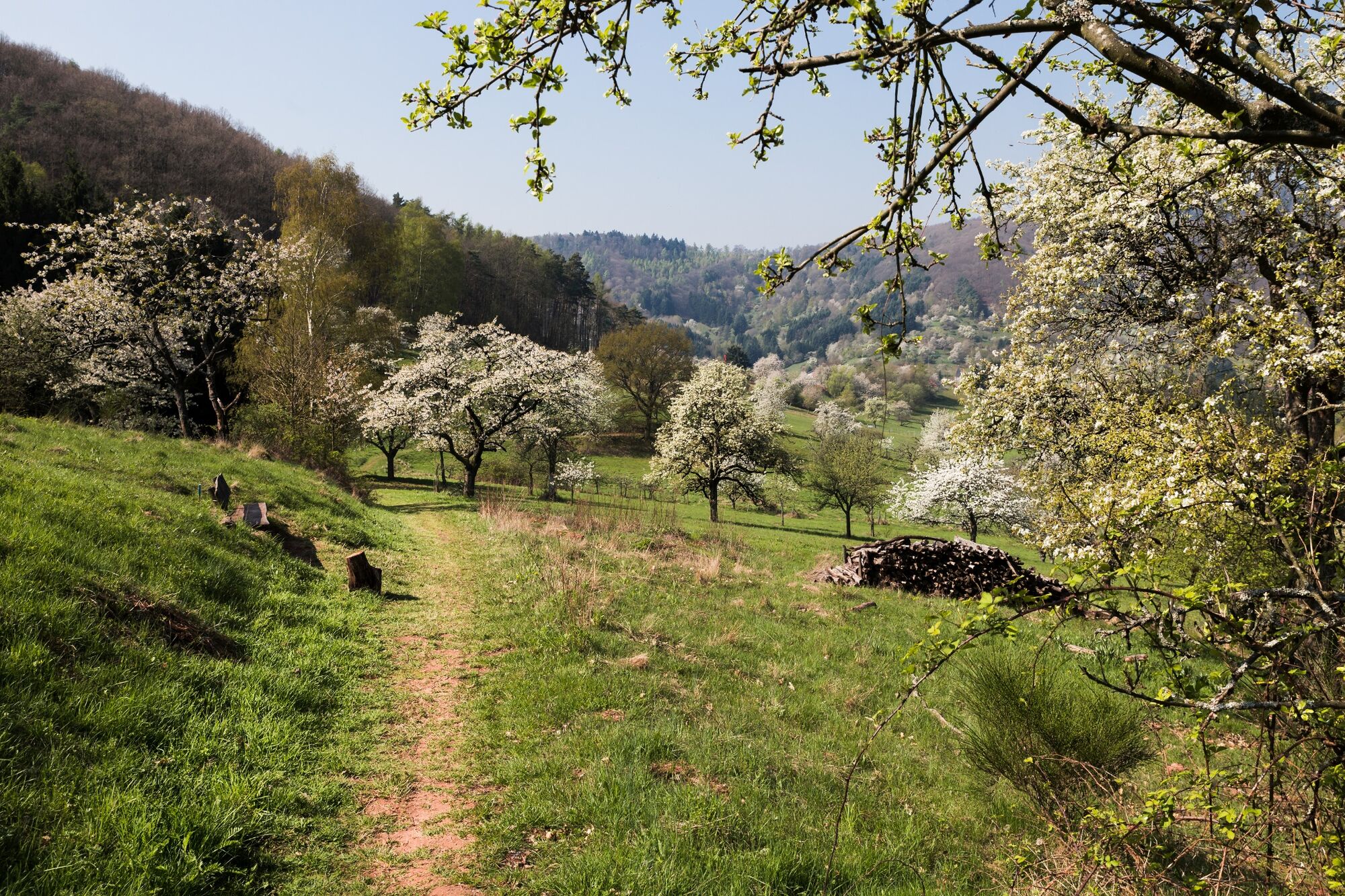
Circular hiking trail from Dernbach to the Eußerthal Sanatorium
- Vaikeus
-
tapa
- Arviointi
-
- Reitti
-
DernbachKatholische Kirche DernbachSchneider0,1 kmGaststätte Hahn0,2 kmGalgenberg0,6 kmGalgenberg4,9 km
- Paras kausi
-
tammihelmimaalishuhtitoukokesäheinäelosyyslokamarrasjoulu
- Korkein kohta
- 388 m
- Kohde
-
At the car park in the centre of 76857 Dernbach
- Korkeusprofiili
-
 © outdooractive.com
-

-
KirjoittajaKiertue Dernbach - D1 Dernbacher Höhenweg käyttää outdooractive.com toimitettu.
GPS Downloads


Yleistä tietoa
Virvokepysäkki
Lisää retkiä alueilla
-
Pfalz
1512
-
Trifelsland
1061
-
Edenkoben
458